
Göreme National Park
Göreme National Park is a protected volcanic landscape on the Cappadocia plateau in Nevşehir Province, Türkiye, defined by eroded tuff cones known as fairy chimneys and by settlements carved into the same soft rock.
Göreme National Park occupies part of the Cappadocia plateau in central Türkiye, inside Nevşehir Province. It is a protected volcanic landscape whose defining features are eroded tuff cones and pillars, widely known as fairy chimneys, together with the rock-cut dwellings, churches and settlements formed in the same soft stone. The park is a UNESCO World Heritage property and covers the valleys, ridges and plateau surfaces around the town of Göreme, extending towards Çavuşin, Üçhisar, Ortahisar and the Zelve area.
Geographical Setting and Scale
The park lies on the Anatolian plateau at roughly 1,100 metres above sea level, a short distance from the provincial capital, Nevşehir. The plateau surface is largely flat, but it is broken by a network of valleys that cut well below the surrounding ground. These valleys divide the plateau into isolated ridges, and it is along their walls that the densest concentrations of rock formations and carved spaces appear. The overall character is that of a dry highland, not a mountainous, forested or coastal environment.
How the Rock Landscape Formed
The foundations of the landscape are volcanic. Ash and debris erupted from several volcanoes in the region, including Erciyes Dağı to the east and Hasan Dağı to the west, spread across the plateau and compacted over time into a soft, pale rock known as tuff. Later eruptions laid down thinner layers of harder, darker rock on top. Where the softer tuff was exposed at the edges of the plateau, rain, meltwater and wind gradually removed it, while the harder caps above protected the material immediately beneath them. This difference in resistance to erosion is what produced the tall, tapering forms that dominate the park today.
Fairy Chimneys and Other Rock Forms
The most recognisable features are the fairy chimneys: conical bodies of tuff, many of them topped by a darker, more durable block of stone. These range in size from low stumps to tall pillars, and they occur both as isolated figures and in dense clusters along valley slopes. Because erosion continues to work on the soft rock, the shapes are at different stages of development, from capped cones to freestanding needles. Elsewhere in the park, the same processes have produced fluted cliffs, ridges, small caves and hollows. The specific forms vary considerably between one valley and the next, which is why the park contains a range of distinct rock landscapes rather than a single repeated scene.
Rock-Cut Dwellings and Carved Settlements
The softness of the tuff made it workable with simple tools, and the landscape has been extensively carved. Dwellings, storage rooms, stairways and passages are cut into the valley walls and the bases of the cones, and several valley floors contain the remains of larger settlements. The Göreme Open Air Museum, within the park, preserves a group of rock-cut monastic buildings with painted interiors. These carved spaces are part of the physical environment of the park rather than separate monuments, and they sit directly within the eroded volcanic terrain.
Vegetation and Habitats
Vegetation reflects the dry, continental plateau climate. The plateau surface is largely open and steppe-like, with sparse low vegetation, while the valley floors support taller trees and denser growth where moisture collects and where shade reduces evaporation. Poplar and willow are commonly seen along the lower parts of the valleys, and the surrounding land includes vineyards and fruit trees, particularly apricot. The contrast between the bare, pale plateau and the greener valley bottoms is one of the clearest environmental distinctions in the park.
The Landscape Through the Seasons
Summers are hot and dry, with strong sunlight and high daytime temperatures on the exposed plateau. Spring and autumn are milder and are the periods when the valleys and plateau are usually at their most comfortable. Winter brings cold conditions and snow, which settles on the plateau and the tops of the cones; when this happens, the contrast between the white surface and the darker protective caps on the fairy chimneys becomes far more pronounced. Precipitation in the region is concentrated in spring, and rain and meltwater are among the main forces continuing to shape the rock today.
Terrain and Walking Conditions
The park is a landscape of slopes, ridges and valley floors rather than flat ground. Surfaces are often dusty and loose in dry weather and can become slippery when wet, and in winter ice and snow make footing uncertain. Much of the walking that takes place in the park follows the valley bottoms, where the ground is generally more level, while the slopes and ridge tops are steeper. Distances within individual valleys can be considerable, and shade is limited on the plateau, so conditions change noticeably between open ground, valley floor and shaded walls.
Access and Practical Conditions
The area is reached by road from Nevşehir, and the wider Cappadocia region is served by buses and by airports near Nevşehir and Kayseri. Within the park, the main valleys and rock formations are spread over a wide area, so moving between them generally involves travelling by road before continuing on foot. Because the terrain is soft and the climate is dry, dust, sun exposure and temperature swings between day and night are regular features of a visit. There is little natural shelter in the open parts of the plateau.
Conservation Status
Göreme National Park and the rock sites of Cappadocia were inscribed on the UNESCO World Heritage List in 1985 as a mixed natural and cultural property. This recognises both the geological processes that created the landscape and the long history of human use of the rock. The continued erosion that shapes the cones also means the formations are inherently fragile, and the soft tuff is easily damaged by direct contact.
Nearby Natural Places in the Same Region
Several other valleys in the surrounding area share the same geological basis. Zelve, with its dense rock-cut settlement, lies to the north-east, while Devrent Valley and Paşabağ contain concentrations of distinctive fairy chimneys. Love Valley, Rose Valley and Pigeon Valley are further examples of the same eroded tuff terrain close to Göreme. To the east, Erciyes Dağı rises as a large volcanic mountain, and to the west, Hasan Dağı is another of the volcanic sources associated with the region's ash deposits. Further south, in neighbouring Aksaray Province, the canyon of the Ihlara Valley cuts into volcanic rock and contains further examples of carved settlement.
Beaches & bays
See the coast →
Related content
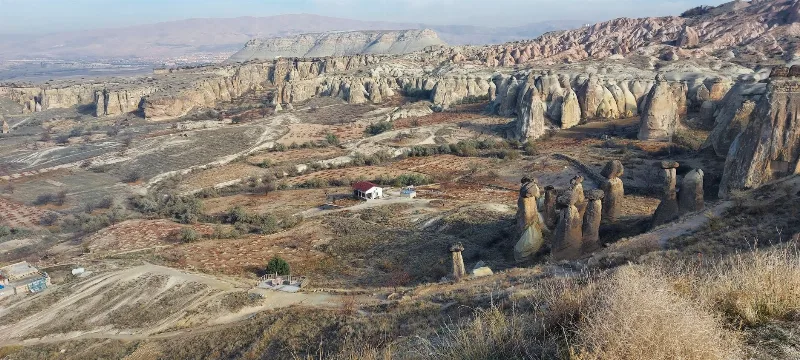
Cappadocia
Cappadocia is a region of Central Anatolia in Turkey defined by eroded volcanic tuff, rock-cut Byzantine churches and multi-level underground cities. This guide explains how the landscape formed, what the main valleys and sites actually contain, and what to know before visiting.
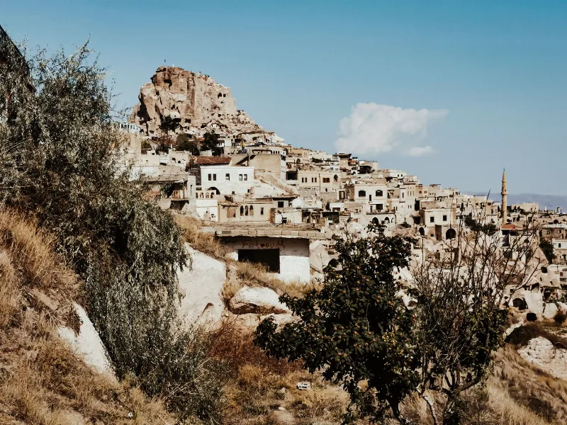
Nevşehir
Nevşehir is a provincial capital in Central Anatolia and the main urban base for the rock landscapes, underground settlements and balloon flights of the Cappadocia region.
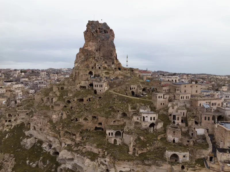
Ortahisar
Ortahisar is a small Cappadocian town in Nevşehir Province, built around a massive rock castle and shaped by carved cave houses, stone streets and old storage tunnels.
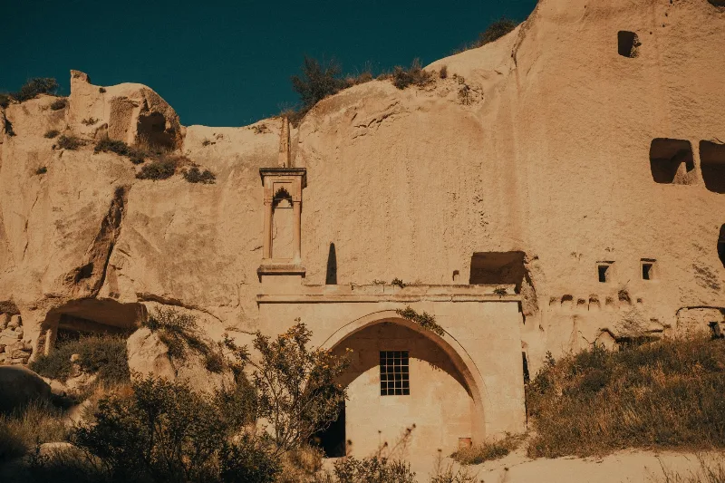
Göreme Open Air Museum
Göreme Open Air Museum is a rock-cut Byzantine monastic complex in the Göreme valley of Cappadocia, Nevşehir Province, whose churches preserve fresco cycles painted between the 10th and 13th centuries. It forms part of the UNESCO World Heritage Site of Göreme National Park and the Rock Sites of Cappadocia.
Uçhisar
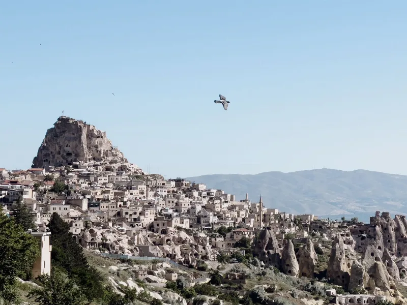
Uçhisar is a small town in the Nevşehir province of Cappadocia, built around a huge volcanic rock fortress that rises above the surrounding valleys and fairy chimneys.
Derinkuyu Underground City
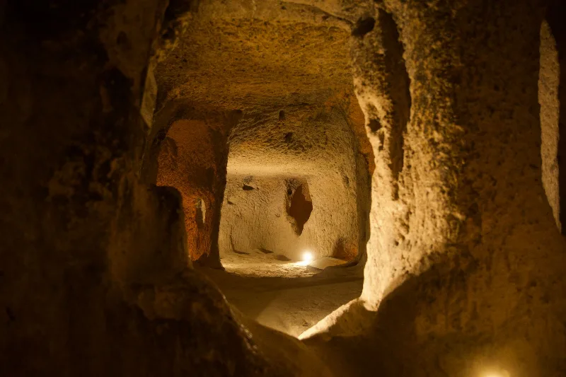
Derinkuyu Underground City is a multi-level rock-cut settlement beneath the town of Derinkuyu in Nevşehir Province, the deepest known underground city in Cappadocia and one of Anatolia's most complete examples of subterranean architecture.