
Cappadocia
Cappadocia is a region of Central Anatolia in Turkey defined by eroded volcanic tuff, rock-cut Byzantine churches and multi-level underground cities. This guide explains how the landscape formed, what the main valleys and sites actually contain, and what to know before visiting.
Cappadocia is a historical region in Central Anatolia, Turkey, whose identity comes from a single fact of geology: layers of soft volcanic rock that erosion has sculpted into tall cones called fairy chimneys. The area most visitors reach is in Nevşehir Province, centred on the towns of Göreme, Ürgüp, Avanos and Uçhisar, though the wider historical region reaches into parts of Kayseri, Aksaray, Niğde and Kırşehir. What makes it stand out is the combination found on the same patch of ground — unusual stone formations, a large group of rock-cut Christian churches with painted interiors, and underground cities cut many levels down into the bedrock.
Where Cappadocia Lies and How Its Rocks Formed
The plateau sits at roughly 1,000 metres above sea level in the interior of Anatolia, far from the coast and separated from the Black Sea and the Mediterranean by mountain ranges. Millions of years ago, eruptions from volcanoes in the area — Erciyes, Hasan Dağı, Göllü Dağ and others — spread thick layers of ash across the land. That ash compacted into tuff, a soft, pale rock that is easy to carve but weak against weather. Later eruptions laid harder basalt and andesite on top.
Wind and rain then did the rest. They wore away the softer tuff and left behind narrow columns wherever a cap of harder rock protected the material underneath. This is why so many fairy chimneys end in a darker, boulder-like hat. The Kızılırmak, the longest river in Turkey, passes through the region near Avanos and has cut its own valley into the same soft stone.
Fairy Chimneys and the Main Rock Formations
Fairy chimneys occur across a wide area rather than at one single viewpoint, and the individual valleys differ in shape and character.
Paşabağ (Monks Valley)
Paşabağ contains some of the most regular, mushroom-shaped chimneys in the region, several of them carrying multiple heads on a single stalk. The name Monks Valley comes from the small hermit cells cut into the rock, once used by monks.
Devrent Valley
Devrent, also called Imagination Valley, has almost no historic buildings and stands out for pure form. The rock here has eroded into shapes that people read as animals and objects, set in a small, walkable area.
Love Valley, Rose Valley and Red Valley
Love Valley is known for especially tall, thick chimneys rising straight from a valley floor. Rose Valley and Red Valley nearby take their names from the colour the tuff shows at different times of day, and they contain trails, chapels and old cave dwellings. The two are often walked together on footpaths.
Uçhisar Castle and Ortahisar
Uçhisar Castle is a single large rock outcrop hollowed out into rooms and tunnels, and it is the highest point in the immediate area. Ortahisar has a similar but smaller rock-castle above its town.
Rock-Cut Churches and the Göreme Open Air Museum
Göreme Open Air Museum is a walled complex of rock-cut monasteries, refectories and churches, and it forms part of the UNESCO World Heritage listing granted in 1985 to Göreme National Park and the rock sites of Cappadocia. The churches were carved directly into the cones and cliffs, then decorated with frescoes painted onto plaster. Most of the surviving paintings date from the tenth to the twelfth centuries, during the Byzantine period, though the site was used over a longer span.
Several churches are individually known. Tokalı Kilise (Buckle Church) is one of the largest and carries a broad programme of scenes. Elmalı Kilise (Apple Church) and Çarıklı Kilise (Sandal Church) are smaller and richly painted. Karanlık Kilise (Dark Church) has frescoes that survived unusually well because very little light ever reached them. Some churches within the complex require a separate ticket or restrict photography, so it is worth checking on arrival rather than assuming one admission covers everything.
The Underground Cities of Derinkuyu and Kaymaklı
Derinkuyu lies in Nevşehir Province, south of the main tourist towns, and is the deepest of the region's excavated underground settlements. It descends through multiple levels, with ventilation shafts drawing air down from the surface, large circular stone doors that could be rolled across tunnels from the inside, stables, storage rooms, wine presses, kitchens and a cruciform church on a lower level. The scale suggests it was built to shelter a large community, with estimates running into thousands of people along with their animals and supplies, sometimes for weeks at a time.
Kaymaklı, closer to Nevşehir, is wider and lower than Derinkuyu, with broad tunnels and separate chambers, and many visitors find it easier to walk. Other underground settlements such as Özkonak, Mazı and Tatların are smaller and far less crowded. None of these were cut in one go; they were excavated and extended over many centuries, with the deepest phases usually linked to periods of insecurity and raids.
Hot Air Ballooning Over the Valleys
Cappadocia is one of the busiest ballooning areas in the world. Flights launch around sunrise, when winds are calmest, from several sites around Göreme, Çavuşin and Ürgüp. A standard flight lasts about an hour and lifts passengers over the valleys, giving a view of the fairy chimneys and the carved settlements from above. Flights are highly weather dependent: strong wind or poor visibility cancels them, sometimes at short notice, and winter mornings can be bitterly cold. Booking in advance matters, but no booking guarantees a flight on a given day.
Valleys, Villages and Sites in the Wider Area
Zelve Open Air Museum, west of Göreme, is an abandoned cave village spread over three connected valleys; it was inhabited until the mid-twentieth century, when the community was moved for safety. Soğanlı Valley, further east towards Kayseri, has churches and a village known for making cloth dolls. In Aksaray Province, the Ihlara Valley is a deep canyon cut by the Melendiz river, with rock-cut churches along a walking route. The town of Avanos is known for pottery made from clay taken from the Kızılırmak. Villages such as Mustafapaşa and Güzelyurt preserve stone architecture from the region's Greek Orthodox past.
Getting There and Moving Around
Two airports serve the region. Nevşehir Kapadokya Airport is the closer of the two to the main towns, while Kayseri Erkilet Airport lies further east and needs a longer road transfer. Long-distance buses link the region with Istanbul, Ankara and other Turkish cities, arriving mainly at Nevşehir. Inside Cappadocia there is no passenger railway; dolmuş minibuses connect Nevşehir, Göreme, Ürgüp and Avanos, but many of the valleys and the underground cities are easier to reach with a car. Walking trails connect Göreme with Çavuşin, Uçhisar and Ortahisar, and several valleys can be linked on foot in a single day.
Climate and the Best Time to Visit
The climate is continental, with hot, dry summers and cold winters. July and August regularly exceed 30°C in the shade, and there is little cover in the valleys. Winter brings snow that can settle on the fairy chimneys, along with sub-zero nights; the landscape is quiet and the light is low. Spring and autumn are the most comfortable periods, with mild daytime temperatures and green or golden scenery. Balloon flights run throughout the year, but wind cancellations can happen at any time, and early mornings are cold even in summer.
Practical Points Before You Go
Much of Cappadocia is open-air and uneven. Paths in the valleys are dirt and rock, churches often require steps and stooping through low doorways, and the underground cities involve narrow tunnels and confined spaces, which is difficult for anyone uncomfortable underground. Sturdy shoes, water and sun protection are more useful than formal clothing. Most sites are paid for individually or covered by a museum pass sold for the region, and opening hours can shorten outside the main season. Because the best-known sites draw large groups in the middle of the day, early starts give both cooler air and fewer people. Distances between valleys can be larger than they look on a map, so it helps to group sites by area rather than crossing the region repeatedly.
Related content
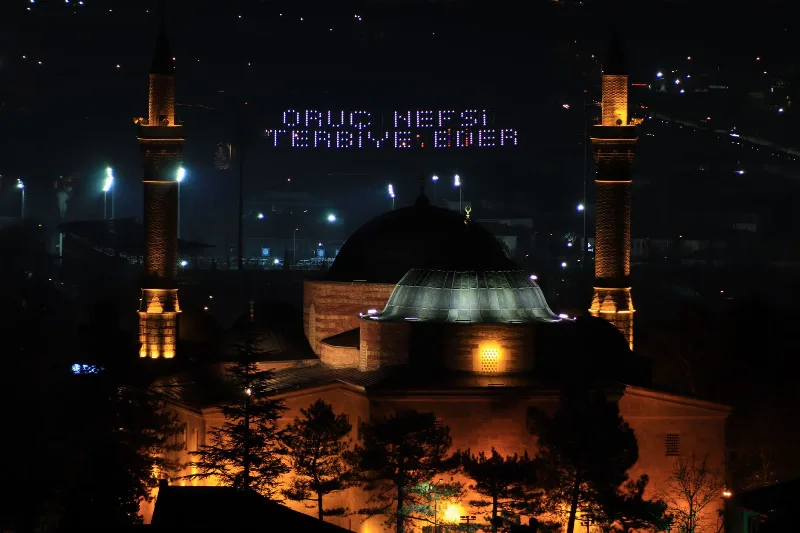
Nevşehir
Nevşehir is a provincial capital in Central Anatolia and the main urban base for the rock landscapes, underground settlements and balloon flights of the Cappadocia region.
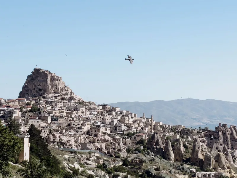
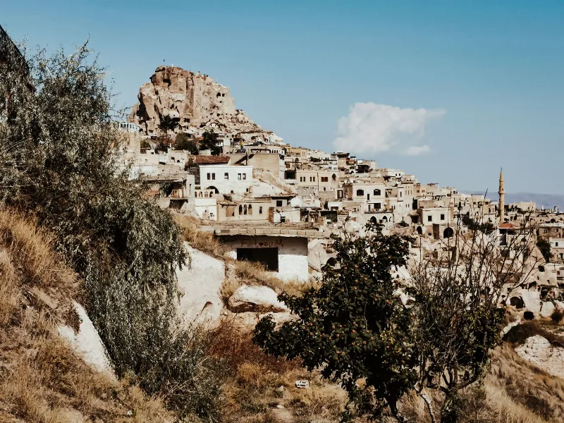
Uçhisar
Uçhisar is a small town in the Nevşehir province of Cappadocia, built around a huge volcanic rock fortress that rises above the surrounding valleys and fairy chimneys.
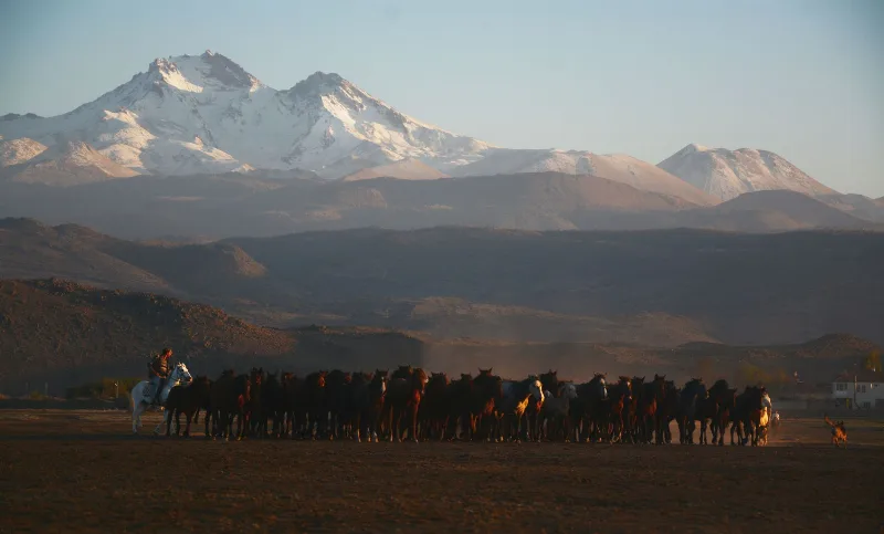
Kayseri
Kayseri is a major inland city in Central Anatolia, set on a plain at the foot of Mount Erciyes, and known for its Seljuk architecture, its manufacturing economy and a food culture built on pastırma and mantı.
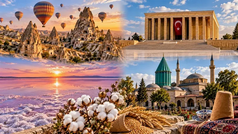
Central Anatolia Region
Central Anatolia is the historic heartland of Türkiye, known for its wide plains, extraordinary rock formations, ancient civilizations and traditional towns. From the fairy chimneys of Cappadocia to the cultural landmarks of Ankara and Konya, the region reveals the rich history and natural beauty of inner Anatolia.
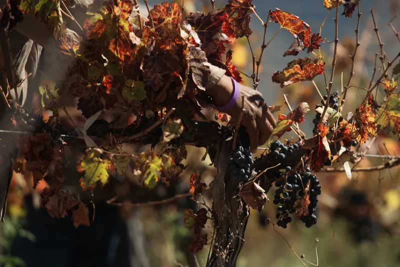
Grape Harvest in Nevşehir
Each autumn the volcanic slopes around Nevşehir turn to grape picking, when families gather fruit for wine and molasses across the Cappadocia vineyards.
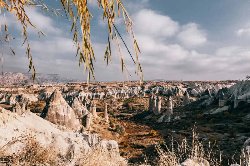
Göreme National Park
Göreme National Park is a protected volcanic landscape on the Cappadocia plateau in Nevşehir Province, Türkiye, defined by eroded tuff cones known as fairy chimneys and by settlements carved into the same soft rock.