
Kayseri
Kayseri is a major inland city in Central Anatolia, set on a plain at the foot of Mount Erciyes, and known for its Seljuk architecture, its manufacturing economy and a food culture built on pastırma and mantı.
Kayseri is a large inland city in the Central Anatolia region of Türkiye, spread across a broad plain at the northern foot of Mount Erciyes, an extinct stratovolcano that reaches 3,917 metres. It is the capital and largest settlement of Kayseri Province and holds the status of a metropolitan municipality, functioning primarily as an industrial, commercial and university centre rather than a resort destination. What sets it apart from other Anatolian cities is the combination of a dense Seljuk-era architectural legacy, a strong manufacturing economy that has shaped its modern skyline, and a food culture associated with pastırma, sucuk and mantı. It also stands at the edge of the wider Cappadocia region and acts as the main urban hub for the surrounding plateau.
Where the city lies
Kayseri occupies a wide, largely flat basin in the middle of the Central Anatolian plateau. The land around it is dry and open, given over mainly to grain and field crops, and the horizon to the south is dominated by the mass of Mount Erciyes. From this core the province extends in several directions, reaching toward the Kızılırmak valley in the north and toward higher ground on the southern side of the province. This central inland position gives the city its character: no coastline, wide horizons, and a clear separation between the seasons rather than the mild conditions found on the coasts.
From Caesarea to a modern Anatolian city
The site has been continuously settled for a very long time. In antiquity it was known as Mazaca, and under Roman rule it acquired the name Caesarea, which survives in the modern Turkish form Kayseri. The city later passed through Byzantine, Seljuk and Ottoman hands, and each of these periods left physical traces in its fabric. The Seljuk contribution is the most visible, and it remains the main reason the historic core attracts attention today.
The Seljuk monuments and the historic centre
The old core of Kayseri is grouped around a series of medieval complexes built during the Seljuk period, and these give the city a distinctive architectural identity. The Hunat Hatun Complex combines a mosque, a madrasa and a hamam in a single foundation, named after Mahperi Hunat Hatun, and it remains one of the best-known landmarks of the city. Nearby, the Gevher Nesibe complex is remembered as one of the early Seljuk hospitals, a foundation that also served as a centre of medical teaching. The Sahabiye Madrasa and the Ulu Cami, the Great Mosque, belong to the same medieval layer of the city and are among its oldest surviving religious buildings. Kayseri Castle, whose origins reach back to the Byzantine period and which was later expanded, anchors the centre and today gives the old town a defined focus. Together these structures form a compact historic zone that can be understood on foot, and they are the clearest expression of the city's medieval past. Detailed coverage of individual monuments belongs with the dedicated historic places content.
Urban structure and central districts
Modern Kayseri is organised around two central districts, Melikgazi and Kocasinan, which together contain the core of the built-up area, its business quarters and most of its residential neighbourhoods. The city has expanded steadily outward from the old core, with wide avenues and a large share of recent construction reflecting its economic growth. To the south, Talas is a separate district centre set on rising ground above the plain, historically associated with stone-built houses and now closely tied to the city through its residential role and its proximity to the university district. Further out, district centres such as Hacılar and İncesu mark the edges of the urban area and the transition into open farmland.
Mount Erciyes and the surrounding landscape
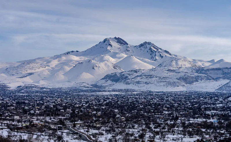
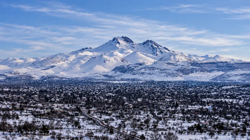
Mount Erciyes is the single most important geographical feature of the area. The volcano rises south of the city and is visible from much of the plain, and its upper slopes hold snow through the winter months, supporting a winter sports season based on the mountain. Beyond the volcano, the province contains further natural variety. To the south the land rises toward higher mountain country, while wetlands and open steppe lie in other parts of the province, giving the area a range of habitats that differ sharply from the dry farmland around the city. The mountain and these surrounding landscapes are treated in more detail in the nature section.
Pastırma, sucuk and mantı
Food is part of how Kayseri presents itself. Pastırma, a cured and pressed dried beef, and sucuk, a spiced fermented sausage, are both strongly associated with the city, and the local version of mantı, small filled dumplings, is widely recognised across Türkiye. These products are markers of regional identity and of the city's long trading and processing traditions rather than simply restaurant dishes, and they belong to the wider story of Anatolian regional produce.
When to visit
Kayseri has a continental inland climate, with cold winters that bring snow and frost, and hot, dry summers on the plain. Spring and autumn generally offer the most comfortable conditions for moving around the city and the surrounding countryside, with moderate temperatures and clearer light. Winter is the season for the mountain above the city, while high summer can be intense on the open plateau. Visitors planning to combine the city with the surrounding landscape should take the seasonal contrast into account, since conditions on Mount Erciyes differ considerably from those in the streets below.
Getting there and the wider region
Kayseri sits on established road and rail connections across Central Anatolia and has its own airport serving the city and the wider province, which makes it a practical base for the surrounding area. Its position matters regionally: the city is commonly treated as a gateway toward the Cappadocia area to the west and south-west, and it links the plateau with routes running toward the larger cities of Anatolia. Within reach of Kayseri are archaeological and natural sites of national importance, including the early trading settlement mound at Kültepe, which is covered within historic places content, and wetland and mountain areas managed as protected landscapes. Smaller towns and villages across the province relate to the city as market and administrative centres, and these are introduced separately in the villages and small towns section. For anyone planning a visit, the essential point is that Kayseri is not a single sight but a large, working Anatolian city whose medieval core, industrial present and mountain backdrop each explain a different part of its identity.
Discover Food in Türkiye
All food →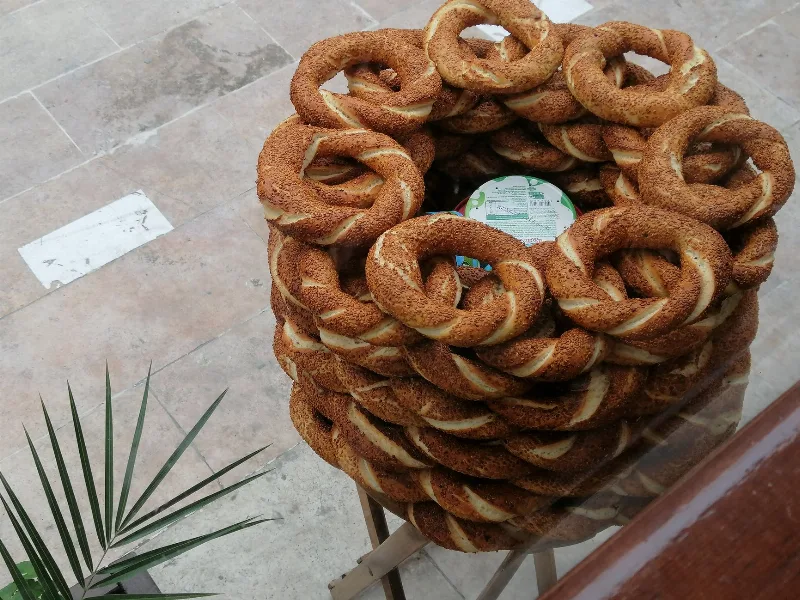
Simit
Simit is a ring-shaped Turkish bread covered in sesame seeds, strongly associated with Istanbul and sold as everyday street food. It is eaten fresh, most often with tea, and has a crisp crust around a chewy crumb.
Explore →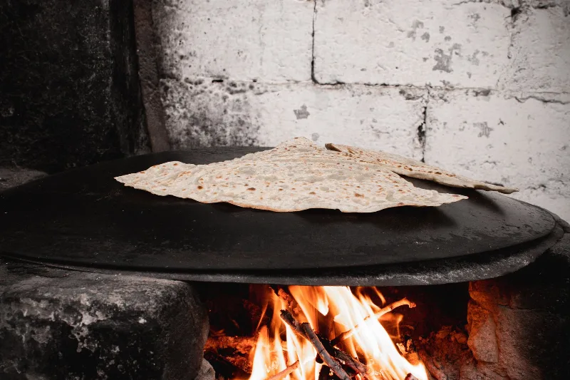
Bazlama
Bazlama is a soft, thick Turkish flatbread made from a leavened dough and cooked on a hot griddle. It is a staple of village baking across Anatolia, eaten warm with butter or used to wrap other foods.
Explore →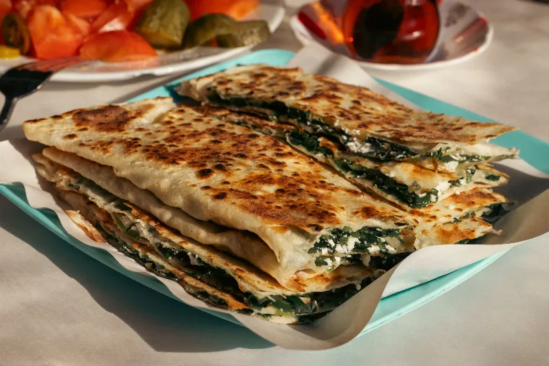
Gözleme
Gözleme is a thin, hand-rolled Anatolian flatbread folded around savory fillings such as cheese, spinach, or minced meat and cooked on a sac griddle. The article covers its regional variations, cooking method, texture, and traditional serving style.
Explore →Related content
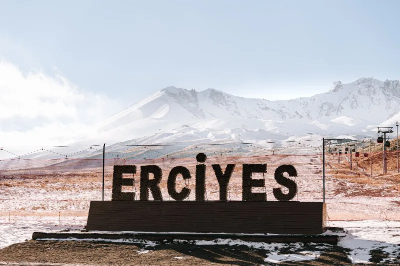
Mount Erciyes
Mount Erciyes is a dormant stratovolcano in Kayseri Province and the highest peak in Central Anatolia, rising sharply from the surrounding plain to a snow-covered summit at 3,917 metres.
Mount Erciyes
Mount Erciyes is a dormant 3,917-metre stratovolcano rising above the Kayseri plain in Central Anatolia, known for its ski resort, summer trekking routes and its role as a landmark of Turkish volcanism.
Cappadocia
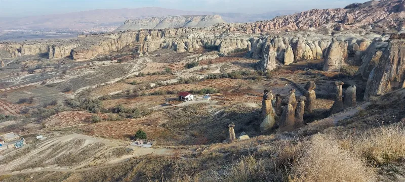
Cappadocia is a region of Central Anatolia in Turkey defined by eroded volcanic tuff, rock-cut Byzantine churches and multi-level underground cities. This guide explains how the landscape formed, what the main valleys and sites actually contain, and what to know before visiting.
Central Anatolia Region
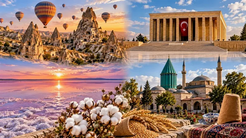
Central Anatolia is the historic heartland of Türkiye, known for its wide plains, extraordinary rock formations, ancient civilizations and traditional towns. From the fairy chimneys of Cappadocia to the cultural landmarks of Ankara and Konya, the region reveals the rich history and natural beauty of inner Anatolia.
Kayseri and the Art of Turkish Pastry Making
In the Anatolian city of Kayseri, thin sheets of dough are rolled, filled and layered into pastries that anchor everyday meals and festive tables alike.
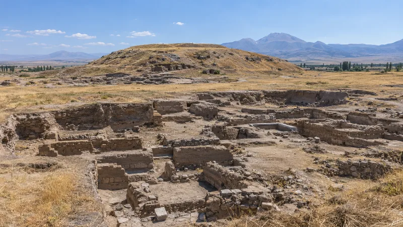
Kültepe
Kültepe, the ancient city of Kanesh, is a Bronze Age mound and lower-city site northeast of Kayseri in central Türkiye. Its Assyrian merchants left behind thousands of cuneiform tablets, the earliest written records discovered in Anatolia.