
Mount Erciyes
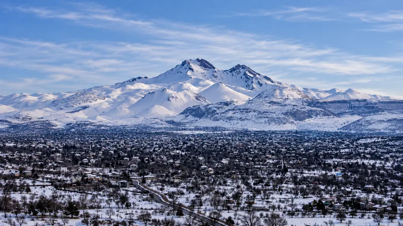
Mount Erciyes is a dormant stratovolcano in Kayseri Province and the highest peak in Central Anatolia, rising sharply from the surrounding plain to a snow-covered summit at 3,917 metres.
Mount Erciyes (Erciyes Dağı) is a dormant stratovolcano in Kayseri Province, in the Central Anatolia region of Türkiye. It stands immediately south of the city of Kayseri and reaches 3,917 metres at its summit, making it the highest peak in Central Anatolia. The mountain is a large, isolated volcanic massif that rises abruptly from a broad, largely flat plain, and its upper slopes carry snow for much of the year. It is one of the best-known examples of volcanic landforms in the country and a recognised centre for winter sports.
Geological Setting and Formation
Erciyes belongs to the Central Anatolian volcanic province, a group of young volcanic centres that also includes Hasan Dağı and the Melendiz massif further west. The mountain is a stratovolcano, built up over a long period by repeated eruptions that laid down alternating layers of lava and loose volcanic debris. Its lavas are typical of this province, and the volcano has produced both thick lava flows and widespread deposits of ash and other fragmented material that cover parts of the surrounding plain.
The cone is now dormant rather than extinct, and its shape reflects both its eruptive history and long-term erosion. Gullies, ridges and steep-walled valleys cut into the flanks, showing where water and ice have removed material over time. The massif is not a single simple cone: it consists of a main summit area surrounded by secondary vents and smaller volcanic features, which is why the mountain looks broad and irregular when viewed from the plain rather than perfectly symmetrical.
Landscape and Elevation
The contrast between the volcano and its surroundings is its defining characteristic. The Kayseri plain lies at roughly a thousand metres above sea level, and the summit rises around 2,800 metres above that level within a relatively short horizontal distance. This produces a steep, imposing profile visible from much of the surrounding region.
The highest parts are rocky and barren, with bare volcanic rock, scree and permanent or near-permanent snow fields in shaded hollows. Below the rocky summit zone the slopes become smoother and are covered with loose volcanic material. There are no large lakes on the mountain itself; water from snowmelt drains down the flanks into streams that feed the plain below.
Vegetation and Natural Habitats
Because of its height and its dry continental setting, Erciyes shows a clear vertical change in vegetation. The lower slopes and the surrounding plain are covered by dry steppe grassland, typical of Central Anatolia, with scattered shrubs and small stands of oak and juniper in less exposed positions. As altitude increases, trees disappear and the vegetation thins to low, hardy plants adapted to cold and wind, before giving way to bare rock and snow at the top.
The treeless upper mountain offers little cover, and the plant and animal life that survives there is limited by cold, exposure and a short growing season. The wider Kayseri plain supports a different set of habitats, including wetlands and farmland, which are more productive than anything found on the volcano itself.
How the Mountain Changes Through the Seasons
Winter dominates the upper mountain. Snow begins to settle on the higher slopes in late autumn and can remain into late spring, and the summit zone is white for a large part of the year. Conditions are cold, windy and changeable, and snow cover on roads and paths can vary greatly from week to week. Skier and visitor numbers are highest when the snow is deepest, generally between the winter months and early spring.
Spring brings melting snow, heavier run-off in the gullies and a brief greening of the lower steppe, while the high summit may still hold snow. Summer is dry and warm on the plain but can be cold and windy at altitude, with clear skies and strong sunshine. Only small, sheltered snow patches usually survive at the very top. Autumn is cooler and often clear, with the first new snow arriving on the highest ground toward the end of the season.
Access and the Northern Slopes
Erciyes is reached from Kayseri, a large city with its own airport and good road connections across Central Anatolia. Roads run south from the city toward the mountain and its northern slopes, where a developed winter sports area has been established, roughly 25 kilometres from the city centre. This side of the mountain is the most visited, because it faces the city and is the easiest to reach.
Other flanks are far quieter and much less developed, consisting mainly of open steppe, rough volcanic ground and small settlements. Away from the managed northern slopes, there is no organised infrastructure, and the terrain is genuine open mountain country.
Practical Considerations
Altitude is the main thing to plan for. At close to 4,000 metres, the summit is far higher than the plain, and cold, wind and reduced oxygen are real factors even in summer. Weather can change quickly, and clear conditions at the base do not guarantee clear conditions higher up. Snow, ice and poor visibility can affect both roads and walking terrain in winter and spring.
Facilities, shelter and marked paths are concentrated in the developed northern area. Elsewhere, the mountain should be treated as unmanaged high ground where people are responsible for their own safety. Anyone travelling to the upper slopes should carry suitable clothing and expect cold conditions regardless of the season.
Related Natural Places in the Region
Erciyes sits within a wider landscape of Central Anatolian volcanism and steppe. Hasan Dağı, another large volcano, lies to the west in Aksaray Province, and the Melendiz area forms part of the same volcanic belt. South of Kayseri, the Aladağlar range offers a completely different mountain environment of limestone peaks and deep valleys. On the plain near Kayseri, the Sultan Sazlığı wetland provides a strong contrast to the dry, rocky slopes of the volcano, showing how varied the natural settings of this inland region can be.
Beaches & bays
See the coast →
Related content
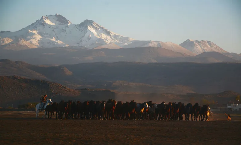
Kayseri
Kayseri is a major inland city in Central Anatolia, set on a plain at the foot of Mount Erciyes, and known for its Seljuk architecture, its manufacturing economy and a food culture built on pastırma and mantı.
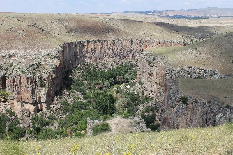
Aksaray
Explore Aksaray, Central Anatolia: history, standout sights, landscapes, local food and practical travel advice for an unforgettable journey in Türkiye.
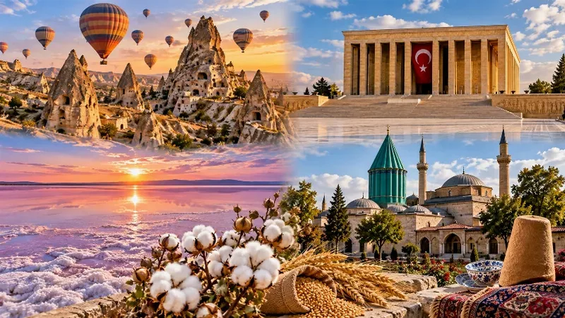
Central Anatolia Region
Central Anatolia is the historic heartland of Türkiye, known for its wide plains, extraordinary rock formations, ancient civilizations and traditional towns. From the fairy chimneys of Cappadocia to the cultural landmarks of Ankara and Konya, the region reveals the rich history and natural beauty of inner Anatolia.
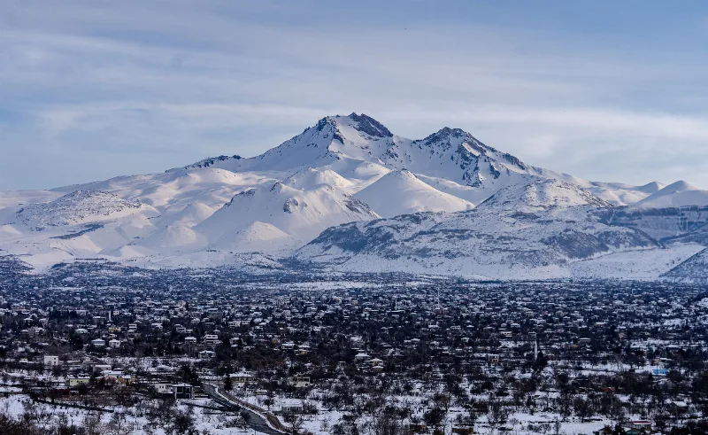
Snow Season in Erciyes, Kayseri
Erciyes, the dormant volcano rising south of Kayseri, carries a reliable snow cover from roughly December into March, transforming its bare upper flanks into one of Central Anatolia's main winter playgrounds. The exact start and end of that cover shifts each year with snowfall and temperature.
Mount Erciyes
Mount Erciyes is a dormant 3,917-metre stratovolcano rising above the Kayseri plain in Central Anatolia, known for its ski resort, summer trekking routes and its role as a landmark of Turkish volcanism.
Kayseri and the Art of Turkish Pastry Making
In the Anatolian city of Kayseri, thin sheets of dough are rolled, filled and layered into pastries that anchor everyday meals and festive tables alike.