
Kültepe
Kültepe, the ancient city of Kanesh, is a Bronze Age mound and lower-city site northeast of Kayseri in central Türkiye. Its Assyrian merchants left behind thousands of cuneiform tablets, the earliest written records discovered in Anatolia.
Kültepe, known in antiquity as Kanesh, is an archaeological site in central Türkiye roughly 20 kilometres northeast of Kayseri, close to the village of Karahöyük. It is made up of two parts: a large settlement mound, the kültepe or "ash hill" that gives the site its modern Turkish name, and a broad lower city that once spread around its base. The place is significant above all for the early second millennium BC, when Assyrian merchants from the city of Assur established a trading colony here and produced archives of cuneiform tablets that remain the oldest written documents ever recovered in Anatolia.
The Mound and the Lower City on the Kayseri Plain
The site lies on the northern edge of the fertile plain of Kayseri, with Mount Erciyes visible to the south. The citadel mound rises some twenty metres above the surrounding land and was the fortified core of the settlement; the lower town stretched outward from its foot across a wide, gently sloping area. This division is fundamental to understanding Kültepe, because the two parts served different purposes. The mound held palaces, administrative buildings and temples, while the lower city contained densely packed houses, workshops and storerooms where ordinary residents and foreign merchants lived.
The geography explains the site's importance. The Kayseri plain sits on routes that linked central Anatolia with northern Mesopotamia and the Levant, and a settlement placed here could control and profit from movement of goods. Copper and silver were available in the surrounding region, and the crossing of north–south and east–west routes made Kanesh one of the most powerful city-states of Bronze Age Anatolia.
Kanesh Before the Merchants
The mound was occupied long before the Assyrian traders arrived. Excavations have identified a long sequence of superimposed settlement levels, beginning in the Early Bronze Age in the third millennium BC. These early levels belong to indigenous Anatolian communities whose pottery, metalwork and burial customs are known from the excavations, and who already lived within a network of regional exchange. Kanesh was therefore an established Anatolian town with its own local dynasty and cult before it became famous as a merchant centre; the Assyrian colony was implanted in an existing urban society, not on empty ground.
The Assyrian Trading Colony
From roughly the twentieth century BC, merchants from Assur in northern Mesopotamia settled in a separate quarter at Kanesh. This quarter was a karum, the Assyrian term for a trading colony attached to a foreign city but administrated according to its own commercial rules and under the protection of the local ruler. Kanesh hosted the most important of these colonies in Anatolia, and Assyrian merchants also maintained smaller stations in other Anatolian towns that were linked to Kanesh.
The trade was organised around caravans of donkeys carrying goods over enormous distances. Tin, needed for making bronze, and fine textiles travelled from Assyria and further east towards Anatolia, while silver, gold, copper and wool moved in the opposite direction. The colony at Kanesh was destroyed by fire at the end of its first great phase, was rebuilt and flourished again, and was eventually abandoned. Local Anatolian princes continued to rule the city throughout; the Assyrian merchants were resident foreigners who negotiated their privileges with these rulers rather than colonists who took political control.
What the Cuneiform Tablets Reveal
The tablets from Kültepe, written in the Old Assyrian dialect of Akkadian in cuneiform script, number in the tens of thousands of pieces. They were kept as archives in the houses of merchant families and were preserved when the buildings burned. Their subject matter is strikingly everyday: contracts for the sale of goods, loans with agreed interest, records of shipments, court cases, letters between partners, and private correspondence between husbands and wives, parents and children.
Because of these documents, the social history of Bronze Age Anatolia can be described in unusual detail. We know how merchant families were structured across two cities, how women in Assur managed businesses and wrote letters while their husbands worked in Anatolia, how marriage and divorce could be arranged by contract, and how disputes were settled before assemblies of merchants. The tablets also preserve the names of local rulers and give an Anatolian perspective on the commercial system.
A fragment of the text of Anitta, a king of Kuššara who conquered Kanesh, was also found here; further copies come from the Hittite capital at Boğazköy. The composition is a later Hittite-period copy of an older historical account, and it names Kanesh among the cities Anitta subdued. The Hittites themselves called their language Nešili, "the language of Neša", a name connected with this city, which shows how strongly later Anatolian culture was rooted in Kanesh.
Architecture and the Palace on the Citadel
Building techniques at Kültepe followed Anatolian practice: stone foundations carrying mudbrick walls, sometimes strengthened with timber beams, and flat roofs of earth over wooden poles. Houses in the lower city were arranged around courtyards, with small rooms for living and working, domed ovens, grinding installations and large storage jars set into the floors. Some rooms served specifically as archive chambers where tablets were stacked on benches and shelves. Streets ran between the blocks of houses, separating neighbourhoods of local residents from those of the merchants.
On the citadel mound, excavators uncovered a substantial palatial complex dated to the early second millennium BC, conventionally named the Palace of Waršama after a local ruler mentioned in the tablets. It is characterised by a large central hall of a type associated with reception and administrative ceremony, surrounded by smaller rooms and service areas. The palace, together with other monumental buildings on the mound, indicates that Kanesh possessed a genuine palatial economy and court culture at the time the Assyrian merchants were writing home about it.
Kanesh After the Bronze Age
After the trading colony was abandoned, Kanesh did not disappear. Occupation continued into the Hittite period, when the city retained religious and historical prestige even though political power had shifted to other centres. The mound was settled again in later periods, including Hellenistic, Roman and Byzantine times, but these were modest settlements compared with the Bronze Age city, and their remains are far less prominent on the site. This long, uneven sequence of habitation is why the mound is so deep and why its stratigraphy is central to Anatolian archaeology.
Excavation and the Remains Visible Today
Systematic excavation began in 1948 under the direction of Tahsin Özgüç and has continued, with interruptions, to the present, latterly under different directors from Ankara University. Work has concentrated on both the citadel and the lower city, and the site has become a reference point for the chronology of the entire ancient Near East because its burned levels and dated tablets allow finds elsewhere to be placed in time.
Visitors today see an open archaeological landscape rather than a reconstructed ancient town. On the mound, the outlines of palace rooms and thick stone wall foundations are visible, some of them protected by modern shelters. In the lower city, excavated house blocks show the plans of rooms, courtyards and storage installations, with sections of street between them. Material from the site, including cuneiform tablets, is held principally in the Kayseri Archaeology Museum, with important groups also in the Museum of Anatolian Civilizations in Ankara and the Istanbul Archaeological Museums.
Practical Context for a Visit
Kültepe is reached by road from Kayseri, a city well served by air, rail and long-distance buses; from the city centre the site is a short drive, and the last section follows local roads towards Karahöyük. The terrain is uneven, with dusty paths, low walls and slopes up the mound, so sturdy shoes are useful. There is very little shade, and summers on the Kayseri plain are hot and bright, while winters can be cold and occasionally snowy. Spring and autumn are the most comfortable seasons for walking over the excavation areas.
The site pairs naturally with the museums and monuments of Kayseri itself, including the city's historic citadel and its Seljuk and Ottoman religious complexes, and with the volcanic landscape of Mount Erciyes nearby. Because the striking objects from Kültepe are mostly in museum collections, a sensible approach is to see the excavated architecture in the open air first and then examine the finds in Kayseri, where the tablets and the small objects of daily life make far more sense once the houses and streets they came from have been seen.
The Kültepe–Kanesh archaeological site was added to Türkiye's UNESCO World Heritage Tentative List in 2014 in recognition of its outstanding universal value as the source of Anatolia's earliest written records and as a key node in Bronze Age interregional trade.
Routes
All routes →
6-Day Central Black Sea Route
A six-day journey along Turkey's Central Black Sea coast from Samsun to Trabzon, visiting Ordu and Giresun with highland and beach stops.
Explore →
4-Day North Aegean Coast Route
A four-day linear route along the North Aegean coast from Assos to İzmir, with stops at Ayvalık, Cunda, Dikili, Çandarlı, Bergama and Foça. The itinerary is designed for a realistic coastal and inland road trip by car.
Explore →
2-Day Antalya Waterfalls and Ancient Cities Route
A circular two-day route based in Antalya that pairs the Düden and Kurşunlu waterfalls with the ancient cities of Perge, Aspendos and Termessos, following the eastern coastal plain on the first day and the Taurus foothills on the second.
Explore →
2-Day Bergama and Ayvalık Route: Pergamon to Cunda Island
A compact two-day route that pairs the terraced ruins of ancient Pergamon in inland Bergama with the olive-growing Aegean coast at Ayvalık and the causeway-linked island of Cunda.
Explore →Related content
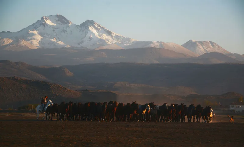
Kayseri
Kayseri is a major inland city in Central Anatolia, set on a plain at the foot of Mount Erciyes, and known for its Seljuk architecture, its manufacturing economy and a food culture built on pastırma and mantı.
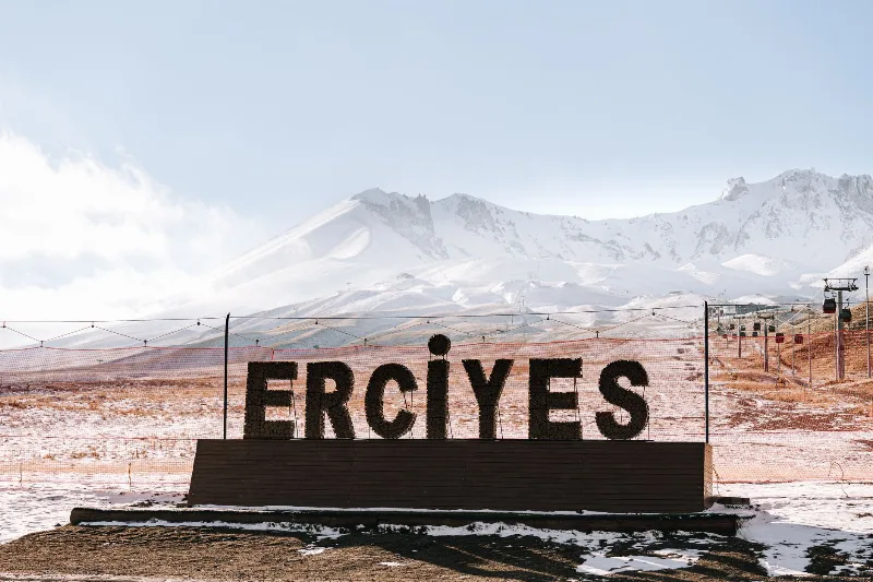
Mount Erciyes
Mount Erciyes is a dormant stratovolcano in Kayseri Province and the highest peak in Central Anatolia, rising sharply from the surrounding plain to a snow-covered summit at 3,917 metres.
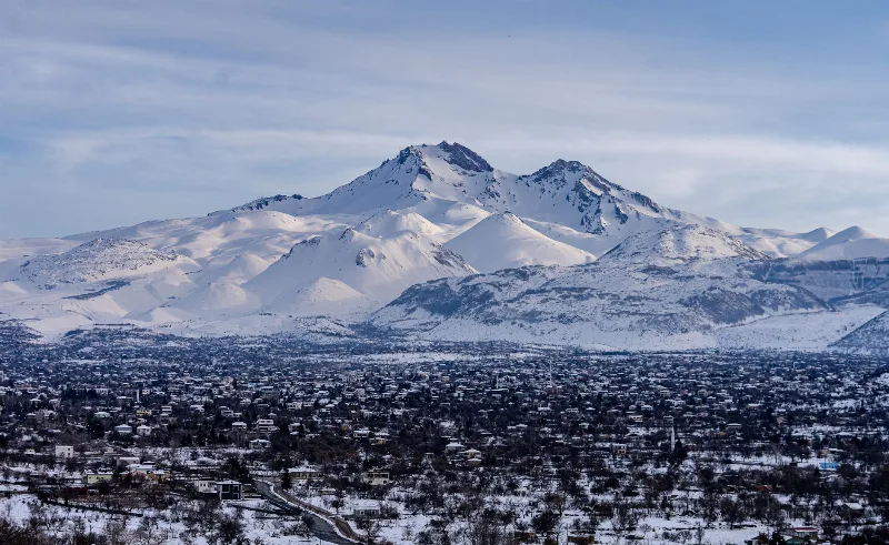
Mount Erciyes
Mount Erciyes is a dormant 3,917-metre stratovolcano rising above the Kayseri plain in Central Anatolia, known for its ski resort, summer trekking routes and its role as a landmark of Turkish volcanism.
Kayseri and the Art of Turkish Pastry Making
In the Anatolian city of Kayseri, thin sheets of dough are rolled, filled and layered into pastries that anchor everyday meals and festive tables alike.
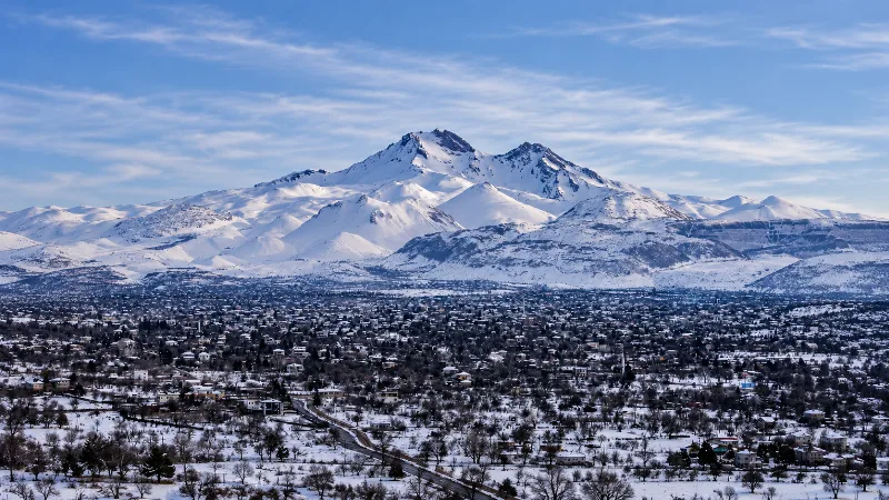
Snow Season in Erciyes, Kayseri
Erciyes, the dormant volcano rising south of Kayseri, carries a reliable snow cover from roughly December into March, transforming its bare upper flanks into one of Central Anatolia's main winter playgrounds. The exact start and end of that cover shifts each year with snowfall and temperature.

Central Anatolia Region
Central Anatolia is the historic heartland of Türkiye, known for its wide plains, extraordinary rock formations, ancient civilizations and traditional towns. From the fairy chimneys of Cappadocia to the cultural landmarks of Ankara and Konya, the region reveals the rich history and natural beauty of inner Anatolia.