
4-Day North Aegean Coast Route
A four-day linear route along the North Aegean coast from Assos to İzmir, with stops at Ayvalık, Cunda, Dikili, Çandarlı, Bergama and Foça. The itinerary is designed for a realistic coastal and inland road trip by car.
This four-day North Aegean coast route begins at Assos, also known as Behramkale, in Çanakkale province, and ends in İzmir. It follows the Aegean shoreline south through Ayvalık, Cunda Island, Dikili and Çandarlı, then turns inland to Bergama before returning to the coast at Foça and finishing in İzmir. The journey is linear and is best done by car, with short walks at archaeological sites and in coastal towns. It is designed for travellers who want one coherent regional road trip rather than a list of unconnected stops.
Day 1: Assos, Behramkale and the Edremit Gulf to Ayvalık
Begin in Assos, where the ancient city sits on a rocky hill above the sea. The Temple of Athena, the theatre, the agora and the old city walls are among the remains that explain why this was an important coastal settlement. The village of Behramkale, directly above the ruins, has stone houses and narrow lanes that are worth a slow walk before you continue. Assos belongs to the historic places of the North Aegean, and its setting makes it a natural first stop.
From Assos, follow the coast south along the Edremit Gulf. The road passes Küçükkuyu, Altınoluk, Akçay and Edremit, with the slopes of Kaz Dağı rising inland. These are seaside towns rather than major sights, but they show how the gulf is used in summer and give the route a relaxed coastal rhythm. Olive groves and pine woods line much of the way. You do not need to stop everywhere; choose one or two places for a break and keep moving toward Ayvalık.
Arrive in Ayvalık by late afternoon or evening. The town is known for its stone houses, narrow streets and olive oil tradition. It is a good place to overnight because the next day begins with Ayvalık and Cunda before continuing south. The day is geographically simple: one continuous coastal drive from Assos to Ayvalık, with no backtracking and no inland detour yet.
Day 2: Ayvalık, Cunda and the Coast to Dikili and Çandarlı
Spend the morning in Ayvalık. The historic centre, with its churches, old houses and waterfront, is a good introduction to the town's Aegean character. Then cross the causeway to Cunda, also called Alibey Island. Cunda is close enough to feel like part of Ayvalık, but it has a slower village atmosphere, with stone buildings, windmills and views back toward the mainland. Walking here is easy, and the island fits naturally into a coastal day.
After Cunda, return to the mainland and continue south along the coast. The route passes through Dikili, a coastal district with a long seafront and a backdrop of hills. Further south, Çandarlı is a smaller stop with a harbour and a castle that overlooks the bay. The castle is a visible reminder of the region's layered history. Both places belong to the beaches and bays side of the North Aegean, and they break up the drive between Ayvalık and Bergama.
Overnight in Dikili or Çandarlı. This keeps the next day's inland leg to Bergama short and logical. The progression is still southward along the coast, but the route is now preparing to turn inland toward the Bakırçay plain and the Pergamon landscape.
Day 3: Bergama, Pergamon and the Road to Foça
From Dikili or Çandarlı, head inland to Bergama. The modern town is built around the ancient city of Pergamon, one of the most important archaeological landscapes in western Türkiye. The Acropolis sits on a steep hill above the town, with the theatre, temple foundations and terraces that make the site's position clear. The Asklepion, the ancient healing centre, is lower down and separate from the Acropolis. The Red Basilica, a massive brick structure in the town centre, and the Bergama Museum help fill out the picture. Expect walking and some uphill sections at the Acropolis.
After Bergama, continue south and west toward the coast. The road passes through the Bakırçay plain and then toward Aliağa before reaching Foça. Foça is a coastal town with Ottoman houses, a small harbour and ancient Phocaea nearby. It is a quieter end to the day than İzmir would be, and it keeps the route on the coast before the final urban stage. The day mixes archaeology, inland travel and a return to the sea, which is why Bergama and Foça work well together in this order.
Day 4: Foça to İzmir
Start the day in Foça. The old town, the harbour and the surrounding coastline are easy to explore on foot. If you want more history, the remains of Phocaea and the town's maritime past add context before you leave. Foça is also a good place to notice the regional produce of the North Aegean, especially olive oil and seafood, without turning the day into a food tour.
Then continue south to İzmir. The route becomes more urban as you approach the city. İzmir is a large metropolitan area, and the final part of the journey is best treated as a city arrival rather than a scenic coastal drive. Once in İzmir, the historic core around Konak Square, the Kemeraltı bazaar and the Kordon waterfront give a clear sense of the city's scale and seaside character. The route ends here, after four days of moving from the northern Aegean coast through olive-growing towns, ancient sites and smaller harbours to Türkiye's third-largest city.
Travel season, terrain and transport notes
Spring and autumn are generally the most comfortable seasons for this route. Summer can be very hot, especially at Bergama and other inland archaeological sites, while winter is milder on the coast but can be wet. A car gives the most flexibility because the itinerary combines coastal roads, an inland section and a final city arrival. Public transport exists between the main towns, but it would make the sequence slower and less practical for a four-day trip.
The route is linear, not circular. It moves from north to south, with one main inland detour to Bergama. The terrain shifts from the steep hill of Assos and the Edremit Gulf coast to the olive-covered hills around Ayvalık, then to the broad Bakırçay plain and the acropolis of Pergamon, and finally to the urban coastline of İzmir. Walking is required at Assos, Pergamon and some coastal towns, but most of the journey is done by road. Travellers should expect a moderate amount of driving each day rather than long motorway stages.
For deeper information on individual stops, the route connects naturally with TürkiyeKart sections such as Historic Places for Assos, Bergama and Foça; Cities & Districts for Ayvalık and İzmir; Beaches & Bays for Dikili and Çandarlı; Villages & Small Towns for Behramkale and Cunda; Nature for Kaz Dağı; and Regional Produce for the olive oil culture of the Ayvalık area. The route article explains how these places fit into one journey, while the destination pages can provide the detailed background for each stop.
Remarkable Places
See all places →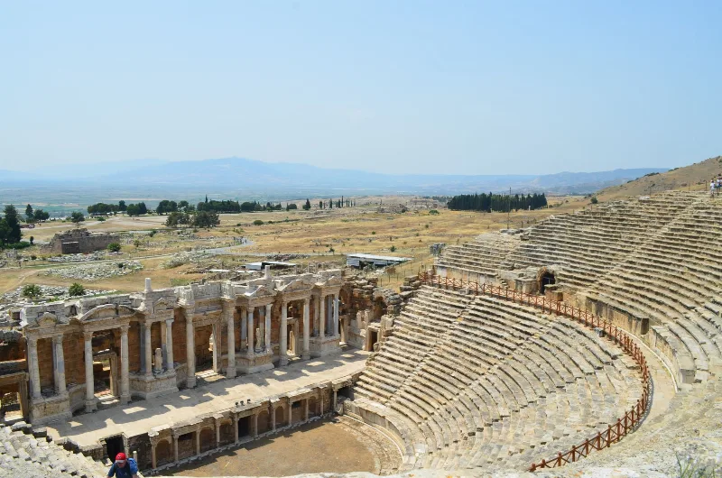
Letoon
Letoon is a Lycian sanctuary near Xanthos in Muğla Province, dedicated to Leto, Artemis and Apollo. Its three temples, theatre and trilingual inscription make it one of southwestern Turkey’s most significant archaeological sites.
Explore →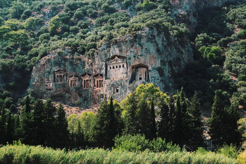
Kaunos
Kaunos is an ancient Carian city on the Dalyan River in Muğla Province, known for its temple-style rock-cut tombs and the extensive ruins of a harbour that silted up centuries ago.
Explore →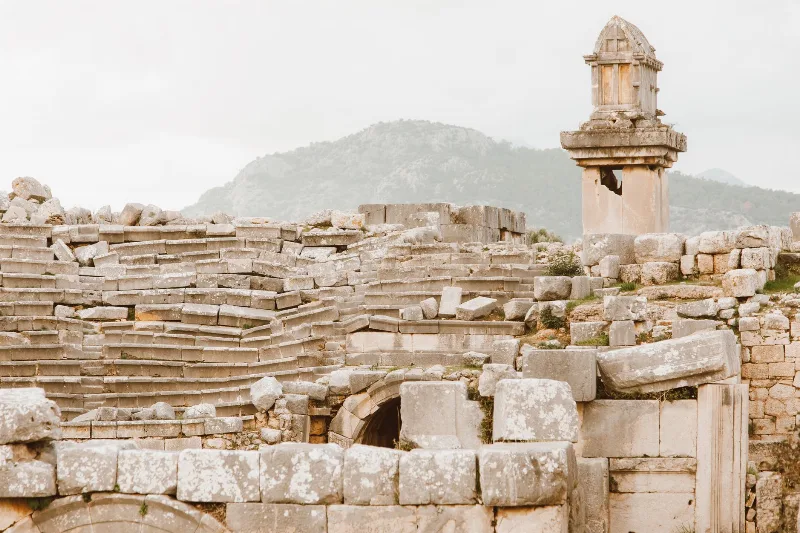
Xanthos
Xanthos is an ancient Lycian city in Antalya Province and a UNESCO World Heritage Site, known for its Lycian tombs, Roman theatre and role as a leading city of Lycia.
Explore →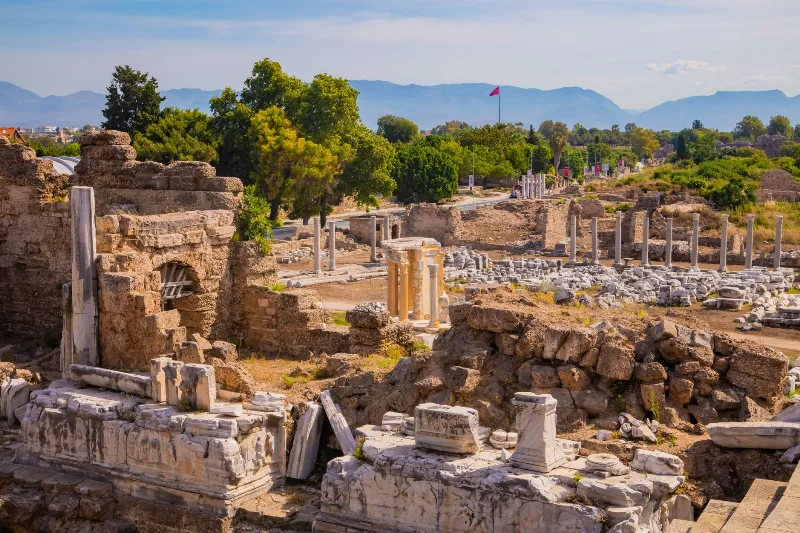
Phaselis
Phaselis is a Rhodian-founded port city on the eastern Lycian coast, where paved streets, agoras, baths and a small theatre stand among pines between three sheltered bays.
Explore →Related content
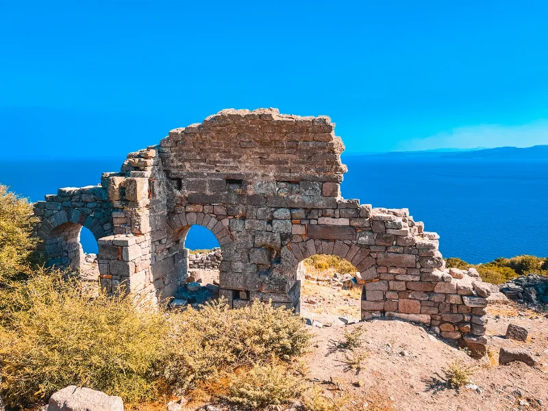
Assos
Assos is an ancient city and hilltop village in Çanakkale province, Türkiye, known for its Temple of Athena and for the years the philosopher Aristotle spent here. The modern settlement, Behramkale, sits above the ruins and an old harbour on the Aegean coast facing Lesbos.
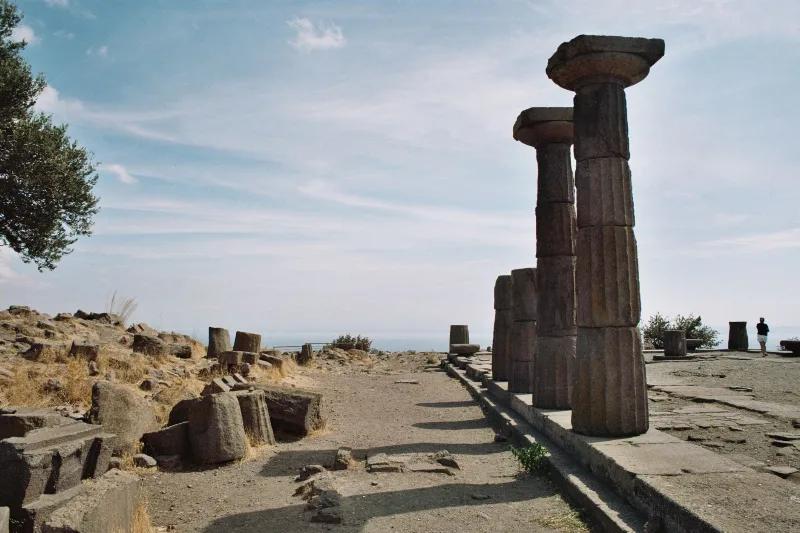
Assos
The ancient Greek city of Assos in Çanakkale, Türkiye, is defined by its sixth-century BC Temple of Athena, kilometres of surviving walls and a small Aegean harbour. Here is how the site is arranged and what a visit involves.
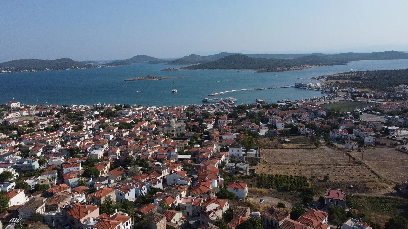
Ayvalık
Ayvalık is a coastal district of Balıkesir Province in western Türkiye, known for its olive oil, its Greek-influenced old town and the offshore island of Cunda.
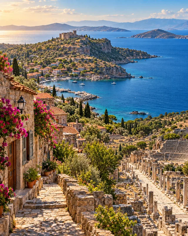
7-Day North Aegean to Ephesus Route
A seven-day southbound route through Troy, Assos, Bozcaada, Ayvalık, Bergama, İzmir and Ephesus, combining archaeology, coastal towns and Aegean culture.
3-Day Assos and Troy Route
A three-day route through Turkey's Troad region, starting in Çanakkale and finishing at the clifftop village and ancient harbour of Assos, with Troy and the lesser-known classical ruins in between.
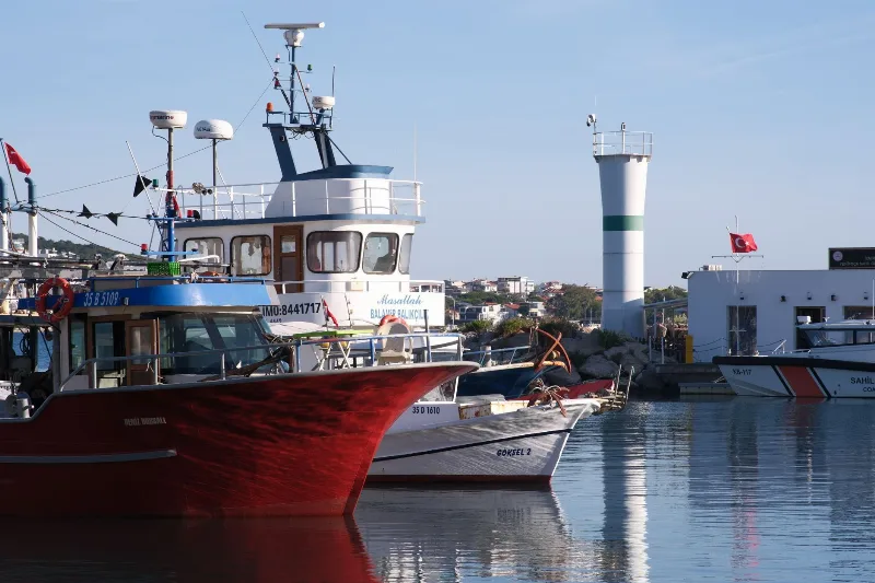
The Traditional Fishing Villages of the Aegean
The Aegean coast of Türkiye is lined with small fishing villages where wooden boats, olive groves and seafood shape a quiet maritime way of life.