
Phaselis
Phaselis is a Rhodian-founded port city on the eastern Lycian coast, where paved streets, agoras, baths and a small theatre stand among pines between three sheltered bays.
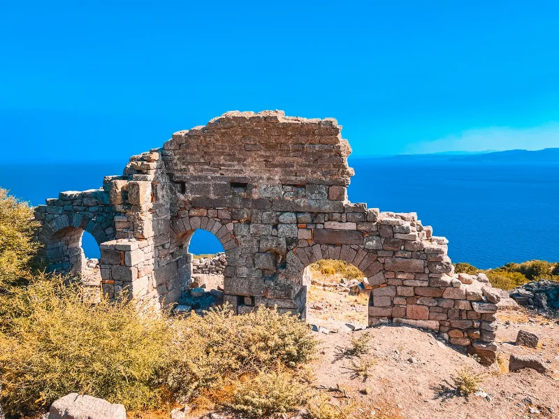
Phaselis is an ancient port city on the eastern edge of Lycia, in Antalya Province, about 16 kilometres south of Kemer and roughly 50 kilometres from Antalya itself. It occupies a low wooded peninsula joined to the mainland by a narrow neck of land, with a bay on either side and a third small harbour basin cut into the isthmus. Behind it the ground climbs into the pine forests of the Beydağları range beneath Mount Tahtalı. What distinguishes Phaselis from most archaeological sites in Türkiye is that the ruins have not been buried under a modern village: paved streets, agoras, bath buildings, a theatre and long stretches of aqueduct stand among trees and at the water's edge, so the ancient street plan is still legible on the ground.
Where the city sits and why the site was chosen
The peninsula lies at the point where the Lycian coast turns east towards the Gulf of Antalya, and ancient writers placed the city on the frontier between Lycia and Pamphylia. That position explains its long life. A ship travelling between the Aegean and the eastern Mediterranean could shelter here, and the bays gave protection from prevailing weather on both sides of the isthmus, so a vessel could be moved from one harbour to the other depending on wind and season. The city also controlled a stretch of coastal plain and the timber-rich slopes above it, and it sat at the end of routes leading inland into the mountains.
A Rhodian colony on the Lycian coast
Later ancient sources credit the foundation of Phaselis to colonists from Rhodes, traditionally dated to the late seventh century BC, and Greek institutions and inscriptions are well represented at the site. The city grew wealthy on maritime trade and on the export of timber from its territory, and it was prosperous enough to be mentioned in the context of the Lycian League, the federal organisation of Lycian cities. Its best-known political moment came in 188 BC, when the treaty concluding Rome's war with the Seleucid kingdom was settled at Phaselis. Alexander the Great passed through in 333 BC and was received by the city, which presented him with a golden crown; afterwards Phaselis changed hands several times among the Hellenistic powers before settling into the Roman order. It remained inhabited through late antiquity and the Byzantine period and was a bishopric, but it declined as a port and was eventually abandoned. Systematic excavation and restoration began only in the twentieth century.
Three harbours
The harbours are the reason the site makes sense as a city rather than simply a set of ruins. The northern bay is the larger and more open of the two main anchorages; the southern bay is smaller and more enclosed, and the harbour works there are the most visible. A third, much smaller basin sits near the neck of the peninsula and is usually described as a naval or refuge harbour. Looking at the water today, it is easy to underestimate the harbours: silting over the centuries has changed their depth and shape, and some ancient quay structures now lie in shallow water just off the shore.
What survives on the ground
The heart of the site is a broad paved main street running the length of the peninsula from the northern to the southern harbour, lined with the foundations of shops and colonnades. A monumental gateway at the southern end carries an inscription recording a dedication to the emperor Hadrian, and the street opens onto the commercial agora and the harbour front. Behind it stands one of the largest structures on the site, a Roman bath complex, with the characteristic sequence of cold, warm and hot rooms still readable in its walls and floors.
- The small Roman theatre, built into the slope above the southern harbour, with its seating and stage building partly standing.
- The commercial agora near the south harbour and a second, smaller agora further north.
- Roman baths with visible hypocaust systems and floor remains.
- An aqueduct that brought water from the hills, with arches standing in the wooded area behind the city.
- A nymphaeum, or monumental fountain, on the main street.
- Necropolises on the rising ground on the landward side, with sarcophagi and rock-cut tombs.
- Harbour walls, quays and moles at the southern bay, some partly submerged.
Inscriptions and statue bases are scattered through the site, and many of the standing monuments date from a major rebuilding in the Roman imperial period, when the city was refitted in stone and marble on a generous scale.
Landscape, trees and water
The setting is a large part of what makes Phaselis distinctive. The peninsula is covered with pine and, in places, with low Mediterranean scrub, so the ruins appear between trunks rather than in an open excavated field. The ground is flat along the isthmus and the main street but rises steeply on the landward side towards the necropolises and the theatre. The two main bays have beaches, the northern one longer and more exposed, the southern one smaller and calmer, and the water is clear enough that the remains of harbour structures are easy to pick out from the shore.
Getting there and what to expect on arrival
Phaselis is reached from the coastal road that runs south from Kemer through Çamyuva and Tekirova; the site entrance is directly off this road and is signposted. There is no railway, and public transport along the Kemer–Tekirova corridor is limited, so most visitors arrive by car or as part of a longer drive along the coast. Phaselis is a ticketed archaeological site with defined opening hours, both of which change through the year, so it is worth checking current times before setting out. Facilities on site are minimal: there is shade from the trees but no substantial covered areas in the open parts of the peninsula, and the nearest shops and services are in Kemer, Çamyuva and Tekirova. The site is part of the protected coastal landscape of the Beydağları area, and the entrance area and paths are maintained accordingly.
When to visit
Spring, from April to early June, and autumn, from September to October, are the most comfortable periods. In these months temperatures are moderate and the site can be walked without difficulty. July and August bring strong heat and high humidity on this coast, and because most of the peninsula has little shade, a visit in the middle of a summer day is demanding. Winter visits are quiet and the light is often clear, but rain can make the stone paving slippery and some paths muddy. Early morning is generally the best time of day in any season, both for temperature and because the site receives fewer visitors.
Walking and terrain
The main street and the area between the two harbours are level and easy to walk, over stone paving and compacted earth. Paths up to the theatre and the necropolises are steeper and uneven, and some sections are sandy or loose. There is no formal accessibility infrastructure, and visitors with limited mobility should plan on staying with the flat coastal part of the site. Sturdy shoes are useful, and swimming at either bay is possible but requires care where harbour remains lie just below the surface.
Places to combine with a visit
Phaselis fits naturally into a longer route along this stretch of coast. Kemer and the bays around Çamyuva and Tekirova are immediately to the north. Further south, the road continues to Olympos and the permanent flames of Yanartaş, and the Beydağları Coastal National Park protects the forested mountains above the site, with the cable car up Mount Tahtalı accessible from the Kemer side. Inland and to the west lie the other major Lycian sites, while Antalya to the north-east offers museums where finds from the region are displayed. Combining Phaselis with one or two of these makes sense, since the site itself takes a half day at an unhurried pace.
Related content
Antalya
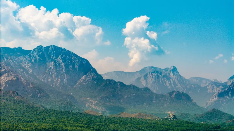
Antalya offers a unique blend of vibrant history and stunning natural beauty, making it a must-visit destination in Türkiye.
Kemer
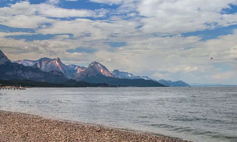
Kemer is a coastal district of Antalya Province on Türkiye's Mediterranean shore, known for its yacht marina, pebbly beaches and its position between the Beydağları mountains and ancient Lycian sites such as Phaselis.
Mount Tahtalı
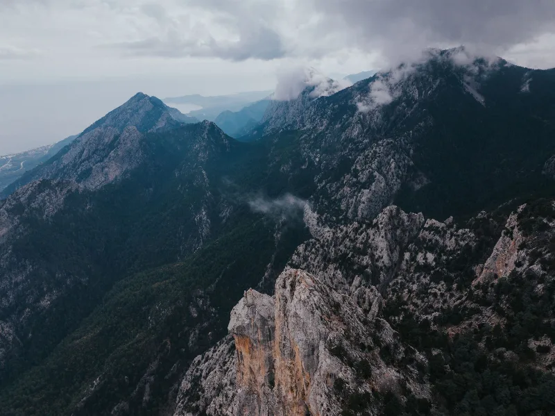
Mount Tahtalı is the summit that rises directly above the Gulf of Antalya, the highest point of the Beydağları massif's coastal edge. Its limestone slopes climb from pine forest to bare rock, giving the mountain a distinct profile above Kemer and the Lycian coast.
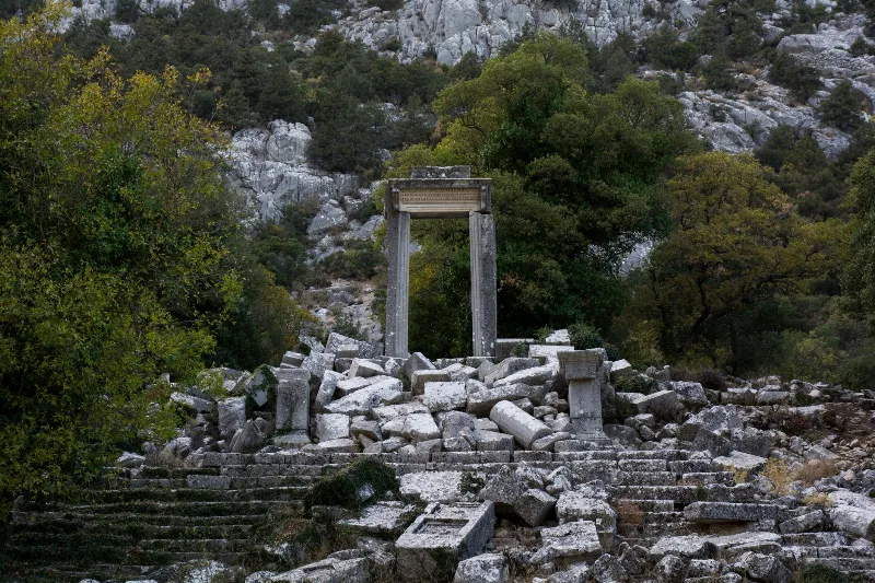
Antalya's Ancient Ruins
Antalya's ancient ruins trace Lycian, Pamphylian, Roman and Byzantine life across the Mediterranean coast and the Taurus foothills. Scattered theatres, colonnaded streets and rock-cut tombs reveal how successive peoples shaped this landscape.
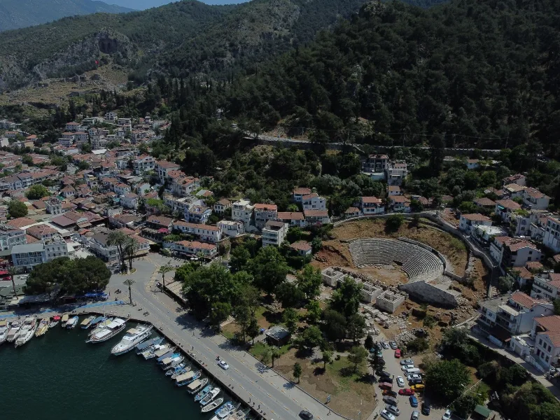
Phaselis
Phaselis is an ancient Greek and Roman harbour city on a low peninsula near Kemer in Antalya Province, known for its three harbours, a long paved main street and a triple-arched gate built in honour of the emperor Hadrian.
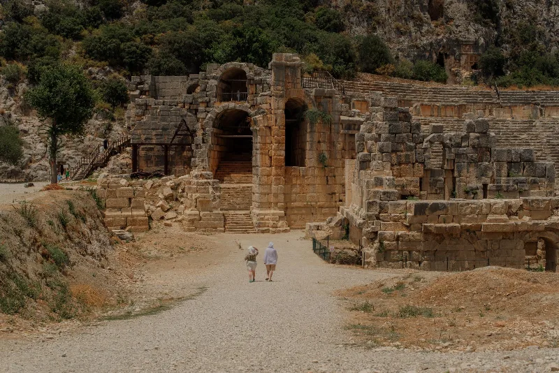
The Ancient City of Phaselis on the Lycian Coast
Phaselis is an ancient port city near Kemer in Antalya, where three harbours, a colonnaded main street and Roman-era ruins sit among pine trees at the water's edge.