
Kemer
Kemer is a coastal district of Antalya Province on Türkiye's Mediterranean shore, known for its yacht marina, pebbly beaches and its position between the Beydağları mountains and ancient Lycian sites such as Phaselis.
Kemer is a district and coastal town in Antalya Province, on the Mediterranean coast of southwestern Türkiye. It occupies a narrow strip of land between the sea and the steep, forested flanks of the Beydağları, the western section of the Taurus Mountains, southwest of the provincial capital Antalya. Unlike settlements that appeared only with late twentieth-century tourism, Kemer works as a genuine district centre: its permanent population is spread across the town itself and a series of coastal and inland villages, and tourism sits alongside that everyday life rather than replacing it.
Where Kemer Lies
The district runs along the Gulf of Antalya, from the flatter coastal ground near Beldibi in the northeast toward the more rugged shoreline around Tekirova in the southwest. Inland, the terrain climbs quickly into the Beydağları, whose ridges and peaks form a backdrop visible from almost every point on the coast. Much of this mountainous hinterland, together with sections of the shore, is protected within the Olympos Beydağları National Park. To the northeast the district borders the central districts of Antalya, to the west it meets Kumluca, and to the south and east it opens onto the Mediterranean. The result is a place squeezed between water and mountain, which gives it a compact, clearly defined character.
The Town and Its Urban Character
The centre of Kemer gathers around its yacht marina, a sheltered harbour that has shaped the town's identity and remains one of the most recognisable features of the district. Around the waterfront, the streets are laid out with the shops, cafés and services of a working district town, busier in summer and quieter outside the season. Green planting and palm-lined promenades are a deliberate part of the town's design, softening a setting that is otherwise dominated by rock, pine forest and sea. Kemer does not have the density of a large city; it reads instead as a medium-sized coastal district centre whose scale is suited to walking, with the built-up area spreading gently along the shore and up the lower slopes.
A Lycian Coast: Phaselis and Nearby Ancient Sites
This stretch of coastline belonged in antiquity to Lycia, and evidence of that past survives within the district itself. Phaselis, an ancient harbour city not far from Tekirova, sits on a small peninsula with the remains of its streets, harbour works and public buildings still visible among the pines and the water. It is one of the most directly accessible historic sites in the Kemer area. Beyond the district boundary to the west lie further Lycian remains, including the ruins of Olympos and the natural gas vents known as Yanartaş, which lie close to the adjoining Kumluca district. Together these places explain why the coast between Antalya and the western shore is often described in terms of its layers of Greek, Lycian and Roman history.
Mountains, Canyons and Inland Villages
Behind the beaches the land rises into the national park, where the massif of Tahtalı Dağı and its neighbours dominate the skyline. A cable car carries visitors up the mountain, and the views from the upper slopes take in the whole sweep of the gulf. Inland from the coast, the valley of Göynük is cut by a deep canyon, a popular spot for walking and cooling off in summer. Villages such as Ulupınar sit at the foot of the mountains where spring water feeds the streams, and Beycik and other highland settlements lie further up the slopes. These inland communities, together with the coastal villages of Beldibi, Göynük, Çamyuva and Tekirova, make Kemer a district of several distinct places rather than a single uniform resort.
Coastline and Beaches
The shoreline is largely pebbly rather than sandy, framed by rocky headlands, scattered coves and clear water, with the mountains often falling almost to the sea. The most developed stretch sits around the town and its marina, while the coast toward Tekirova remains greener and less built up. Because the district has several distinct beach areas, each with its own character, these are best explored individually rather than treated as a single destination.
Climate and When to Visit
Kemer has a Mediterranean climate, with hot, dry summers and mild winters. Sea temperatures peak from late spring through early autumn, which is also when the district is at its busiest. Spring and early autumn tend to offer warm weather with fewer visitors, and are generally the most comfortable periods for walking in the mountains or visiting the ancient sites. Winter is mild along the coast but can bring rain and cooler, wetter conditions in the higher ground, where the mountain roads can be affected.
Getting There and Around the District
Kemer sits on the main coastal route that runs southwest from Antalya, and the area is served by the province's international airport in Antalya. The district's settlements are strung out along this coastal corridor, which means travel between the town and places such as Beldibi, Çamyuva or Tekirova follows the shore, while routes into the national park and the inland villages turn inland and climb. Because the mountains limit how the district can expand, movement here is largely linear, east to west.
Kemer in the Wider Antalya Region
As one of Antalya Province's coastal districts, Kemer connects the urban centre of Antalya with the quieter western shore toward Kumluca, Adrasan and the Olympos valley. Its combination of a marina, Mediterranean beaches, protected mountain country and Lycian ruins gives it a role that is partly residential, partly touristic and firmly tied to the geography of the Gulf of Antalya. For anyone planning to explore the coast southwest of Antalya, Kemer is less a single stop than a base from which the surrounding coastline, mountains and historic sites can be understood together.
Discover Food in Türkiye
All food →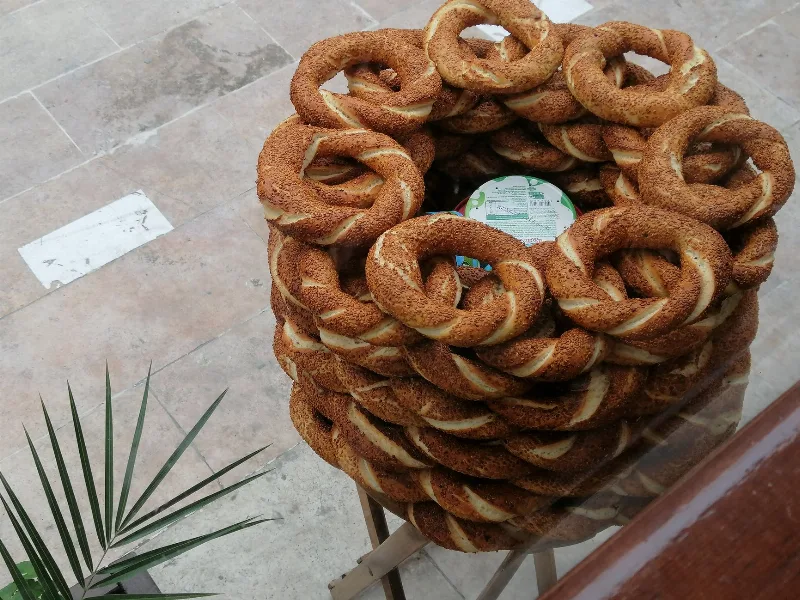
Simit
Simit is a ring-shaped Turkish bread covered in sesame seeds, strongly associated with Istanbul and sold as everyday street food. It is eaten fresh, most often with tea, and has a crisp crust around a chewy crumb.
Explore →
Bazlama
Bazlama is a soft, thick Turkish flatbread made from a leavened dough and cooked on a hot griddle. It is a staple of village baking across Anatolia, eaten warm with butter or used to wrap other foods.
Explore →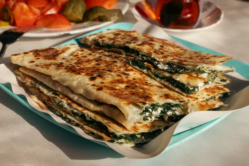
Gözleme
Gözleme is a thin, hand-rolled Anatolian flatbread folded around savory fillings such as cheese, spinach, or minced meat and cooked on a sac griddle. The article covers its regional variations, cooking method, texture, and traditional serving style.
Explore →Related content
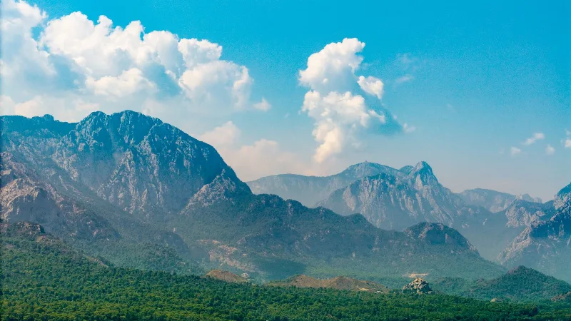
Antalya
Antalya offers a unique blend of vibrant history and stunning natural beauty, making it a must-visit destination in Türkiye.
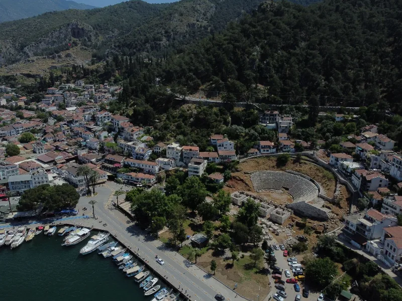
Phaselis
Phaselis is an ancient Greek and Roman harbour city on a low peninsula near Kemer in Antalya Province, known for its three harbours, a long paved main street and a triple-arched gate built in honour of the emperor Hadrian.
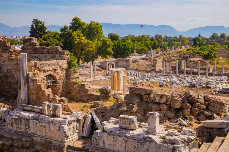
Phaselis
Phaselis is a Rhodian-founded port city on the eastern Lycian coast, where paved streets, agoras, baths and a small theatre stand among pines between three sheltered bays.
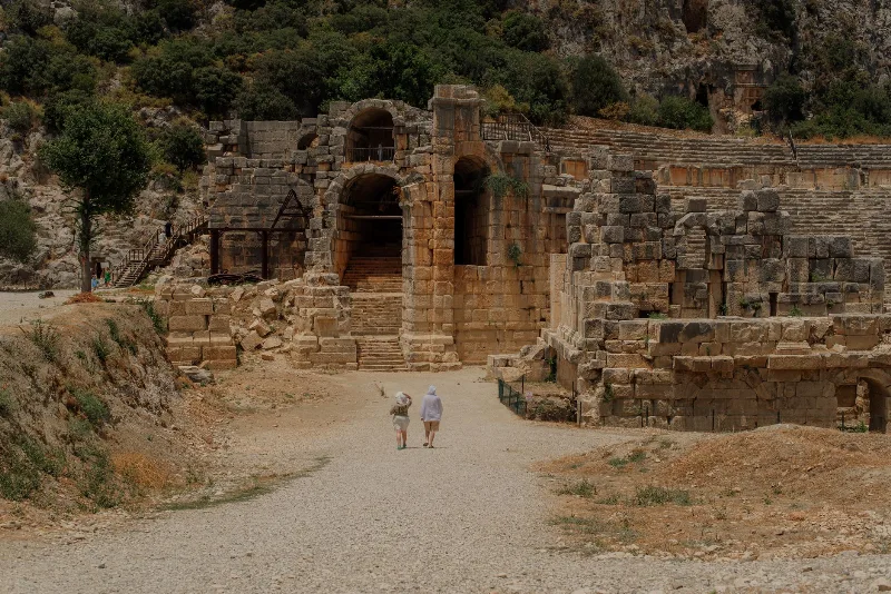
The Ancient City of Phaselis on the Lycian Coast
Phaselis is an ancient port city near Kemer in Antalya, where three harbours, a colonnaded main street and Roman-era ruins sit among pine trees at the water's edge.
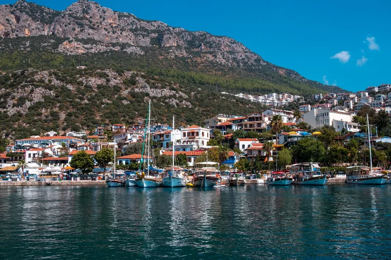
5-Day Antalya to Fethiye Coastal Route
A five-day driving itinerary along Turkey's Mediterranean shore, linking Antalya, Phaselis, Olympos, Demre, Kekova, Kaş, Kalkan, Patara and Fethiye. The route is linear, coastal for most of its length, with short inland detours to Lycian ruins.
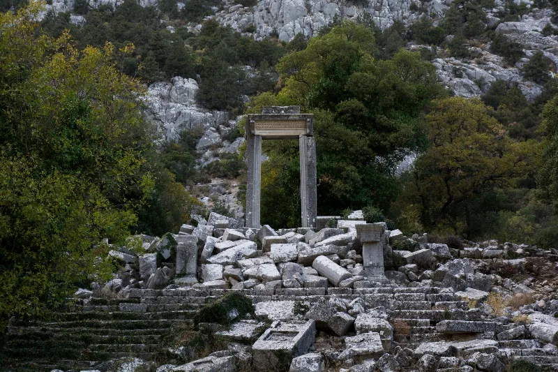
Antalya's Ancient Ruins
Antalya's ancient ruins trace Lycian, Pamphylian, Roman and Byzantine life across the Mediterranean coast and the Taurus foothills. Scattered theatres, colonnaded streets and rock-cut tombs reveal how successive peoples shaped this landscape.