
Mount Tahtalı
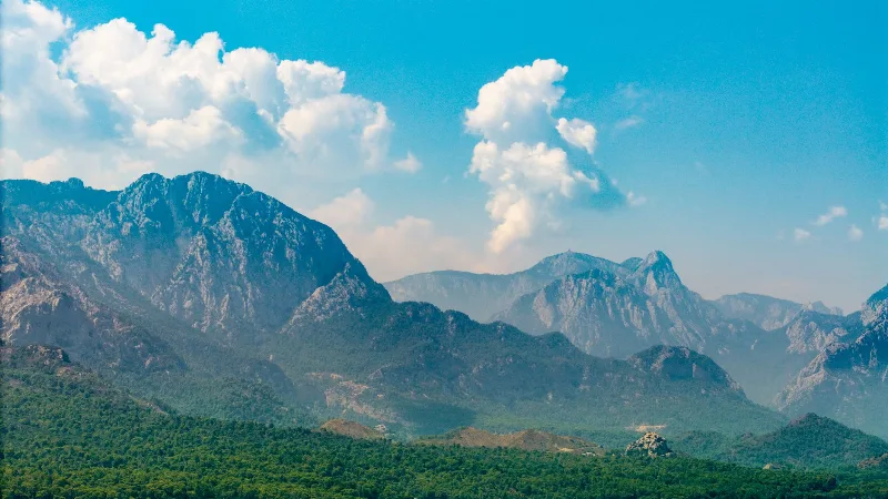
Mount Tahtalı is the summit that rises directly above the Gulf of Antalya, the highest point of the Beydağları massif's coastal edge. Its limestone slopes climb from pine forest to bare rock, giving the mountain a distinct profile above Kemer and the Lycian coast.
Mount Tahtalı is a mountain in Antalya Province, southwestern Türkiye, standing on the coastal flank of the Beydağları range. Also written Tahtalı Dağı, it rises behind the towns of Kemer and Tekirova and reaches roughly 2,366 metres at its summit. The mountain is the dominant peak of the immediate coastline: from its upper slopes the land drops steeply to the Mediterranean, and the Gulf of Antalya and the long line of the Lycian shore open out to the south and west. It is a limestone massif rather than an isolated cone, and it forms part of the wider Beydağları, a karstic mountain system whose higher summits lie further inland.
Where Mount Tahtalı Stands
The mountain belongs to the Bey Mountains (Beydağları), which run roughly north to south between the Antalya plain and the coastal strip around Kemer. Tahtalı sits at the seaward end of this range, so its eastern and southern flanks face the water while its inland side connects to higher, drier ridges. Because the summit is close to the coast, it rises almost the full height of the range within a short horizontal distance from the shoreline. This position is what defines the mountain: it is a coastal peak, not an interior one, and the sea is visible from much of its upper slope.
The Shape and Geology of the Massif
The Beydağları are built mainly of limestone, and Mount Tahtalı shows the typical features of that rock. Surfaces are hard and pale, water drains quickly through fissures instead of pooling, and the upper mountain is largely bare stone with thin soil in cracks and hollows. The summit region is broad and rocky rather than a sharp spire, with steep flanks falling away toward the coast. Elevation on the mountain climbs from near sea level at the foot of the slopes to the summit, so the change in terrain between the base and the top is considerable across a relatively short distance.
Vegetation and Altitude Zones
The lower and middle slopes of Mount Tahtalı carry forest typical of the eastern Mediterranean, with pines and other conifers dominating. As the mountain rises, tree cover thins and gives way to scrub and then to open rock. Higher up, stands of cedar and juniper appear on the drier inland-facing slopes, reflecting the limestone ground and the sharp seasonal contrast between wet winters and dry summers. The exposed summit area is essentially rock and scattered low vegetation, with little shelter. This layering of forest, scrub and bare stone within a single mountain is one of the features that distinguishes Tahtalı from lower coastal hills nearby.
Seasons and Mountain Weather
Conditions on Mount Tahtalı change markedly through the year. Summers are hot and dry at lower elevations and considerably cooler higher up, and the mountain is often clear on summer mornings. Winter brings rain to the coast and snow to the upper slopes; snow can lie on the summit and upper flanks into spring, contrasting with the green and warm conditions at the base. Spring and autumn are transitional, with unstable weather and sudden cloud on the higher ground. Because the summit stands above the coast, cloud and wind can differ sharply between the shoreline and the top on the same day, and temperatures fall noticeably with height.
Terrain and How the Area Is Reached
The mountain is approached from the coastal towns along the Antalya–Kemer–Tekirova corridor, where the main road runs between the sea and the foot of the Beydağları. The base of the massif is therefore easy to reach by road from Antalya, while the upper mountain is remote and steep. A major change in how the summit is accessed came with an aerial cable car line running from the lower slopes near the coast up toward the summit area, which made the high ground reachable without a long ascent on foot. Away from that line, the mountain's slopes are rough limestone terrain, and movement off the prepared areas is demanding. Visitors should treat the upper mountain as exposed high ground: steep, rocky, subject to quick weather shifts and with limited natural shelter.
What Can Be Seen From the Mountain
The most distinctive experience of Mount Tahtalı is the view from its upper slopes. To the south and west lies the Mediterranean, with the Gulf of Antalya, the coastal plain and the Lycian shoreline spread out below. To the north and east, the ridges and summits of the Beydağları continue inland, showing the scale of the range behind the coast. On clear days the coastline, the surrounding forested slopes and the contrast between sea and limestone are the main features of the panorama. In winter and spring, snow on the summit adds a second kind of landscape that is not visible in summer.
Surrounding Natural Areas
Mount Tahtalı forms part of the broader Olympos Beydağları coastal environment, which includes forested slopes, ancient valleys and long stretches of shore near Kemer, Tekirova and Çıralı. Nearby natural places include the Olympos valley with its perennial stream, the rocky slopes around Yanartaş where natural gas seeps burn at the surface, and the wooded canyon country inland of the coast. Together these areas share the same limestone geology and Mediterranean climate as Mount Tahtalı, but each has its own distinct landform. Seeing the mountain in relation to these neighbouring places makes clear that it is the highest and most exposed element of a single, connected coastal range.
Practical Points to Keep in Mind
Anyone visiting the upper mountain should plan for cooler, windier and less predictable conditions than at the coast. Footwear and clothing suited to rocky, uneven ground matter, and the thin air and exposure of the summit area should be taken seriously. Because the mountain rises directly from the sea, weather can close in quickly, and visibility that is good at the base may not hold at the top. Water and supplies are limited at high elevation, and the exposed rock offers little shade or cover. The mountain is best understood as a real, high limestone peak with a strong seasonal character, not simply a coastal viewpoint.
Beaches & bays
See the coast →
Related content
Antalya
Antalya offers a unique blend of vibrant history and stunning natural beauty, making it a must-visit destination in Türkiye.
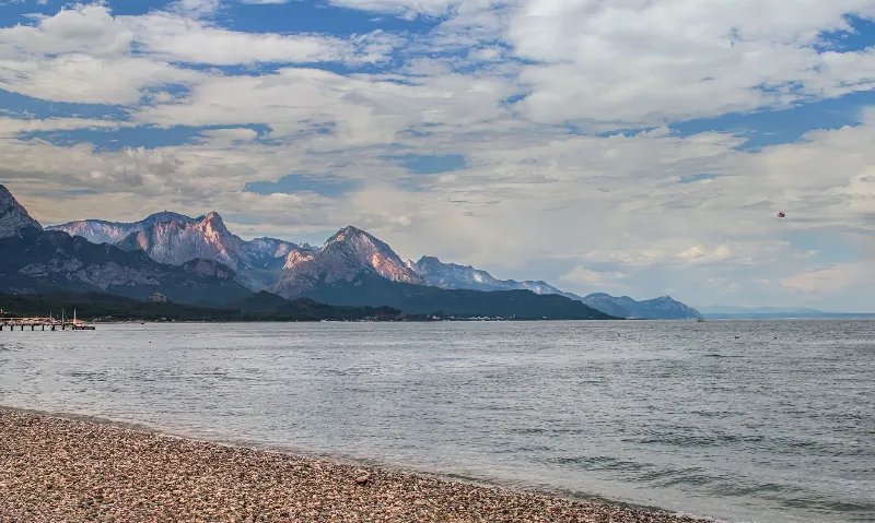
Kemer
Kemer is a coastal district of Antalya Province on Türkiye's Mediterranean shore, known for its yacht marina, pebbly beaches and its position between the Beydağları mountains and ancient Lycian sites such as Phaselis.
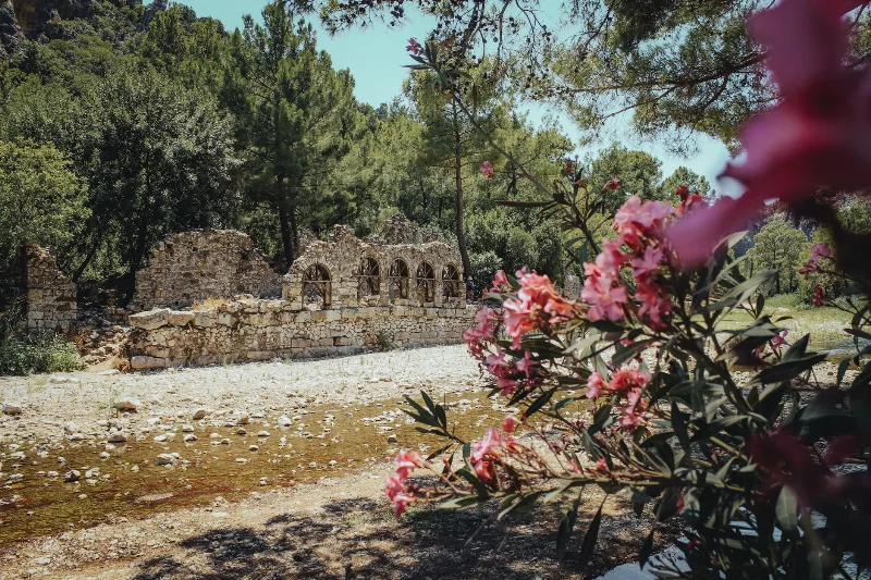
Olympos
Olympos is an ancient Lycian city in Antalya Province, Türkiye, whose ruins stand on both banks of a wooded river valley. Once a member of the Lycian League and later a Roman harbour town, it is best known for its theatre, baths and Lycian sarcophagi, and for the naturally burning Chimaera flames on the mountain above.
Olympos
Olympos is a Lycian and Roman-era city on the Antalya coast, where overgrown ruins share a river valley with a Mediterranean beach and the perpetual flames of Yanartaş burn on the slope above.
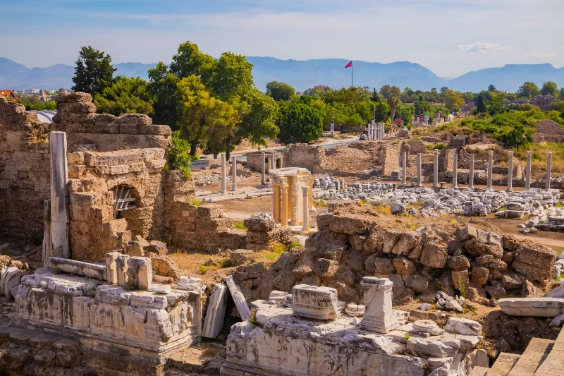
Phaselis
Phaselis is a Rhodian-founded port city on the eastern Lycian coast, where paved streets, agoras, baths and a small theatre stand among pines between three sheltered bays.
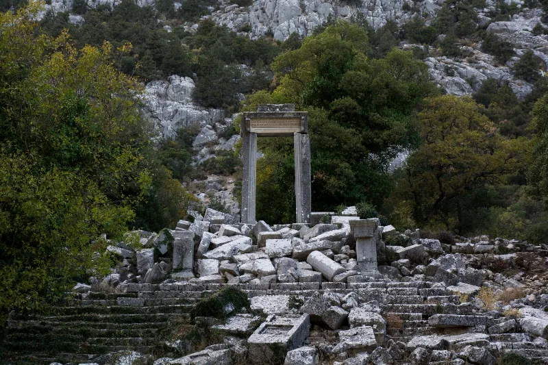
Antalya's Ancient Ruins
Antalya's ancient ruins trace Lycian, Pamphylian, Roman and Byzantine life across the Mediterranean coast and the Taurus foothills. Scattered theatres, colonnaded streets and rock-cut tombs reveal how successive peoples shaped this landscape.