
2-Day Edirne and Kırklareli Route
A two-day Thrace journey that starts among the Ottoman monuments of Edirne and continues north into Kırklareli, where cave systems and floodplain forests sit beneath the Yıldız Mountains.
This route begins in Edirne, the former Ottoman capital on the Meriç river close to the Greek and Bulgarian borders, and ends in the Kırklareli hills near the Black Sea coast. It covers two days and two provinces: the historic urban core of Edirne on the first day, then the wooded north of Kırklareli on the second, finishing around İğneada or back in Kırklareli town depending on how much walking you want. The journey is linear rather than circular, driven throughout, and best suited to spring and early autumn, when the Thracian plains are green and the forest tracks are dry. It is a compact route: the two provincial capitals are close enough that you are never far from your starting point, yet the landscapes shift from wide sunflower plains to dense mountain woodland within a single afternoon.
Day 1: Edirne and the Ottoman Heart of Thrace
The day starts in central Edirne, and almost everything worth seeing is within walking distance of the Selimiye Mosque. Begin there: Mimar Sinan's late-sixteenth-century masterpiece sits on a raised platform and dominates the skyline from every approach into the city. The interior is the main event, but the surrounding courtyard and the old market streets behind it set the tone for the rest of the morning.
From the Selimiye, walk west into the historic spine of the city. The Eski Cami and the Üç Şerefeli Mosque stand close together, and the Bedesten and surrounding covered streets between them form one of the most coherent Ottoman commercial quarters in the country. Continue toward the Beyazıt complex beside the Tunca river, where the mosque, hospital and bridge were built as a single charitable unit. The rivers are part of the route's character here: the Tunca and the Meriç wrap around the city, and the bridges crossing them — including the long, many-arched Uzunköprü road bridge further out — are as much part of Edirne's identity as its domes.
Spend the afternoon either on the riverbanks or on the city's western edge, where the Kırkpınar oil-wrestling grounds and the open meadows along the Tunca offer an easy walk away from traffic. Edirne is also the place to notice the regional kitchen: fried liver, almond sweets and white cheese are genuinely local rather than tourist products, and a late lunch is a reasonable pause in the day.
Geography matters here. Edirne faces west and south toward the rivers; the road to Kırklareli runs east and then north, so the sensible plan is to sleep in Edirne and start the drive the next morning rather than pushing on after a full day on foot.
Day 2: Kırklareli, the Caves and the Yıldız Mountains
Leave Edirne heading east across the Thracian plain, then turn north toward Kırklareli. The drive is straightforward and the landscape changes quickly: flat farmland gives way to low hills and then to the wooded slopes of the Yıldız (Strandzha) Mountains, which form the backbone of this part of the province.
Kırklareli town itself is a good first stop. The compact centre has a relaxed, provincial feel, with a pedestrianised core, old neighbourhood streets and a small archaeological and ethnographic museum that explains the region's Thracian, Roman and Ottoman layers. It is not a place that demands hours, but it gives context to everything you see afterwards.
From the town, continue north toward Demirköy. This is the gateway to the Dupnisa Cave system, one of the most substantial caves in the region, reached by a short walk up through forest. The cave has an upper and a lower section with dramatically different atmospheres, and the surroundings are quiet broadleaf woodland rather than the open plains you crossed in the morning. Access is managed and the cave is not open on the same terms all year, so confirm locally before making it the centrepiece of your day.
The final stretch continues north toward İğneada, where the Yıldız Mountains meet the Black Sea. The long beaches are the obvious draw, but the more distinctive feature is the İğneada floodplain forest just inland — a wetland of lakes, alder and ash woodland that feels unlike anywhere else in Thrace. Walking trails and the shoreline can be combined in a couple of hours, and this is the natural ending point of the route: sea on one side, forest on the other, mountains behind you.
If you prefer a shorter return, end the day back in Kırklareli; if you are continuing, the coastal road west toward Kıyıköy offers another way to close the loop through the same forested geography.
Practical Route Notes
This is a driving route with significant walking inside Edirne and at the cave and forest stops. No ferry is involved. The first day is entirely urban and best done on foot once you have parked; the second day is a chain of short drives between Kırklareli, Demirköy and İğneada, with the longest single leg being the run up to the coast.
Spring and early autumn are the most comfortable seasons. Midsummer is hot on the plain but pleasant in the mountains; winter brings cold, wet conditions and possible snow on the higher forest roads, which can affect access to the cave and the northern villages. Expect a linear route rather than a loop, and plan fuel and supplies in the towns, since services thin out considerably once you leave Kırklareli behind.
Remarkable Places
See all places →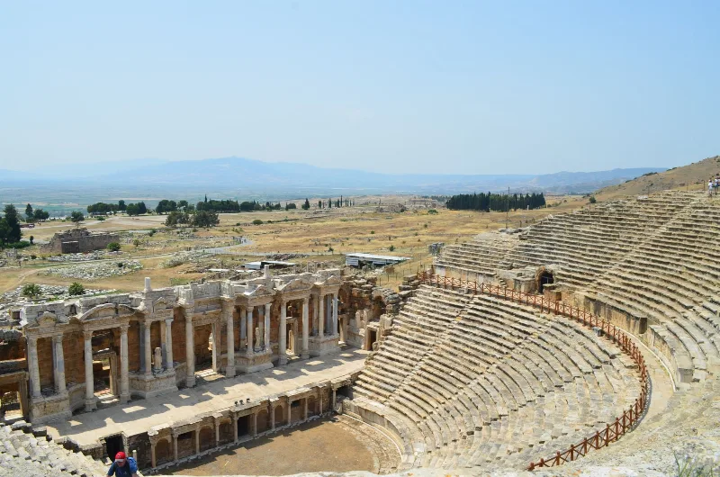
Letoon
Letoon is a Lycian sanctuary near Xanthos in Muğla Province, dedicated to Leto, Artemis and Apollo. Its three temples, theatre and trilingual inscription make it one of southwestern Turkey’s most significant archaeological sites.
Explore →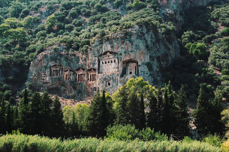
Kaunos
Kaunos is an ancient Carian city on the Dalyan River in Muğla Province, known for its temple-style rock-cut tombs and the extensive ruins of a harbour that silted up centuries ago.
Explore →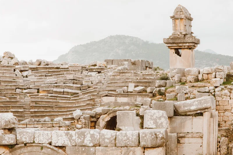
Xanthos
Xanthos is an ancient Lycian city in Antalya Province and a UNESCO World Heritage Site, known for its Lycian tombs, Roman theatre and role as a leading city of Lycia.
Explore →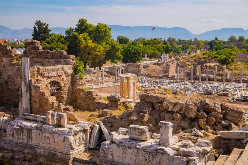
Phaselis
Phaselis is a Rhodian-founded port city on the eastern Lycian coast, where paved streets, agoras, baths and a small theatre stand among pines between three sheltered bays.
Explore →Related content
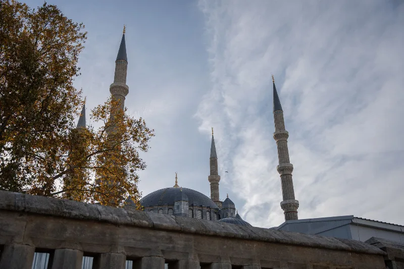
Edirne
Edirne is a northwestern Turkish city near the Greek and Bulgarian borders, renowned for its Ottoman heritage, particularly the Selimiye Mosque, and for hosting the annual Kırkpınar oil wrestling festival.
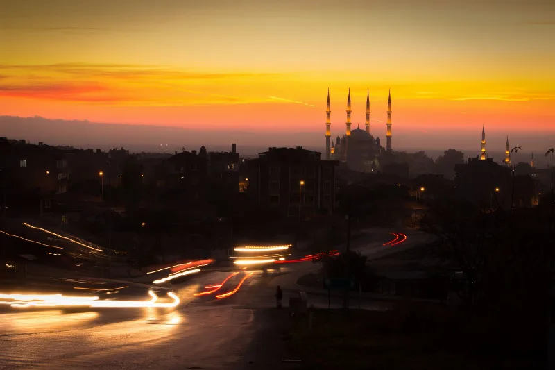
3-Day Thrace Route: Edirne, Kırklareli and Tekirdağ
A practical three-day west-to-east, then south, driving route across Turkish Thrace, linking Edirne's Ottoman monuments with Kırklareli's inland towns and Tekirdağ's Marmara vineyards and coast.

Trakya Baldo Rice
Baldo rice is a large-grain variety grown on the flood plains of Thrace in northwestern Türkiye, where river-fed paddies around Edirne produce grain prized for pilaf. Its long, glassy kernels and the region's water-rich alluvial soils are closely linked.
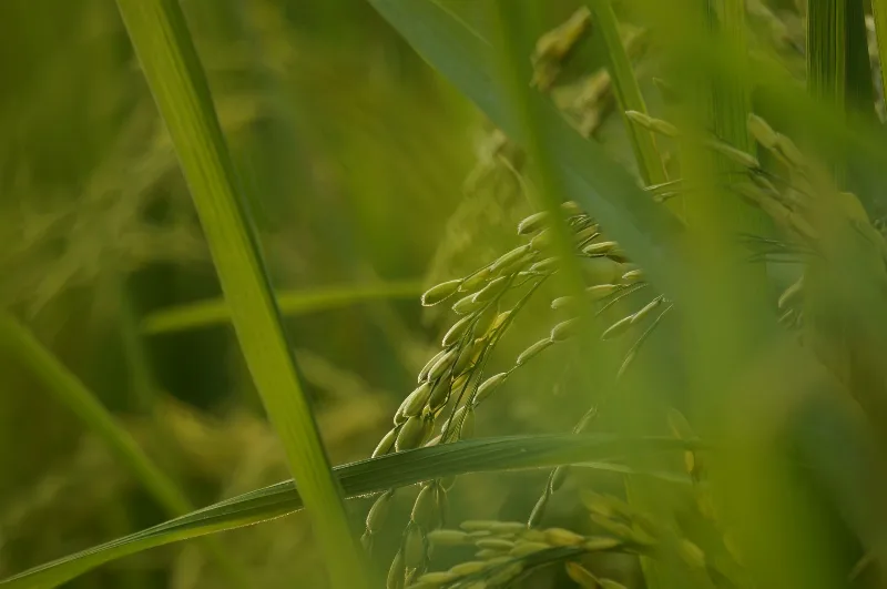
İpsala Rice
Grown on the river-fed alluvial plain around İpsala in Edirne province, İpsala rice reflects the landscape of Thrace: flooded paddies, warm summers and a long local milling tradition.
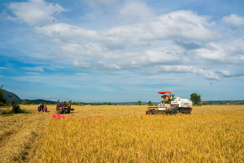
Rice Harvest in Edirne
Each autumn the flat rice plains around İpsala in Edirne Province turn from flooded green paddies into golden fields as Turkey's largest rice-growing area moves into harvest. The timing of this shift depends heavily on summer heat and early-autumn rainfall.
Lake Gala Birdwatching in Edirne
Lake Gala is a shallow, reed-fringed wetland in the Meriç delta near Edirne, protected as a national park and valued by birdwatchers for its migratory waterbirds.