
Ani Ancient City and the Silk Road Walls of Kars
Ani, the ruined medieval capital on the Kars plain, preserves great stretches of city walls, churches and gateways that once guarded a busy Silk Road junction between Anatolia and the Caucasus.
On a windswept plateau above the Akhurian river, where the Turkish province of Kars meets the Armenian border, stands Ani. This ruined medieval city is one of the most striking archaeological landscapes in eastern Anatolia: a long line of stone ramparts, the shells of churches and the remains of streets spread across a bare plain that has been crossed by travellers, traders and armies for a thousand years.
A Medieval Capital on the Kars Plain
Ani became the capital of the Bagratid Armenian kingdom in the tenth century, and its position proved well chosen. The site sits on a natural promontory protected on one side by the deep gorge of the Akhurian, and the flat land around it allowed the city to grow well beyond the citadel. At its height the settlement is thought to have held tens of thousands of people, and its skyline of domes and towers earned it the later description of the city of a thousand and one churches.
The plateau's volcanic stone, a warm apricot-coloured tuff, was quarried nearby and used for almost everything: houses, palaces, monasteries and the defensive circuit. Because the material is soft when first cut and hardens in the air, builders could carve fine ornament into it, and the surviving facades still show bands of geometric relief, interlace and script.
The City Walls and Gateways
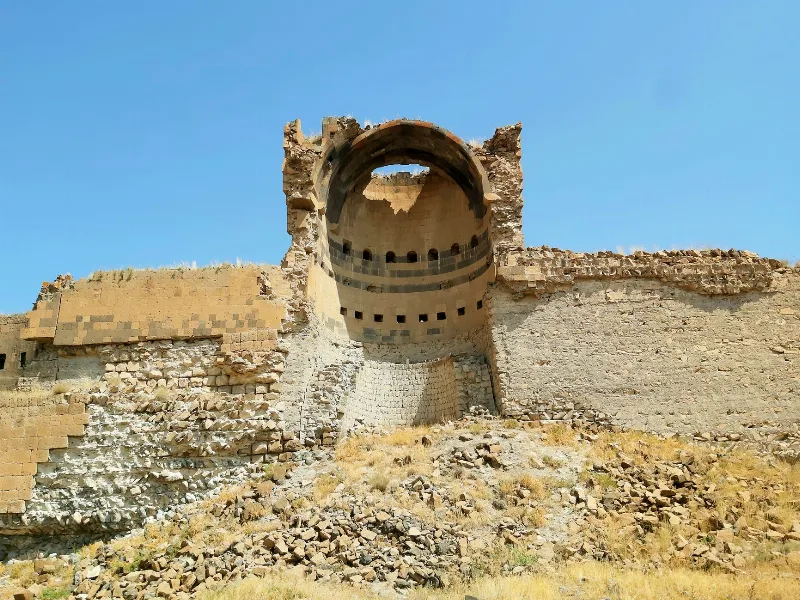
The fortifications are the first feature a visitor notices. A continuous wall runs along the edge of the plateau, reinforced by round and square towers at intervals, and it was repaired and extended by successive rulers, including the Shaddadids and the Seljuks, so the masonry shows several phases of work. The walls were never a simple barrier: they framed the city, controlled movement in and out, and marked the boundary between the settled town and the open pasture.
Several gates pierced the circuit, each opening onto a different road. The Lion Gate, named for the relief carved above its arch, faces the approach from the west, while other entrances led down towards the river crossing and out towards the plain. Small chapels and guardrooms were built into the structure, and in places the wall still stands high enough to cast a shadow across the path beneath it.
Churches and Stone Architecture
Ani is best known for its religious buildings. The cathedral, begun in the late tenth century and completed under the architect Trdat in the early eleventh, is a domed basilica whose pointed arches and clustered piers show a highly accomplished local tradition of stone building. Nearby, the Church of the Redeemer survives as a dramatic half-shell, split when a lightning strike and later earthquakes brought down its outer walls. The Church of St Gregory of Tigran Honents, built in the thirteenth century, retains a rich programme of frescoes inside, and the circular church of St Gregory, known as the Gagikashen, was modelled on the great early medieval church at Zvartnots.
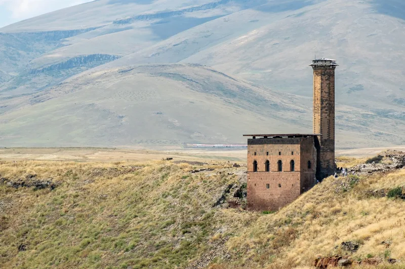
The city also holds a mosque founded in the eleventh century, a rare early example of Seljuk architecture in Anatolia, with a slender minaret that remains one of the site's landmarks. Together these structures show a place where Armenian, Georgian, Byzantine and Islamic building traditions met and influenced one another.
Trade, Caravans and the Silk Road
Ani's prosperity rested on movement. Caravan routes ran across the Kars plain linking the ports of the Black Sea and the cities of the Anatolian interior with the Caucasus and beyond, and Ani sat close to one of the crossings of the Akhurian. Goods such as silk, spices, dyes, metals and textiles passed through the region, and the resulting revenue supported the city's churches, markets and workshops.
The walls were part of that trading world as much as a defence: they sheltered warehouses and stalls, regulated access for loaded animals, and gave merchants a protected place to rest and exchange goods. Bridges, roads and caravanserais in the surrounding countryside completed the network, and the region's economy remained tied to these routes long after political control changed hands.
Decline, Earthquake and the Present Landscape
Ani's fortunes fell gradually. Raids and shifts in trade weakened the city, and a severe earthquake in the fourteenth century destroyed much of what remained. By the seventeenth century the settlement was effectively abandoned, leaving the buildings to the weather and to the open plain.
Today the site is inscribed on the UNESCO World Heritage List and is managed as an archaeological landscape. Visitors walk between the walls, churches and ruined streets against a backdrop of the gorge and distant pasture, where shepherds still graze animals in summer. The wider province of Kars adds further interest, with its distinctive local cheeses, honey and traditional stone architecture, making the region a rewarding destination for travellers interested in history, landscape and rural life.
Related content
Kars
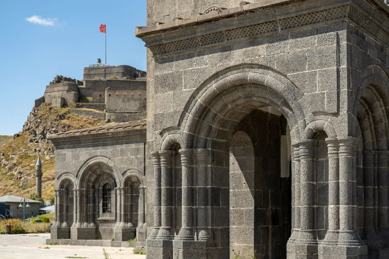
Kars is a high-plateau city in northeastern Türkiye, close to the Armenian border, shaped by decades of Russian rule and known for its cheesemaking tradition and the nearby medieval ruins of Ani. It serves as the main urban base for exploring this remote corner of Eastern Anatolia.
The Ancient City of Ani in Eastern Türkiye
Ani, an abandoned medieval city on the Turkish-Armenian border, offers a fascinating glimpse into a rich past with its well-preserved churches, mosque, and walls. Located near Kars, this ancient site invites travelers to explore its haunting beauty.
Ani
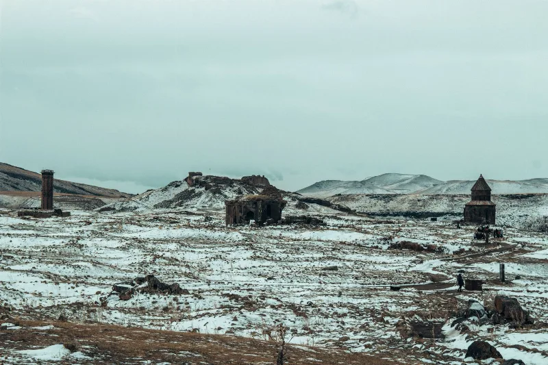
Ani is a ruined medieval city on a basalt plateau in Kars Province, eastern Turkey, once a major Silk Road centre and now a UNESCO World Heritage Site known for its churches, cathedral and walls.
Kars and the Ruins of Ani
In eastern Türkiye, the highland city of Kars stands near Ani, a medieval settlement whose churches, walls and gorges still shape the surrounding plateau.
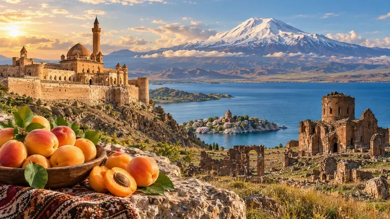
Eastern Anatolia Region
Eastern Anatolia is a region of majestic mountains, vast highlands, beautiful lakes and ancient cultural heritage. Home to Mount Ararat, Lake Van and historic settlements, it offers some of Türkiye's most dramatic natural landscapes alongside distinctive architecture, local traditions and regional cuisine.
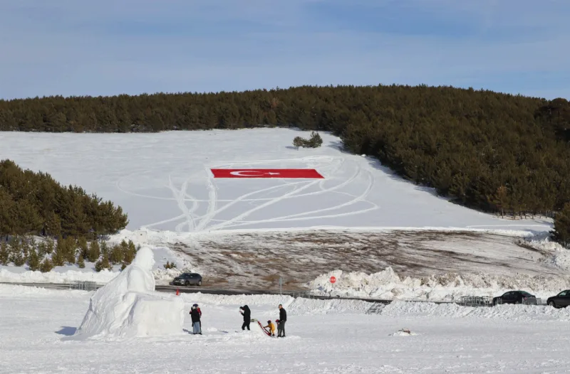
Winter in Sarıkamış, Kars
Sarıkamış in Kars is known for its crystal snow and a winter season that typically runs from December to March. The ski terrain sits among pine forests, and the district also carries a heavy historical legacy.
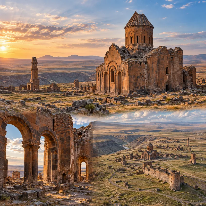
Ancient City of Ani
A medieval archaeological city near the Turkish-Armenian border, with churches, fortifications and monumental stone buildings.
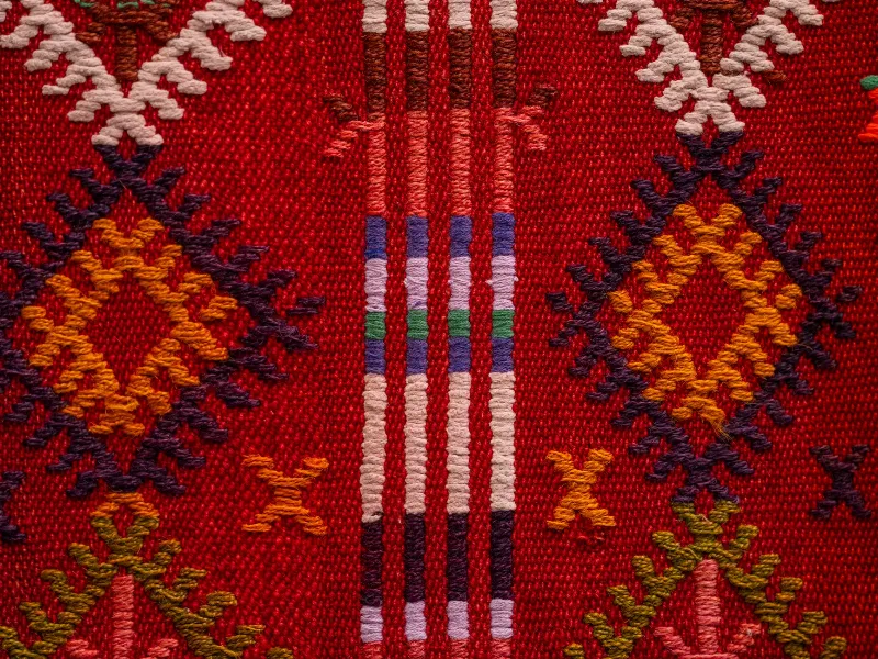
Turkish Carpets and Kilims
A look at Turkish carpets and kilims, from knotting and flatweave techniques to natural dyes, motifs and the Anatolian regions where they are made.