
Kaçkar Mountains
The Kaçkar Mountains form the highest section of Turkey's Black Sea ranges, a glacially sculpted landscape of sharp summits, cirque lakes and high summer pastures.
Kaçkar Mountains (Kaçkar Dağları) are the highest and easternmost major section of the Pontic mountain belt that runs along Turkey's Black Sea coast, extending mainly across the provinces of Rize, Artvin, Erzurum and Bayburt. The range culminates at Kaçkar Dağı, which rises to about 3,937 metres, and its identity comes from the combination of glacially modified peaks, small cirque lakes and broad high-elevation pastures known locally as yaylalar. This pairing of rugged alpine relief with seasonally used pastoral highlands sets the Kaçkar apart from the lower and wetter coastal ranges further west.
Geographical Setting of the Range
The Kaçkar massif sits inland from the eastern Black Sea shoreline, rising steeply behind the coastal belt around Çamlıhemşin and Hemşin in Rize Province and continuing eastward toward Artvin. To the south and southeast the range descends into the upper valleys that drain toward Erzurum and the Çoruh basin. Because the mountains stand directly in the path of moist air arriving from the sea, they mark a sharp environmental boundary between the humid Black Sea slopes and the drier interior to the south.
The core of the range is protected within Kaçkar Mountains National Park (Kaçkar Dağları Millî Parkı), designated in 1994. The park covers a large block of high ground and is the main reference point for anyone trying to understand the extent of the massif.
Geology and Glacial Landforms
The Kaçkar core is built largely of granitic intrusive rocks that were later uplifted and then carved by ice. During colder periods of the Pleistocene, glaciers occupied the higher valleys and excavated the bowl-shaped basins, sharp ridge lines and steep headwalls that define the present skyline. Several small glaciers and permanent snow patches still survive on the highest, most sheltered slopes, making the Kaçkar one of the few parts of Turkey where glacial ice persists.
The result is a landscape of cirques, arêtes and U-shaped valleys rather than the smooth, rounded profiles typical of many Anatolian plateaus. Meltwater from snow and ice feeds streams that cut down through the granite, and the cirque floors hold shallow lakes that freeze for much of the year.
Lakes, Meadows and Water
Glacial lakes occupy many of the high basins, generally small, cold and clear, sitting above the tree line in rocky hollows. They are fed mainly by snowmelt and are at their fullest in late spring and early summer. Below and around them spread the yayla meadows, which green up quickly after the snow retreats and are used by herders from surrounding villages during the warm months.
Streams draining the massif are fast and cold, with flow peaking during snowmelt and after heavy rain. Water levels and clarity change noticeably through the year, and crossings that are simple in late summer can be difficult earlier in the season.
Vegetation and Wildlife
Vegetation changes strongly with altitude. Lower slopes carry dense forests of oriental spruce, fir and beech, often mixed with other broadleaf species, and these give way upward to thickets of rhododendron and then to alpine grasses and flowering herbs on the high pastures. The transition from closed forest to open meadow is one of the most obvious features of the range.
The varied habitats support wildlife associated with the Caucasus region. Caucasian grouse and Caucasian snowcock are characteristic of the high zones, while chamois move across steep rocky ground. Larger mammals present in the wider area include brown bear, wolf and lynx, though all are shy and rarely encountered. Birds of prey are frequently seen soaring along the ridges.
How the Landscape Changes Through the Seasons
Snow dominates the range from late autumn into spring, when the high basins and passes are covered and the meadows lie dormant. Spring arrives late at altitude: the lower valleys green up first, while the high lakes may remain ice-covered well into early summer. Between June and August the yayla meadows reach their fullest growth and the greatest number of flowers, and the snow line retreats to the highest slopes and permanent patches.
Autumn brings clear, cooler days and a rapid change of colour in the forests before the first heavy snows return. Fog is common in transitional months, especially on the seaward slopes, and it can hide the peaks entirely even when the valleys below are clear.
Weather and Natural Conditions
The Kaçkar receive high precipitation because of their position against the Black Sea, and cloud and mist are frequent features of the range. Above the tree line the weather can shift quickly within a single day, with sudden rain, hail or snow possible even in summer. Strong sun at high altitude is a real consideration on clear days, and temperatures drop sharply after sunset.
Anyone planning to spend time on the high ground should expect cold nights, uncertain visibility and the possibility of snow at any time of year on the uppermost slopes.
Terrain and How the Area Is Reached
Access is generally gained from the north, through the Rize side of the range around Çamlıhemşin, where valleys climb toward the high pastures, or from the south and east through the Erzurum and Artvin uplands. Roads reach a number of yayla settlements, but beyond these the terrain becomes footpath country, with steep, rocky ground, boulder fields and stream crossings.
Walking in the Kaçkar is physically demanding: distances that look short on a map can take far longer over moraine, scree and loose granite. Navigation requires care in cloud, since landmarks disappear and the valleys look similar from above.
Protection and Nearby Natural Places
The national park status of the range's core is intended to protect its glacial landforms, alpine vegetation and the traditional yayla grazing system that has shaped the highlands for generations. Visitors are expected to leave no trace and to avoid disturbing grazing animals and wildlife.
The wider region offers several linked natural environments. On the northern side, the valleys below the high pastures lead toward the humid forest belt and the Kaçkar foothills. To the south and east, the upper Çoruh basin and the high ground around Yusufeli and İspir provide contrasting drier landscapes, while the coastal side of the range connects to the forested Black Sea slopes that run westward along the Pontic belt.
Beaches & bays
See the coast →
Related content
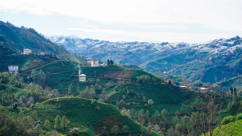
Rize
Rize is the capital of Rize Province on Türkiye's northeastern Black Sea coast, a city shaped by tea plantations, steep forested slopes and the high plateaus of the Kaçkar Mountains further inland.
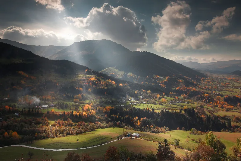
Artvin
Explore Artvin, the northeastern Black Sea region: history, standout sights, landscapes, local food and practical travel advice for an unforgettable journey in Türkiye.
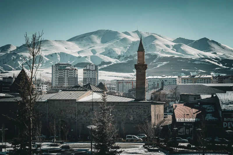
Erzurum
Erzurum is a high-plateau city in eastern Türkiye and the capital of its province, set at roughly 1,900 metres among mountains. It is known for severe winters, the long ski season on Palandöken and a historic centre of Seljuk and Ottoman monuments.
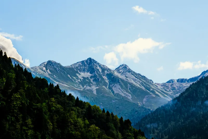
Kaçkar Mountains: Turkey's Eastern Black Sea Alpine Range
The Kaçkar Mountains form the highest and most glaciated section of Turkey's Pontic range, rising above the eastern Black Sea coast. They combine small glaciers, glacial lakes, high summer pastures and long-distance trekking routes across Rize, Artvin, Erzurum and Bayburt.
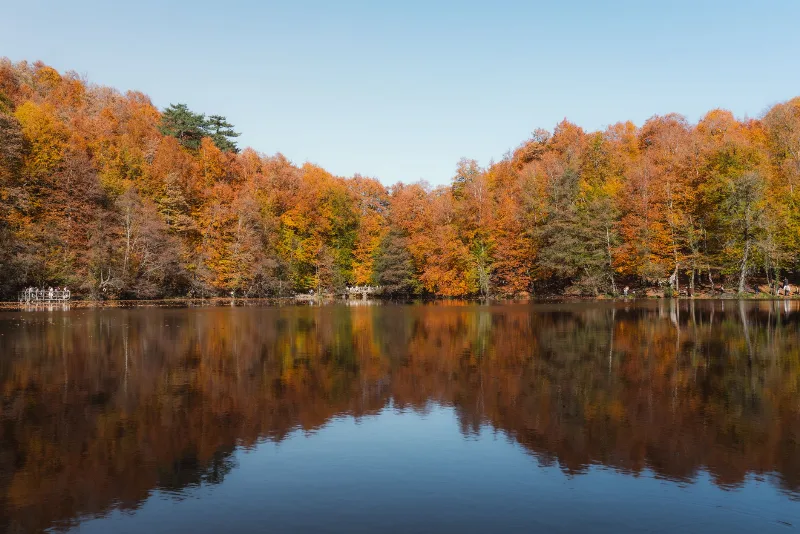
Nature Reserves of the Black Sea Region
Türkiye's Black Sea coast hides a chain of protected landscapes, from glacial lakes in the Kaçkar Mountains to canyons and old-growth forests in Kastamonu and Bartın.
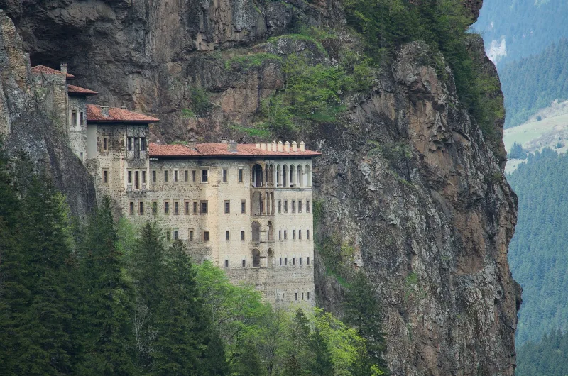
7-Day Eastern Black Sea Highlands Route: Trabzon to Artvin
A seven-day driving route through the Eastern Black Sea highlands, from Trabzon and Sumela to Uzungöl, Ayder, the Kaçkar Mountains and the forests of Şavşat, ending at Artvin.