
Kaçkar Mountains: Turkey's Eastern Black Sea Alpine Range
The Kaçkar Mountains form the highest and most glaciated section of Turkey's Pontic range, rising above the eastern Black Sea coast. They combine small glaciers, glacial lakes, high summer pastures and long-distance trekking routes across Rize, Artvin, Erzurum and Bayburt.
The Kaçkar Mountains, known in Turkish as Kaçkar Dağları, are the highest and most heavily glaciated section of the Pontic mountain belt that runs along Turkey's eastern Black Sea coast. They rise inland from the narrow coastal strip between the Fırtına valley near Çamlıhemşin in Rize province and the Çoruh valley around Yusufeli in Artvin, extending south towards İspir and the Erzurum plateau. The highest summit, Kaçkar Dağı, reaches 3,937 metres and still holds small glaciers and permanent snow patches, making the range one of the few places in Turkey where glacial ice survives. A large part of the massif is protected as Kaçkar Mountains National Park, established in 1994.
The geography of the range
The Kaçkars run roughly parallel to the Black Sea, separating the humid coastal zone from the drier interior around Erzurum. This orientation creates a sharp contrast between the two flanks. The northern slopes face the sea and receive very heavy rainfall, supporting dense forests that climb to around 2,000 metres before giving way to alpine pasture. The southern slopes, facing İspir and the Erzurum side, are noticeably drier and more open, with sparser tree cover and a drier, more continental character.
The range is broad rather than a single ridge. Deep valleys cut into it from both sides, and the interior is a tangle of secondary ridges, cirques and hanging valleys. The Fırtına river drains the western part, the Çoruh system drains much of the east and south, and smaller streams run north to the Black Sea. Valleys generally begin around 1,000 to 1,500 metres, while the surrounding summits rise above 3,000 metres, so the vertical relief in a short horizontal distance is considerable.
Peaks and high summits
Kaçkar Dağı itself is sometimes called the main Kaçkar or Büyük Kaçkar, and it is the traditional goal of most treks. Several neighbouring summits also exceed 3,000 metres, including Verçenik Dağı at about 3,711 metres and the group of peaks known collectively as the Altıparmak range. The highest ground is concentrated in the central and eastern parts of the massif, where the ridgelines are rocky, steep and often snow-covered well into the summer.
The origin of the name Kaçkar is debated. It is sometimes linked to the Armenian word khachkar, meaning cross-stone, a reference to carved stones found in the wider region, but no single explanation is universally accepted.
Glaciers and glacial lakes
The glaciers of the Kaçkars are small by global standards — cirque and valley glaciers rather than ice caps — but they are geologically significant because Turkey has very few of them. They sit mainly on the shaded northern faces of the highest peaks, where snow accumulates and compresses. Like most glaciers in the region, they have been retreating, and the ice margin has changed noticeably over recent decades.
Below the ice, the mountains are full of glacial lakes held in rock basins scooped out by former glaciers. These lakes typically lie between roughly 2,600 and 3,000 metres and are fed by snowmelt, so they are cold, clear and often partly frozen in early summer. Deniz Gölü, on the approach to Kaçkar Dağı from the Rize side, is among the best known. Other named lakes are scattered across the range, some reachable only on foot over high passes.
Climate and the best time to visit
The eastern Black Sea coast is the wettest part of Turkey, and the Kaçkars intercept much of that moisture. Rain and mist are common on the northern slopes even in midsummer, while the southern side is drier. At high elevations, snow typically covers the ground from late autumn until June, and permanent snowfields persist on north-facing slopes through the year.
The main trekking window runs from late June to September. July and August are the most reliable months for crossing high passes and attempting summits, when the snowline has retreated and the trails are clearest. Afternoon cloud, fog and sudden thunderstorms are frequent in summer, and weather can change quickly, so early starts are common practice. Spring and autumn are quieter but carry a greater risk of snow on high ground.
Routes, access and terrain
Most visitors approach from one of two directions. From the north, the route runs from Trabzon or Rize to Çamlıhemşin and then up to the plateau settlements, with Ayder and Yukarı Kavrun serving as traditional starting points for the climb towards Kaçkar Dağı via Deniz Gölü and Dilberdüzü. From the south and east, access comes through Erzurum, İspir or Yusufeli to the villages around Olgunlar and Barhal, from which trails lead up to the same high ground.
Some of the roads serving the highest settlements are unpaved and narrow, and the final sections are slow going. Public transport reaches the main towns, but the last stretches to trailheads usually require a vehicle suited to rough roads. Trails inside the range are mostly shepherds' paths; waymarking is limited and inconsistent, so a map, compass or GPS and the ability to navigate in cloud are genuinely useful. Several long traverses cross the massif over several days, linking valleys rather than returning to the same point.
Yayla culture and seasonal life
The high meadows, or yayla, are central to the human geography of the Kaçkars. Each summer, herding families move livestock up from the coastal villages to temporary settlements of stone and timber houses, where they graze animals on the alpine pasture. This transhumance pattern has shaped the landscape for centuries and explains why so many footpaths exist between valleys.
In winter these settlements are largely empty and often snowbound. Accommodation in the high valleys is limited and mostly consists of simple lodgings in the plateau settlements; outside the summer months, services are minimal and some places close entirely.
Plants and wildlife
Forests of oriental spruce, fir, beech and alder cover the lower slopes, particularly on the wetter northern side. Above the treeline, the vegetation shifts to Caucasian rhododendron thickets, low shrubs and a rich alpine flora with many endemic species adapted to short growing seasons. The combination of high rainfall and altitude produces a flora that differs from most of the rest of Turkey.
The range also supports notable wildlife. Brown bears, wolves and other large mammals occur in the forests and high valleys, and the Caucasian black grouse, a species tied to the Caucasus region, is one of the most characteristic birds here. Larger birds of prey, including vultures, can be seen over the ridges. Shepherds' dogs guarding flocks are common and should be treated with caution.
What to know before you go
Altitude is a real factor: many trails stay above 2,000 metres, and summit attempts start from camps well above that. Mobile phone coverage is unreliable or absent in the deeper valleys, so plans should not depend on it. Drinking water generally comes from springs and streams, and it is wise to treat or filter it. The national park has conservation rules, and campfires, litter and disturbance of grazing areas are best avoided entirely. Cash is practical to carry, since card payment is not typical in remote settlements. Sturdy boots, rain protection and warm layers are essential even in midsummer.
Nearby places in the same region
The Kaçkars sit within a wider landscape of high plateaus and historic valleys. To the northwest, the Fırtına valley near Çamlıhemşin is known for its old stone bridges and its own plateau settlements, and the nearby Zilkale castle stands above a side valley. To the east and south, around Yusufeli and İspir, the Çoruh valley holds medieval Georgian churches and monasteries, including the church at Barhal, alongside dramatic river gorges. The city of Erzurum lies to the south on the interior plateau, while Rize and Trabzon serve as the coastal gateways to the northern approaches.
Related content
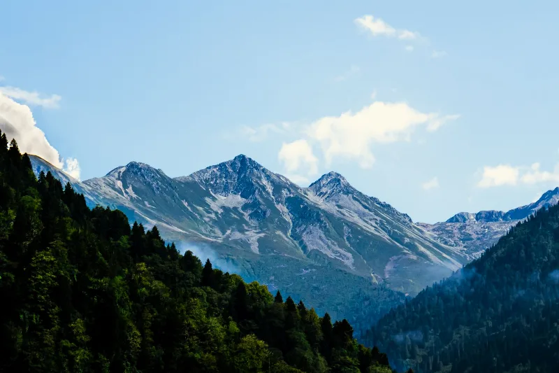
Kaçkar Mountains
The Kaçkar Mountains form the highest section of Turkey's Black Sea ranges, a glacially sculpted landscape of sharp summits, cirque lakes and high summer pastures.
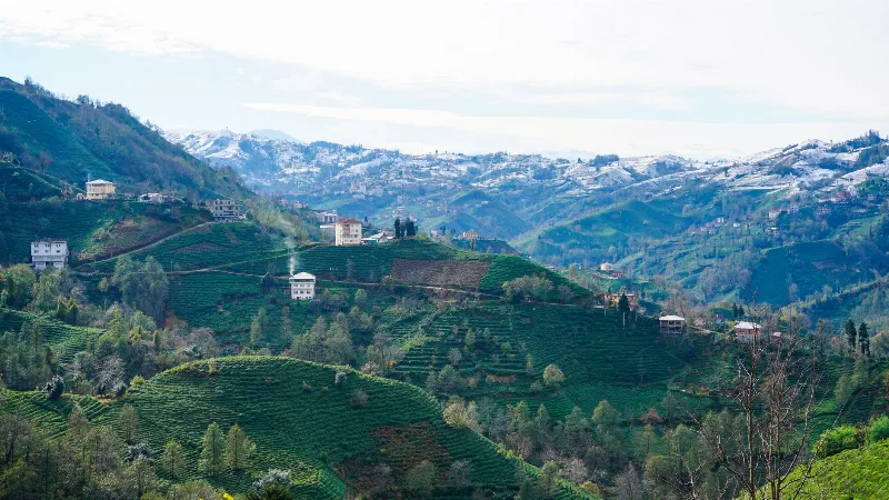
Rize
Rize is the capital of Rize Province on Türkiye's northeastern Black Sea coast, a city shaped by tea plantations, steep forested slopes and the high plateaus of the Kaçkar Mountains further inland.
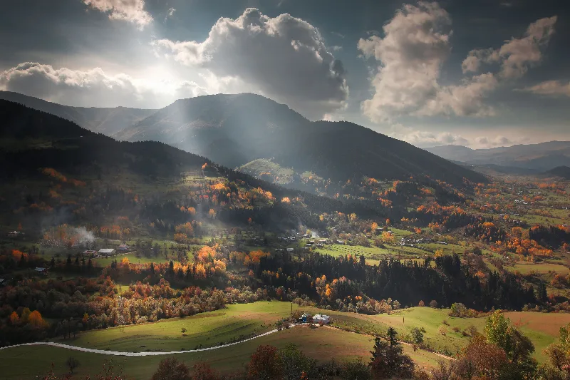
Artvin
Explore Artvin, the northeastern Black Sea region: history, standout sights, landscapes, local food and practical travel advice for an unforgettable journey in Türkiye.
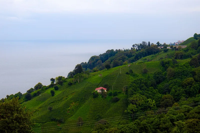
2-Day Rize and Ayder Route
A two-day linear route from Rize city through the coastal tea gardens and the Fırtına Valley to the Ayder Plateau in the Kaçkar Mountains.
Nature Reserves of the Black Sea Region
Türkiye's Black Sea coast hides a chain of protected landscapes, from glacial lakes in the Kaçkar Mountains to canyons and old-growth forests in Kastamonu and Bartın.
Nature
Lakes, forests, rivers, canyons, mountains, wetlands and national parks across Türkiye.