
Nature
Lakes, forests, rivers, canyons, mountains, wetlands and national parks across Türkiye.
Türkiye occupies a landscape shaped by major mountain systems, plateaus, river basins, forests, lakes, wetlands, volcanic formations, canyons and coastlines. Differences in elevation, geology and climate create a wide range of natural environments, from humid forests along the Black Sea to dry central plateaus, alpine mountain terrain, Mediterranean pine forests and high volcanic landscapes in the east.
The North Anatolian Mountains extend broadly parallel to the Black Sea, forming a barrier between the humid coastal zone and the interior plateau. In the northeast, the Kaçkar Mountains rise sharply above deep valleys and forested slopes. Higher elevations contain alpine meadows, rocky summits, glacial landforms and mountain lakes, while lower slopes support dense forests and river systems.
Southern Türkiye is dominated by the Taurus Mountains, a complex mountain system extending across much of the Mediterranean region. These mountains rise close to the coast in many areas and contain deep valleys, plateaus, caves, karst formations and steep canyons. Pine forests cover large sections of the lower and middle elevations, while higher zones transition into exposed rock, mountain pasture and seasonal snow.
Eastern Anatolia has some of the country’s highest elevations. Mount Ararat rises above the surrounding plateau, while other mountain ranges and volcanic formations create a rugged landscape of upland basins, lakes and valleys. Lake Van occupies a large tectonic basin and forms one of the defining geographic features of the region.
Central Anatolia presents a different environment, characterized by broad plateaus, steppe vegetation, salt lakes and volcanic landforms. Lake Tuz is a shallow saline lake surrounded by extensive flat terrain. Cappadocia was shaped by volcanic deposits and long-term erosion, producing valleys, rock cones, cliffs and unusual formations across a broad area.
Türkiye’s river systems cross several climatic and geographic zones. The Kızılırmak, Sakarya, Yeşilırmak, Fırat and Dicle are among the major rivers shaping valleys, plains and drainage basins. In mountainous areas, rivers have cut deep gorges and canyons through rock. Saklıkent Canyon and Köprülü Canyon are examples of landscapes formed by the interaction of water, geology and elevation.
Forests vary according to altitude and region. The Black Sea contains humid broadleaf and mixed forests, while Mediterranean and Aegean areas include extensive pine forests and vegetation adapted to summer dryness. Higher mountain belts support coniferous forests and alpine vegetation. Wetlands, river deltas and lake margins provide important habitats for resident and migratory bird populations.
Türkiye also contains numerous protected landscapes, including national parks, nature parks, wildlife areas and wetlands. These protected environments include forests, mountains, lakes, coastal ecosystems, canyons and geological formations.
Seasonal changes strongly influence the appearance of these landscapes. Snow covers high mountain regions during winter, spring increases river flow and brings extensive flowering, summer exposes the dry colours of central and southern landscapes, and autumn alters the colour of forested regions. The interaction of climate, altitude and geology produces a natural geography that changes markedly over relatively short distances.
Seasonal experiences
All Seasons →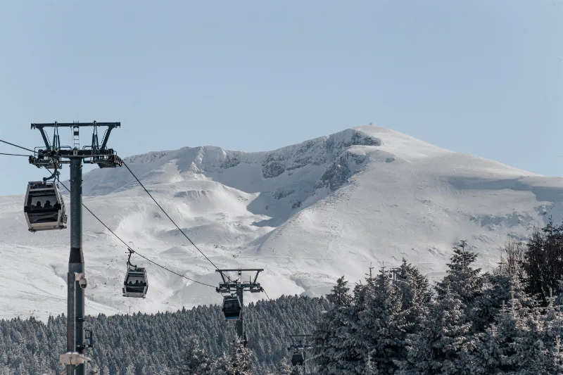
Autumn in Uludağ, Bursa
Uludağ's forests turn gold and copper between roughly late September and early November, with the colour moving down the slopes as temperatures drop. The timing depends heavily on how quickly autumn cold arrives that year.
Explore →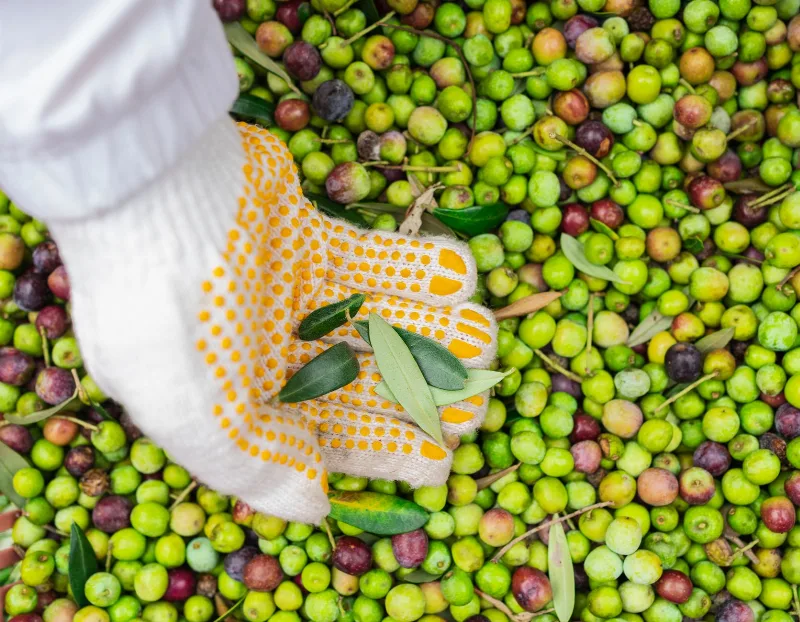
Olive Harvest in Ayvalık, Balıkesir
Each autumn, the olive groves around Ayvalık in Balıkesir turn from green to deep purple as the harvest season begins. Between October and November, growers pick the fruit and press it into one of Türkiye's most respected olive oils.
Explore →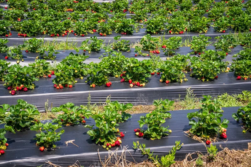
Strawberry Harvest in Silifke, Mersin
Silifke's strawberry harvest is one of Türkiye's earliest, normally running from around February to April on the coastal plain where the Göksu River meets the Mediterranean. The mild winter there pushes the fruit to ripeness weeks ahead of most other growing regions.
Explore →Related content
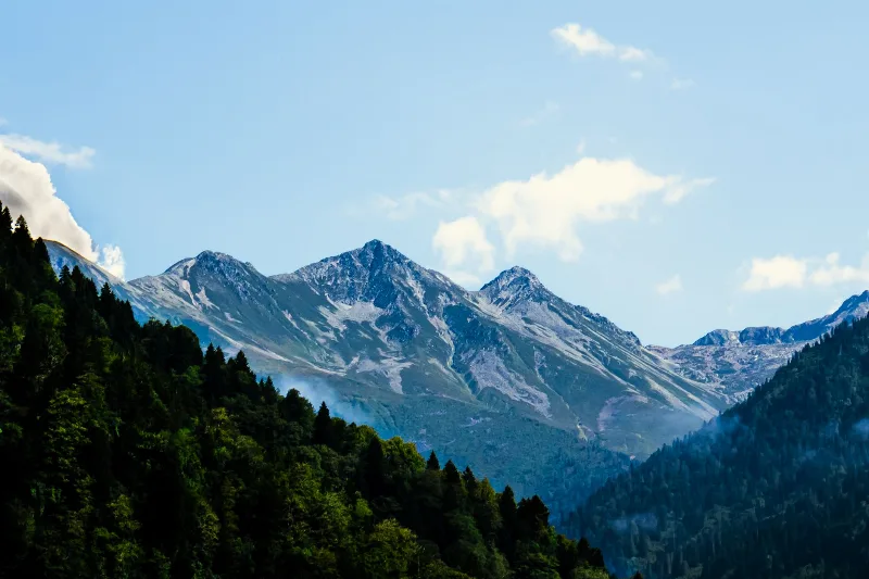
Kaçkar Mountains
The Kaçkar Mountains form the highest section of Turkey's Black Sea ranges, a glacially sculpted landscape of sharp summits, cirque lakes and high summer pastures.
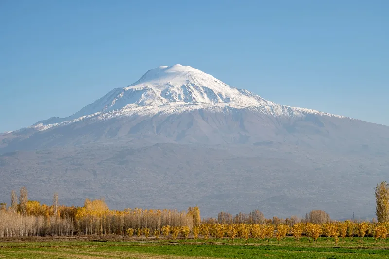
Mount Ararat
Mount Ararat (Ağrı Dağı) is a dormant, snow-capped stratovolcano in eastern Turkey and the country's highest mountain, rising in two distinct cones above the Iğdır Plain near the Iranian border.
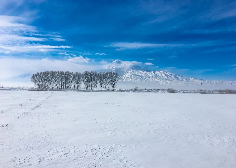
Mount Ararat
Mount Ararat is a dormant stratovolcano in eastern Türkiye and the country's highest mountain at 5,137 metres, known for its twin peaks, permanent ice cap and the long-standing Noah's Ark tradition.
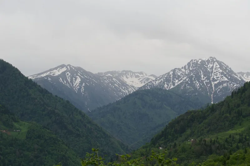
Mountains in Türkiye
Explore the stunning mountains of Türkiye, ideal for hiking and immersing in nature's beauty.
A Journey Through the Landscapes of the Kaçkar Mountains
Explore the breathtaking landscapes and diverse ecosystems of the Kaçkar Mountains, offering a unique hiking adventure in Türkiye.
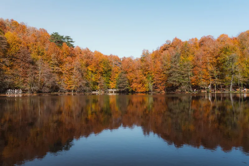
Nature Reserves of the Black Sea Region
Türkiye's Black Sea coast hides a chain of protected landscapes, from glacial lakes in the Kaçkar Mountains to canyons and old-growth forests in Kastamonu and Bartın.