
Mount Ararat
Mount Ararat is a dormant stratovolcano in eastern Türkiye and the country's highest mountain at 5,137 metres, known for its twin peaks, permanent ice cap and the long-standing Noah's Ark tradition.
Mount Ararat is a dormant stratovolcano in the far east of Türkiye and the highest mountain in the country, its main summit rising to 5,137 metres above sea level. It stands on the plains of Iğdır and Ağrı provinces, close to the borders with Armenia, Iran and the Nakhchivan exclave of Azerbaijan. The massif carries two distinct peaks: Greater Ararat (Büyük Ağrı Dağı), the 5,137-metre top, and Little Ararat (Küçük Ağrı Dağı), a separate cone of roughly 3,896 metres to the southeast. Its permanent ice cap, its scale and its traditional link with Noah's Ark make it one of the most recognisable natural landmarks in the country.
Two summits on a single massif
Greater and Little Ararat are often pictured together, but they are separate volcanic cones standing on the same broad base, linked by a high saddle. Greater Ararat is the dominant form: a wide, cone-shaped mountain whose upper third is largely ice and snow, with steep gullies and rocky ridges breaking the surface lower down. Little Ararat is a noticeably tidier cone, symmetrical and free of permanent ice, and it appears as a distinct silhouette from the plains around Iğdır.
The two peaks give the mountain a profile that changes dramatically depending on where it is viewed from. From the Aras valley to the north it reads as a single huge wall; from the south, near Doğubayazıt, the twin summits separate clearly on the skyline.
Where Mount Ararat stands
The mountain occupies the easternmost corner of Türkiye, in a landscape of high steppe plains, river valleys and lower volcanic hills. Administratively the massif is shared between Iğdır Province and Ağrı Province. The main town on the southern and western approaches is Doğubayazıt, which sits close to the mountain's foot and serves as the usual base for climbing. The city of Iğdır lies to the north, on the plain between the mountain and the Armenian border.
Distances here feel short on a map but travel can take longer than expected because the area is remote and roads approach the mountain from a limited number of directions. On clear days the summit is visible from a wide radius across eastern Anatolia and, beyond the border, from parts of Armenia.
Geology: a stratovolcano built in layers
Ararat is a stratovolcano, formed by successive eruptions that piled lava flows, ash and fragmented rock into a large cone. Its rocks are mainly andesite and dacite with basaltic material, typical of volcanoes along this type of convergent setting. The mountain is classed as dormant rather than extinct, and the last recorded volcanic activity dates to the nineteenth century, when an eruption was accompanied by a destructive flow of mud and debris down the flanks.
Above roughly 4,000 metres the mountain carries a permanent ice cap, and glaciers descend from the summit area, feeding streams that run down to the surrounding plains. This ice is central to the mountain's appearance and to the conditions climbers meet near the top.
The Noah's Ark tradition
Ararat is best known internationally through the biblical account in which the ark comes to rest on the mountains of Ararat. That tradition, rather than geology, has drawn explorers, researchers and travellers to the region for well over a century. A formation on the plain near Doğubayazıt has been promoted by some as a possible ark site, though it is not accepted by mainstream scholarship and its identification remains a matter of belief rather than established fact.
The mountain's older names reflect the region's layered history. In Armenian tradition it is known as Masis, while the Turkish name Ağrı Dağı is the one used on modern maps and in official contexts.
Climbing Mount Ararat
Climbing Greater Ararat is not a technical mountaineering expedition in the strict sense, but it is a serious high-altitude trek. The most established line is the south route, approached from the Doğubayazıt side. Vehicles typically drive to around 2,200 metres, from where the route ascends on foot to a first camp at roughly 3,200 metres and a higher camp at about 4,200 metres. Summit day begins before dawn and involves a long, gradual climb on snow and ice, with the final section crossed using crampons and an ice axe under normal summer conditions.
The whole ascent usually takes four to five days including acclimatisation, and altitude is the main challenge rather than the gradient. Physical fitness, a sensible acclimatisation schedule and previous trekking experience at height all matter more than technical skill.
Permits and access
Mount Ararat lies in a sensitive border area, and climbing is not open to independent walkers. A permit must be obtained in advance through official channels, and ascents are normally made with a licensed guide and a registered group. Permit procedures and access rules can change, so anyone planning a climb should confirm current requirements well before travelling.
The nearest practical entry points are the towns of Doğubayazıt and Iğdır, reached by road from the wider region. Air access is usually through Iğdır or Van, followed by road transfer. Because the mountain sits near the frontier, identity documents and patience with checkpoints are a normal part of the trip.
Seasons and conditions
The climbing season runs roughly from late June to early September, with July and August offering the most stable weather and the most accessible snow conditions. Outside this window the mountain is heavily snowbound and the approach routes become far harder. Even in midsummer, temperatures near the summit can fall well below freezing, and sudden wind, cloud and snowfall are common.
Snow persists on the upper mountain throughout the year, so the summit is never a bare-rock walk. Lower down, the plains around the mountain are hot and dry in summer, which makes the contrast between the valley floor and the summit zone considerable.
What to know before visiting
- The mountain is remote, and services and facilities near the trail are minimal.
- Altitude sickness is a real risk; ascent profiles should allow time to adjust.
- Warm layers, waterproofs, glacier equipment and sun protection are all necessary in summer.
- Permits take time to arrange and cannot be sorted out on arrival.
- The massif is large, and views of the peak are often better from the surrounding plains than from close to its base.
Around the mountain
The area around Ararat holds several places worth combining with a visit. Doğubayazıt is known for the İshak Pasha Palace, an Ottoman complex of the seventeenth and eighteenth centuries set on a ridge above the town, and for the older castle nearby. The Doğubayazıt meteor crater, a large and well-preserved impact structure, lies on the plain to the east. Further afield, the city of Kars and the medieval ruins of Ani lie to the north, while Lake Van and its historic centre are within reach to the west, making the far east of Türkiye a region of distinct landscapes and deep historical layers.
Related content
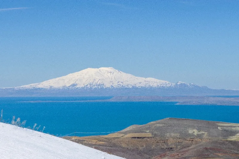
Ağrı
Explore Ağrı, eastern Türkiye: history, standout sights, landscapes, local food and practical travel advice for an unforgettable journey in Türkiye.
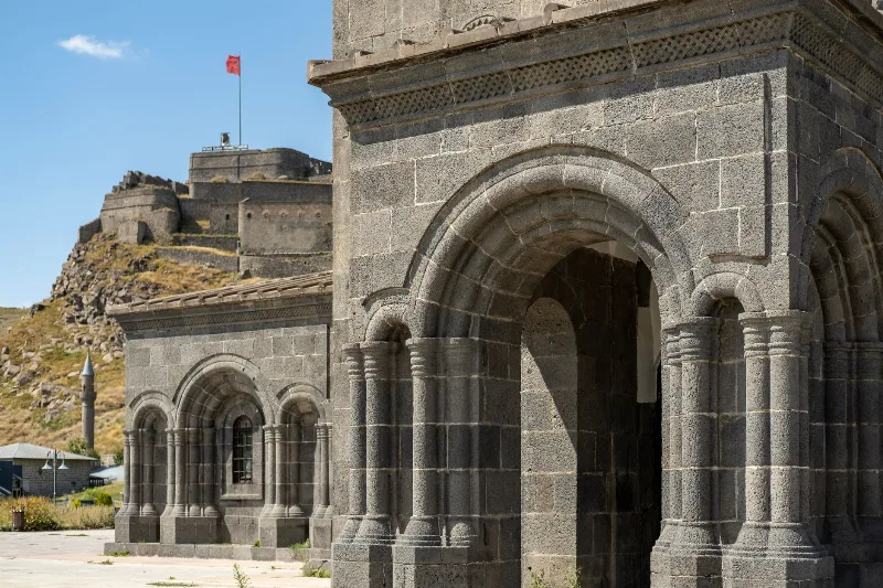
Kars
Kars is a high-plateau city in northeastern Türkiye, close to the Armenian border, shaped by decades of Russian rule and known for its cheesemaking tradition and the nearby medieval ruins of Ani. It serves as the main urban base for exploring this remote corner of Eastern Anatolia.
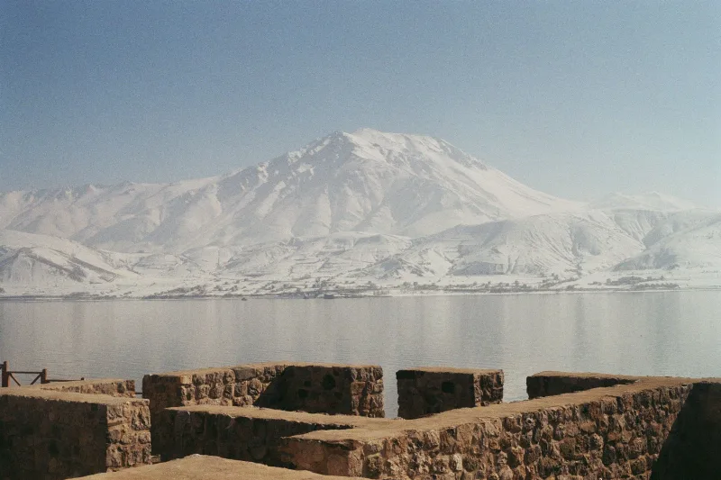
Lake Van
Lake Van is Turkey's largest lake, a vast alkaline soda lake with no outlet, set in the volcanic highlands of Eastern Anatolia at around 1,640 metres. Its unusual chemistry, depth and islands give it a character unlike any other lake in the country.
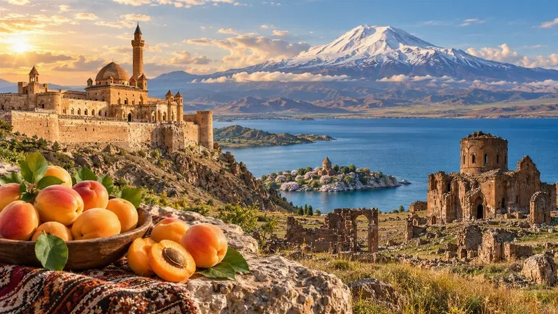
Eastern Anatolia Region
Eastern Anatolia is a region of majestic mountains, vast highlands, beautiful lakes and ancient cultural heritage. Home to Mount Ararat, Lake Van and historic settlements, it offers some of Türkiye's most dramatic natural landscapes alongside distinctive architecture, local traditions and regional cuisine.
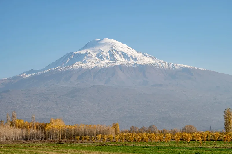
Mount Ararat
Mount Ararat (Ağrı Dağı) is a dormant, snow-capped stratovolcano in eastern Turkey and the country's highest mountain, rising in two distinct cones above the Iğdır Plain near the Iranian border.
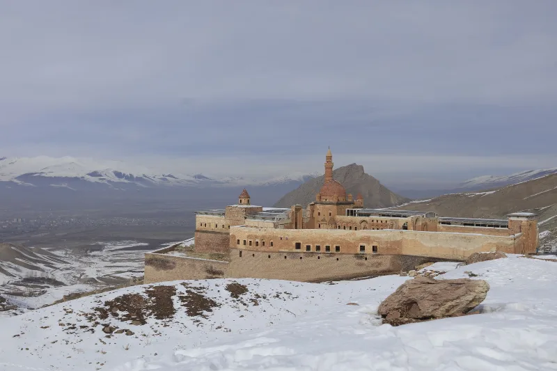
Ishak Pasha Palace
Ishak Pasha Palace is a late Ottoman palace complex in Doğubayazıt, Ağrı Province, eastern Turkey. Built between the late 17th and late 18th centuries, it is known for its stone architecture, which combines Ottoman, Seljuk, and Persian elements.