
Erzurum
Erzurum is a high-plateau city in eastern Türkiye and the capital of its province, set at roughly 1,900 metres among mountains. It is known for severe winters, the long ski season on Palandöken and a historic centre of Seljuk and Ottoman monuments.
Erzurum is a large city in eastern Türkiye and the administrative centre of Erzurum Province. It stands on a high plain at roughly 1,900 metres above sea level, enclosed by mountain ranges, and ranks among the biggest urban centres in the country's eastern half. What defines it most clearly is a combination of factors: some of the harshest winters in Türkiye, a snow season that lasts for months, and a compact historic core of Seljuk and Ottoman buildings. Palandöken Mountain, rising just to the south of the built-up area, gives the city a second identity as the country's main winter sports centre.
Where Erzurum Lies
The city occupies the Erzurum Plain, a broad, high basin in the Eastern Anatolia region. Mountains surround it on most sides: the Palandöken range to the south, higher ground to the north and east, and passes that lead down towards the Black Sea coast in the north-west and towards Kars in the east. The plain itself is open and windswept, which explains both the wide spread of the city and the sharpness of its climate.
Water matters here. The Karasu, the northern branch of the Euphrates (Fırat), rises in the hills north of the city, and streams from the surrounding slopes feed the plain before joining larger river systems further down. Erzurum Province is much larger than the city itself and stretches across very different terrain, reaching north into the Çoruh valley around İspir and east towards the plateau country that continues into Kars Province.
Erzurum's location on the historic east-west caravan routes is the reason it grew at all. Traffic between Anatolia, the Caucasus and Iran passed through this plain for centuries, and the city became a staging point, market and garrison town on that corridor.
The Shape of the City
Erzurum was reorganised as a metropolitan municipality in 2012, and its central area is divided into three districts. Yakutiye contains the old town, the bazaars and most of the monuments. Aziziye covers the northern and western parts of the urban area, where much of the modern expansion has taken place. Palandöken district lies to the south, on the side facing the mountain, and includes the road that leads up to the ski area.
Much of the city is typical of a large Anatolian administrative and university centre: wide avenues, apartment blocks, a busy commercial core and a ring of newer development on the plain. The historic quarter is the exception. Around the citadel mound the street pattern becomes tighter, with hans, mosques and medreses packed into a small area that can be covered on foot.
Seljuk and Ottoman Erzurum
The architectural heritage is the strongest reason to spend time in the city centre rather than simply passing through. The Çifte Minareli Medrese, with its carved portal and pair of slender minarets, is the best-known Seljuk monument in the city. The Yakutiye Medrese, built in the early fourteenth century, is another, and now houses a museum of Turkish and Islamic art. The Ulu Cami, dating from the twelfth century, belongs to the earlier Saltukid period, and the Üç Kümbetler, a group of small tomb towers, stands nearby.
At the centre of the old town is the Erzurum Castle, built on an ancient settlement mound, with a clock tower on its summit. The covered bazaar area retains the Rüstem Paşa Caravanserai, a sixteenth-century han that reflects the city's commercial past, and several Ottoman mosques of the same period stand within walking distance.
The modern history is equally present. Russian forces occupied Erzurum several times in the nineteenth and early twentieth centuries, and the 1919 Erzurum Congress, a key gathering during the Turkish War of Independence, was held in the city; its building is preserved as a museum. Erzurum also has an archaeological museum and, as home to Atatürk University, founded in 1957, a long-standing role as an educational centre for eastern Anatolia.
Palandöken and the Winter Season
Palandöken Mountain rises to over 3,000 metres and its ski area begins close to the city, which is unusual for a resort of this scale. Long, wide runs, reliable snow and a season that usually extends from December into April have made it the leading ski destination in Türkiye. Erzurum hosted the 2011 Winter Universiade, and a number of winter sports venues were built or upgraded for the event, adding ice sports and other facilities to the city's profile.
For most of the year, however, Palandöken is simply the mountain that shapes the city's southern edge and provides a backdrop to daily life on the plain.
Climate and When to Visit
Erzurum has a continental climate of the severe kind found on high eastern plateaus. Winters are long, snowy and very cold, with snow lying on the ground from December into March and sometimes considerably longer; night temperatures in mid-winter commonly fall below minus twenty degrees. Spring arrives late and can still bring snow. Summers are short, with warm days and cool nights, and are the most comfortable period for sightseeing, walking and travel around the province.
In practical terms, the winter months suit skiers and anyone interested in the snowbound character of the city, while June to September is the better window for the historic centre, the surrounding valleys and the mountain landscapes in their green season.
Around Erzurum
The province holds a surprising range of landscapes within a few hours of the city. In the north, the district of Uzundere has the Tortum Waterfall and the long lake behind it, set in a green valley that feels far removed from the plain. Also in the north is Narman, known for eroded red earth formations sometimes described as fairy chimneys. Oltu gives its name to a black, jet-like stone that has been carved into jewellery and prayer beads here for generations, and İspir sits deep in the Çoruh valley, where the climate is milder and the terrain far steeper.
To the east, the road towards Pasinler and on to Kars crosses open high country with a chain of small towns and villages. South of the plain, the mountains rise quickly, and the higher valleys are used for summer grazing. These contrasts between the dry, cold plain and the greener northern valleys are one of the region's defining features.
Regional Identity and Food
Erzurum has a strong local identity. Its cuisine is hearty and suited to the climate: cağ kebabı, roasted on a horizontal spit and served in pieces, is the best-known dish, followed by kadayıf dolması, a sweet made from shredded pastry filled with walnut. Civil cheese and other dairy products are part of the regional table, and the surrounding countryside supports livestock farming on a large scale.
The city also has a reputation for religious scholarship and for the number of people who have memorised the Quran, a tradition linked to its medreses and to the wider culture of the eastern provinces.
Reaching Erzurum and Moving On
Erzurum has its own airport with regular domestic flights, and it lies on the railway line that continues east to Kars; the long-distance Eastern Express between Ankara and Kars passes through the city and has become popular in its own right. Road connections run east towards Kars and the Armenian border region, west towards Erzincan and Anatolia, north-west towards the Black Sea coast at Trabzon, and south-east towards Van and the lake country.
Because of its position, Erzurum works well as a base or a stopping point for exploring eastern Türkiye. It is close enough to Kars, the Çoruh valley and the northern lake district to be combined with them, while the city itself offers a dense historic centre and a mountain on its doorstep.
Discover Food in Türkiye
All food →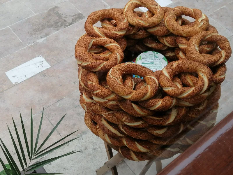
Simit
Simit is a ring-shaped Turkish bread covered in sesame seeds, strongly associated with Istanbul and sold as everyday street food. It is eaten fresh, most often with tea, and has a crisp crust around a chewy crumb.
Explore →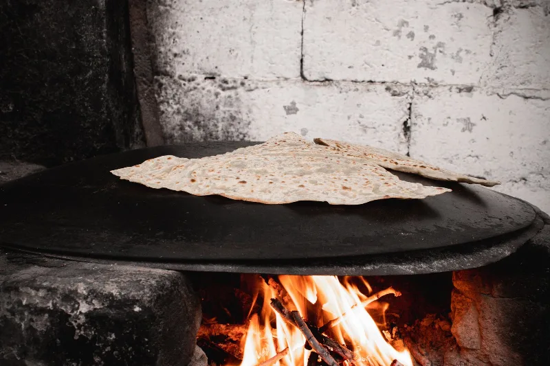
Bazlama
Bazlama is a soft, thick Turkish flatbread made from a leavened dough and cooked on a hot griddle. It is a staple of village baking across Anatolia, eaten warm with butter or used to wrap other foods.
Explore →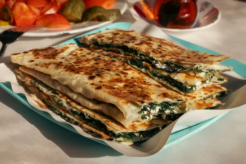
Gözleme
Gözleme is a thin, hand-rolled Anatolian flatbread folded around savory fillings such as cheese, spinach, or minced meat and cooked on a sac griddle. The article covers its regional variations, cooking method, texture, and traditional serving style.
Explore →Related content
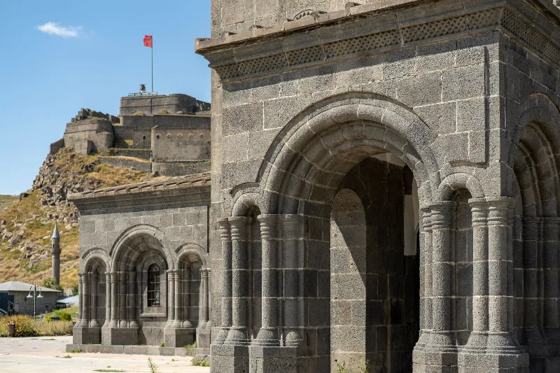
Kars
Kars is a high-plateau city in northeastern Türkiye, close to the Armenian border, shaped by decades of Russian rule and known for its cheesemaking tradition and the nearby medieval ruins of Ani. It serves as the main urban base for exploring this remote corner of Eastern Anatolia.
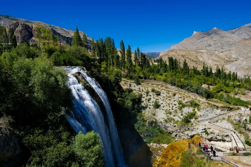
Tortum Waterfall
Tortum Waterfall in Erzurum Province is the outflow of Lake Tortum, a large landslide-dammed lake, and the drop marks where the lake spills over the natural barrier that formed it.
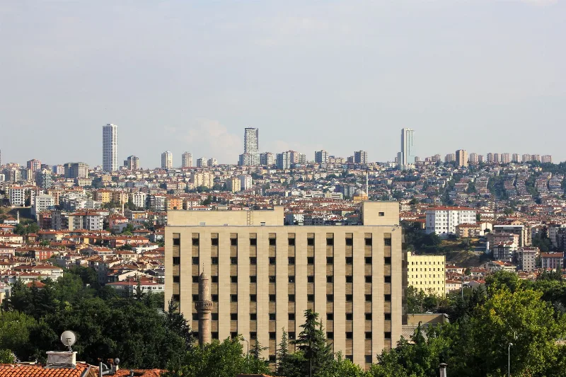
Ankara
Ankara is the capital of Türkiye and the country's second-largest city, set on the high plateau of Central Anatolia and defined by its republican institutions, its long pre-Ottoman history and the mausoleum of Mustafa Kemal Atatürk.
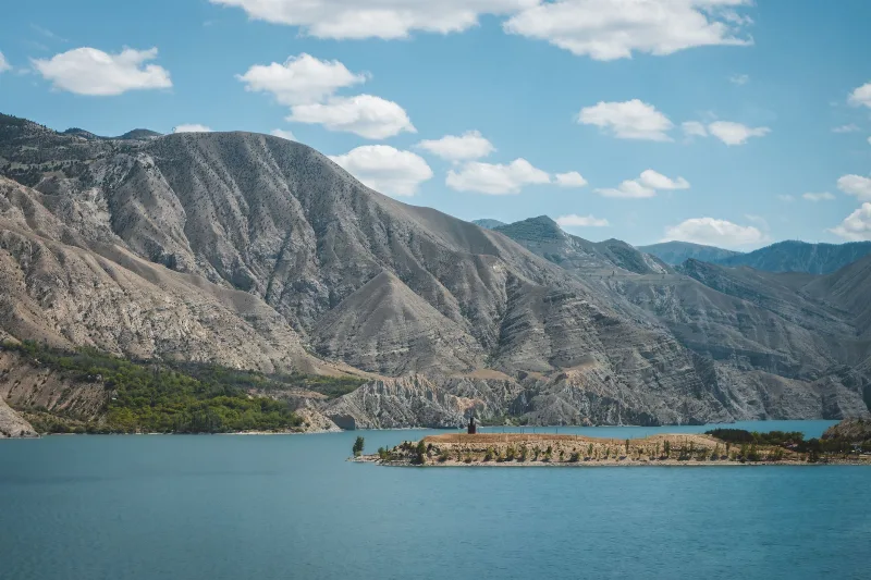
Lake Tortum
Lake Tortum is a landslide-dammed lake in Erzurum Province, northeastern Türkiye, created when a huge rock slide blocked the valley of the Tortum River. Its overflow spills over the Tortum Waterfall, one of the country's best-known cascades.
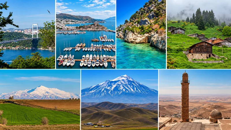
The Seven Geographical Regions of Turkey
An introduction to Turkey’s seven geographical regions and the landscapes, climates and cultural characteristics that distinguish them.
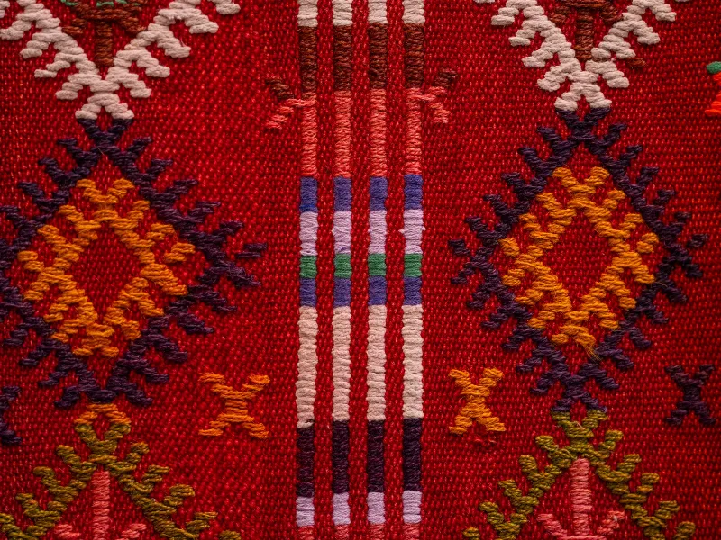
Turkish Carpets and Kilims
A look at Turkish carpets and kilims, from knotting and flatweave techniques to natural dyes, motifs and the Anatolian regions where they are made.