
Ankara
Ankara is the capital of Türkiye and the country's second-largest city, set on the high plateau of Central Anatolia and defined by its republican institutions, its long pre-Ottoman history and the mausoleum of Mustafa Kemal Atatürk.
Ankara is the capital of Türkiye and the country's second-largest city by population. It lies in the Central Anatolia region, on a broad high plateau roughly in the middle of the Anatolian landmass, at an elevation of around 900 metres. Administratively it is both a province and a metropolitan municipality, and its urban core has grown far beyond the old citadel that once defined the settlement. What distinguishes Ankara from every other Turkish city is its role as the seat of national government and its identity as the city where the Republic of Türkiye was founded and shaped.
Where Ankara Sits and What the Landscape Looks Like
Ankara occupies a basin and the surrounding slopes of the Anatolian plateau. The terrain is not flat: ridges and hills rise within and around the city, and the old town climbs a rocky outcrop crowned by the Ankara Citadel. The city sits at the meeting point of several small river valleys, most notably those of the Ankara Çayı, a tributary system feeding the Sakarya River basin. Because there is no sea nearby, the landscape is dominated by steppe vegetation, dry slopes, and agricultural land beyond the built-up area. Rainfall is moderate and concentrated in spring, and the plateau setting produces cold, snowy winters and hot, dry summers with cool nights.
The Historical Development of the City
Ankara's history reaches back well before the Turkish Republic. It was known in antiquity as Ancyra, and evidence of settlement in the area spans Phrygian, Greek, Roman, Byzantine and later Seljuk and Ottoman periods. The Ankara Citadel and the walls around the old town preserve layers of that long occupation. In the early twentieth century, the city became the centre of the Turkish national movement and was declared the capital of the new Republic in 1923, replacing Istanbul. From that decision onward, Ankara was deliberately rebuilt as a modern administrative city, with wide boulevards, government quarters and planned districts laid out on the plateau above the historic core.
Urban Character and the Shape of the City
Modern Ankara is organised around a few clear axes. Kızılay functions as the central hub where the main north-south and east-west boulevards meet, and the districts stretching southward — Çankaya, Bahçelievler and their neighbours — are associated with government offices, embassies, universities and residential neighbourhoods. To the north and west lie Ulus, the older commercial heart near the citadel, and the newer quarters that spread outward along the Eskişehir and Istanbul roads. The city is a metropolitan municipality divided into many districts, and its growth has produced distinct characters: the historic centre, the institutional south, and the rapidly expanding peripheral districts that house much of the population.
Anıtkabir and the Republican Symbolism of Ankara
The most recognisable landmark in Ankara is Anıtkabir, the mausoleum of Mustafa Kemal Atatürk, which stands on Rasattepe hill overlooking the city. Its monumental architecture, ceremonial plaza and surrounding park make it both a memorial and one of the defining symbols of the Republic. The site draws visitors throughout the year and shapes how Ankara presents itself nationally. Alongside it, the grand axis of Atatürk Boulevard, the old parliament building in Ulus, and the modern government quarter together express the city's identity as a capital built around the institutions of the state.
Museums, the Citadel and the Old Town
Ankara holds several of Türkiye's most important museums. The Museum of Anatolian Civilizations, housed in a restored Ottoman building near the citadel, presents artefacts from Anatolian civilisations ranging from the Neolithic to the classical period and is one of the principal reasons many travellers stop in the city. The citadel itself is a district of narrow lanes, old houses, and views across the urban basin. Nearby, the Roman remains and the Temple of Augustus and Rome in the Ulus area add further depth to the historic core. These sites give Ankara a cultural weight that often surprises visitors who know it only as a government city.
Districts and Central Areas Worth Understanding
Beyond Kızılay and Ulus, the metropolitan area includes large districts such as Çankaya in the south, Keçiören and Yenimahalle in the north and west, and newer developments further out toward the ring roads. Each has its own role in the life of the city: some are administrative and residential, others are industrial or commercial, and the peripheral districts absorb much of the ongoing growth. Tunalı Hilmi Street and the surrounding Çankaya neighbourhoods are associated with the city's cultural and social life, while the area around the train station and the older quarters preserves a denser, more historic urban fabric. Understanding this geography helps explain how Ankara functions as a capital and as an everyday city.
Parks, Nature and the Surrounding Region
Ankara is not a coastal city, but it has substantial green space. Eymir Lake and the Middle East Technical University forest area, the large Atatürk Orman Çiftliği on the western edge of the city, and the hilltop parks around the citadel provide accessible nature within the metropolitan boundary. Beyond the city, the Central Anatolian plateau offers steppe landscapes, small towns and agricultural plains, alongside historic sites from earlier civilisations. The region around Ankara connects naturally to neighbouring provinces, and the city serves as a transport hub between Istanbul, Eskişehir, Konya and the Black Sea interior.
When to Visit and How the City Connects
Ankara's continental plateau climate means spring and autumn generally offer the most comfortable conditions for walking and sightseeing, with mild days and clear light. Summer can be hot and dry, while winter brings cold weather and snow, which affects the higher ground and hilltop areas. The city is well connected by rail and road to the rest of Türkiye and is served by an international airport to the north-east of the centre, along with a metro and urban rail system that links the main districts. Ankara is commonly visited as a stop between Istanbul and Central Anatolia, and it works well as a base for exploring the region's historical and natural surroundings.
What Makes Ankara Distinct
Ankara is a capital that mixes a long, layered past with a firmly modern present. Its identity rests on republican history and national institutions, but also on a visible Anatolian heritage preserved in its citadel, its museums and its archaeological remains. It is a large, inland, highland city rather than a coastal resort, and its character is shaped by government, universities, culture and the open steppe around it. For anyone trying to understand modern Türkiye, Ankara is the place where its political and institutional story is most clearly written into the urban landscape.
Discover Food in Türkiye
All food →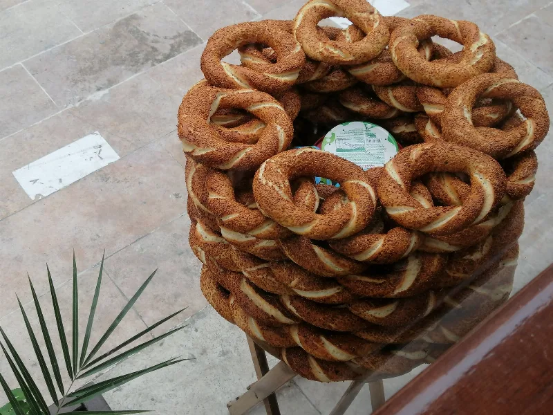
Simit
Simit is a ring-shaped Turkish bread covered in sesame seeds, strongly associated with Istanbul and sold as everyday street food. It is eaten fresh, most often with tea, and has a crisp crust around a chewy crumb.
Explore →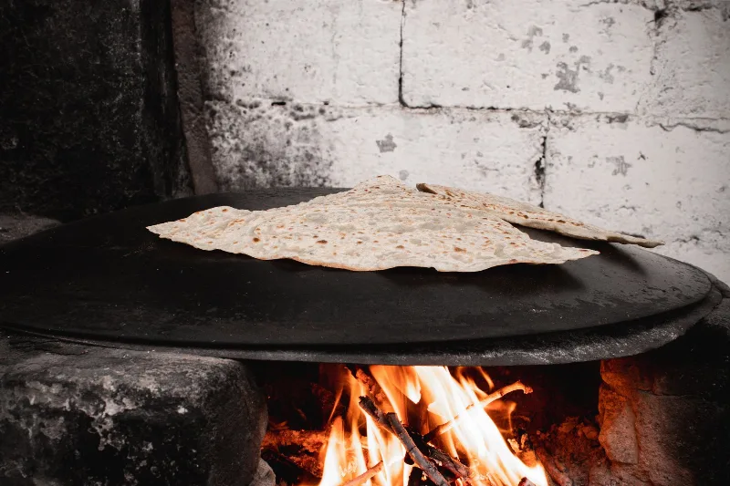
Bazlama
Bazlama is a soft, thick Turkish flatbread made from a leavened dough and cooked on a hot griddle. It is a staple of village baking across Anatolia, eaten warm with butter or used to wrap other foods.
Explore →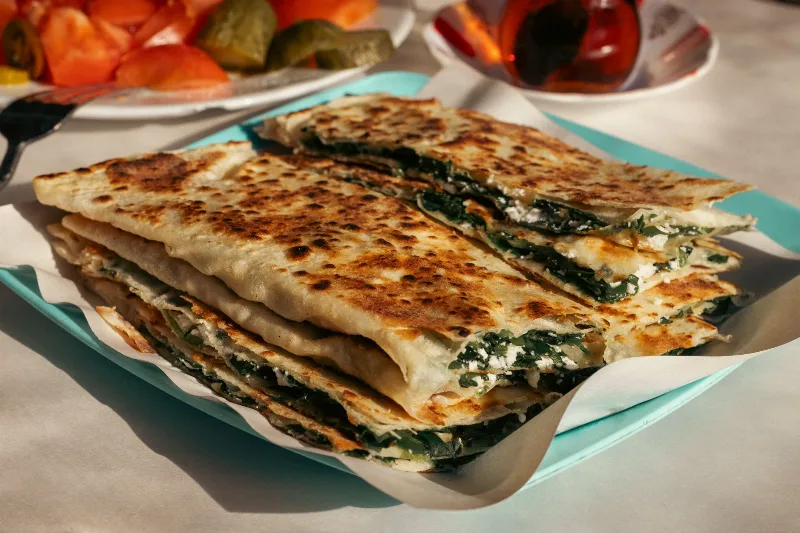
Gözleme
Gözleme is a thin, hand-rolled Anatolian flatbread folded around savory fillings such as cheese, spinach, or minced meat and cooked on a sac griddle. The article covers its regional variations, cooking method, texture, and traditional serving style.
Explore →Related content
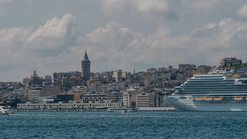
Istanbul
Istanbul is Türkiye's largest city and the country's only metropolis that spans two continents, divided by the Bosphorus strait into a European and an Asian half. Its long run as an imperial capital left a historic core of palaces, mosques and bazaars that still shapes the city's identity.
Eskişehir
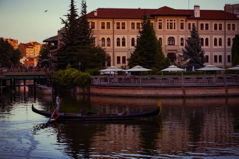
Eskişehir is a university city on the Porsuk River in northwestern Central Anatolia, where a restored Ottoman-era quarter and a modern, pedestrian-friendly centre sit side by side.
Nature
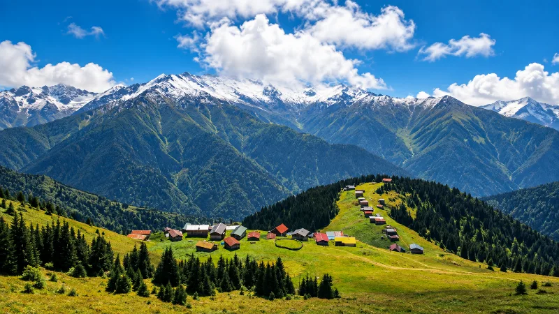
Lakes, forests, rivers, canyons, mountains, wetlands and national parks across Türkiye.
1-Day Eskişehir Route
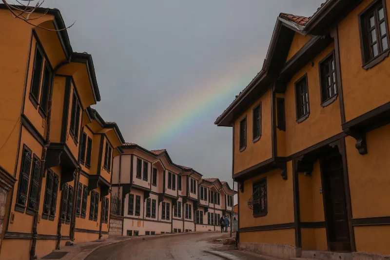
A compact one-day walking route through Eskişehir, moving from the timber houses of Odunpazarı down to the Porsuk River promenade and finishing among the cafés and trams of the modern centre.
The Seven Geographical Regions of Turkey
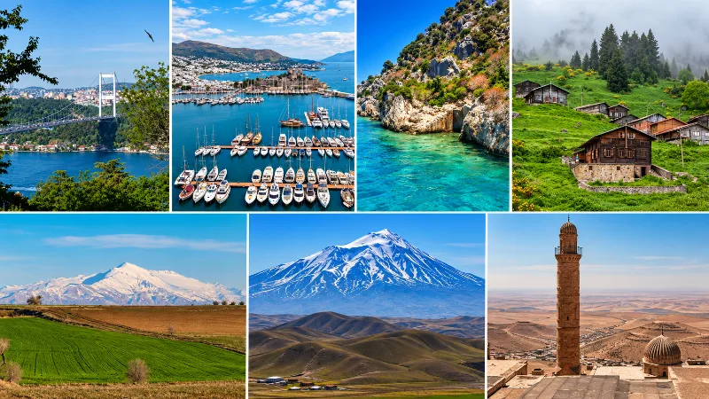
An introduction to Turkey’s seven geographical regions and the landscapes, climates and cultural characteristics that distinguish them.
Spring in Turkey
From flowering valleys and green highlands to mild coastal towns, spring changes the landscape across different regions of Turkey.