
Lake Tortum
Lake Tortum is a landslide-dammed lake in Erzurum Province, northeastern Türkiye, created when a huge rock slide blocked the valley of the Tortum River. Its overflow spills over the Tortum Waterfall, one of the country's best-known cascades.
Lake Tortum (Tortum Gölü) is a natural landslide lake in Erzurum Province, in the highlands of northeastern Türkiye. It sits in the valley of the Tortum River, a tributary of the Çoruh system, close to the district centres of Tortum and Uzundere. The lake formed when a very large mass of rock and debris broke loose from the valley slopes and blocked the river, ponding the water behind the natural dam. What defines the place is this combination: a quiet, elongated body of water held back by a landslide, and a waterfall at its downstream end where the outflow drops over the barrier that created the lake in the first place.
Where Lake Tortum lies
The lake occupies a section of the Tortum valley roughly 100 kilometres north of the city of Erzurum, in the direction of the Georgian border and the Artvin highlands. It lies within Erzurum Province, with the towns of Tortum and Uzundere as the nearest settlements along its length. The main road linking Erzurum with the northeast runs close to the water, so the lake is part of a broader corridor that also leads toward the Çoruh valley. The surrounding terrain is mountainous and relatively dry, rising steeply from the shoreline into ridges and slopes that frame the water on both sides.
How a landslide built the lake
The defining feature of Tortum is its origin. This is a barrier or landslide-dammed lake, not a basin carved by ice or movement of the earth's crust. A huge slide of rock and loose material detached from the valley side and settled across the river course, interrupting the flow and allowing water to accumulate upstream. Because the blockage is natural rather than engineered, the lake depends on the stability of that mass of debris. The outlet works around the obstruction, which is why the water eventually escapes over a step in the valley floor and forms the waterfall downstream. The setting is a good example of how a single geological event can reshape an entire drainage system.
The lake and its shoreline
Lake Tortum is a long, narrow body of water that follows the line of the valley rather than spreading out evenly. Its surface sits at roughly 1,000 metres above sea level, and the water is fed by the Tortum River and by runoff from the surrounding slopes. The shoreline is mostly natural, with steeper rocky flanks on some stretches and gentler, more vegetated edges on others. Mixed woodland covers parts of the valley sides, with open, drier slopes above the tree line, giving the lake a contrast between green water-level vegetation and bare, sunlit upper ground. The lake holds fish and attracts birds typical of inland Anatolian water bodies, and its quiet surface makes it feel enclosed by the ridges that rise around it.
Tortum Waterfall
At the downstream end of the lake, the outflow pours over the Tortum Waterfall, a cascade of roughly 48 metres that falls close to the road between Erzurum and Artvin. The fall exists because the landslide barrier left a steep drop where the water leaves the lake. This makes it one of the tallest and most recognisable waterfalls in Türkiye. The volume of water varies through the year: it is generally strongest during the spring snowmelt and thinner in late summer and autumn, when rainfall and runoff are lower. The cascade and the lake are physically linked, so the waterfall is best understood as the visible outlet of the landslide structure rather than a separate feature.
Seasons and weather around the lake
This is a highland environment with a continental climate. Winters are cold and snowy, and the valley can hold snow for months, with ice forming along sheltered parts of the shoreline. Spring brings snowmelt that raises the river and the waterfall and turns the lower slopes green. Summer is generally warm and dry, with clear water and lower inflows, and it is the most comfortable period for simply looking at the landscape. Autumn colours the surrounding woodland before the first cold snaps arrive. Because of the altitude, weather can change quickly and the passes and roads leading in can be affected by snow and ice in winter.
Getting there and moving around
The lake is reached by road from Erzurum, following the route northeast toward Tortum, Uzundere and the Artvin direction. The highway runs along or near the shoreline, so the water and the waterfall can be seen without leaving the main corridor. There is no need to imagine remote access: the lake sits beside an established road that connects the towns of the valley. Movement around the lake is therefore largely by vehicle along this route, with pull-in areas near the waterfall where the drop is visible. Travellers should treat the road itself as the main way of experiencing the scenery rather than assuming formal walking routes along the shore.
Nearby natural features
Lake Tortum is closely tied to the broader Tortum valley and to the Çoruh river system that drains this part of northeastern Türkiye. Downstream, the Tortum River continues through the same valley toward the larger Çoruh basin, whose deep gorges and fast water are characteristic of the region. The surrounding districts of Tortum and Uzundere sit within a landscape of mountains, river valleys and wooded slopes, so the lake functions as one part of a wider highland scene rather than an isolated attraction. The nearby city of Erzurum provides the main base for reaching the area.
Practical conditions to know
Because the lake lies at altitude in a cold inland region, visitors should expect real seasonal variation in temperature, snow cover and road conditions. The most reliable natural conditions for viewing the lake and the waterfall are usually in the warmer months, when access is easier and the valley is green, though spring offers the strongest water flow. In winter, snow and ice can make travel slower and the surrounding slopes slippery. The landscape is a working natural valley rather than a fully managed visitor site, so facilities should not be assumed. Above all, the water level in the lake and the force of the waterfall change with the seasons, and the character of the place is shaped by that natural rhythm.
Beaches & bays
See the coast →
Related content
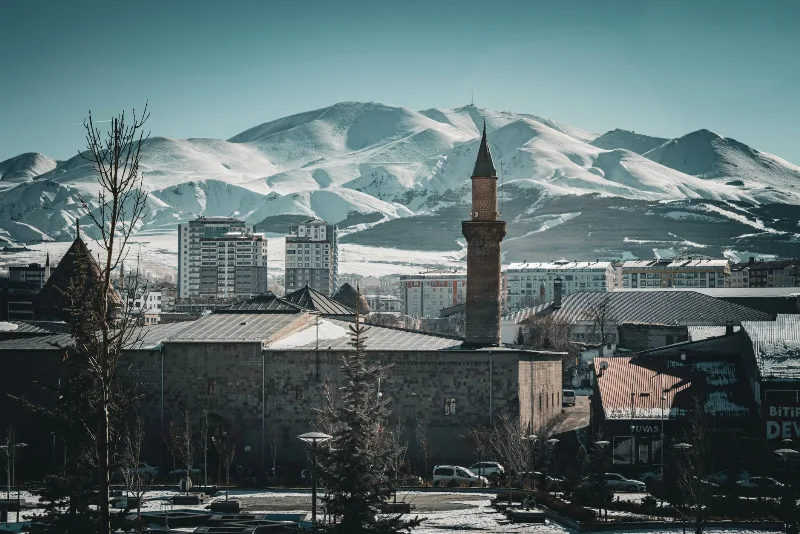
Erzurum
Erzurum is a high-plateau city in eastern Türkiye and the capital of its province, set at roughly 1,900 metres among mountains. It is known for severe winters, the long ski season on Palandöken and a historic centre of Seljuk and Ottoman monuments.
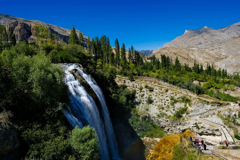
Tortum Waterfall
Tortum Waterfall in Erzurum Province is the outflow of Lake Tortum, a large landslide-dammed lake, and the drop marks where the lake spills over the natural barrier that formed it.
Artvin
Explore Artvin, the northeastern Black Sea region: history, standout sights, landscapes, local food and practical travel advice for an unforgettable journey in Türkiye.
Nature Reserves of the Black Sea Region
Türkiye's Black Sea coast hides a chain of protected landscapes, from glacial lakes in the Kaçkar Mountains to canyons and old-growth forests in Kastamonu and Bartın.
Kaçkar Mountains
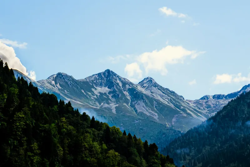
The Kaçkar Mountains form the highest section of Turkey's Black Sea ranges, a glacially sculpted landscape of sharp summits, cirque lakes and high summer pastures.
Kaçkar Mountains: Turkey's Eastern Black Sea Alpine Range
The Kaçkar Mountains form the highest and most glaciated section of Turkey's Pontic range, rising above the eastern Black Sea coast. They combine small glaciers, glacial lakes, high summer pastures and long-distance trekking routes across Rize, Artvin, Erzurum and Bayburt.