
Lake Bafa
Lake Bafa is a brackish lake in southwestern Türkiye, shared between the provinces of Muğla and Aydın. It is the surviving remnant of an ancient Aegean inlet, now enclosed by farmland, the granite slopes of the Beşparmak Mountains and scattered ruins of harbour towns that once stood on open sea.
Lake Bafa (Bafa Gölü) is a brackish lake in southwestern Türkiye, lying on the boundary between the provinces of Aydın and Muğla. Its southern shore falls within the Milas district of Muğla, while the northern and eastern edges belong to the Söke district of Aydın. The lake covers roughly 60 square kilometres and its surface sits only a few metres above sea level, making it one of the largest brackish lakes in the country. Its defining geographical feature is its origin: it is neither a mountain lake nor a simple river-fed basin, but a fragment of the Aegean Sea that was progressively cut off from open water by river sediment. A channel at its western end still links it to the sea and helps regulate its water level and salinity.
Where the Lake Lies
Bafa sits in a shallow basin between two very different landscapes. To the north rises the Beşparmak range, the ancient Mount Latmos, a mass of weathered granite that drops steeply toward the water. To the south and east the land flattens into farmland, olive groves and the floodplain of the Büyük Menderes River, whose delta lies to the northwest. The lake itself is elongated roughly east to west, with several small islands near its centre. The main road corridor between Söke and Milas runs along the southern shore, and the villages of Kapıkırı, Gölyaka and Serçin sit around the water's edge. The wider region is framed by the towns of Söke to the north and Milas to the south, with Bodrum and its coastline further southwest.
How the Gulf of Latmos Became a Lake
In antiquity the basin held a sea inlet known as the Gulf of Latmos, an arm of the Aegean that reached inland between the mountains. Over centuries the Büyük Menderes carried silt into the gulf, building a delta across its mouth and gradually narrowing the connection to the sea. The process continued into the medieval period, when the inlet finally became an enclosed lake. The consequences are visible in the archaeology: ports such as Heraclea by Latmus lost their harbours as the water retreated and the shoreline changed. Today the lake keeps a partly marine character in its chemistry, and the flat, sediment-rich land between the lake and the present coast records the old gulf floor.
The Beşparmak Mountains and the Northern Shore
The northern side of the lake is dominated by the Beşparmak Mountains, whose pale, rounded granite outcrops give the range its Turkish name, meaning "five fingers." The slopes are steep and rocky, rising abruptly from the water, and they are cut by gullies and boulder fields rather than gentle valleys. On these slopes, and in the sheltered hollows between rock formations, are prehistoric rock paintings and carved tombs that show the area was used long before the classical harbour towns appeared. The shoreline beneath the mountains is the most enclosed and least developed part of the lake, while the southern shore is gentler, farmed and easier to move through.
Brackish Water, Birds and Habitats
Because the lake retains a connection to the sea, its water is brackish rather than fresh, and so it does not support the same plant and animal communities as an inland freshwater lake. It nonetheless holds fish and supports waterbirds, and together with the neighbouring Büyük Menderes Delta it forms part of a wider wetland complex used by migrating and wintering species. Cormorants, herons, grebes and diving birds are typical of the lake, while the delta to the northwest is better known for flamingos and other wading birds. The surrounding vegetation is typically Mediterranean, with olive groves and scrub on the lower ground and pines and maquis on the mountain flanks above the water.
Ancient Ruins Around the Shore
The lake's most distinctive feature is the way archaeology and landscape overlap. At Kapıkırı on the southern shore, the ruins of Heraclea by Latmus include stretches of city wall, a theatre and the remains of a temple, all set beside a modern village. The city owed its importance to the sea that once stood here, and its decline followed the loss of the harbour. On one of the small islands in the lake stand the ruins of a monastery, and further traces survive on the surrounding slopes. Rock-cut tombs and inscriptions are scattered across the mountain side above the water, marking a coastline that was busy in antiquity and is now inland.
Seasons and Conditions Through the Year
The climate is Mediterranean, with hot, dry summers and mild, rainy winters. In spring the slopes and farmland around the lake turn green, and the water level is usually at its highest after the winter rains. Summer brings strong heat and little shade along the open southern shore, while the enclosed northern side stays slightly cooler because of the mountains. Autumn is generally calm and clear. Winter can be wet and grey, with occasional storms, but it is also the period when waterbirds are most numerous. Salinity, water level and the extent of exposed shoreline all shift through the year, so the lake does not look the same from one season to the next.
Reaching and Exploring the Area
The lake is crossed by the main road corridor between Söke in Aydın province and Milas in Muğla province, which runs along the southern shore and passes close to several villages. This makes the southern side the natural base for seeing the lake, with the ruins at Kapıkırı the most established point of interest. The northern shore is far more enclosed, reached only by minor roads and tracks that follow the mountain flank. There is no single circuit of the lake, and much of the shoreline is rough, marshy in places or occupied by farmland. Distances are short but travel times can be longer than expected on the smaller roads.
What to Know Before Visiting
The water is brackish and not suitable for drinking. Around the northern mountains the terrain is steep, stony and often loose underfoot, so it should be treated as rough walking country rather than easy ground. Summer heat is a real constraint along the open southern shore, where shade is limited, and water is essential. The lakeside can be muddy or flooded after winter rain, and some tracks become difficult in wet conditions. Visitors should also remember that the villages and ruins around the lake are working places and protected archaeological sites, not landscaped attractions. Because the environment is a wetland with sensitive bird habitat, it is worth keeping a respectful distance from wildlife and staying on existing paths and roads.
Beaches & bays
See the coast →
Related content
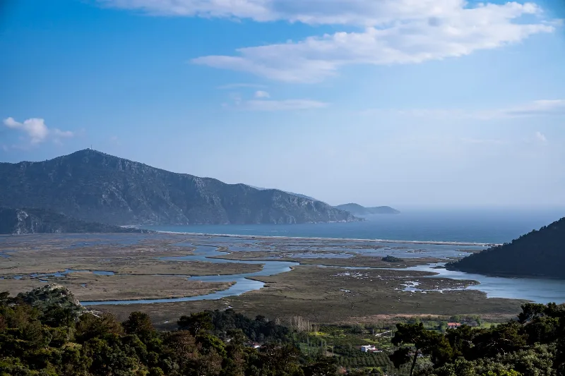
Muğla
Muğla is a captivating province in southwestern Türkiye, renowned for its stunning Aegean coastline and rich cultural heritage.
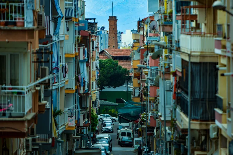
Aydın
Aydın is the inland capital of Aydın Province in Türkiye's Aegean region, recognised for its fig production and its position between the fertile Büyük Menderes valley, the coastal district of Kuşadası and several major ancient sites.
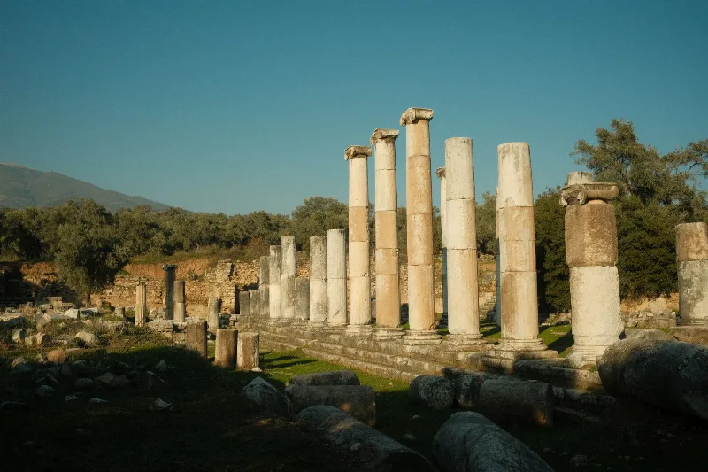
Söke
Söke is an agricultural district in Aydın Province, set on the fertile Büyük Menderes plain near the Aegean coast. It is known for cotton and olive production and provides access to Priene and the Dilek Peninsula National Park.
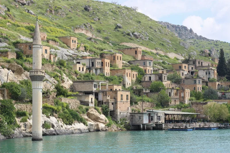
Kapıkırı
Kapıkırı is a small lakeside village in Milas, Muğla, built directly over the ancient city of Herakleia ad Latmum on the southern shore of Lake Bafa. Ancient walls, cut stones and shoreline ruins are woven into the settlement, with the Latmus mountains rising immediately behind it.
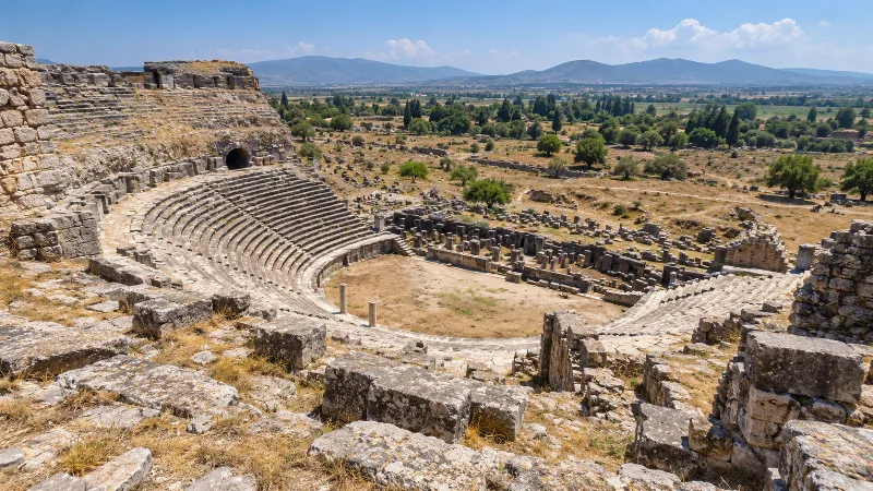
Miletus
Miletus is an ancient Greek city in Aydın Province whose Great Theatre, harbour monuments and Miletian school of philosophy made it one of the defining sites of Ionia — now stranded inland by the Meander River.
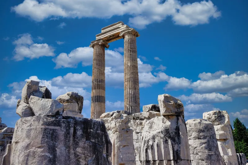
Didim
Didim is a coastal district in Aydın Province on Türkiye's Aegean shore, built around the ancient oracular sanctuary of Didyma and its Temple of Apollo, with the sandy beach of Altınkum at its holiday centre.