
Lake Hazar
Lake Hazar is a deep tectonic lake in Elazığ Province, eastern Türkiye, held in a mountainous basin formed by movement along the East Anatolian Fault Zone and known for its clear, mineral-rich water.
Lake Hazar (Hazar Gölü) is a tectonic lake in Elazığ Province in eastern Türkiye, sitting in a mountainous basin about 25 kilometres south of Elazığ city, close to the town of Sivrice. It is one of the deepest lakes in the country, with a basin that reaches well beyond 200 metres at its lowest point, and its surface lies at roughly 1,250 metres above sea level. The lake is defined less by its size than by its depth, its steep surrounding slopes and the unusually clear, alkaline water that fills it.
Where the Lake Sits
The lake occupies a long, narrow depression running roughly east to west, aligned with the structural lines of the surrounding mountains. Elazığ city lies to the north, Sivrice to the south-west of the lake, and the wider region belongs to the uplands of eastern Anatolia. The basin is enclosed by high ground on most sides, which gives the lake a sheltered character and separates it clearly from the open plains further north. Its position within this mountain setting means that the water surface reflects the surrounding ridges rather than an open horizon, a quality that shapes how the lake reads from almost every angle.
A Basin Formed by Fault Movement
Lake Hazar owes its existence to tectonics rather than to glacial or volcanic action. It lies along the East Anatolian Fault Zone, one of the major active fault systems in Türkiye, and the depression it fills is best understood as a pull-apart basin, a trough created where the crust has been stretched and dropped between shifting fault strands. Because of this origin, the lake is deep and its shores are relatively steep, in contrast to the shallow, gently shelving lakes typical of many other parts of the country. The same faulting that shaped the basin continues to influence the region, and the lake's setting is a direct record of the ground movement that defines this part of eastern Anatolia.
The Water and Its Character
The water of Lake Hazar is notably clear and has a distinctly blue tone, a quality that follows from its depth and from the low levels of suspended material entering the basin. The lake is generally described as alkaline, with a mineral chemistry that differs from that of many freshwater lakes in Türkiye, and it is considered nutrient-poor, which limits the growth of algae and helps preserve its transparency. Its depths are cold and stable, while the surface layer warms through the summer months. Because the basin is deep and steep-sided, the shoreline shifts only modestly between seasons, but the character of the water itself changes noticeably with the year.
Mountains, Slopes and Vegetation
The lake is bordered by high ground, most prominently the Hazarbaba massif to the south, whose slopes rise directly from the water's edge and give the lake its enclosed feel. The surrounding terrain is mountainous and largely dry, with vegetation that reflects the semi-arid climate of the region: sparse scrub, patches of grass and scattered trees on the lower slopes, thinning quickly with altitude. This is not a densely forested lake. Its identity comes instead from the contrast between bare, rocky slopes and the clear water gathered between them, a combination that separates it visually from the greener lake landscapes of western and northern Türkiye.
How the Lake Changes Through the Year
Eastern Anatolia has a continental climate, with cold, snowy winters and hot, dry summers. In winter, snow covers the surrounding ridges and often reaches down toward the shoreline, and the lake can sit beneath overcast skies for extended periods. Spring brings the sharpest change: meltwater from the high ground feeds the basin, the slopes briefly green with new growth, and the light is clear and changeable. Summer is hot and bright, with strong sun on the water and dry, dusty slopes; this is when the lake is most intensely blue. Autumn is calmer and cooler, with softer light and more stable conditions on the surrounding ridges. Because the lake lies at altitude, weather shifts quickly, and the surface can turn rough when wind funnels through the basin.
Reaching and Exploring the Area
The lake is reached from Elazığ, from which a road runs south toward Sivrice and the shoreline. The town of Sivrice sits close to the lake and serves as the main settlement on its edge, making it the natural starting point for any visit. From Elazığ the drive is short, and the eastern end of the lake lies near the road toward the surrounding districts. The terrain around the lake is mountainous and uneven, so movement away from the shoreline generally means walking on steep, rocky ground rather than flat paths. The water is deep and drops away quickly near the shore, and conditions in the basin can change fast, so the lake is best appreciated as a landscape to observe and move through rather than as a gentle, shelving shoreline.
Practical Conditions to Know
Because the lake sits at around 1,250 metres, temperatures are cooler than in the plains below, and winter access can be affected by snow on the surrounding roads and slopes. Summer visits bring strong sun and little shade along much of the shoreline, so exposure is a real consideration. The ground around the basin is often loose and steep, and the drop into the water near the shore is abrupt. Wind can build quickly through the mountain gap occupied by the lake, changing the surface from calm to choppy in a short time. These are natural conditions rather than facilities, and there is no expectation of developed infrastructure along the water itself.
Nearby Natural Context
Lake Hazar sits within a wider landscape of mountains and uplands in Elazığ Province, and its position near Sivrice places it close to other natural features of the region. The city of Elazığ, to the north, is the main point of reference for the area, and the routes that lead south from it pass through the same mountainous terrain that frames the lake. Its proximity to the East Anatolian Fault Zone also connects it, in geological terms, to a broader belt of tectonic landscapes running across eastern Türkiye.
Beaches & bays
See the coast →
Related content
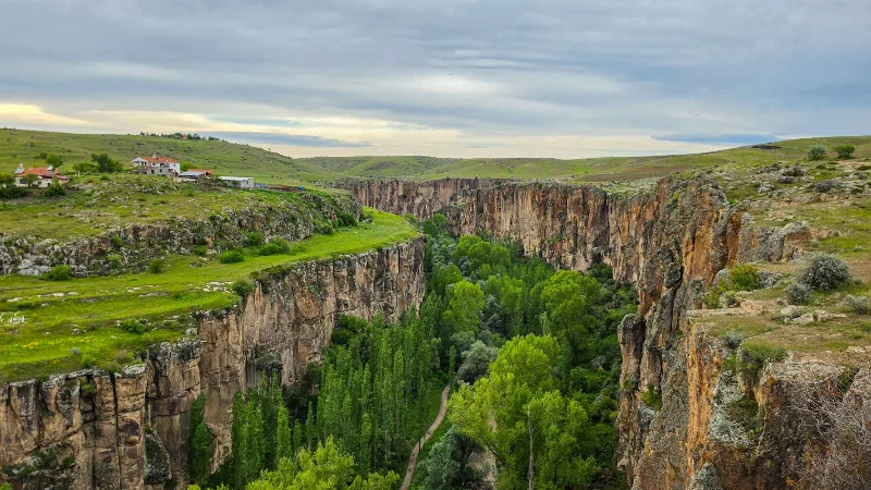
Ihlara Valley
Ihlara Valley is a 14-kilometre canyon in Aksaray Province cut by the Melendiz River, lined with Byzantine rock-cut churches and frescoes. This guide covers its geology, the churches inside it, the walking route and the best time to visit.
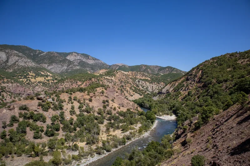
Munzur Valley
Munzur Valley National Park in Tunceli Province protects a deep river gorge in the Munzur Mountains, known for endemic wildlife and its significance to Alevi communities in eastern Turkey.
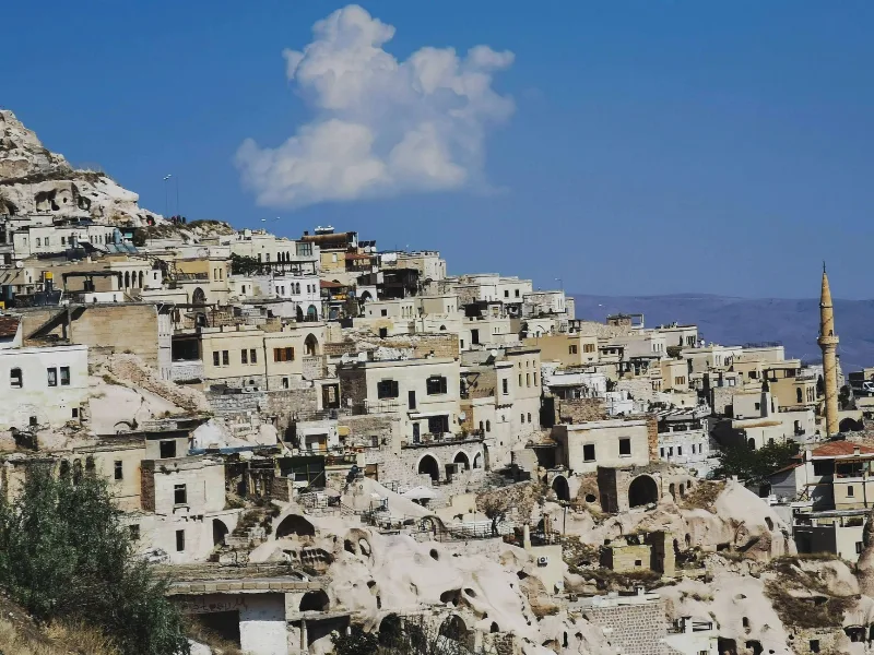
Çavuşin: Cappadocia's Old Cave Village and Its Rock-Cut Churches
Çavuşin is a village in Nevşehir Province, Cappadocia, split between an abandoned settlement of cave dwellings carved into a tuff outcrop and a newer village on the plain below. Its rock-cut Church of St. John the Baptist is among the largest in the region.
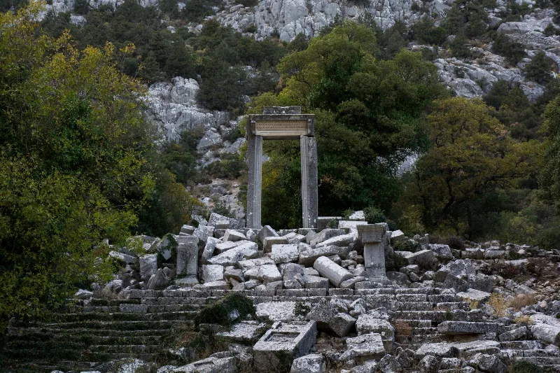
Termessos
Termessos is an abandoned Pisidian city on a mountain plateau inside Güllük Mountain National Park, northwest of Antalya, known for its theatre, temples and rock-cut tombs. Reaching the ruins requires a steep walk.
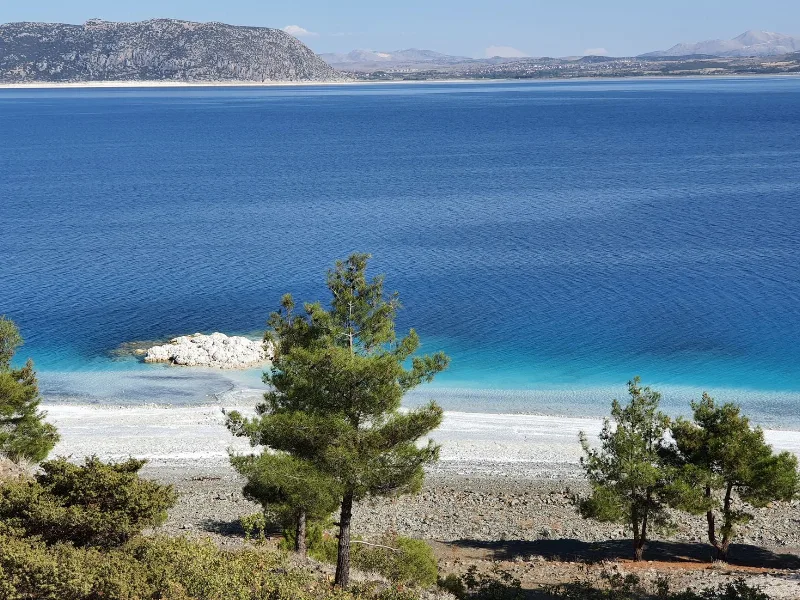
The Serene Lakes of Türkiye
Türkiye’s lakes range from vast soda lakes to salt flats and freshwater basins, each offering calm landscapes and rich wildlife. This page introduces notable lakes across different regions and their seasonal character.
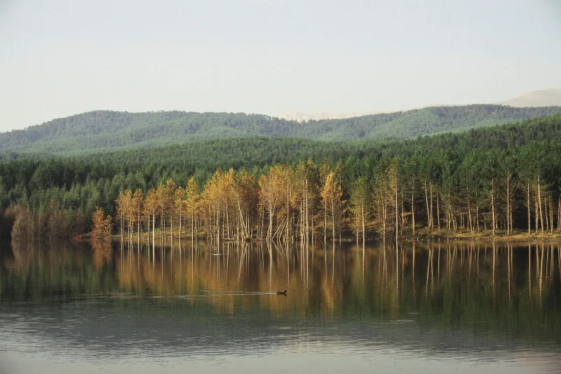
Lake Eber
Lake Eber is a shallow freshwater lake in Afyonkarahisar province, western Turkey, known for its extensive reed beds and as a habitat for numerous bird species.