
Lake İznik
Lake İznik is a large freshwater lake in Bursa Province, northwestern Türkiye, held in a tectonic basin between the towns of İznik and Orhangazi and edged by hills, olive groves and farmland.
Lake İznik (İznik Gölü) is a large freshwater lake in northwestern Türkiye, lying in the Marmara region within Bursa Province. It fills a tectonic basin at roughly 85 metres above sea level, with the district town of İznik at its eastern end and Orhangazi to the west and north. Covering an area of about 298 square kilometres, it is one of the largest freshwater lakes in the country. Unlike the saline lakes of the Anatolian interior, its water is fresh, and its shores are bordered by hills, olive groves and farmland rather than resort development or industry.
Geographical setting
The lake occupies a closed depression in a landscape of low mountains and rolling hills. The Samanlı range rises to the north, while higher ground backs the southern and eastern shores, giving the basin a roughly enclosed character. The town of İznik sits at the eastern end, historically known as Nicaea, and the smaller settlement of Orhangazi lies toward the west. A road follows parts of the shoreline and links the two towns, so much of the lake is visible from the water's edge rather than only from a distance. Between the water and the surrounding ridges there is a narrow belt of cultivated land, with the steepest slopes left to scrub and woodland.
Formation and hydrology
The basin is tectonic in origin, formed by movement along faults in this part of the Marmara region, where the North Anatolian fault system shapes much of the relief. The lake is fed by a number of small streams descending from the surrounding hills and is drained toward the west, its outflow making its way through the valley toward Gemlik Bay and the Sea of Marmara. Reported depths reach around 80 metres in the deepest central part, making the lake considerably deeper than many shallow lowland lakes in Türkiye. Because the water is fresh and the basin is enclosed, its level and clarity respond to rainfall, inflow and the balance between supply and outflow.
Shoreline, vegetation and agriculture
The most characteristic feature of the İznik landscape is the olive. Groves cover the gentler slopes and the terraced ground close to the water, especially on the warmer southern and eastern sides. This olive belt is what visually distinguishes Lake İznik from most other Turkish lakes, whose shores are more often given to reeds, bare steppe or rocky slopes. Cypress trees, pines and mixed scrub appear on the steeper hillsides, while the flatter land near the water is used for orchards and field crops. The shoreline itself shifts between stony or earthen banks, patches of reeds and inlet areas where streams enter.
Wildlife and habitats
The lake supports freshwater fish and is used by waterbirds that feed and rest along its quieter margins. Reedy inlets and shallow bays provide sheltered conditions, while the surrounding groves and woodland give cover for land birds and small mammals. The combination of open water, marsh edges and cultivated slopes creates a mosaic of habitats within a relatively compact basin, which is part of why the area is monitored for its ecological value.
The submerged structure near İznik
A structure of historical interest lies beneath the water close to the eastern shore. In 2014, aerial images revealed the remains of a basilica submerged in the lake a short distance from the İznik shoreline, associated with the period of the First Council of Nicaea in the fourth century AD. It is one of the more unusual features of the lake, sitting under only a few metres of water and visible in outline from above in clear conditions, though it is not an attraction arranged for casual viewing.
How the lake changes through the seasons
The climate here is transitional between Mediterranean and Black Sea conditions: summers are warm and largely dry, winters mild and wet, with rain concentrated in the cooler months. In spring the surrounding hills turn green and the groves flower, and water levels typically reflect the winter rainfall. Summer brings clearer, calmer days, haze over the far shore and a warmer, drier look to the slopes, with the olive canopy showing its pale grey-green. Autumn is the olive harvest period, when the groves are worked and the light softens. Winter can bring grey skies, stronger winds and heavier rain, and occasional cold spells; snow is more likely on the higher ground above the lake than at the shore.
Terrain, access and practical conditions
The lake is generally reached through the İznik–Orhangazi corridor, with the surrounding towns connected to Bursa and to the Yalova and Gemlik routes toward the Marmara coast. Roads run along parts of the shore, but the terrain away from the water rises quickly into steep, scrubby hillsides, so easy walking is mostly limited to the flatter ground near the towns and the cultivated margins. Paths and facilities vary and are not uniform around the lake. Visitors should expect rough ground at the water's edge in places and should treat the lake primarily as a working freshwater basin rather than a managed recreational site; swimming and other water activities should not be assumed to be permitted or safe everywhere.
Conservation and pressures
Lake İznik is an important freshwater resource for the region, and its condition has been the subject of monitoring and conservation attention, particularly in relation to agricultural runoff and pollution. Because the basin is enclosed and the lake is fed mainly by local streams, changes in land use around the shores can affect water quality over time. This makes the balance between olive growing, settlement and the lake itself a continuing concern.
Related natural surroundings
The Samanlı Mountains to the north form the wider natural frame of the basin, offering higher, more wooded terrain above the olive belt. To the west, the drainage valley leads toward the coast at Gemlik Bay and the Sea of Marmara, while the eastern shore connects directly to the historic town of İznik. Together with the surrounding hills, these features make the lake a distinctive freshwater landscape in Bursa Province, defined as much by its olive-covered slopes and tectonic setting as by the water itself.
Beaches & bays
See the coast →
Related content
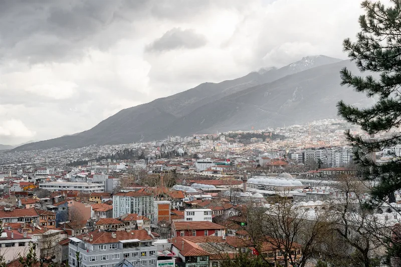
Bursa
Bursa is a major metropolitan city in northwestern Türkiye and the first great capital of the Ottoman Empire, known for its silk heritage, thermal springs and the mountain of Uludağ rising directly behind it.
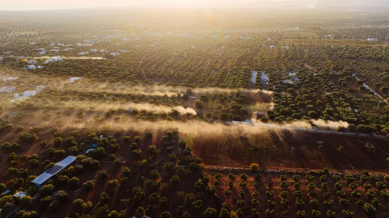
Gemlik
Gemlik is a coastal district of Bursa Province on the Gulf of Gemlik, an inlet of the Sea of Marmara, known for its olive groves, its working port and its position between Bursa and Istanbul.
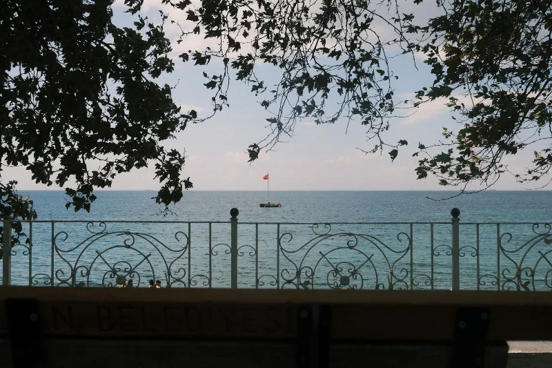
4-Day Marmara Sea Route
A four-day loop around the Sea of Marmara that starts in Istanbul, crosses to Yalova, travels inland to Bursa and finishes among the ruins of Troy and the memorials of the Gallipoli peninsula. The itinerary is built around short, logical daily drives rather than long transfers.
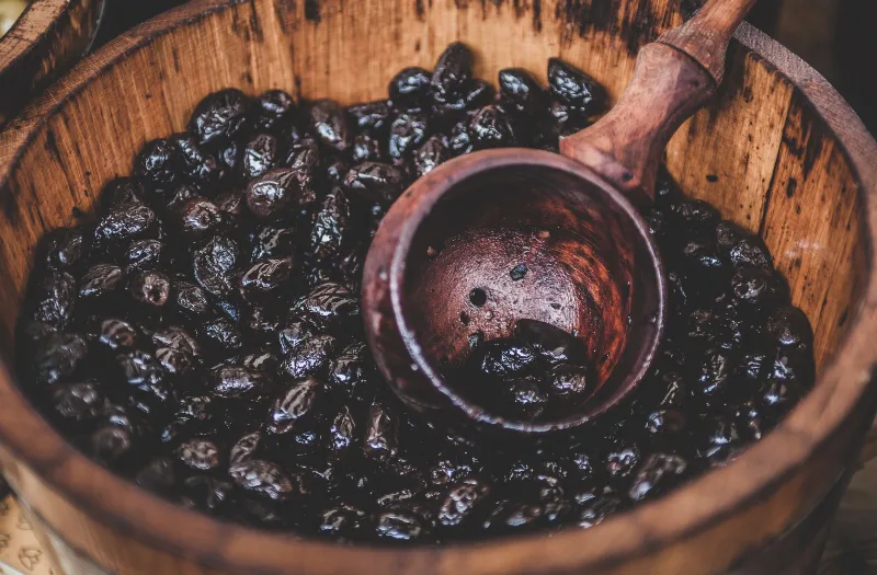
Gemlik Olives
Gemlik olives are the small, dark table olives grown around the Gulf of Gemlik in Bursa province, where the mild climate of the Marmara coast shapes their firm texture and rich, faintly bitter flavour.
Mudanya
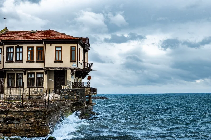
Mudanya is a coastal district of Bursa Province on the southern shore of the Sea of Marmara, known for the house where the 1922 Armistice of Mudanya was signed, its working harbour, and its long shoreline of olive groves and former Greek villages.
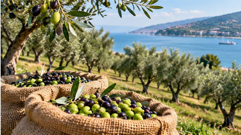
Olive Harvest in Gemlik, Bursa
Each winter, the groves around Gemlik on the Sea of Marmara are stripped of their small dark olives, and the fruit is turned into table olives and oil within days of picking. The harvest normally runs from November into January, and its exact timing depends heavily on how the autumn weather unfolds.