
Gemlik
Gemlik is a coastal district of Bursa Province on the Gulf of Gemlik, an inlet of the Sea of Marmara, known for its olive groves, its working port and its position between Bursa and Istanbul.
Gemlik is a district of Bursa Province in northwestern Türkiye, situated on the southern shore of the Gulf of Gemlik, a deep inlet of the Sea of Marmara. Together with Mudanya, it is one of Bursa's districts with direct access to the Marmara coast, and it functions as both an industrial and an agricultural centre. What most clearly sets Gemlik apart is the combination of a busy port at the head of the gulf and an unusually strong olive culture: the district's name is attached to one of Türkiye's best-known olive varieties, and olive groves cover much of the land behind the town.
The Gulf of Gemlik and the Shape of the District
The gulf is the defining geographical feature. It runs roughly east to west, opening into the Sea of Marmara and narrowing towards its eastern end, where the town of Gemlik sits at the head of the water. The northern side of the gulf belongs to the Armutlu peninsula in Yalova Province, so the body of water Gemlik looks across is bounded by a different administrative region. Behind the town, the land rises into wooded hills that separate the coast from the wider Bursa plain and from Lake İznik further to the southeast.
This setting produces a compact coastal settlement that is squeezed between water and rising ground. The shoreline curves around the harbour, and the built-up area spreads inland and along the coast in either direction. Because the gulf is sheltered, the water is calmer than on the open Marmara coast, a characteristic that has shaped both the port's development and the use of the district's beaches.
A Port Town With a Working Economy
Gemlik is not a resort that happens to have a harbour; it is a harbour town. The port handles general cargo and serves the industrial belt around the head of the gulf, and port-related logistics, manufacturing and storage are visible parts of the local economy. This gives the centre a practical, everyday character rather than a holiday atmosphere, with traffic moving between the port area, the commercial streets and the roads that climb away from the water.
At the same time, the district remains agricultural. The olive is the emblematic crop, but the hinterland also produces fruit and vegetables, and the market life of the town reflects a farming population as much as a port workforce. Visitors looking for a purely picturesque seaside village will find Gemlik more businesslike than expected, while those interested in how the Marmara coast actually works will find it more interesting for exactly that reason.
Olives and the Landscape Behind the Coast
Olive growing is the district's strongest identity. The Gemlik olive is a small, dark cultivar used both for oil and for table olives, and it is planted widely along this stretch of the Marmara coast. Groves occupy the lower slopes and the flatter ground between the hills, giving the countryside around the town a grey-green texture that changes character through the year.
The autumn and early winter harvest is the period when the olive economy becomes most visible, with picking, pressing and curing shaping the rhythm of the villages and the town. Regional produce of this kind is one of the main reasons to spend time in the district rather than simply passing through it, and the olive is the thread that connects Gemlik to the broader food culture of Bursa Province.
The Town Centre and Urban Character
The centre is organised around the harbour and the commercial streets immediately behind it, where everyday shops, banks and municipal buildings sit alongside the waterfront. The seafront itself functions as the town's public space, used for walking and for looking out over the gulf towards the opposite shore. Residential quarters spread back from the water and up the slopes, mixing older low-rise housing with newer apartment blocks.
Gemlik is a district centre with the full set of urban services rather than a tourist village, and its architecture is largely that of a twentieth-century Turkish provincial town: practical, mid-rise and oriented towards the street. The interest lies less in individual monuments than in the way the town turns its back on none of its functions — port, market, olive processing and seaside promenade all occupy the same small area.
Historical Layers
The shoreline here has been settled since antiquity. The ancient city of Kios stood in this area, a port settlement on the Marmara coast that later took the name Prusias ad Mare under the Bithynian kings. The modern town's name is generally explained as deriving from a word for a shipyard or anchorage, a reminder that the harbour has been the reason for settlement here for a very long time.
Gemlik was occupied during the War of Independence and was freed in 1922, after which the population and the built fabric changed considerably. Detailed coverage of the district's antiquities belongs with the historic places of the wider Bursa region; for the purposes of understanding the town, the important point is that Gemlik has always been a landing place, oriented towards the sea rather than inland.
Coastline, Villages and the Surrounding Countryside
The district's coastline extends east and west of the town and includes several small coastal settlements where the hills meet the water. Kurşunlu, to the west of the centre, is one of the better-known of these, with a shoreline used in summer, while Umurbey lies inland and is notable in Turkish public life as the birthplace of Celal Bayar. Küçükkumla, further out along the same coast, is another small settlement tied to the district.
Inland, wooded hills rise quickly, offering walking country and views back over the gulf. The combination of sheltered water, olive groves and forested slopes makes the district a place where coast and countryside are only a short distance apart. Neighbouring destinations frame the picture: Mudanya to the west along the same coast, İznik and its lake to the southeast, Orhangazi along the southern shore of the gulf, and the Armutlu peninsula across the water.
Climate and When to Visit
The district has a Mediterranean-influenced Marmara climate: hot, dry summers and mild, wet winters, with the gulf moderating temperatures slightly compared with inland Bursa. Spring and early autumn are generally the most comfortable periods for walking, for the coast and for exploring the villages, while midsummer is hot and busiest along the shore.
Late autumn and winter have their own interest because of the olive harvest, when the countryside is active and the processing season is under way. Winters are cool and damp rather than severe, and the gulf rarely freezes. Anyone planning a visit around the coast should keep in mind that this is a working shoreline, not a resort strip, and that the sea is at its most inviting in the warmer months.
Getting There and Regional Connections
Gemlik sits on the road network that links Bursa with Istanbul and the Marmara crossings, which is precisely why its port developed here. The town is connected by road to Bursa to the south and to Yalova and the İzmit direction to the north and east, with the gulf forming a natural detour around which traffic must pass. Its position makes it a convenient stop between Bursa and the Istanbul side of the Marmara region.
For planning purposes, Gemlik is best understood as a coastal gateway to the eastern Marmara: close to Bursa's urban core, within reach of İznik's historic centre and lake, and facing the wooded Armutlu peninsula across the water. Visitors who treat it as a base for the surrounding district, rather than as a single-stop destination, will get the most from its combination of harbour, olive country and quiet coastline.
Discover Food in Türkiye
All food →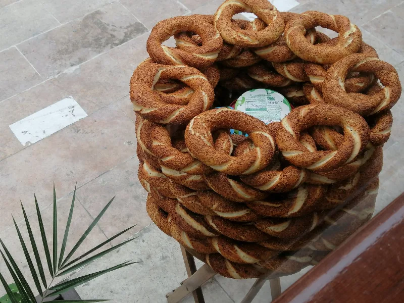
Simit
Simit is a ring-shaped Turkish bread covered in sesame seeds, strongly associated with Istanbul and sold as everyday street food. It is eaten fresh, most often with tea, and has a crisp crust around a chewy crumb.
Explore →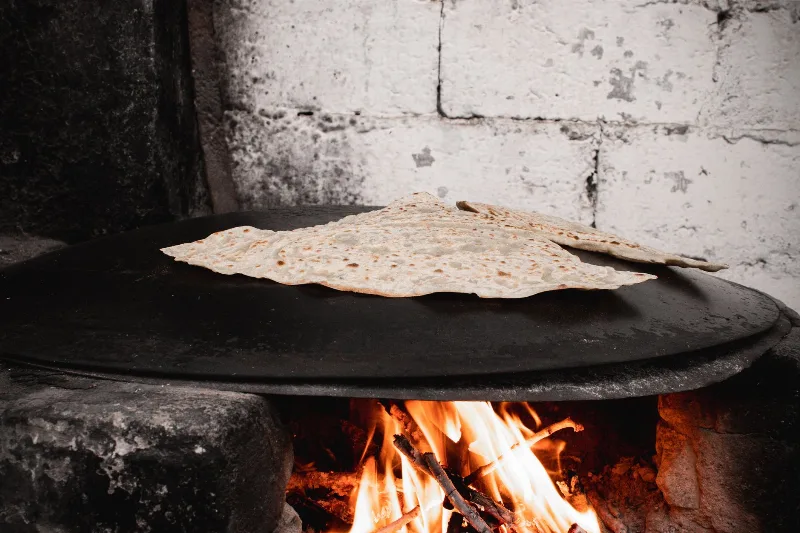
Bazlama
Bazlama is a soft, thick Turkish flatbread made from a leavened dough and cooked on a hot griddle. It is a staple of village baking across Anatolia, eaten warm with butter or used to wrap other foods.
Explore →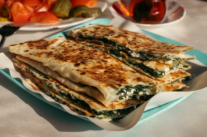
Gözleme
Gözleme is a thin, hand-rolled Anatolian flatbread folded around savory fillings such as cheese, spinach, or minced meat and cooked on a sac griddle. The article covers its regional variations, cooking method, texture, and traditional serving style.
Explore →Related content
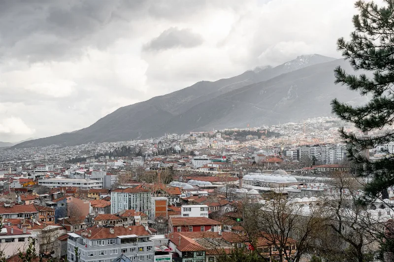
Bursa
Bursa is a major metropolitan city in northwestern Türkiye and the first great capital of the Ottoman Empire, known for its silk heritage, thermal springs and the mountain of Uludağ rising directly behind it.
Istanbul
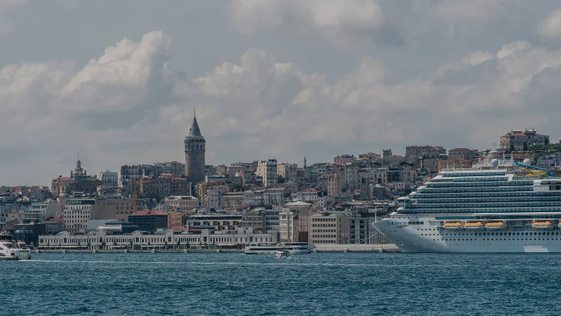
Istanbul is Türkiye's largest city and the country's only metropolis that spans two continents, divided by the Bosphorus strait into a European and an Asian half. Its long run as an imperial capital left a historic core of palaces, mosques and bazaars that still shapes the city's identity.
Mudanya
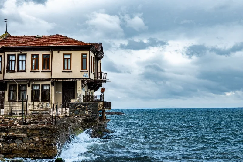
Mudanya is a coastal district of Bursa Province on the southern shore of the Sea of Marmara, known for the house where the 1922 Armistice of Mudanya was signed, its working harbour, and its long shoreline of olive groves and former Greek villages.
Olive Harvest in Gemlik, Bursa
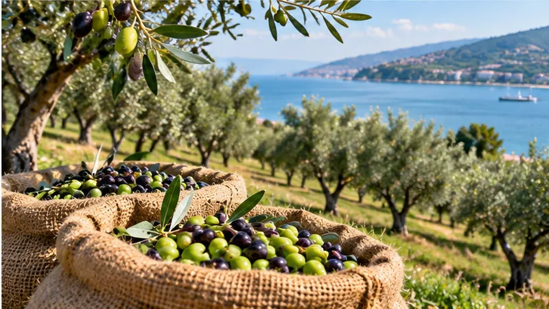
Each winter, the groves around Gemlik on the Sea of Marmara are stripped of their small dark olives, and the fruit is turned into table olives and oil within days of picking. The harvest normally runs from November into January, and its exact timing depends heavily on how the autumn weather unfolds.
Gemlik Olives
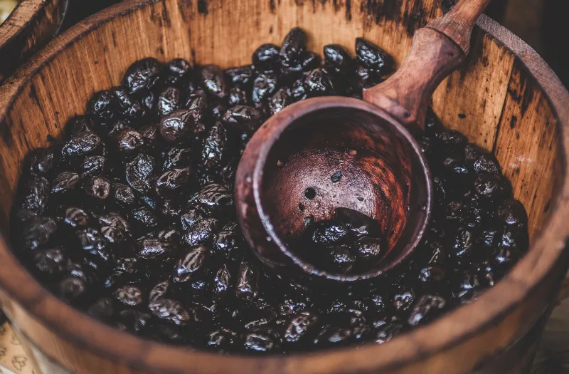
Gemlik olives are the small, dark table olives grown around the Gulf of Gemlik in Bursa province, where the mild climate of the Marmara coast shapes their firm texture and rich, faintly bitter flavour.
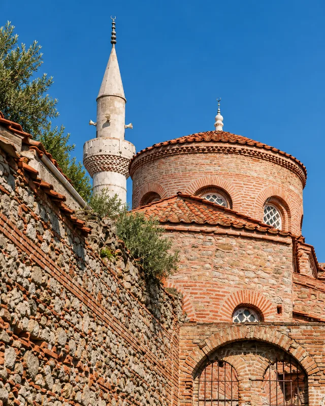
Trilye
Trilye, also known as Tirilye or Zeytinbağı, is a coastal town in Mudanya, Bursa, with a rich Greek heritage, traditional stone houses, and extensive olive groves.