
Lake Uzungöl
Lake Uzungöl is a landslide-dammed lake in Çaykara district, Trabzon Province, sitting on the floor of a steep, forested valley in Türkiye's Black Sea region.
Lake Uzungöl is a landslide-dammed lake in Trabzon Province, in the Black Sea region of north-eastern Türkiye. It lies in Çaykara district, on the floor of a valley that is closed in by forested ridges rising steeply on both sides. The setting is not a wide open basin but a confined mountain valley, and the lake itself is an elongated sheet of water that gave the place its name: Uzungöl means "long lake" in Turkish. A small settlement of the same name sits beside the water, but the defining feature of the location is the lake and the valley that holds it.
Where the Lake Sits
Uzungöl occupies the lower part of a valley system that drains northward toward the Black Sea coast, in the inland mountains behind the coastal town of Of. The lake lies at roughly 1,090 metres above sea level, a height at which the Black Sea's humid air still delivers heavy rainfall and cool temperatures through much of the year. The valley walls climb away sharply from the shoreline, so the lake reads as a dark, still surface pressed between green slopes rather than as an open plain.
The broader region is part of the eastern Black Sea mountains, a belt of steep, wet, forested terrain that continues east toward the Kaçkar range. This geography — high relief, abundant moisture and unstable slopes — is exactly what produced the lake in the first place.
How a Landslide Built the Lake
Uzungöl is a landslide lake, a body of water formed when a mass of earth and rock slid down a valley slope and blocked the drainage running through it. When the natural channel was stopped, water backed up behind the debris and pooled in the hollow above the blockage, creating the lake that exists today. This type of formation is characteristic of the Black Sea mountains, where steep gradients, deep weathered material and constant rain combine to trigger slope failures.
The result is a landscape where the lake is not the product of glacial scouring or tectonic sinking but of a single, geologically recent event that reshaped the valley floor. The dam of loose material and the water held behind it remain the central features of the site.
Forest, Water and Vegetation
The slopes around Lake Uzungöl are densely wooded. Conifers such as spruce and fir occur with broadleaf trees including beech and alder, and the damp undergrowth is thick with ferns, mosses and flowering shrubs. This mix reflects the humid climate of the eastern Black Sea, where vegetation grows quickly and the valley stays green for most of the year.
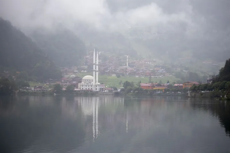
The lake is fed by streams descending from the surrounding highlands, and its water is generally cool and calm. Because the valley is narrow, the forest reaches almost to the water's edge in places, and the reflection of the slopes on the surface is one of the most consistent visual features of the site.
How the Landscape Changes Through the Seasons
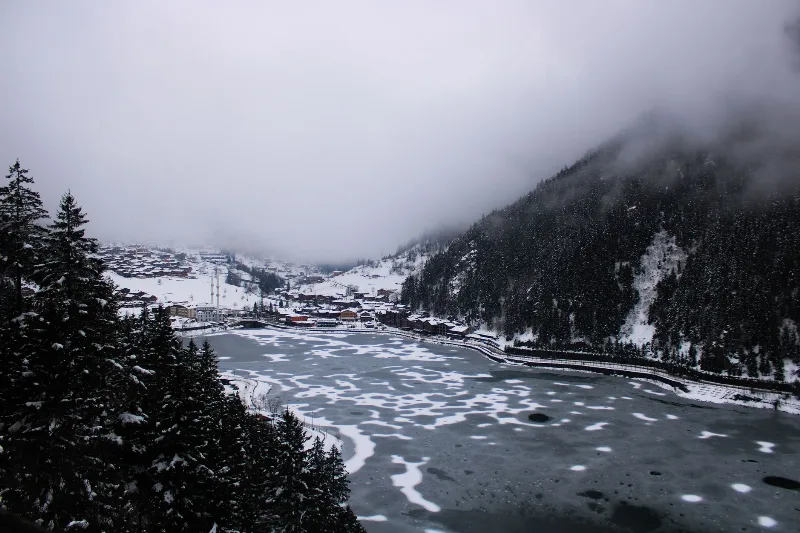
Spring brings snowmelt from the higher ground, raising water levels and turning the valley a vivid green. Summer is the mildest and most settled period, with lush foliage, long daylight and frequent but short rain showers typical of the Black Sea climate. Autumn shifts the broadleaf trees toward yellow and copper tones, contrasting with the darker conifers. Winter covers the upper slopes in snow and often reaches down to the valley, reducing access and lowering temperatures sharply. The lake's appearance therefore changes markedly across the year, from a green summer surface to a snow-framed winter scene.
Terrain and the Valley Floor
The valley floor and the area immediately around the lake are relatively level compared with the surrounding ridges, which are steep and heavily wooded. Higher up, the ground becomes rocky and exposed, with thin soils and pronounced gradients. Because much of the terrain rises quickly from the shoreline, the practical experience of the site is dominated by the contrast between the flat, quiet lakeside and the abrupt slopes above it. Conditions underfoot change with rainfall, which is frequent here.
Weather, Access and Practical Conditions
The eastern Black Sea climate means rain in every season and cool temperatures even in summer, so layered, water-resistant clothing is sensible. The lake is reached by road from the coast through Çaykara district; the route climbs steadily through the valley and involves winding mountain roads. Fog and rain can reduce visibility at higher elevations, and winter snow can affect driving conditions. Visitors should expect a humid, changeable environment rather than a dry alpine one, and should plan for cooler weather than on the coast below.
Nearby Natural Areas
Lake Uzungöl sits within a wider network of valleys and highlands. The upper reaches of the surrounding drainage lead toward the high pastures and ridges of the eastern Black Sea mountains, and further east lie the higher summits of the Kaçkar range. The coastal side of Trabzon Province, with its own wet, green landscapes, lies to the north. These neighbouring areas share the same humid mountain character, and together they form the natural context in which the lake is best understood.
Beaches & bays
See the coast →
Related content
Uzungöl
Uzungöl is a highland village in Trabzon's Çaykara district, wrapped around a dark mountain lake held back by a landslide dam and surrounded by dense Black Sea forest.
Trabzon
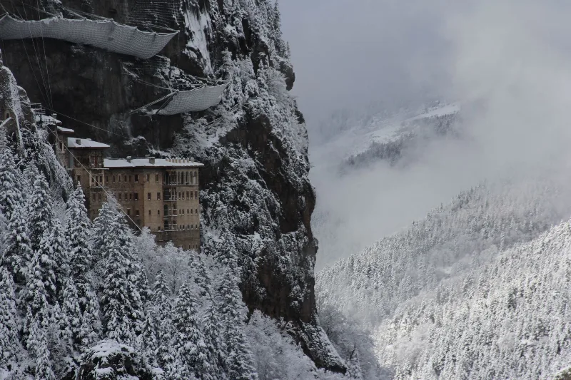
Trabzon is a rain-washed port city on Türkiye's eastern Black Sea coast, framed by the cliffside Sumela Monastery and slopes of tea. Byzantine and Ottoman layers sit close to highland valleys just inland.
3-Day Trabzon and Uzungöl Route
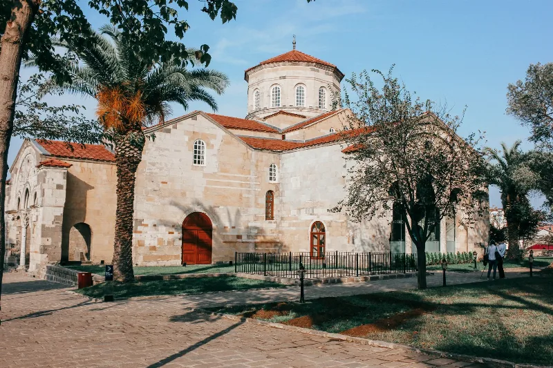
This 3-day route in Türkiye's Eastern Black Sea region starts and ends in Trabzon, visiting Hagia Sophia, Sümela Monastery, and Uzungöl Lake. It blends city sightseeing, mountain driving, and lakeside relaxation.
Uzungöl and Surrounding Nature
Uzungöl is a forest-fringed mountain lake in Trabzon province, where the green highlands of Türkiye's Black Sea region meet mist, timber villages and quiet valleys.
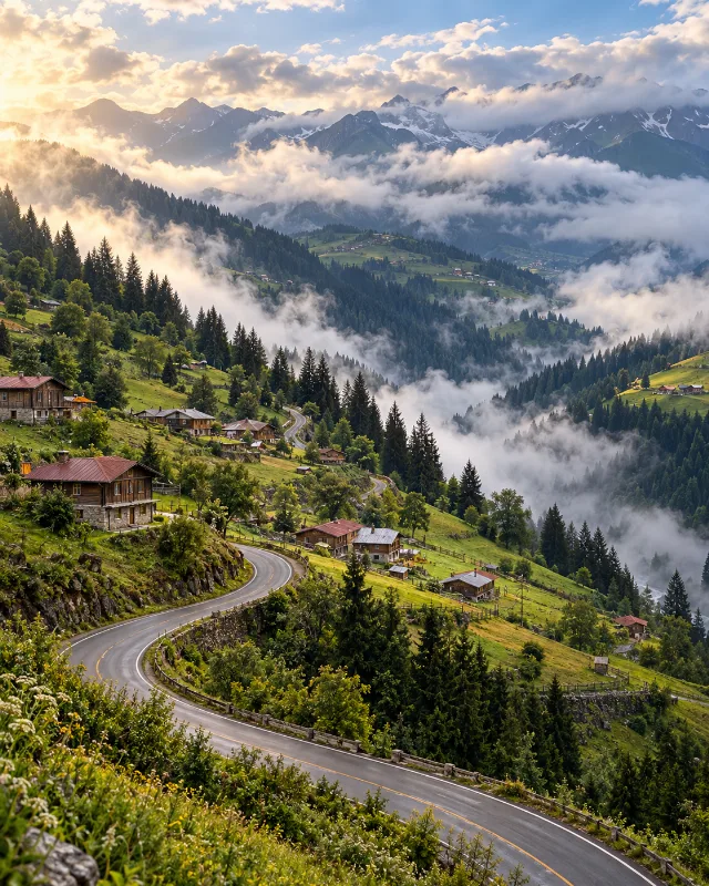
5-Day Eastern Black Sea Route
A five-day journey from Trabzon through Uzungöl, Rize, Çamlıhemşin, Ayder, Borçka and Şavşat, combining Black Sea culture with forests, lakes and highlands.
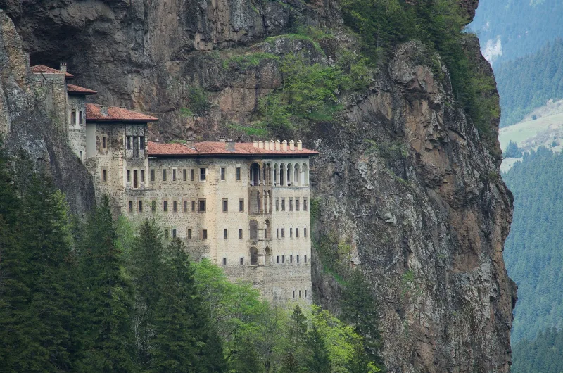
7-Day Eastern Black Sea Highlands Route: Trabzon to Artvin
A seven-day driving route through the Eastern Black Sea highlands, from Trabzon and Sumela to Uzungöl, Ayder, the Kaçkar Mountains and the forests of Şavşat, ending at Artvin.