
Mount Ida
Mount Ida, called Kaz Dağı in Turkish, is a forested massif in Balıkesir Province on the Biga Peninsula, rising from the Gulf of Edremit coast to a summit of about 1,774 metres and known for its endemic fir forest.
Mount Ida, known in Turkish as Kaz Dağı, is a forested mountain massif in Balıkesir Province in northwestern Türkiye. It rises on the Biga Peninsula directly behind the northern shore of the Gulf of Edremit and falls away to the south toward the plains around Bayramiç. Its highest summit, Karataş Tepe, reaches about 1,774 metres, which makes it the tallest mountain of the peninsula. Because the massif stands apart from other uplands, it reads as a single green dome above the coast when viewed from the gulf. The name Ida comes from the Iliad, and the mountain is one of the few natural landmarks in Türkiye whose ancient name is still widely used internationally.
Where Mount Ida Stands
The mountain lies across the districts of Edremit and Bayramiç in Balıkesir Province, with its northern and western slopes facing the Aegean coast. The coastal towns of Akçay, Güre, Altınoluk and Küçükkuyu sit at the foot of the northern flank, while the southern side is more enclosed and is approached from the interior around Bayramiç. The relief is abrupt: the land climbs from sea level to more than 1,700 metres within a short horizontal distance, so temperature, rainfall and vegetation change sharply between the shoreline and the upper slopes.
Topography and Drainage
Mount Ida is not a single ridge but a compact group of summits separated by steep valleys. Short, fast streams radiate outward from the high ground, cutting gullies into the flanks and feeding the coastal plain and the interior. On the northern and eastern sides these streams descend toward the Gulf of Edremit and the Edremit plain, an area dominated by olive groves. In the Iliad, two rivers, the Scamander and the Simois, are described as flowing from Ida; the Karamenderes, identified with the ancient Scamander, has its headwaters in this mountain region and crosses the plain toward the Dardanelles. The steep gradients and dense cover mean that the interior of the massif remains difficult country rather than open walking terrain.
The Kazdağı Fir and Vegetation Bands
The mountain's most distinctive natural feature is its fir forest. The Kazdağı fir, Abies nordmanniana subsp. equi-trojani, is endemic to this massif and grows in the upper elevations, giving the summit zone a dark, cool character that is unusual for the Aegean coast. Below it lies a sequence of vegetation bands shaped by altitude and aspect: Mediterranean maquis and olive groves near the coast, then oak and black pine woodland, with chestnut stands in the middle elevations and patches of beech in the higher, moister hollows. This layering over a short vertical distance is what separates Mount Ida from the generally drier hills of the surrounding Biga Peninsula.
Wildlife and Habitats
The combination of dense forest, steep relief and a wide altitudinal range supports varied wildlife. Wild boar and fox are common on the wooded slopes, and the mix of closed canopy and open gaps attracts a range of raptors and woodland songbirds. The fir belt, with its deep shade and damp ground, forms a habitat that is not widely repeated elsewhere in the region. The mountain is also known locally for the cool, clean air of its upper forest, a quality that follows from the altitude and heavy tree cover rather than from any single feature.
Mount Ida in Ancient Tradition
The mountain's identity is inseparable from the Iliad. In the epic, Zeus watches the Trojan War from the peaks of Ida, and the highest point, called Gargarus, is described as his vantage point. The judgment of Paris is also set on Ida, and the mountain was linked to the cult of the Mother Goddess, worshipped in the region as the Idaean Mother. Ancient authors recorded an altar of Zeus on the summit. These traditions explain why the classical name survives so strongly alongside the Turkish Kaz Dağı.
Seasons and Weather
Mount Ida has a Mediterranean climate with strong altitude effects. Summers are hot and dry on the coast, while the upper slopes stay cooler and hold more moisture. Winters are mild and wet at sea level but cold higher up, and the summit zone is typically snow-covered from around December until March, sometimes longer. Spring brings flowing streams, fresh foliage and wildflowers to the lower and middle slopes, and mist often clings to the forest in spring and autumn. Autumn is generally clear and dry, with the chestnut and other deciduous stands turning before the fir belt holds its dark green.
Reaching and Exploring the Area
The mountain is reached from the coastal side through Edremit, Akçay, Güre, Altınoluk and Küçükkuyu, and from the south through Bayramiç. Roads climb a certain distance into the wooded zone, after which the higher ground is essentially walking country, with steep gradients and dense forest. Weather changes quickly at altitude, and cloud can reduce visibility on the upper slopes even when the coast is clear. Anyone heading above the road level should be prepared for rough, uneven ground, cool temperatures and limited shelter, and should treat the fir belt and summit area as remote rather than easily accessible terrain.
Protected Status
Kazdağı National Park was established in 1993 and covers roughly 21,000 hectares of the massif, protecting the fir forest, the vegetation bands and the main habitats. The park status recognises the mountain as an area of national natural value, and the endemic fir in particular is the central object of protection. Conservation rules apply across the protected zone, so conditions on the ground should be checked before any visit to the upper slopes.
Nearby Natural Places
The Gulf of Edremit coastline at the foot of the mountain forms the closest natural counterpart to the massif, with a long shoreline backed by olive groves. The Karamenderes plain and its river continue the landscape southward and eastward, linking the mountain to the wider Troad. Other uplands of the Biga Peninsula lie further west and north, and together with Mount Ida they make up the peninsula's scattered mountain geography.
Beaches & bays
See the coast →
Related content
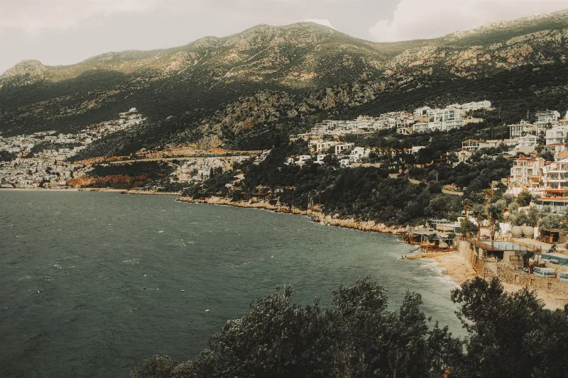
Küçükkuyu
Küçükkuyu is a coastal town in Çanakkale Province, Turkey, at the foot of Kazdağı and surrounded by olive groves. Known for its seafood and proximity to ancient Assos, it offers a mix of Aegean coastline and mountain scenery.
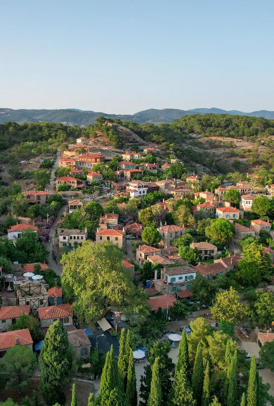
Adatepe
Adatepe is a stone-built mountain village in the Ayvacık district of Çanakkale, set on the Aegean slopes of Kazdağı above Küçükkuyu, known for its preserved stone houses, olive groves and the Zeus Altar viewpoint overlooking the Gulf of Edremit.
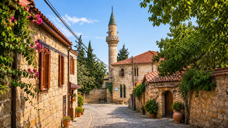
Yeşilyurt: A Stone Village on the Slopes of Kazdağı, Çanakkale
Yeşilyurt is a traditional mountain village in the Ayvacık district of Çanakkale, built on the slopes of Kazdağı and known for its stone houses and olive oil.
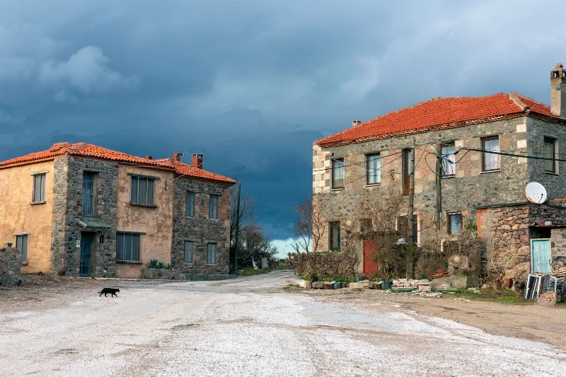
Babakale
Babakale is a village in Ayvacık, Çanakkale, standing at Cape Baba, the westernmost tip of the Anatolian mainland, where an 18th-century castle overlooks a small fishing harbour and olive-covered hills.
Assos
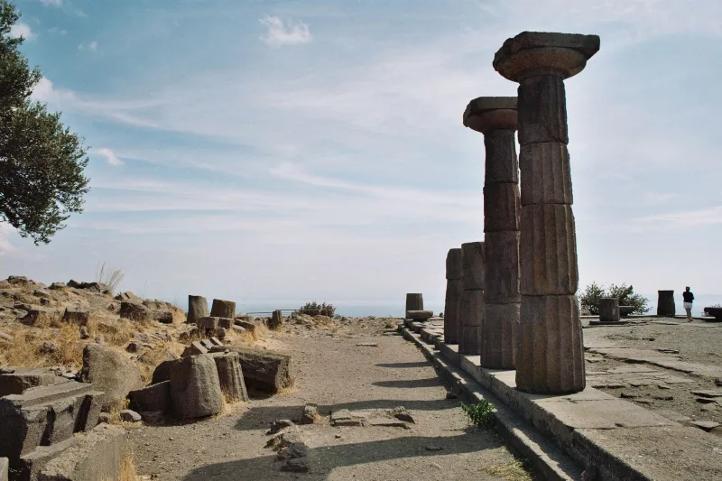
The ancient Greek city of Assos in Çanakkale, Türkiye, is defined by its sixth-century BC Temple of Athena, kilometres of surviving walls and a small Aegean harbour. Here is how the site is arranged and what a visit involves.
The Lush Olive Groves of Aegean Türkiye
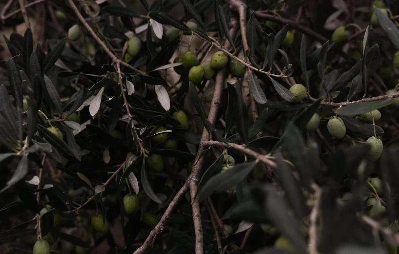
Silver-green groves stretch along the Aegean coast of Türkiye, shaping the region's landscape, cuisine and seasonal traditions from Ayvalık to Bodrum.