
Adrasan
Adrasan is a small coastal village in Antalya's Kumluca district, built around a sheltered bay where pine-covered hills meet a long beach. It is a stop on the Lycian Way and a starting point for boat trips along the surrounding coves.
Adrasan is a coastal village in the Kumluca district of Antalya Province, on the southwestern coast of Türkiye. It is arranged around a wide, south-facing bay at the point where the Adrasan stream reaches the Mediterranean, and it is also known by the older name Çavuşköy. Low buildings stand behind a long beach, pine-covered hills rise almost directly above them, and the settlement has kept the scale of a village rather than a resort. Its defining feature is the bay itself: a sheltered inlet that breaks up an otherwise rocky stretch of the Lycian coastline and provides both a usable beach and calm water close to shore.
Where Adrasan Lies on the Lycian Coast
The village sits roughly 100 kilometres southwest of Antalya city and about 30 kilometres south of Kumluca, the district town it belongs to. This part of the coast runs between the Kemer and Olympos area to the north-east and the Finike and Kumluca plain to the north-west. The bay opens to the south, so it receives sunlight for most of the day and is exposed when the wind shifts. Behind the beach the land climbs steeply into the foothills of the western Taurus mountains, and the valley of the Adrasan stream cuts inland between them before the road turns north towards Kumluca. Because flat ground is limited to a narrow strip between the water and the hills, Adrasan is long and thin rather than compact, with the beach acting as its main open space.
A Village Shaped by the Bay and the Valley
The layout of Adrasan is decided almost entirely by its geography. Buildings are strung along the back of the beach and partway up the lower slopes of the valley, where small plots, low garden walls and the plastic-covered greenhouses typical of the Kumluca area take up the level ground. The village has two distinct moods: the waterfront, where the beach meets the stream mouth and boats are pulled up on the shingle, and the inland lanes, where houses sit among gardens and the sound of the sea fades quickly. Residential streets are narrow and mostly quiet outside the summer months, and the settlement is small enough that a walk from one end to the other takes well under an hour. Nothing here is high-rise; the built character is low, spread out and tied to the curve of the bay.
What Sets Adrasan Apart
Several places on this coast have a similar combination of mountains, pine forest and sea, so the differences matter. Unlike the large resort centres further east, Adrasan has grown without a grid of large buildings, and unlike the villages of Olympos and Çıralı to the north, its identity is not tied to a major ancient ruin inside the settlement. What distinguishes it is the size and shelter of the bay together with the beach that runs along it — a broad strip of sand mixed with pebbles that takes a good half hour to walk from end to end. Pine forest comes down close to the water on the slopes at either side, and the stream that crosses the beach creates a small, changing channel at one end. The result is a place that reads as a working coastal village with a seasonal tourist season layered on top, rather than a purpose-built holiday town.
Walking Through the Village
A walk around Adrasan is straightforward and does not require planning. From the beach, lanes lead inland past walled gardens, small houses and plots under cultivation, before narrowing as they climb towards the valley. The most rewarding direction is along the shoreline itself, where the view back towards the village shows how the buildings follow the curve of the bay and how quickly the hills close in behind them. On the western side, paths continue past the stream mouth towards rougher ground and the beginning of the coastal trail. The terrain is generally flat near the water, but any route heading inland becomes steep within a short distance. Footwear that handles pebbles and loose stone is more useful here than sandals, particularly if you intend to walk beyond the beach.
The Lycian Way and the Terrain Behind the Coast
Adrasan is a recognised stop on the Lycian Way, the long-distance walking route that follows the Teke Peninsula. The trail is marked with red and white paint flashes on rocks and posts, and it enters the village from the mountains behind it. Heading north-east, the route climbs over the shoulder of the ridge towards the Olympos and Çıralı area; heading west, it continues along the coast towards Karaöz and eventually to Cape Gelidonya and Finike. These sections are rocky, often shaded by pine, and considerably more demanding than walking on the beach — the climbs are steep, the surface is loose in places, and there is very little shade on exposed stretches. Water sources along the trail are limited, so most walkers carry their own. The surrounding hills are covered with maquis and pine forest, and the higher ground gives wide views back over the bay.
The Sea, the Coves and Suluada
The water inside the bay is generally calm, which is one reason the inlet has long been used as an anchorage. Beyond the headlands, the coast becomes a series of small coves and rocky points that are difficult to reach on foot but easy to visit by boat. The best-known destination is Suluada, a small uninhabited island offshore with pale sand and clear water, which is reached on day trips that leave from the beach in the warmer months. Because the island has no permanent settlement, visits depend on sea conditions and the season. Swimming inside the bay is the simpler option, and the beach shelves gradually in most places, though the surface underfoot is pebbly rather than smooth.
Historical Background of the Coast
This shoreline belonged to Lycia and later passed through Roman and Byzantine hands, and the wider region is dense with ancient sites: Olympos and the burning gas vents at Yanartaş lie to the north-east, while Phaselis, Myra and Limyra are further along the same coast. Adrasan's own ancient identity is not securely documented, but the bay's value as a sheltered harbour on an otherwise exposed coastline is easy to understand, and the valley behind it has clearly been settled and farmed for a long time. A more recent and well-documented piece of history sits just to the south: the Bronze Age shipwreck found off Cape Gelidonya, one of the oldest known wrecks in the world, which confirms that this stretch of water was already carrying trade thousands of years ago. Cape Gelidonya, the southern tip of the peninsula, still carries a lighthouse on its headland.
Getting to Adrasan
The village is reached by road only. The nearest airport is Antalya, and the usual approach is along the coastal highway that passes through Kemer and Kumluca; from that main road, a turn-off leads south through the valley to Adrasan. A second, slower route comes over the mountain from the Olympos and Çıralı side, and it is steep and winding. Kumluca is the transport hub for the district, and local minibuses connect the village with the town. Drivers should expect narrow lanes and limited space near the beach in high season, and anyone relying on public transport should plan around the fact that services thin out considerably outside the summer.
When to Visit
Late spring and early autumn are the most comfortable periods. From roughly May to June the sea is warm enough for swimming, the hills are still green and daytime temperatures remain manageable. September and October bring similar conditions with quieter beaches. July and August are hot and humid, the beach fills up, and walking on the Lycian Way becomes genuinely difficult in the middle of the day. Winter is mild but wet, the village becomes very quiet, and many seasonal businesses close, which changes the atmosphere considerably. Anyone visiting primarily to walk should avoid the height of summer and start early in the day.
Practical Points Before You Go
Adrasan is small, so expectations should match its size. Banking, larger shops and medical facilities are concentrated in Kumluca rather than in the village itself. The beach is pebbly in places, so water shoes and a mat are useful. There is no shade on the open sand, and the sun is strong from late morning onwards. Mobile coverage is generally available, but paths inland and along the coast can be rough and poorly lit, so walking after dark is best avoided. If you plan to hike any part of the Lycian Way, carry more water than you think you need, wear shoes with grip, and let someone know your route.
Nearby Places on the Same Coast
Adrasan works well as a base for the surrounding area. To the north-east, the ancient city of Olympos and the village of Çıralı sit at the end of a mountain road, and the permanent flames of Yanartaş are found above them. To the north and west, Kumluca and the larger town of Finike serve the agricultural plain. South along the coast, Karaöz is the last settlement before Cape Gelidonya and its lighthouse, and the offshore island of Suluada is reached by boat from Adrasan's beach. Further east, Kemer and the ruins at Phaselis belong to the same coastal route, and all of these places are linked by the road and trail network that follows the Lycian shore.
From the land
Find All →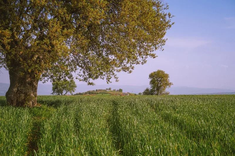
Bursa Chestnuts
Bursa chestnuts are sweet, starchy nuts grown on the sloping terrain of Bursa province in northwestern Türkiye, where a temperate climate supports chestnut trees and an autumn harvest.
Explore →
İpsala Rice
Grown on the river-fed alluvial plain around İpsala in Edirne province, İpsala rice reflects the landscape of Thrace: flooded paddies, warm summers and a long local milling tradition.
Explore →
Aydın Figs
Aydın figs are the dried figs of Türkiye's Aegean interior, grown in the valleys around the Büyük Menderes River and prized for their sweetness, soft texture and pale amber colour.
Explore →Related content
Antalya
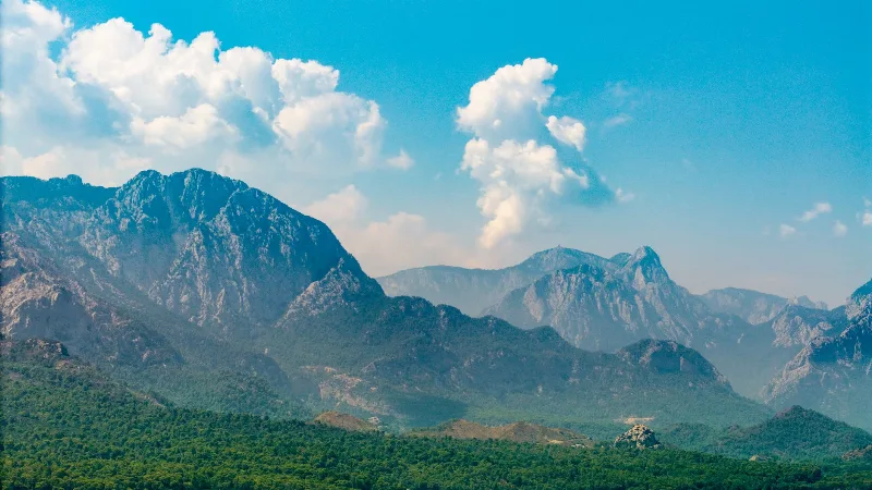
Antalya offers a unique blend of vibrant history and stunning natural beauty, making it a must-visit destination in Türkiye.
Kemer
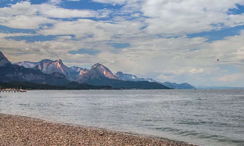
Kemer is a coastal district of Antalya Province on Türkiye's Mediterranean shore, known for its yacht marina, pebbly beaches and its position between the Beydağları mountains and ancient Lycian sites such as Phaselis.
Olympos
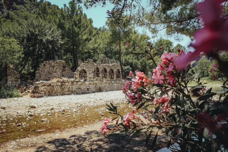
Olympos is an ancient Lycian city in Antalya Province, Türkiye, whose ruins stand on both banks of a wooded river valley. Once a member of the Lycian League and later a Roman harbour town, it is best known for its theatre, baths and Lycian sarcophagi, and for the naturally burning Chimaera flames on the mountain above.
5-Day Antalya to Fethiye Coastal Route
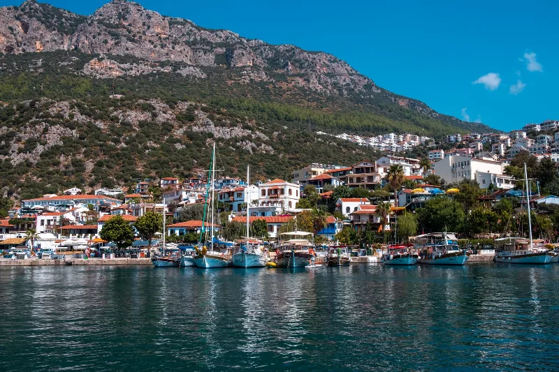
A five-day driving itinerary along Turkey's Mediterranean shore, linking Antalya, Phaselis, Olympos, Demre, Kekova, Kaş, Kalkan, Patara and Fethiye. The route is linear, coastal for most of its length, with short inland detours to Lycian ruins.
Olympos
Olympos is a Lycian and Roman-era city on the Antalya coast, where overgrown ruins share a river valley with a Mediterranean beach and the perpetual flames of Yanartaş burn on the slope above.
Çıralı
Çıralı is a small protected coastal settlement in Antalya Province, where a loggerhead turtle nesting beach meets the Lycian and Roman ruins of Olympos.