
Ordu
Ordu is a Black Sea city in northern Türkiye and the centre of Ordu Province, built on a narrow coastal strip between the sea and the Pontic Mountains. It is best known for hazelnut production and for the panoramic views from Boztepe above the city.
Ordu is a city on the Black Sea coast of northern Türkiye and the administrative centre of Ordu Province. It occupies a narrow coastal strip between the sea to the north and the steep, forested slopes of the Pontic Mountains to the south, a position that gives the settlement its long, linear shape. What separates Ordu from most other Black Sea towns is hazelnut production: the province is one of the leading hazelnut-growing areas in Türkiye, which is itself the world's largest producer of the crop, and hazelnuts shape both the local economy and the look of the surrounding hillsides.
Location and geographical setting
Ordu faces the open Black Sea and is backed almost immediately by rising terrain. The city has little flat land, so it stretches east–west along the coast and climbs in terraces up the lower slopes. The hinterland quickly becomes mountainous, with deep valleys, fast-flowing streams and dense broadleaf forest. This contrast between a busy shoreline and an abrupt green wall behind it defines the everyday geography of Ordu. The province extends well beyond the city, reaching south into high inland districts and west and east to neighbouring coastal towns.
Hazelnuts and the regional economy
Hazelnut orchards cover much of the province's lower hills and are worked by families across the region. The harvest typically falls in late summer, when the slopes above the coast are busy with collecting and drying the crop. Hazelnuts are the backbone of Ordu's rural life, and their presence explains much of the pattern of settlement, with villages strung along the valleys between the orchards. Beyond nuts, the city functions as a provincial service, trade and administrative centre for the surrounding districts.
Boztepe and the urban character of the city
The most recognisable feature above Ordu is Boztepe, the hill that rises directly behind the built-up area. It is the city's main viewpoint, looking out over the rooftops, the harbour and the sea, and it is reached by a cable car that links the centre to the summit. From up there the layout of Ordu becomes clear: a single coastal ribbon of streets, parks and waterfront, hemmed in by the mountains. The coast road and the seafront itself form the social heart of the city, with a promenade that draws residents in the evenings.
Historical development and the name
The area has a long history tied to the Greek colonisation of the Black Sea. Ancient Kotyora stood on this stretch of coast and is recorded in classical accounts of the region. In the Ottoman period the place took the name Ordu, which in Turkish means "army", linked to a military encampment established in the area. Over time the settlement grew into the provincial centre it is today. Traces of earlier civilisations survive in the wider province, including the remains of old fortifications on the hills near the city, though the modern town is largely a product of the nineteenth and twentieth centuries.
The coastline and Perşembe
Ordu's Black Sea shoreline is a mix of rocky stretches and sandy bays, with the most distinctive coastal feature lying to the east in Perşembe district. There, the small peninsula of Yason Burnu juts into the sea, marked by an old church and a lighthouse, and it remains one of the most photographed points on this coast. Perşembe also gives its name to a broad inland plateau. The coastline as a whole is a working one, with fishing and small harbours alongside the beaches, and the water is generally calmest and warmest in the summer months.
Highlands and inland districts
Behind the coastal city, the province climbs into traditional highland pasture country known locally as yayla. Districts such as Kabadüz, Gölköy and Aybastı reach into cooler, greener elevations where summer grazing and plateau life have long been part of regional culture. Gölköy contains Ulugöl, a small crater lake set among forest, while the Çambaşı plateau above Kabadüz is a well-known highland retreat. These inland areas offer a very different landscape from the coast, with cooler air, meadows and woodland, and they are connected to the city by mountain roads.
Climate and when to visit
Ordu has a humid, oceanic Black Sea climate. Summers are warm and humid, winters are mild but damp, and rainfall is spread across the year, with the heaviest periods in spring and autumn. The weather is greener and wetter than in Türkiye's Aegean or Mediterranean regions, and cloud and mist are common on the mountains. Late spring to early autumn is generally the most comfortable window for coastal visits and highland trips, while the hazelnut harvest at the end of summer gives the countryside its most active character.
Getting there and connections to the wider region
Ordu is served by Ordu-Giresun Airport, located on the coast between the two cities, which links the area with major Turkish centres. The coastal highway runs through the city and connects it westward towards Ünye, Fatsa and Samsun, and eastward towards Giresun and Trabzon. These neighbouring towns form a continuous chain of Black Sea settlements, each with its own character. Ordu therefore works well as part of a wider coastal route, sitting between the larger cities of Samsun to the west and Trabzon to the east, with the high inland districts opening to the south.
What defines Ordu
Ordu is a compact Black Sea city whose identity is bound to the sea in front of it and the mountains and hazelnut orchards behind it. Its geography explains its shape, its economy and its pace. Visitors searching for a working coastal Turkish city, a viewpoint over the Black Sea at Boztepe, the distinctive peninsula at Perşembe, or a gateway to the highland plateaus of the eastern Black Sea, will find all of these connected within one province.
Discover Food in Türkiye
All food →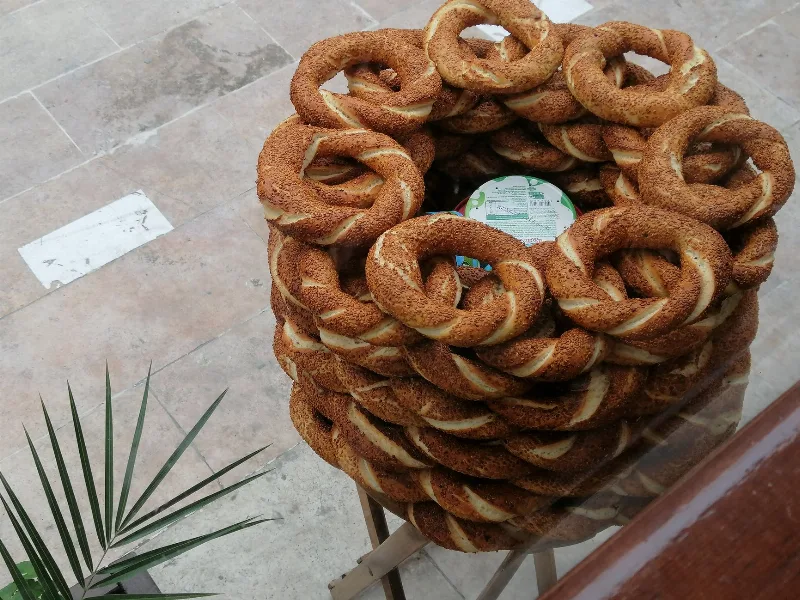
Simit
Simit is a ring-shaped Turkish bread covered in sesame seeds, strongly associated with Istanbul and sold as everyday street food. It is eaten fresh, most often with tea, and has a crisp crust around a chewy crumb.
Explore →
Bazlama
Bazlama is a soft, thick Turkish flatbread made from a leavened dough and cooked on a hot griddle. It is a staple of village baking across Anatolia, eaten warm with butter or used to wrap other foods.
Explore →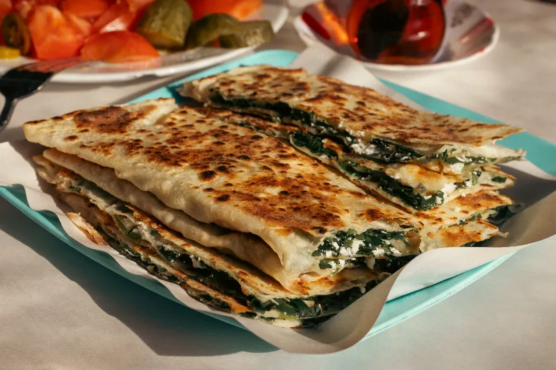
Gözleme
Gözleme is a thin, hand-rolled Anatolian flatbread folded around savory fillings such as cheese, spinach, or minced meat and cooked on a sac griddle. The article covers its regional variations, cooking method, texture, and traditional serving style.
Explore →Related content
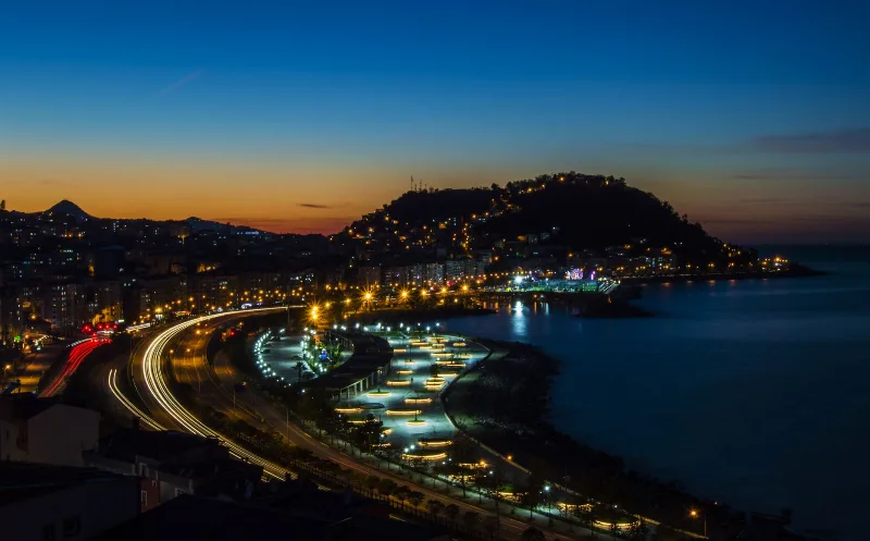
Giresun
Giresun is a Black Sea coastal city in northeastern Türkiye, known across the country for its hazelnuts and for Giresun Island, the only inhabited island in the Black Sea.
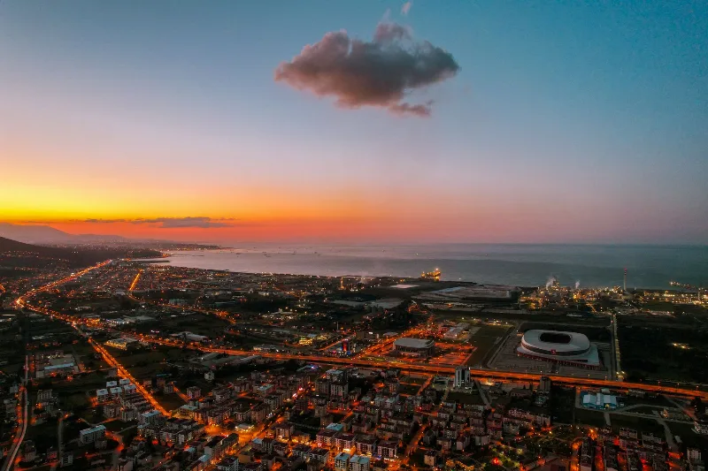
Samsun
Samsun is a large Black Sea port city in northern Türkiye and the historic starting point of the Turkish War of Independence in 1919. It is a major metropolitan centre set between wide river deltas, coastal plains and the mountains of the Black Sea hinterland.
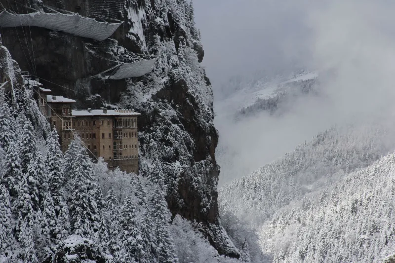
Trabzon
Trabzon is a rain-washed port city on Türkiye's eastern Black Sea coast, framed by the cliffside Sumela Monastery and slopes of tea. Byzantine and Ottoman layers sit close to highland valleys just inland.
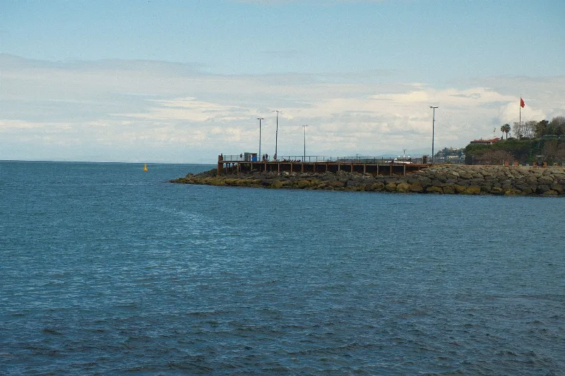
6-Day Central Black Sea Route
A six-day journey along Turkey's Central Black Sea coast from Samsun to Trabzon, visiting Ordu and Giresun with highland and beach stops.
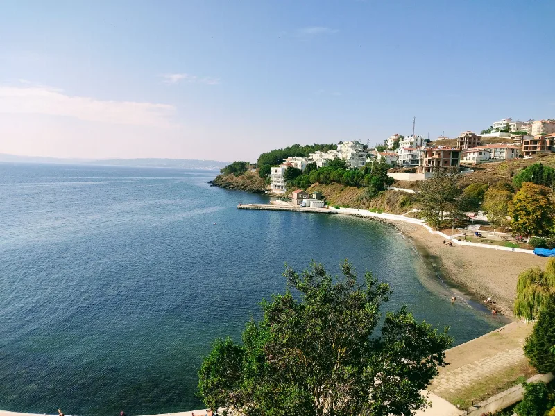
5-Day Black Sea Coast Route
A five-day linear journey along Türkiye's central and eastern Black Sea coast, from Sinop to Trabzon, with an inland detour to Amasya and stops in Ordu and Giresun along the way.
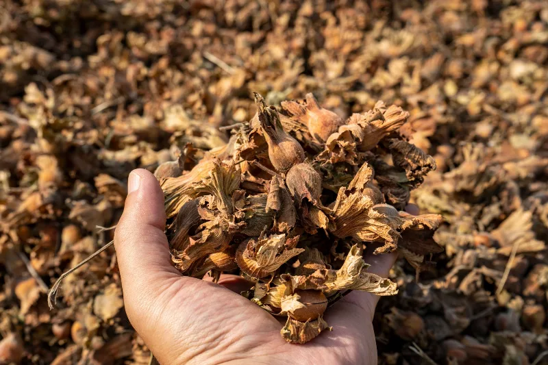
Giresun Hazelnuts
Giresun hazelnuts are the nuts of hazel trees grown on the rainy slopes of Giresun province on Türkiye's eastern Black Sea coast, valued for their rounded kernels, thin shells and high oil content.