
Anemurium
Anemurium is an ancient city on a windswept promontory at Cape Anamur, the southernmost point of Anatolia, in Mersin Province. Its Roman and Byzantine ruins — theatre, baths, walls and a vast necropolis — make it one of the most substantial archaeological sites on Turkey's Mediterranean coast.
Anemurium is an ancient city on the southern coast of Anatolia, in the Anamur district of Mersin Province, Turkey. It sits on the windswept promontory of Cape Anamur, the southernmost point of the Turkish mainland, facing Cyprus across the eastern Mediterranean. Occupied from the Hellenistic era and flourishing through the Roman and Byzantine periods, the site is significant for the density and state of preservation of its surviving structures, above all its extensive necropolis, its hillside theatre, its bath complexes and its circuit of fortification walls.
Location and Geographical Setting
The city occupies a narrow, rocky headland that projects into the sea, backed to the north by the slopes of the Taurus Mountains. This position gave it a natural harbour area, control of coastal shipping routes between Anatolia and Cyprus, and a degree of defensibility. The climate is Mediterranean, with hot, dry summers and mild, wetter winters, and the exposed cape is known for strong onshore winds — a factor reflected in the name Anemurium, which derives from the Greek word for wind. The modern settlement of Anamur lies a short distance to the north and east, and the coastline here offers long beaches as well as the rugged cliffs of the headland.
Historical Background
Anemurium is not a foundation of a single moment. Coins struck in the region indicate activity in the fourth century BC, linking its early existence to the local dynasts of western Cilicia during the late Classical and Hellenistic periods. It passed into Roman control as Rome extended its authority over Cilicia, and by the early centuries AD it had grown into a substantial coastal town. Its prosperity rested on maritime trade, agriculture in the fertile hinterland and its position on the sea lanes of the eastern Mediterranean.
The city reached the height of its development in the Roman and late Roman periods. Inscriptions, civic buildings and the scale of its burial grounds attest to a thriving community. During late antiquity and the Byzantine period it became a bishopric, and it continued to be inhabited into the early medieval era before being abandoned, traditionally associated with the instability caused by Arab raids along the southern coast in the seventh century. After that, the site was left largely unoccupied, which is one reason so much of its stonework survived rather than being quarried away in later centuries.
Roman Structures and Civic Architecture
The surviving monuments reflect the layout and amenities of a Roman provincial city.
The theatre is cut into the slope of the headland, its cavea of tiered seating facing toward the sea. Nearby are the remains of an odeon, a smaller roofed or partly roofed structure used for civic meetings and performances. Together these buildings show the city's commitment to the public entertainments and gatherings typical of Roman urban life.
The baths are among the most instructive remains at Anemurium. Several bathing complexes of different sizes have been identified, with the characteristic sequence of rooms — changing areas, cold, warm and hot chambers — still readable in the masonry. The large bath complex and smaller baths illustrate the importance of public bathing as a social institution in the Roman world, and their floors and foundations preserve traces of the heating systems that once served them.
A circuit of defensive walls, sections of an aqueduct that brought water to the city, and the remains of streets, houses and possibly commercial structures fill out the picture of an organised urban settlement rather than a single monument. The harbour area below the headland supported the trade on which the town depended.
The Necropolis
The necropolis is the most distinctive feature of Anemurium and among the most extensive ancient burial grounds in Anatolia. It spreads across the landward side of the city in a wide belt of tombs of varying types and dates. These range from simple graves and sarcophagi to more elaborate tomb houses and chamber tombs, some built as small masonry structures with interior decoration.
Several of the tombs preserve painted interiors and, in some cases, floor mosaics, providing evidence for the artistic traditions and funerary customs of the city's inhabitants across the Roman and early Byzantine centuries. Because the necropolis was never systematically cleared or built over, it offers an unusually continuous record of burial practice over a long period. The variety of tomb forms reflects the social range of the community and the changing fashions of commemoration over time.
Excavation and Archaeological Significance
Systematic archaeological work at Anemurium began in the twentieth century, with major campaigns conducted by a Canadian team from the 1960s onward, followed by Turkish and other investigations. This research documented the theatre, the baths, the necropolis and the surrounding urban fabric, and helped establish the site's chronology from the Hellenistic period through late antiquity.
The site's importance lies in the completeness of its urban ensemble. Because it was abandoned and not substantially reoccupied, Anemurium preserves an integrated picture of a Roman and Byzantine coastal city — its public buildings, its defences, its water supply and its cemeteries — in a way that more continuously inhabited towns do not. The painted tombs of the necropolis are especially valuable for the study of provincial art and burial ritual.
What Survives and What Visitors Can See
Today the visitor encounters a large open archaeological area. The main features readily visible include the theatre on the slope, the remains of the odeon, the standing masonry of the bath complexes, stretches of the city walls and the aqueduct, and scattered foundations of streets and buildings. The necropolis, reached across the site, contains numerous tombs, some still showing traces of their interior decoration, though the condition of individual tombs varies.
Because the remains are outdoor and spread across uneven ground, they are best understood as a landscape of ruins to be walked through rather than a single monument to be viewed from one point. The stonework, masonry techniques and layout reward careful observation, and the seaward setting gives a strong sense of the city's original maritime orientation.
Practical Visiting Context
Anemurium lies near the town of Anamur at the southern end of Mersin Province, reachable by road along the coastal route. The terrain is rocky and exposed, with limited shade, so the site is generally more comfortable to explore in the cooler parts of the day and in the milder seasons of spring and autumn rather than at the height of summer. Sturdy footwear is useful given the uneven ground. Visitors should treat the ruins as fragile archaeological remains and avoid climbing on decorated tombs or unstable masonry.
Facilities at the site itself are minimal, so it is sensible to plan supplies in nearby Anamur. The headland setting combines archaeology with coastal scenery, and the wider region includes other historic and natural places along the Mersin coast, such as the medieval castle at Anamur and the mountain landscapes of the Taurus range inland.
Related Places and Wider Context
Anemurium belongs to the wider archaeology of Cilicia and the eastern Mediterranean, a region shaped by Greek, Roman and Byzantine cultures and by centuries of maritime contact with Cyprus. Other ancient sites and historic monuments along Turkey's southern coast share aspects of its architecture and history, and together they help illustrate how coastal cities functioned as links between Anatolia, the Levant and the islands. For anyone following the Roman and Byzantine heritage of southern Turkey, Anemurium is a substantial and informative stop, valued less for any single building than for the completeness of the town that survives there.
Routes
All routes →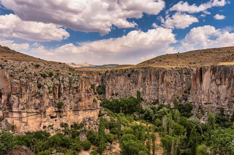
2-Day Cappadocia Underground Cities Route
A two-day route from Nevşehir through the underground cities of Kaymaklı and Derinkuyu, finishing with a walk through the Ihlara Valley and the rock-cut complex at Selime.
Explore →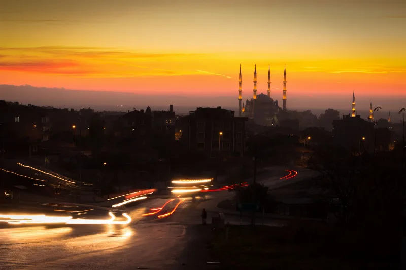
3-Day Thrace Route: Edirne, Kırklareli and Tekirdağ
A practical three-day west-to-east, then south, driving route across Turkish Thrace, linking Edirne's Ottoman monuments with Kırklareli's inland towns and Tekirdağ's Marmara vineyards and coast.
Explore →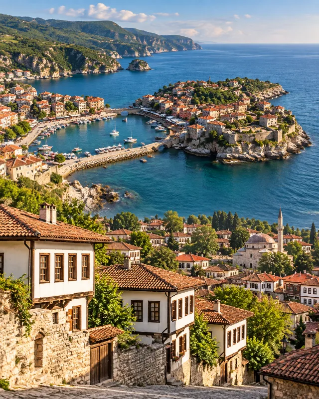
2-Day Safranbolu and Amasra Route
A two-day route combining Safranbolu’s Ottoman streets and traditional houses with the Black Sea scenery and historic harbour town of Amasra.
Explore →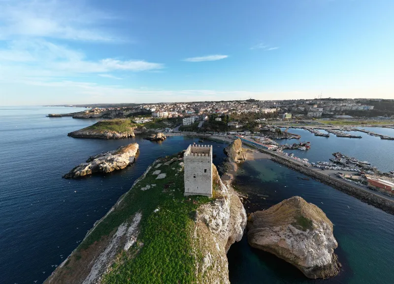
1-Day Sinop Route: Old Town, Castle and Hamsilos Bay
A single-day route through Sinop, from the old harbour and castle walls to the archaeological museum, the historic prison and the wooded bays along the coast west of the city.
Explore →Related content
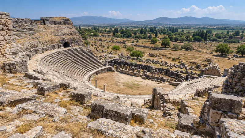
Miletus
Miletus was one of the great Ionian Greek cities of western Anatolia, a major maritime power and the birthplace of the Milesian school of philosophy. Today its extensive ruins near Balat in Aydın Province include one of Anatolia's largest ancient theatres.
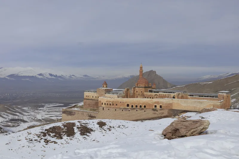
Ishak Pasha Palace
Ishak Pasha Palace is a late Ottoman palace complex in Doğubayazıt, Ağrı Province, eastern Turkey. Built between the late 17th and late 18th centuries, it is known for its stone architecture, which combines Ottoman, Seljuk, and Persian elements.
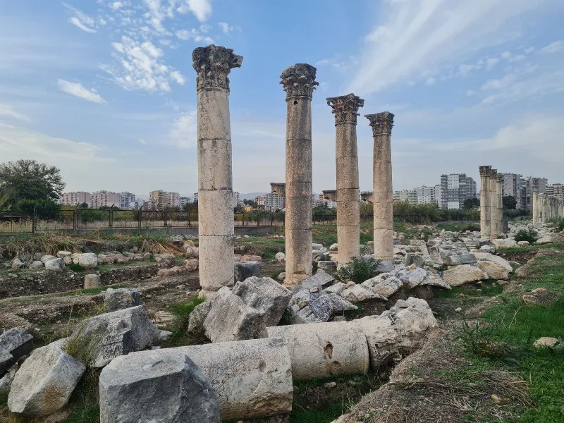
Zeugma
Zeugma was a Hellenistic and Roman city on the Euphrates in Gaziantep Province, important for its river crossing and Roman garrison. Its excavated houses produced celebrated mosaics, many now shown in the Zeugma Mosaic Museum in Gaziantep.
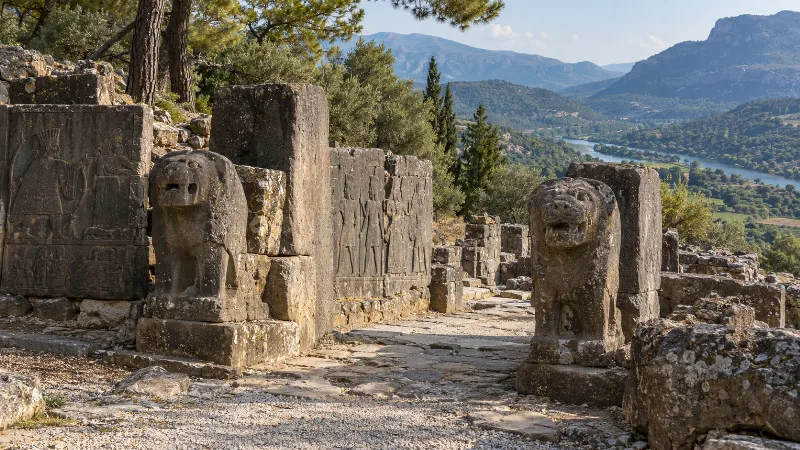
Karatepe
Karatepe is an 8th-century BC Hittite fortress above the Ceyhan River in Osmaniye Province, whose Phoenician–Luwian bilingual inscriptions unlocked the reading of Anatolian hieroglyphs.
Kültepe
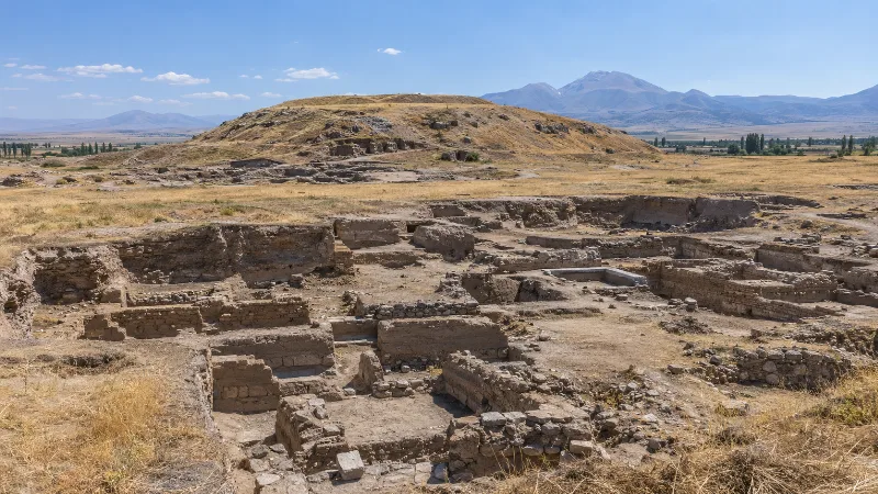
Kültepe, the ancient city of Kanesh, is a Bronze Age mound and lower-city site northeast of Kayseri in central Türkiye. Its Assyrian merchants left behind thousands of cuneiform tablets, the earliest written records discovered in Anatolia.
Arslantepe
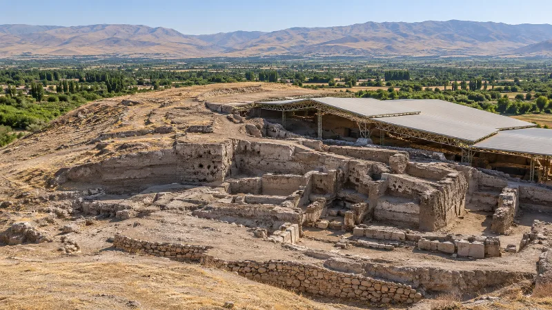
Arslantepe is a deep archaeological mound on the Malatya plain in eastern Türkiye, where a Late Chalcolithic palace documents the rise of a centralised state and later Neo-Hittite rulers carved lions for its gates. It became a UNESCO World Heritage Site in 2021.