
Karatepe
Karatepe is an 8th-century BC Hittite fortress above the Ceyhan River in Osmaniye Province, whose Phoenician–Luwian bilingual inscriptions unlocked the reading of Anatolian hieroglyphs.
Karatepe is a Late Hittite fortified site on a rocky hill above the west bank of the Ceyhan River in Osmaniye Province, southern Turkey, close to the town of Kadirli. It was founded in the 8th century BC, after the collapse of the Hittite Empire, by a ruler named Azatiwada, who gave the place his own name, Azatiwadaya. The site matters for two reasons. Its two gateways were lined with carved orthostats and colossal figures, and the same text was written there twice — once in the Phoenician alphabet and once in Hieroglyphic Luwian. That bilingual passage gave scholars the key to reading Anatolian hieroglyphs, making Karatepe one of the most consequential archaeological sites in the study of ancient Anatolia.
Where the Fortress Stands
The hill occupies a strategic position at the point where the Ceyhan — the ancient Pyramos — leaves the foothills of the Anti-Taurus Mountains and enters the broad Cilician plain. To the north and west rise wooded slopes; to the south and east the land opens out toward flat agricultural country. Control of this spot meant control of a natural corridor between the mountains and the plain, and of a crossing of a river that has always been a major route through the region.
The site lies in the countryside of Kadirli district, not in a modern town centre, and it is surrounded by the pine-covered terrain of Karatepe-Aslantaş National Park. That protected status, established in the late 1950s, has kept the hill and its immediate surroundings largely free of modern construction, which is one reason the layout of the fortress is still legible on the ground.
The Late Hittite Kingdoms and the Rise of Azatiwada
Around 1200 BC the Hittite Empire based at Hattuša broke apart. What followed in southeastern and southern Anatolia and northern Syria was a patchwork of smaller states, often called Neo-Hittite or Syro-Hittite kingdoms, which continued Hittite artistic and scribal traditions while developing their own political identities. The Cilician plain was occupied by one of these polities, known from Assyrian sources as Que and from its own inscriptions as the kingdom of Adana, ruled in the 8th century BC by a king named Awariku, rendered in Phoenician as Urikki.
Azatiwada describes himself in the inscriptions as a man of the Danuna who served Awariku and was elevated to rule. He states that he built the fortress on a hill that had not previously been settled — a claim that excavation has broadly supported — and that he named it after himself. Scholars generally read the foundation as both a practical act of frontier defence and a deliberate piece of dynastic self-presentation: a new stronghold on the edge of the kingdom, garrisoned and decorated at considerable expense, proclaiming the authority of its founder far from the old centres.
The Bilingual Inscription and the Decipherment of Luwian Hieroglyphs
The most important feature of Karatepe is not its masonry but its text. The same composition was carved in two scripts and two languages: a Phoenician version in the linear alphabet, and a Hieroglyphic Luwian version in the native Anatolian script. The Phoenician alphabet could be read, the Luwian hieroglyphs could not. By comparing the two, philologists were able to establish the values of a large part of the Anatolian hieroglyphic signary — the decisive breakthrough in reading a script that had been known from seals and monuments for centuries without being understood.
The inscription is not a chronicle of battles. It is a statement of legitimacy and achievement: Azatiwada describes his position under Awariku, the building of the city, the prosperity he brought, the abundance of grain, wine and livestock, and the peace and security he claims to have established. The text also refers to the deity honoured at the site. Because the composition is preserved in two versions, its phrasing can be checked against itself, which is precisely what made it so useful to linguistics as well as to history.
The Two Gateways and Their Sculpture
The fortress was entered through two gateways, one on the northern and one on the southern side of the circuit. Each was a substantial structure flanked by towers, with a passage whose inner faces were lined with rows of carved stone orthostats. At the threshold of each gate stood a colossal bearded male figure — generally identified as a protective deity, though a royal identification has also been proposed — accompanied by lion orthostats that served as guardians of the entrance. The lions gave the site one of its later names in Turkish, Aslantaş, "lion stone".
The reliefs along the passages mix divine imagery with scenes of courtly and everyday life. They include a banquet, a ship with oarsmen, a cow suckling a calf, musicians, and figures engaged in combat or in the subduing of animals. Sphinxes and winged creatures also appear. The style is monumental and flat, with figures shown in profile in the tradition of Late Hittite relief carving, and the programme as a whole reinforces the message of the inscription: order, plenty and protection under a divinely sanctioned ruler.
Because the sculpture was exposed for millennia, much of the carved stonework has been removed for conservation. Many of the orthostats and the great portal figures are now held in regional museum collections, with replicas set into their original positions at the gates so that the architectural arrangement can still be read on site.
Within the Walls
The circuit wall follows the contours of the hilltop, enclosing a relatively small area. Inside stood a modest settlement rather than a great city: houses, storage installations and a few structures of better construction. Excavation has shown that the interior was only partly built up, and parts of it remain unexcavated. The impression is of a fortified administrative and military strongpoint with a resident population, not of an urban centre on the scale of the lowland cities.
Abandonment and Rediscovery
Karatepe had a short life. The site was destroyed by fire and abandoned, probably in the late 8th or early 7th century BC, at a time when the small kingdoms of the region were being drawn into the orbit of the expanding Neo-Assyrian Empire. The hill then lay empty for some twenty-five centuries.
It re-entered history in 1946, when the site was identified and its inscriptions recognised. Excavation began the following year under Helmuth Theodor Bossert, and work was later carried on over decades by Halet Çambel and Bahadır Alkım. Their long campaign combined excavation, conservation and site presentation, and Karatepe became an early example in Turkey of an archaeological site developed for visitors while research continued.
Visiting the Site Today
What a visitor sees is an excavated and partly restored hilltop fortress with its two gateways, stretches of the circuit wall, and the passages lined with replica sculpture in the positions the originals occupied. The setting is wooded and quiet, and the layout of the gates and walls is easy to follow on foot. The site functions as an open-air museum within the national park, and information about the inscriptions and the excavation is presented on site.
Terrain matters here. The remains sit on a hill, reached by an uphill walk, and the paths and gate passages are uneven stone. Shade on the summit is limited in the middle of the day. Spring and autumn are the most comfortable seasons, when the heat of the Cilician plain is milder and the surrounding vegetation is at its best; high summer on the exposed hilltop is demanding.
The Surrounding Landscape
The national park around the site protects a stretch of eastern Mediterranean forest, dominated by pines with maquis undergrowth, and includes the reservoir formed by the Aslantaş dam on the Ceyhan. The combination of a forested river valley, a lake and a fortified hill gives the area a character quite different from the flat farmland further south, and the natural and archaeological elements are visited together.
Nearby Historic Places
Karatepe sits in one of the densest archaeological landscapes of southern Turkey, and several sites can be combined with a visit. To the west, near the town of Ceyhan, lie the remains of Kastabala, a city with a colonnaded street and a theatre in a river valley below a castle. Further west, near Kozan, is Anavarza, ancient Anazarbos, with its walls, arches and theatre. North of Osmaniye stands the medieval fortress of Toprakkale, and the regional museum collections that hold material from Karatepe are the natural complement to a visit to the site itself.
Routes
All routes →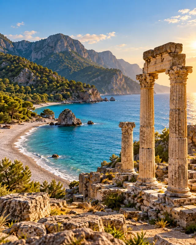
3-Day Antalya Ancient Coast Route
A three-day route combining Antalya’s old city with Perge, Aspendos, Side, Olympos and the Mediterranean landscapes around Çıralı.
Explore →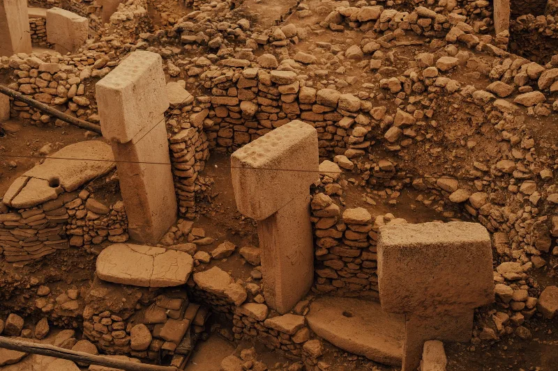
2-Day Şanlıurfa and Göbeklitepe Route
A two-day route through Şanlıurfa's sacred historic quarter, the world's oldest known temple at Göbeklitepe and the beehive houses of the Harran plain, starting and finishing in Şanlıurfa city.
Explore →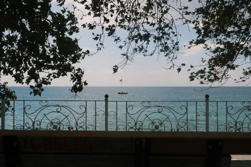
4-Day Marmara Sea Route
A four-day loop around the Sea of Marmara that starts in Istanbul, crosses to Yalova, travels inland to Bursa and finishes among the ruins of Troy and the memorials of the Gallipoli peninsula. The itinerary is built around short, logical daily drives rather than long transfers.
Explore →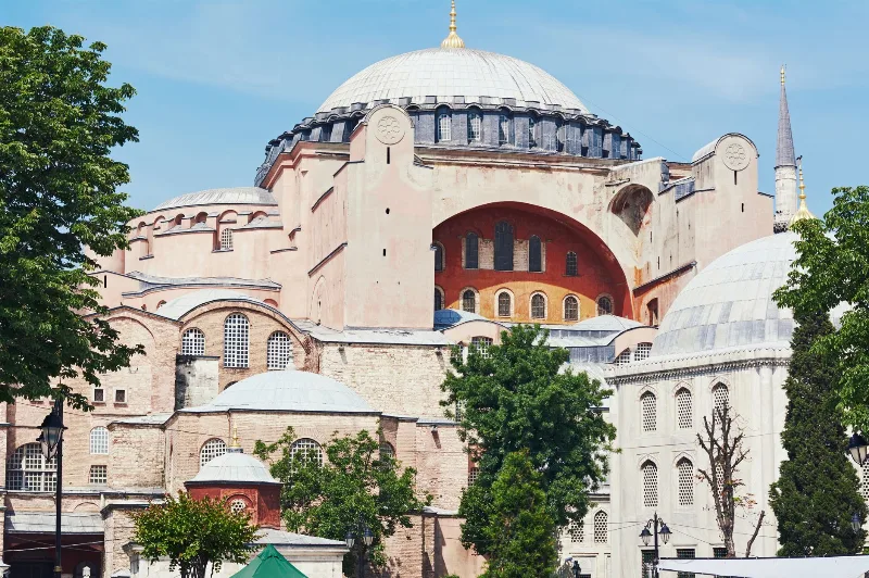
1-Day Istanbul Historic Peninsula Route
Explore Istanbul's Historic Peninsula in one day on foot, visiting Hagia Sophia, the Blue Mosque, Topkapı Palace, and the Grand Bazaar. This compact walking route covers the highlights of Sultanahmet with a logical, easy-to-follow order.
Explore →Related content
Adana
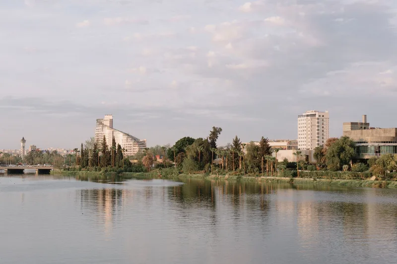
Adana is a major metropolitan city in southern Türkiye and the urban heart of the Çukurova plain, defined by the Seyhan River, a Roman-era stone bridge and a deeply rooted kebab and agricultural culture.
Historic Places
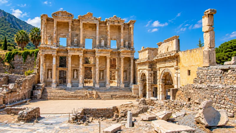
Ancient cities, monuments, castles and archaeological sites across Türkiye.
Adana Kebap: Spicy Hand-Minced Lamb Kebab from Adana
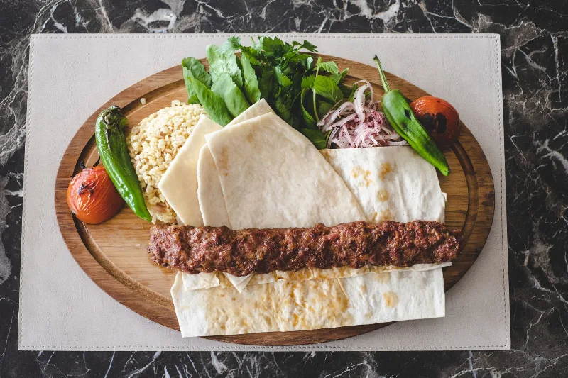
Adana kebap is a charcoal-grilled minced lamb kebab from the Çukurova plain, defined by hand-chopped meat, tail fat and generous chilli heat. This article explains its ingredients, preparation, flavour and how it differs from Urfa kebap.
Adana Kebabı
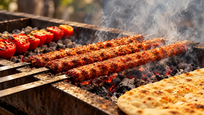
Adana kebabı is a spicy minced-lamb kebab from the southern Turkish city of Adana, moulded onto wide flat skewers and grilled over charcoal. Its heat, its hand-chopped meat and its distinctive flat skewer set it apart from other Turkish kebabs.

Watermelon Harvest in Adana
The watermelon harvest in Adana, Turkey, takes place in July and August. The region's hot climate and fertile soil produce exceptionally sweet, large watermelons, making this a distinctive seasonal event in the Çukurova Plain.
Ceyhan River Cotton Fields in Adana
The Ceyhan River crosses the Çukurova plain east of Adana, where irrigated cotton fields shape one of Türkiye's most distinctive agricultural landscapes.