
Kibyra
Kibyra is an ancient city on a plateau above Gölhisar in Burdur Province, once the leading city of the Kibyratis. Its theatre, odeon with a Medusa mosaic, and stadium survive in unusual detail.
Kibyra is an ancient city in the Gölhisar district of Burdur Province, in south-western Türkiye, built across a sloping plateau above the modern town of Gölhisar. It was the leading settlement of the Kibyratis, a mountainous district where the borders of Lydia, Phrygia and Lycia converged, and it prospered from the Hellenistic period through the Roman imperial era. The city is significant above all for the density and preservation of its public architecture: a large theatre cut into the hillside, an odeon whose orchestra floor carries a marble Medusa mosaic, a stadium roughly two hundred metres long, bath buildings, colonnaded streets, and a water system of cisterns and channels that sustained a city on high, dry ground. Inscriptions and reliefs from Kibyra also document an unusually well-attested gladiatorial tradition in the eastern Mediterranean.
The landscape of the Kibyratis
Kibyra occupies the northern edge of the plain around Gölhisar, on rising ground that gave it control over routes running between the Anatolian interior and the Lycian coast. The ancient geographer Strabo placed the city in a fertile but mountainous territory and noted that the Kibyratis formed a distinct political unit rather than an appendage of a neighbouring region. The plateau on which the ruins stand falls away sharply on some sides, providing natural defence, while the surrounding plain supplied the agricultural surplus that underwrote the city's wealth.
The setting explains much of Kibyra's history. It lay far enough inland to escape the immediate pressures of coastal politics but close enough to the main roads to profit from trade. The district was known in antiquity for ironworking, and Kibyra's craftsmen acquired a reputation that persisted long after the city itself had declined.
From Hellenistic powerhouse to Roman provincial city
Kibyra emerged as a substantial settlement in the Hellenistic period and by the second century BC had become the dominant power of a four-city league, the tetrapolis, which also included Oenoanda, Balbura and Bubon. This league gave the district a collective political weight unusual for a mountainous corner of Asia Minor. Strabo records that the Kibyrates were of Lydian origin and that several languages were spoken in the city, a detail that reflects the cultural layering of the region where Lydian, Pisidian, Lycian and Greek influences met.
The league was broken by Roman intervention. In the early first century BC the Roman commander Lucius Licinius Murena moved against Kibyra, and the tetrapolis was dissolved; Balbura and Bubon were attached to Lycia while Kibyra and Oenoanda continued as independent cities. Kibyra then passed into the Roman provincial system, eventually falling within the province of Asia and later within Lycia et Pamphylia. Its wealth in this period is visible not in written accounts but in stone: the public buildings that define the site today were largely financed by prosperous citizens during the first and second centuries AD.
The earthquake of AD 23 and imperial rebuilding
Kibyra was badly damaged by an earthquake in AD 23, an event recorded by Tacitus together with the relief measures taken under the emperor Tiberius. The city was rebuilt, and much of what a visitor now sees belongs to the construction campaigns that followed and continued through the imperial period. The rebuilding is one of the reasons the site reads as a coherent Roman city rather than a palimpsest of many unrelated phases, although earlier Hellenistic foundations and later Byzantine repairs are embedded throughout.
The theatre
The theatre occupies a natural slope and is one of the most conspicuous structures at Kibyra. Its cavea, estimated to have held around nine thousand spectators, is divided by a horizontal walkway and supported at its outer edge by substantial vaulted substructures. The stage building was originally of two storeys, and enough of its masonry survives to make the arrangement of the stage facade legible. Because the seating is cut into the hillside and the surrounding walls remain high, the theatre gives a clearer impression of volume than many better-known ancient theatres that have been more heavily restored.
The odeon and the Medusa mosaic
The odeon, which also served as the city's council house, is a roofed, steeply banked auditorium with a capacity of several thousand. Its most celebrated feature lies on the floor of the orchestra: a mosaic of marble and coloured stone tesserae depicting Medusa, framed by geometric borders. The face is rendered in fine gradations of tone, and the surrounding panels preserve a broader decorative scheme. Because the building was later filled with collapsed material, the mosaic survived in unusually good condition, and it has become the single most reproduced image associated with Kibyra.
The odeon's facade and the arrangement of its entrances show the same attention to monumental display found in the theatre, and together the two buildings indicate that Kibyra invested heavily in the performance culture typical of a wealthy Roman provincial city.
The stadium
Kibyra's stadium stretches across the lower ground of the site for roughly two hundred metres, making it one of the largest surviving examples in Anatolia. Its seating is built up rather than cut into rock, and the long, curved form of the track is still clearly readable from the slopes above. The scale of the structure points to the importance of athletic and equestrian contests in the city's civic calendar, events that were as much about local prestige as about sport.
Streets, baths and the water supply
A colonnaded street linked the main public buildings, and traces of its paving and column bases can still be followed. Excavation has exposed a bath complex with the sequence of heated rooms characteristic of Roman bathing, along with extensive mosaic flooring in some areas. Equally important, though less immediately dramatic, is the city's water infrastructure: cisterns, channels and terracotta pipelines that captured and stored rainfall on a plateau with limited springs. Several large cisterns remain visible, and they explain how a city of this size functioned on high ground.
The gladiators of Kibyra
Kibyra has produced a remarkable body of evidence for gladiatorial combat. Reliefs carved with scenes of fighting, along with inscriptions and graves, indicate that the city trained and staged gladiators on a significant scale. Some of the most important pieces are fragmentary, and scholarly interpretation of the details continues, but the broad picture — an arena culture embedded in the civic life of a provincial Anatolian city — is well established by the physical evidence. Finds from the site have been transferred to the museum in Burdur for conservation and display.
Decline and abandonment
Kibyra remained inhabited into late antiquity and the Byzantine period, when it became a bishopric. Earthquakes damaged the city repeatedly, and the gradual collapse of its public buildings is visible in the reuse of theatre and stadium masonry in later walls. Raids and shifting settlement patterns contributed to its slow contraction, and the site was eventually abandoned, leaving the ruins largely undisturbed until modern excavation began. That abandonment is precisely why so much of the plan survives.
Archaeology and recognition
Systematic excavation and restoration have been carried out at Kibyra since the late twentieth century, and the ancient city was added to Türkiye's UNESCO World Heritage Tentative List, reflecting its archaeological importance rather than any completed inscription on the World Heritage List. Work has focused on the theatre, the odeon, the stadium, the colonnaded street and the water system.
Visiting the site
Kibyra is an open archaeological area on sloping ground, reached from Gölhisar, which lies on the route between Burdur and the Fethiye coast. Paths are uneven and much of the walking is over exposed stone, so sturdy footwear is useful; there is little shade across the plateau. The site is best visited in spring and autumn, when temperatures are moderate, since summer conditions on the exposed slopes are demanding. Because the monuments are spread out, allow more time than the approach suggests.
Related sites in the surrounding region
The other members of the ancient tetrapolis lie within reach: Oenoanda, in the mountains above the Xanthos valley, is famous for its philosophical inscription, while Balbura and Bubon survive as smaller, less visited ruins in the neighbouring districts. Further north in Burdur Province, Sagalassos offers a contrasting picture of a Pisidian city with monumental Roman architecture. Together these sites make the Kibyratis and the wider Burdur region one of the more rewarding areas of Türkiye for travellers interested in Hellenistic and Roman urbanism.
Routes
All routes →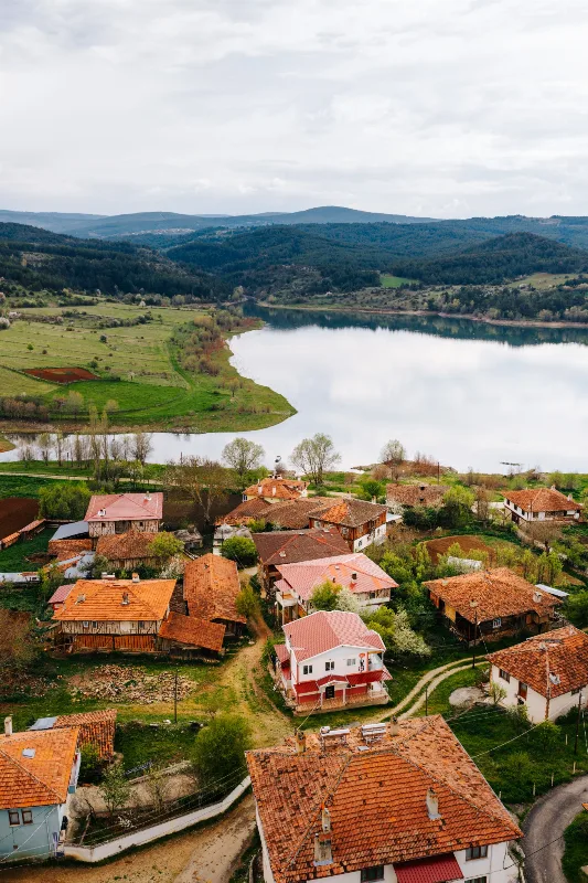
3-Day Kastamonu and Ilgaz Route
A three-day drive from Kastamonu's old town to the fir-covered slopes of Ilgaz National Park, combining Ottoman-era streets with mountain walking in Türkiye's Western Black Sea region.
Explore →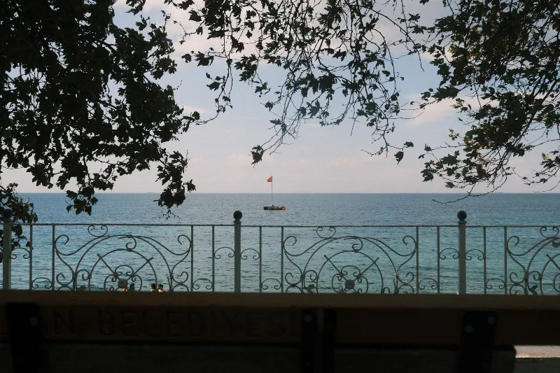
4-Day Marmara Sea Route
A four-day loop around the Sea of Marmara that starts in Istanbul, crosses to Yalova, travels inland to Bursa and finishes among the ruins of Troy and the memorials of the Gallipoli peninsula. The itinerary is built around short, logical daily drives rather than long transfers.
Explore →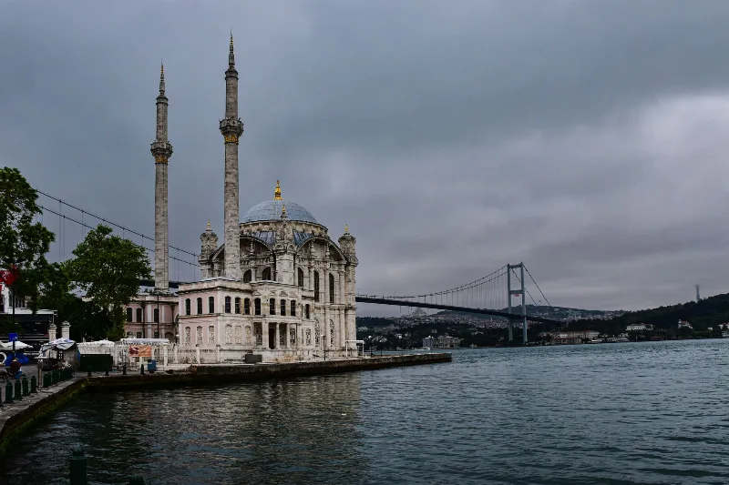
2-Day Istanbul Bosphorus Route
A two-day Bosphorus route that starts on Istanbul's European shore at Ortaköy and Bebek, includes a ferry cruise up the strait, then crosses to the Asian side for Kadıköy and Üsküdar.
Explore →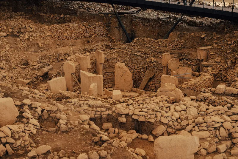
4-Day Southeastern Anatolia Route: Gaziantep to Mardin via Şanlıurfa
A four-day linear route across Southeastern Anatolia, linking the historic cities of Gaziantep, Şanlıurfa and Mardin by road, with the Neolithic site of Göbeklitepe and the ancient settlement of Harran fitted into the middle of the journey.
Explore →Related content
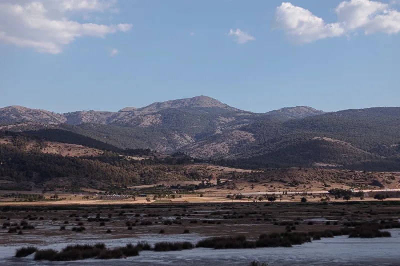
Burdur
Burdur is a provincial capital in southwestern Türkiye, set in the inland Lakes District beside a large saline lake and known for the Roman ruins of Sagalassos and one of Anatolia's oldest Neolithic settlements.
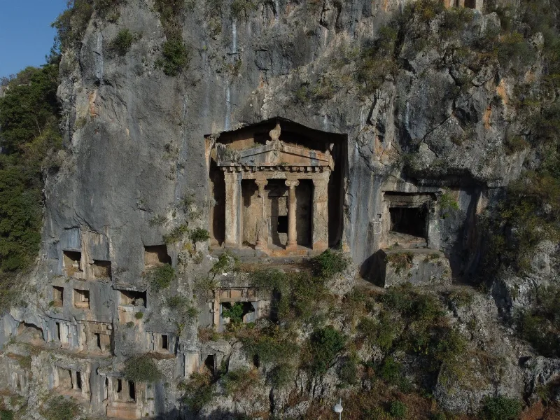
Fethiye
Fethiye is a captivating coastal town known for its stunning blue lagoon, thrilling paragliding experiences, and ancient rock tombs.
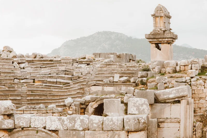
Xanthos
Xanthos was a leading city of Lycia and the seat of the Lycian League, on the frontier between the Antalya and Muğla provinces of Türkiye. Its surviving theatre, agora and tomb monuments, together with the nearby sanctuary of Letoon, form a UNESCO World Heritage Site.
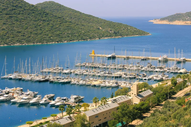
5-Day Fethiye to Kaş Lycian Coast Route
A five-day linear route along the Lycian coast from Fethiye to Kaş, linking Ölüdeniz, Kabak, the Xanthos valley, Patara and Kalkan by road and on foot.
Letoon
Letoon is the ancient Lycian sanctuary of Leto near Xanthos in Muğla Province, home to three temples and the trilingual inscription that helped decipher the Lycian language.
Xanthos
Xanthos is an ancient Lycian city in Antalya Province and a UNESCO World Heritage Site, known for its Lycian tombs, Roman theatre and role as a leading city of Lycia.