
Karagöl Sahara National Park: Alpine Lakes in Artvin
Hidden in the forested mountains of Şavşat, Karagöl Sahara National Park in Artvin pairs a small glacial lake with a high summer pasture, offering a quiet glimpse of Turkey's north-eastern highlands.
Karagöl Sahara National Park lies in the north-eastern corner of Türkiye, within the Şavşat district of Artvin province, close to the Georgian border. Established as a protected area in 1994, the park is made up of two distinct sections that share a single name: Karagöl, a small alpine lake set in a wooded hollow, and Sahara, an open high pasture where herders have long brought their animals in summer. Together they represent the landscape of the eastern Black Sea mountains at its most characteristic — dense spruce forest, cool clear water and meadows that turn green late in spring.
Where the Park Lies
The park sits at roughly 1,600 to 1,800 metres above sea level in the range of mountains that rises steeply behind the Black Sea coast. Şavşat itself is a small town of stone houses and sloping streets, and the road that climbs from it towards the park passes through villages, wooded valleys and streams fed by snowmelt. The two sections of the reserve are some kilometres apart, so visitors usually explore them separately, following signposted forest tracks that wind upwards through the trees.
The Alpine Lake of Karagöl
Karagöl — literally "black lake" — occupies a shallow basin hollowed out long ago by glacial action and now fed by springs and melting snow. Its dark, still surface, which gives the lake its name, mirrors the conifers that crowd its shores. The water is cold throughout the year, and the surrounding vegetation includes rhododendron thickets that flower in early summer, along with mosses, ferns and tall grasses that thrive in the damp mountain air. Paths circle part of the shoreline, and small clearings between the trees open onto views of the water and the ridges beyond.
Sahara: A High Summer Pasture
The Sahara section is a different kind of place altogether: a broad plateau of alpine meadow rather than a lake. For generations it has been used as a yayla, a summer grazing ground to which families from nearby villages move with their cattle when the snow retreats. Simple wooden and stone dwellings, some of them several decades old, are scattered across the grassland, and in July and August the plateau fills with the sounds of livestock, milk churns and conversation. Outside the grazing season the same meadows are empty and silent, open to walkers and to anyone content to sit among wildflowers.
Forests and Wildlife
Oriental spruce dominates the woods around the park, mixed with beech, fir and Scots pine on the lower slopes. This is prime habitat for the Caucasian grouse, a bird closely associated with the forests of north-eastern Türkiye, as well as for brown bear, roe deer, wild boar and fox. The streams and the lake itself hold trout. Because the area is protected, the forest cover has remained largely intact, and the transition from deep woodland to open pasture happens over a short distance, which makes the park rewarding for anyone interested in plants and birds.
Seasons and Trails
Snow can lie on the plateau into late spring, and the warmest months bring the richest colour to the meadows. Autumn turns the beech woods gold and copper before the first heavy falls close the higher tracks. Walking routes connect the lake with viewpoints and with the pasture, ranging from short strolls to half-day hikes along forest paths. Visitors are expected to respect the grazing areas and the private dwellings on the plateau.
Life Around the Park
The villages below the reserve keep traditions typical of the Artvin highlands: timber-framed houses with wide balconies, hay meadows worked by hand, and dairy production from the summer herds. The relationship between the settlements and the high pastures remains a living part of local culture, and the park protects both the scenery and the seasonal way of life that has shaped it.
Related content
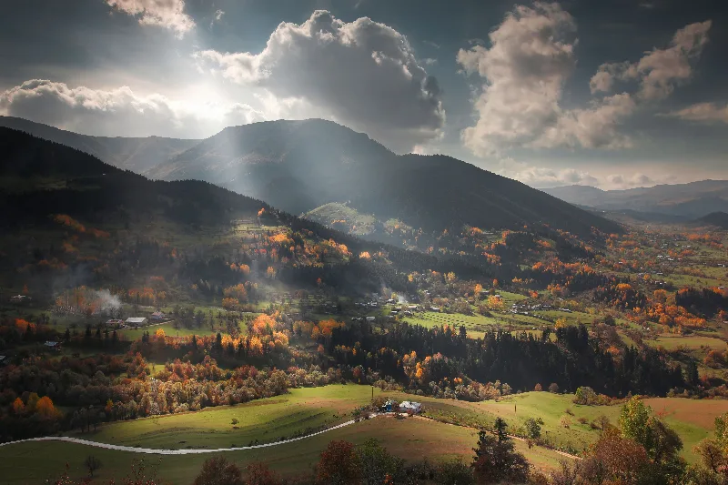
Artvin
Explore Artvin, the northeastern Black Sea region: history, standout sights, landscapes, local food and practical travel advice for an unforgettable journey in Türkiye.
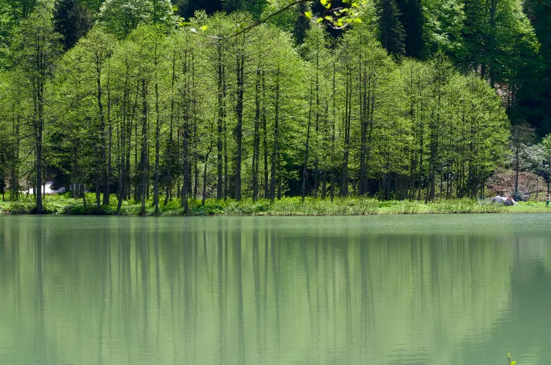
Lake Karagöl
Lake Karagöl is a small glacial lake in Artvin Province, held in an ice-carved basin in the Karçal Mountains. Its forested slopes, alpine meadows and long snow season give it a character quite different from Türkiye's larger Anatolian lakes.
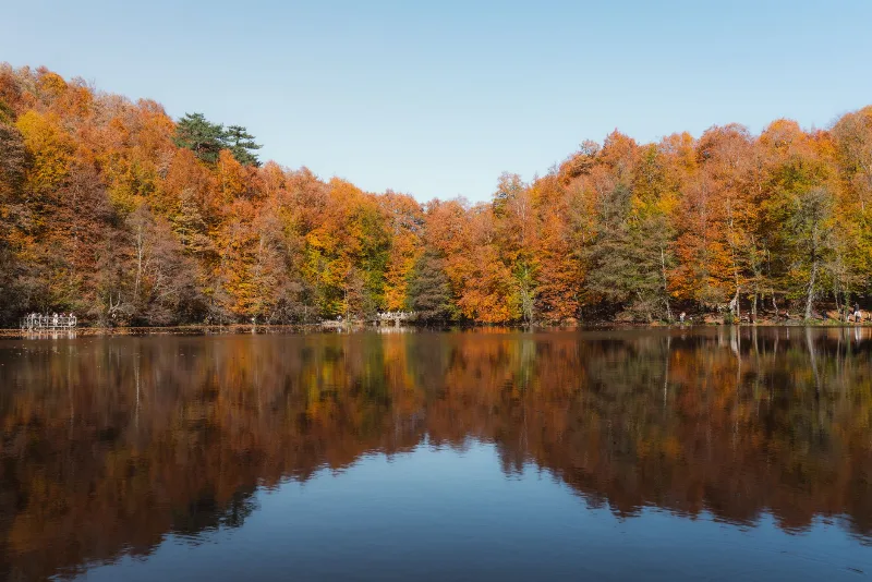
Nature Reserves of the Black Sea Region
Türkiye's Black Sea coast hides a chain of protected landscapes, from glacial lakes in the Kaçkar Mountains to canyons and old-growth forests in Kastamonu and Bartın.
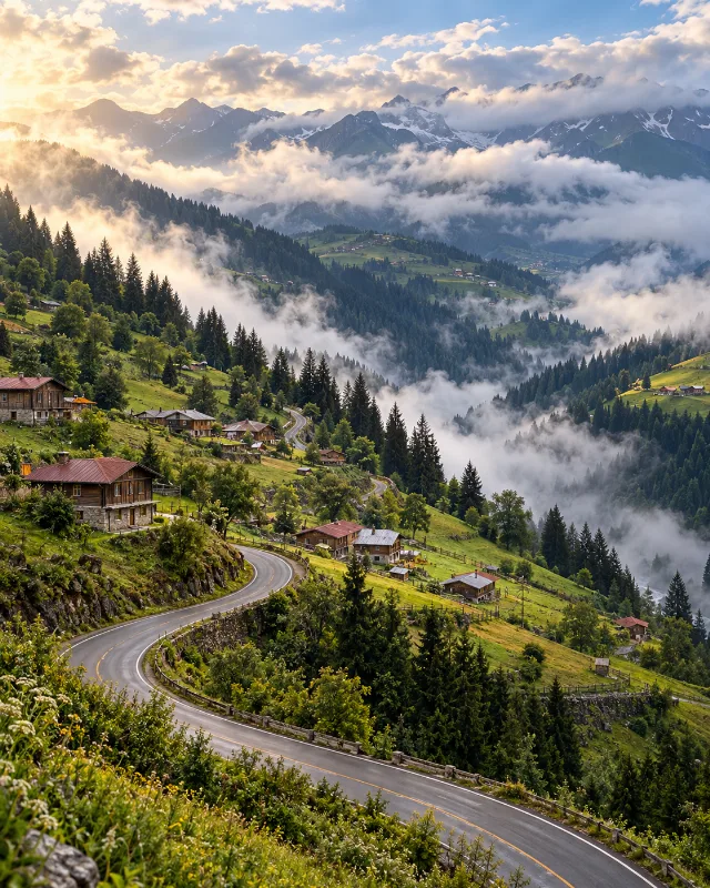
5-Day Eastern Black Sea Route
A five-day journey from Trabzon through Uzungöl, Rize, Çamlıhemşin, Ayder, Borçka and Şavşat, combining Black Sea culture with forests, lakes and highlands.
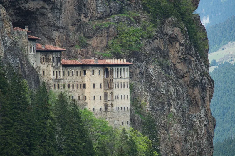
7-Day Eastern Black Sea Highlands Route: Trabzon to Artvin
A seven-day driving route through the Eastern Black Sea highlands, from Trabzon and Sumela to Uzungöl, Ayder, the Kaçkar Mountains and the forests of Şavşat, ending at Artvin.
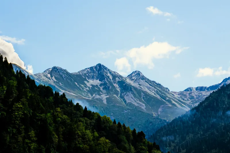
Kaçkar Mountains
The Kaçkar Mountains form the highest section of Turkey's Black Sea ranges, a glacially sculpted landscape of sharp summits, cirque lakes and high summer pastures.
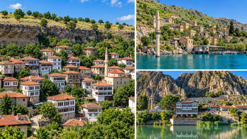
Exploring Turkey Beyond the Best-Known Destinations
A look beyond Turkey’s most famous destinations to smaller towns, villages, coastlines, highlands and historic landscapes across the country.
Kaçkar Mountains: Turkey's Eastern Black Sea Alpine Range
The Kaçkar Mountains form the highest and most glaciated section of Turkey's Pontic range, rising above the eastern Black Sea coast. They combine small glaciers, glacial lakes, high summer pastures and long-distance trekking routes across Rize, Artvin, Erzurum and Bayburt.