
Sultan Sazlığı National Park
Sultan Sazlığı National Park protects a large freshwater marsh on the Develi plain south of Kayseri, one of the most important wetlands in central Anatolia for breeding and wintering waterbirds.
Sultan Sazlığı National Park is a wetland reserve in Kayseri Province, central Türkiye, lying on the broad Develi plain south of Erciyes Mountain at an elevation of roughly 1,070 metres. It is a freshwater marsh complex rather than a single lake, made up of shallow open water, dense reedbeds, wet meadows and seasonally flooded ground, fed by springs and by streams draining the surrounding high ground. The site is one of the largest and most significant wetlands in the interior of the country and has been recognised internationally for the waterbirds it supports.
Where the marsh sits
The wetland occupies the floor of a basin between the volcanic mass of Erciyes to the north and the higher ranges toward Aladağlar to the southeast. Administratively it falls mainly within the Develi district, with parts reaching toward Yahyalı. Kayseri city lies roughly 70 kilometres to the north, while the town of Develi is much closer and serves as the practical base for the area. Because the marsh lies on flat plain rather than in a valley, it has no dramatic enclosing cliffs; the landscape is horizontal, open and steppe-like at its margins, with wide skies and long views across the reeds.
A wetland of reeds, open water and wet meadow
The largest body of open water in the complex is Yay Gölü, a shallow freshwater lake surrounded by extensive reedbeds of common reed, cattail and rush. Between the water and the surrounding farmland lie damp meadows that flood in wet years and dry out in summer, plus patches of salt-tolerant vegetation where the ground stays damp and evaporation concentrates minerals. Where the water is deep enough, submerged and floating plants grow, giving the marsh its green, dense texture in spring and early summer. The marsh edge is not a hard line: water, reed, meadow and cultivated plain blend into one another, which is exactly what makes the site so productive for birds.
This is also what distinguishes Sultan Sazlığı from Türkiye's mountain lakes and coastal lagoons. It is an inland, spring-fed freshwater system on an agricultural plain, and its character changes markedly with the water level of each year rather than with tides or snowmelt alone.
Birds and other wildlife
Birds are the reason the area is protected. Records for the site exceed 250 species, and the marsh is a key stop on the migration route between Europe and Africa as well as a breeding ground in its own right. Greater flamingos are among the best-known breeding species, nesting in colonies on shallow islands and mudflats within the reedbeds. Herons, egrets, spoonbills, grebes, coots, ducks and gulls are all regular, and in winter the open water and wet meadows hold large concentrations of waterfowl, sometimes including geese and diving ducks that move in when northern wetlands freeze.
Reedbed specialists such as reed warblers and bearded reedlings live in the dense stands of cane, while raptors hunt over the meadows. The surrounding dry plain supports typical central Anatolian steppe species. Mammals are far less conspicuous, though the wet margins and surrounding fields attract small predators and rodents typical of the region.
How the marsh changes through the year
Spring is the most active period. Water levels are usually highest after winter and early spring rain and snowmelt, the reeds begin growing, and migrants arrive alongside breeding birds. By late spring the marsh is at its greenest and noisiest, with nesting colonies active.
Summer brings a gradual drop in water level, and in dry years parts of the wet meadow and shallow margins retreat, opening mudflats that suit wading birds but reduce the area of open water. Autumn is the second migration window, when birds move south and the reedbeds fill again with passage migrants. Winter is quiet for visitors in terms of vegetation but busy for birds: the marsh holds overwintering waterfowl, and cold spells can bring ice to shallower water while the deeper pools stay open. The plain itself is cold in winter and hot and dry in high summer, with strong sun and little shade across the open ground.
Visiting conditions and terrain
This is a flat, low-lying wetland and walking is generally on level ground, but the ground can be soft, muddy and in places waterlogged, particularly after rain or in spring. Reeds restrict views at eye level, so seeing open water often means finding higher ground, embankments or the edges of the marsh where the vegetation opens out. Access is largely by road along the rim of the wetland and through the villages on the plain, with the marsh viewed from the surrounding raised ground and from the margins rather than from a network of marked trails.
Practical points matter here. Insect repellent is useful in spring and early summer, sun protection is needed in the open plain, and a vehicle makes the difference between seeing a small corner of the area and understanding its scale. Because water levels and bird activity vary from year to year, no visit can be assumed to deliver the same conditions twice.
Getting there and the wider surroundings
The marsh is approached from Kayseri via Develi, from where minor roads and village roads lead toward the wetland edge. Distances are not long, but the last stretch crosses farmland and is slow going. The wider region offers strong natural context: Erciyes Mountain rises to the north as a distinct volcanic mass, and to the southeast the Aladağlar range and Aladağlar National Park provide a complete contrast in terrain, with high rocky ground, deep valleys and a much harsher climate. Combined with the plain around Develi, these make the Sultan Sazlığı area part of a broader landscape of mountain, steppe and wetland within a relatively small part of Kayseri Province.
Protected status
The wetland has been recognised as a Ramsar site since the 1990s and was later given national park status, reflecting its importance for waterbirds and its role in regional hydrology. Conservation work has focused on water management, since the marsh depends on the balance between incoming spring water and extraction for irrigation on the surrounding plain. For visitors, that status means the area should be treated as a wildlife reserve: observation from the edges, no disturbance of nesting colonies and no wandering into flooded reedbeds.
Beaches & bays
See the coast →
Related content
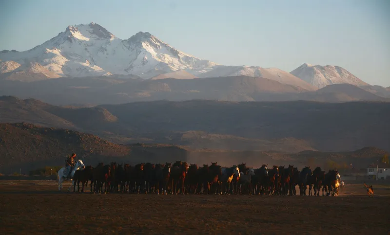
Kayseri
Kayseri is a major inland city in Central Anatolia, set on a plain at the foot of Mount Erciyes, and known for its Seljuk architecture, its manufacturing economy and a food culture built on pastırma and mantı.
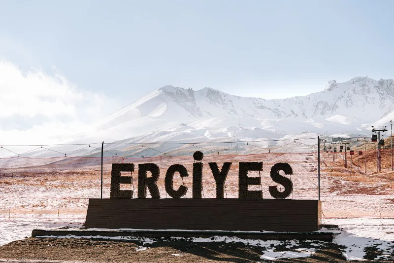
Mount Erciyes
Mount Erciyes is a dormant stratovolcano in Kayseri Province and the highest peak in Central Anatolia, rising sharply from the surrounding plain to a snow-covered summit at 3,917 metres.
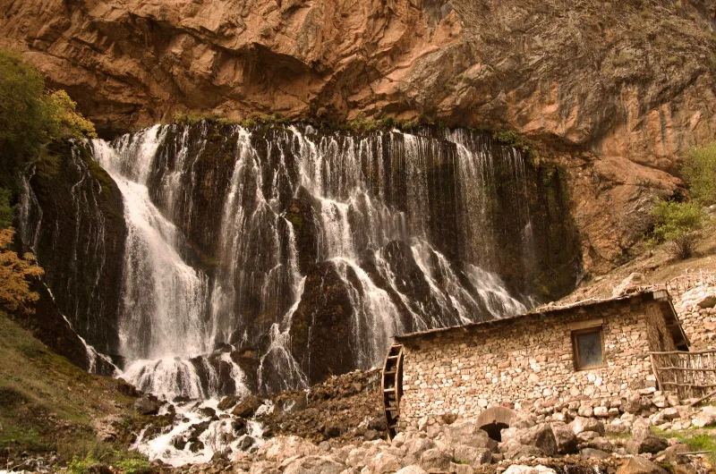
Kapuzbaşı Waterfall
Kapuzbaşı Waterfall is a cluster of karst spring waterfalls in the Aladağlar Mountains of Kayseri, Turkey. Fed by limestone springs, it forms a distinctive multi-chute cascade that varies with snowmelt and season.
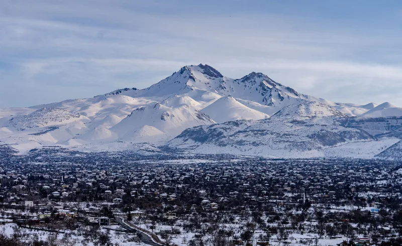
Mount Erciyes
Mount Erciyes is a dormant 3,917-metre stratovolcano rising above the Kayseri plain in Central Anatolia, known for its ski resort, summer trekking routes and its role as a landmark of Turkish volcanism.
Göreme National Park
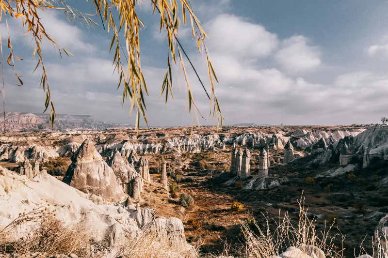
Göreme National Park is a protected volcanic landscape on the Cappadocia plateau in Nevşehir Province, Türkiye, defined by eroded tuff cones known as fairy chimneys and by settlements carved into the same soft rock.
Lake Beyşehir
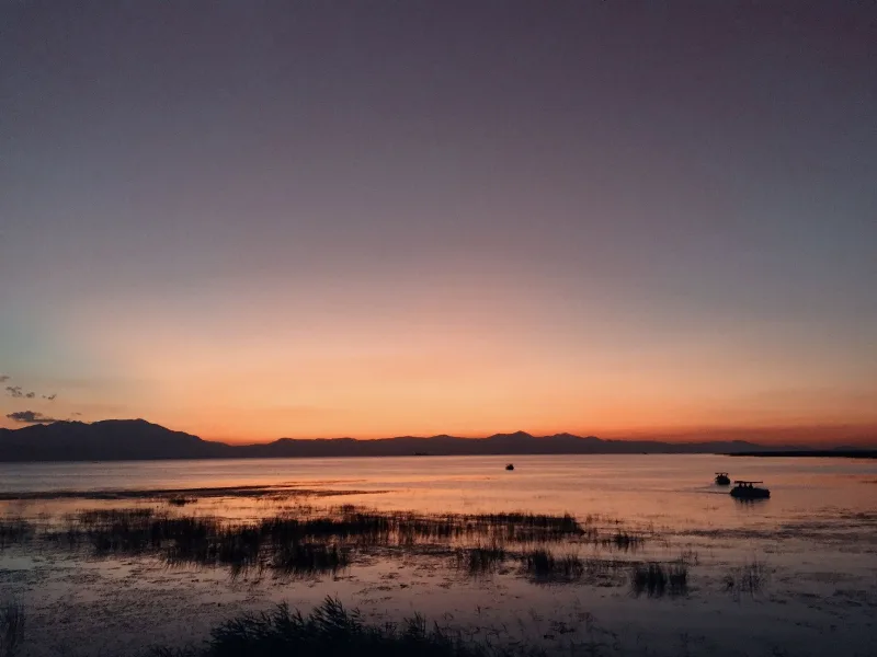
Lake Beyşehir is the largest freshwater lake in Turkey, set in a tectonic basin between Konya and Isparta and framed by the Sultan Mountains. Its scale, fresh water and protected status make it one of the defining landscapes of the Lake District.