
4-Day Western Black Sea Route
A four-day driving route through Türkiye's Western Black Sea region, linking the historic town of Safranbolu with the coastal town of Amasra and the inland city of Kastamonu.
This four-day route crosses the Western Black Sea region of Türkiye from west to east, starting in the historic town of Safranbolu and finishing in the inland city of Kastamonu, with the coastal town of Amasra as the central stop between them. The journey covers three distinct environments: the wooded inland valleys of the Karabük–Safranbolu area, the rocky Black Sea shoreline of Bartın province, and the wide inland plateau around Kastamonu. It is a linear route rather than a loop, so it is best followed in a single direction, and it is most comfortably done with a car, since public transport between the smaller coastal and inland districts is limited and slow. The general character is unhurried: historic streets, a compact seaside peninsula, mountain forests and a genuine Anatolian inland city, all within a day's drive of one another.
Day 1: Safranbolu and the Karabük Hinterland
The route begins in Safranbolu, a town whose preserved Ottoman streets are the reason most travellers come to this part of the Western Black Sea in the first place. The old town is split between the lower commercial quarter and the upper residential slopes, and the two are connected by steep lanes and stone steps, so the first day involves a fair amount of walking rather than driving. The historic houses, the covered market streets and the old caravanserai area give a clear sense of how a Black Sea trading town once functioned, and the town is the natural anchor for the entire route because it sits at the western edge of the region covered here.
Because Safranbolu is compact, the afternoon can be used to see the surrounding Karabük district rather than staying in one place. The landscape immediately around the town is wooded and hilly, with deep valleys running north toward the coast. This is useful context before the next day's drive: understanding that the road to the sea climbs over forested ridges helps explain why the coast feels like a separate world from the inland towns. Spend the night in or near Safranbolu.
Day 2: Safranbolu to Amasra — Over the Ridge to the Coast
The second day heads north, leaving the inland valleys and descending toward the Black Sea coast. The road passes through the Bartın area, a river town set in green hills, before continuing on to Amasra. This is the main geographical transition of the trip: the dry, sheltered inland gives way to the humid, forested coast, and the vegetation changes noticeably as the sea comes closer.
Amasra itself is a small peninsula town with a sheltered harbour, two bays on either side and a historic core that sits on the rocky neck of land between them. The town is easy to explore on foot, and the mixture of coastal scenery and historic defensive structures makes it the strongest single stop on the route. It belongs to the kind of place where the coastline, the town and the history are all experienced within a few hundred metres of each other. Arriving by early afternoon allows time to walk the peninsula and the shoreline before settling in for the evening. Amasra is where the route changes from inland heritage to coastal travel, and it is worth treating the town as the pivot point of the whole journey.
Day 3: Amasra and the Coastal Road East
The third day uses Amasra as its starting point and then follows the coast eastward. This is the most scenic driving stretch of the route, because the road runs between the Black Sea on one side and the forested slopes of the Küre Mountains on the other. The coastline here is steep and green, with small coves and headlands, and the road bends constantly rather than running straight. Progress is slower than the map might suggest, so the day should be planned around a realistic amount of driving rather than an ambitious list of stops.
Along this stretch, small coastal settlements and districts appear at intervals, each with its own harbour or beach. The Küre Mountains National Park dominates the inland side of the road, and its presence explains why this part of the coast has remained relatively undeveloped. Travellers interested in nature and quiet shoreline will find this the most rewarding day of the route. The day ends by turning inland toward the Kastamonu plateau, leaving the coast behind as the road climbs away from the sea. Drivers should expect winding mountain roads and limited services between the larger settlements.
Day 4: Inland to Kastamonu
The final day completes the transition from coast to interior, arriving in Kastamonu. The city sits on an inland plateau surrounded by hills, and it is one of the most historically layered cities of the Western Black Sea interior. Its old quarters contain traditional houses, historic religious buildings and a compact historic centre that can be covered on foot in a single day. The city also works well as an ending point because it is large enough to offer onward connections, while still feeling distinctly different from both Safranbolu and Amasra.
The interest of the final day lies in comparing what has come before: the trading-town heritage of Safranbolu, the maritime peninsula of Amasra and the inland civic character of Kastamonu. Together they show three different faces of the same region. After exploring the city centre, the route is complete, and travellers can either finish here or continue further east along the Black Sea if they have more time.
Route Character and Practical Notes
This is a linear route that runs west to east, and it is designed for driving, with a mix of walking in Safranbolu, Amasra and Kastamonu. The most demanding driving is on the coastal section, where the road twists through the Küre Mountains; the inland stretches between the towns are gentler but still hilly. Because the route moves between coast and interior, weather can differ noticeably from one day to the next, and the humid coastal climate is not the same as the drier inland plateau.
The best season for this route is late spring through early autumn, when the mountain roads are clear and the coastal scenery is at its most accessible. Winter travel is possible but the higher inland sections can be affected by snow and poor visibility. Travellers should expect a moderate amount of driving overall, with the longest single leg being the coastal run on the third day. The route works well for those who want historic towns, coastal walking and quiet mountain scenery within four days, and it pairs naturally with the region's broader themes of historic places, nature, beaches and small towns.
Remarkable Places
See all places →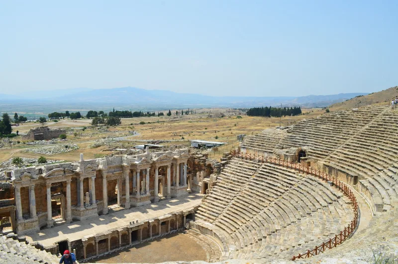
Letoon
Letoon is a Lycian sanctuary near Xanthos in Muğla Province, dedicated to Leto, Artemis and Apollo. Its three temples, theatre and trilingual inscription make it one of southwestern Turkey’s most significant archaeological sites.
Explore →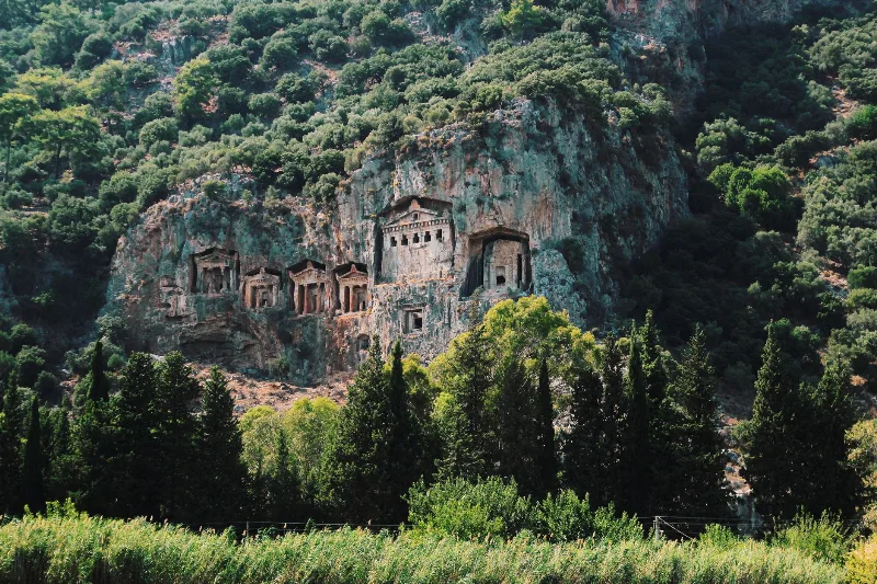
Kaunos
Kaunos is an ancient Carian city on the Dalyan River in Muğla Province, known for its temple-style rock-cut tombs and the extensive ruins of a harbour that silted up centuries ago.
Explore →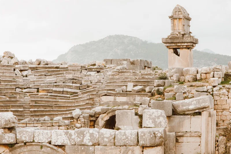
Xanthos
Xanthos is an ancient Lycian city in Antalya Province and a UNESCO World Heritage Site, known for its Lycian tombs, Roman theatre and role as a leading city of Lycia.
Explore →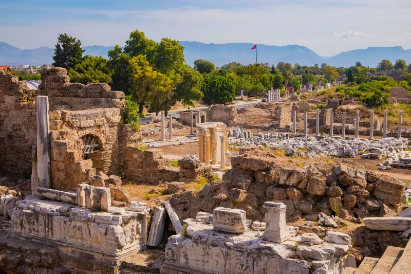
Phaselis
Phaselis is a Rhodian-founded port city on the eastern Lycian coast, where paved streets, agoras, baths and a small theatre stand among pines between three sheltered bays.
Explore →Related content
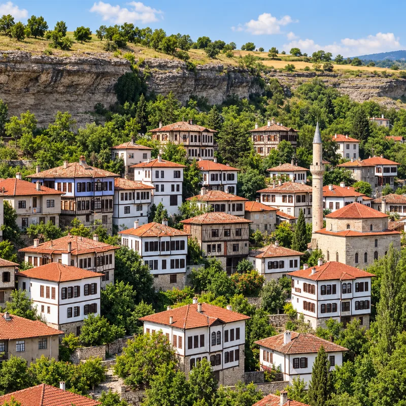
Safranbolu
Safranbolu is a historic district of Karabük Province known for its preserved Ottoman houses, cobbled streets, traditional bazaars and distinctive urban heritage.
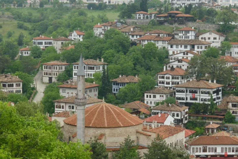
Safranbolu
Safranbolu is a UNESCO-listed Ottoman town in Karabük Province, built around a ravine bazaar and known for hundreds of timber-framed houses, historic bathhouses and the saffron that gave the town its name.
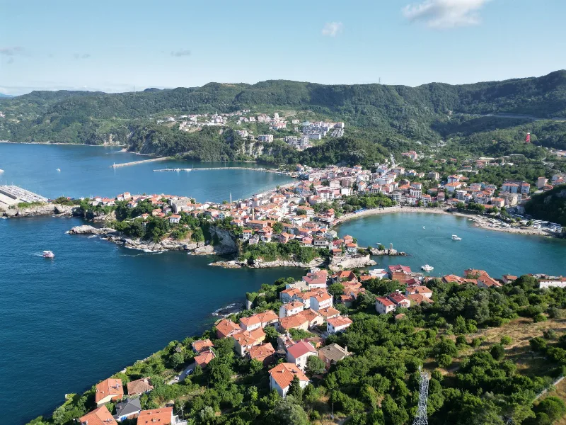
Amasra
Amasra is a small district town in Bartın Province, built on a fortified peninsula on Turkey's Black Sea coast, with two sheltered bays, Byzantine and Genoese walls, and a long history reaching back to the ancient city of Amastris.
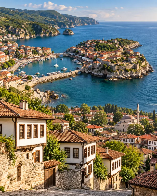
2-Day Safranbolu and Amasra Route
A two-day route combining Safranbolu’s Ottoman streets and traditional houses with the Black Sea scenery and historic harbour town of Amasra.
2-Day Safranbolu and Amasra Route
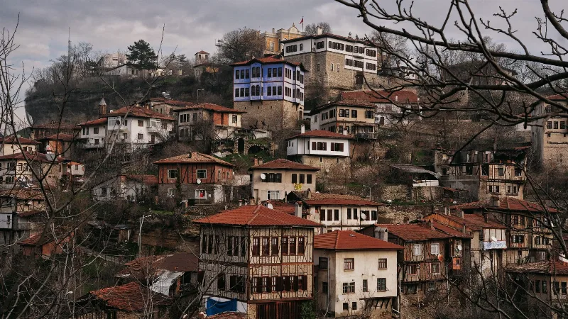
A two-day driving route that starts among the timber-framed houses of Safranbolu, crosses the uplands of Kastamonu and the Küre Mountains, and finishes at the small Black Sea harbour of Amasra.
Exploring Turkey Beyond the Best-Known Destinations
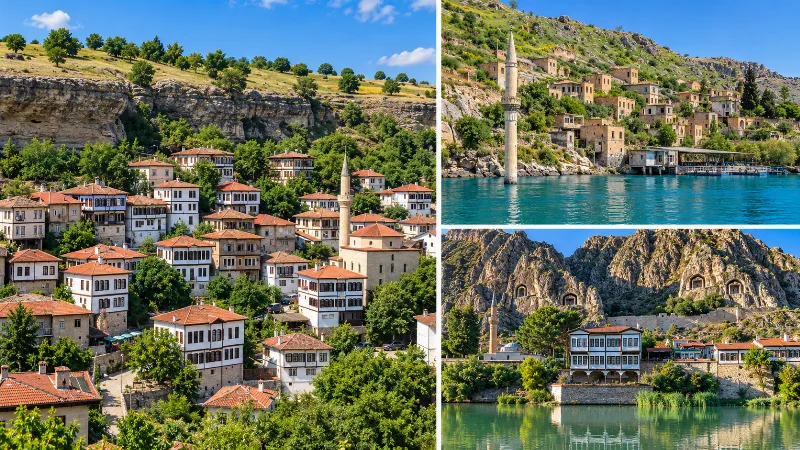
A look beyond Turkey’s most famous destinations to smaller towns, villages, coastlines, highlands and historic landscapes across the country.