
Ayder
Ayder is a highland village in the Çamlıhemşin district of Rize, set in the Kaçkar Mountains and known above all for its thermal springs, timber architecture and waterfalls.
Ayder is a highland settlement in the Çamlıhemşin district of Rize Province, in the eastern Black Sea region of Türkiye. It stands at roughly 1,350 metres above sea level on the northern flank of the Kaçkar Mountains, where the humid forest of the Black Sea hinterland opens into high pasture. Unlike most of the summer grazing plateaus in this part of the country, Ayder is known mainly for its thermal springs, which emerge close to the settlement and have shaped its identity for generations.
Where Ayder Sits in the Kaçkar Mountains
Ayder belongs to Çamlıhemşin, one of the easternmost districts of Rize Province, and it lies within the mountain system known as the Kaçkar Mountains. The settlement occupies a sloping basin above the Fırtına valley, the long, steep river valley that drains much of this part of the province. The surrounding slopes carry dense forest of spruce, fir, beech and hornbeam, a direct result of the very heavy rainfall that makes this stretch of the Black Sea coast one of the wettest parts of Türkiye.
Administratively the plateau is treated as a yayla, a highland village rather than a conventional coastal settlement. Because of the altitude, summers are cooler than on the shore, the snow season is long, and the weather can change quickly. Cloud and mist often move through the valley during the day, and evenings are cold even in high summer.
What Sets Ayder Apart from Other Black Sea Plateaus
Ayder is one of the best-known yaylas in Türkiye, and the reason lies partly in the water. Thermal springs rise here at the edge of the settlement, producing warm, mineral-rich water that has long been used for bathing. This combination of hot water and a high mountain setting distinguishes Ayder from the many other plateau settlements of the eastern Black Sea, which are generally agricultural grazing areas without a thermal resource of their own.
The village is also more developed than most yaylas. A compact cluster of buildings has grown around the springs, and a road connects the plateau directly with the district centre below. Visitors should expect a busy place in July and August, when domestic tourism reaches its peak, and a much quieter one outside the main season.
The Springs and the Waterfalls
The thermal water of Ayder rises warm from the ground and is used in bathing facilities and pools around the settlement. Its reputation as a health and bathing destination is older than the modern tourism era, and the springs remain the main reason many visitors come.
Water dominates the place in another sense as well. Streams fed by snowmelt and rain run down through the plateau, and the best-known fall in the immediate area is Gelintülü, where water drops over a rock face close to the village. Smaller cascades appear along the roads and paths, especially after heavy rain, which is frequent throughout the year.
Village Character and Traditional Architecture
Traditional building in this part of the Kaçkars is the Hemşin house: a timber structure raised on a stone base, with broad wooden balconies and steep roofs designed to shed heavy rain and snow. Many older houses in and around Ayder follow this pattern, although a significant number have been altered, rebuilt or replaced over recent decades as the plateau became more visited. The result is a mix of surviving timber houses and newer construction on the same slopes.
Away from the central cluster, seasonal houses and barns are scattered across the pastures. These are working structures used during the summer grazing months, when families move up with livestock, continuing a pattern of transhumance that has shaped settlement in the Kaçkar highlands for centuries.
Walking Around the Plateau
Ayder can be explored on foot, but the terrain is steep and the ground often wet. Paths lead out of the village towards higher pastures and forest, and the slopes above the settlement open into views down the valley towards Çamlıhemşin and the Fırtına gorge. Walking here is less about covering distance than about gaining height and seeing how the landscape changes from village to pasture to forest.
Fog can reduce visibility quickly, and trails are not always marked. Anyone heading beyond the immediate surroundings should be prepared for mud, roots and loose stone, and should allow more time than the map suggests.
How to Reach Ayder
Ayder is reached by road. From Rize the route follows the coast eastwards and then turns inland through Çamlıhemşin, from which a winding mountain road climbs to the plateau. The final section is steep, with tight bends and drops beside the road, and it passes through forest for most of its length. Regional air access is available through Rize-Artvin Airport and, with a wider choice of flights, Trabzon Airport to the west, both connected along the coastal road. Most visitors arrive by car or coach and continue to the plateau by local transport.
Because the road climbs several hundred metres, conditions at Ayder can differ sharply from the coast. Rain, mist and cold are common even when the seaside is mild and clear.
Best Time to Visit
Summer, roughly from June to September, is the main season, when the pastures are green, the higher paths are open and the village is at its liveliest. Late spring brings high water in the streams and fresh growth on the slopes, but also more rain. Autumn is quieter and the beech and other broadleaved trees turn before the first snow. Winter brings heavy snow to the plateau, and access can become difficult, so the colder months suit only those prepared for mountain conditions.
Practical Notes Before You Go
- The altitude of around 1,350 metres means cooler temperatures and thinner air than on the coast; bring layers even in midsummer.
- Rain is possible in every month. Waterproof clothing and footwear are more useful here than almost anywhere else on the Black Sea coast.
- Paths and open ground are often wet and slippery; sturdy shoes with grip are advisable.
- Facilities on the plateau are largely seasonal, so services are more limited outside the summer months.
- The village is small and walkable, but the surrounding slopes are steep and not suitable for everyone.
Places Nearby That Combine Naturally with a Visit
Ayder sits within easy driving distance of several other highland settlements and historic sites in Çamlıhemşin. The Fırtına valley below is crossed by old stone arch bridges, and the medieval castle known as Zilkale stands on a rocky spur above the valley, both of them genuine landmarks of the district rather than modern attractions.
Higher up, the yaylas of Huser, above Ayder, and Pokut, Gito and Elevit on the surrounding ridges continue the same pattern of summer pasture settlement and timber building. The Kaçkar Mountains National Park, established to protect this alpine and forest environment, begins close to the plateau, and Ayder is commonly used as a starting point for walks and treks into the higher range. Çamlıhemşin itself, with its riverside setting and steep forested slopes, is the natural stopping point on the way up or down.
From the land
Find All →
Beypazarı Carrots
Beypazarı carrots are the sweet, crisp orange carrots grown in the stream-fed valley of Beypazarı, a district of Ankara Province in Central Anatolia. Deep alluvial soils, irrigation water and a long vegetable-growing tradition have tied the district's name to this single root crop.
Explore →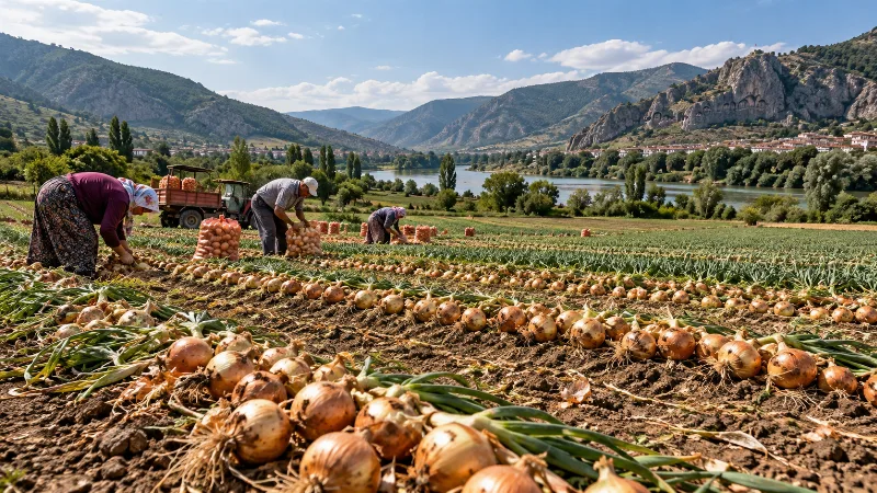
Amasya Onions
Amasya onions are a pungent, long-keeping onion variety tied to the plains and river valleys of Amasya province in northern Türkiye. The region's transitional climate and fertile alluvial soils give the crop its firm bulbs and storage quality.
Explore →
Erzurum Potatoes
Erzurum potatoes are highland potatoes from Erzurum province in Eastern Anatolia, shaped by cool summers, volcanic soils and a short growing season. They are known for their starch-rich texture and full flavour.
Explore →Related content
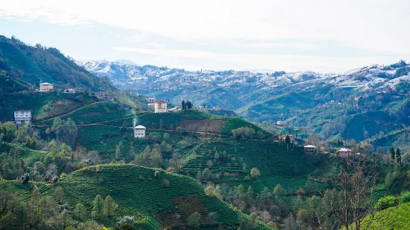
Rize
Rize is the capital of Rize Province on Türkiye's northeastern Black Sea coast, a city shaped by tea plantations, steep forested slopes and the high plateaus of the Kaçkar Mountains further inland.
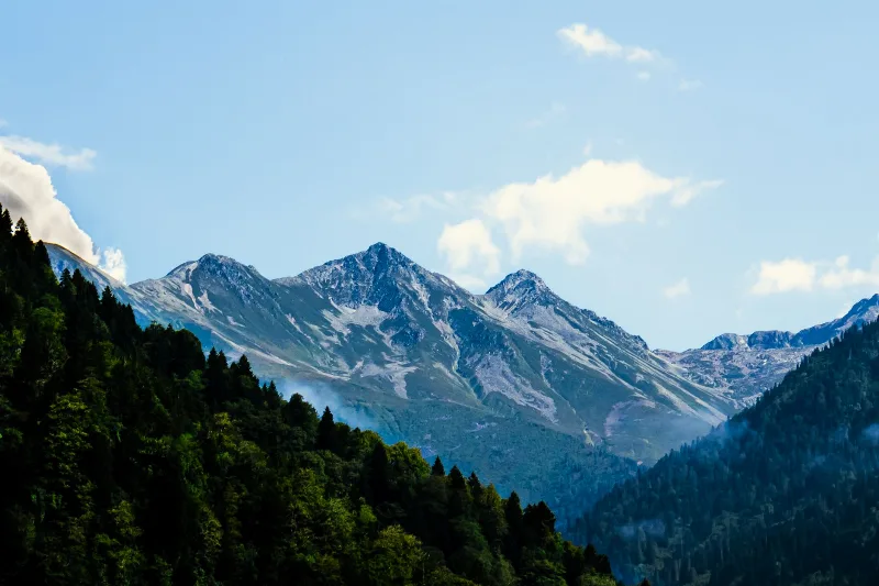
Kaçkar Mountains
The Kaçkar Mountains form the highest section of Turkey's Black Sea ranges, a glacially sculpted landscape of sharp summits, cirque lakes and high summer pastures.
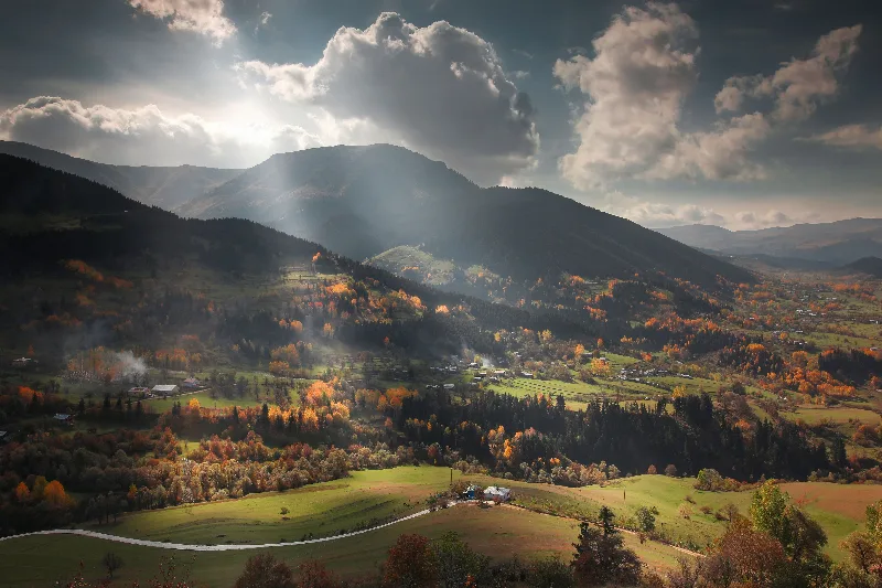
Artvin
Explore Artvin, the northeastern Black Sea region: history, standout sights, landscapes, local food and practical travel advice for an unforgettable journey in Türkiye.
7-Day Eastern Black Sea Highlands Route: Trabzon to Artvin
A seven-day driving route through the Eastern Black Sea highlands, from Trabzon and Sumela to Uzungöl, Ayder, the Kaçkar Mountains and the forests of Şavşat, ending at Artvin.
Nature Reserves of the Black Sea Region
Türkiye's Black Sea coast hides a chain of protected landscapes, from glacial lakes in the Kaçkar Mountains to canyons and old-growth forests in Kastamonu and Bartın.
2-Day Rize and Ayder Route
A two-day linear route from Rize city through the coastal tea gardens and the Fırtına Valley to the Ayder Plateau in the Kaçkar Mountains.