
Doğanbey
Doğanbey is a village in the Söke district of Aydın, split between a modern settlement on the plain and an older, largely abandoned quarter of stone houses once inhabited by a Greek community. Its hilltop streets and coastal setting make it one of the more distinctive places on the Aegean edge of Türkiye.
Doğanbey is a village in the Söke district of Aydın Province, in the part of western Türkiye where the Aegean coast bends south towards the Büyük Menderes delta. The settlement has two clearly separate parts: a working village on flatter ground near the main road, and above it an older quarter of stone houses that was largely left behind during the twentieth century. That upper settlement — historically a Greek village called Domatia — is what most visitors mean by Doğanbey, and its empty lanes, partially restored facades and position on a hillside facing the sea give it a character quite different from the resort towns further south.
Where Doğanbey Sits
The village belongs to Söke, one of the larger districts of Aydın, and lies west of the district centre in the direction of the Dilek Peninsula. The peninsula itself pushes westward into the Aegean and forms the northern wall of the Gulf of Kuşadası, rising into a mountainous ridge that is protected as part of the Dilek Peninsula–Büyük Menderes Delta National Park. Doğanbey sits near the southern flank of that peninsula, where the high ground eases into a coastal strip and then into the flat farmland of the delta.
This position matters for understanding the place. From the old village the land drops away towards the sea, and the coast here is rocky rather than sandy. Offshore to the west lies the Greek island of Samos, and on clear days the island's outline is visible across the water. Behind the village the terrain climbs again into the wooded slopes of the peninsula. It is a setting of scrub, pine, olive and maquis, typical of the eastern Aegean but noticeably greener than the plains around Söke thanks to the moisture the peninsula catches.
Two Villages Under One Name
The most important thing to understand about Doğanbey is that the name covers two distinct places. The lower village, on ground closer to the road, is where most of the population lives today, with ordinary houses and everyday village life continuing around the year. The upper village, reached by continuing uphill, is the older settlement: a compact cluster of stone buildings, many unroofed or partly collapsed, others repaired and back in use.
Because the two parts sit at different elevations, walking between them is part of the visit. The lower village is the practical point of arrival; the upper one is the reason people come. Signs and a short road or track connect them, and the climb is gradual rather than steep.
Stone Architecture and the Old Quarter
The abandoned quarter is built almost entirely in stone. The houses are typically two storeys, with thick rubble walls, small openings and low-pitched roofs. Many were built directly against one another along narrow lanes, so the settlement reads as a dense, almost terraced mass from a distance. Where restoration has taken place, the walls have been repointed and roofs replaced, which makes the surviving buildings stand out against the roofless shells around them.
Fireplaces, doorways and interior niches often survive in the ruined houses, giving a sense of how the rooms were used. The lanes are paved with stone in places and worn in others. Trees — fig, olive, and occasional cypress — grow between the buildings, and in some plots vegetation has moved back into former courtyards. The result is a settlement that is neither fully ruin nor fully restored, and that ambiguity is central to its atmosphere.
Walking Through Doğanbey
A visit on foot takes a couple of hours at an unhurried pace. From the newer village you climb into the old settlement, pass between the stone houses, and follow the lanes as they wind towards the higher edge of the cluster. Several points open up wide views over the coast, the sea and the surrounding hills of the peninsula; these viewpoints are simply gaps between buildings and along the outer paths rather than formal attractions.
Because the ground is uneven and the surfaces are stone, loose gravel or bare earth, sturdy shoes help. There is little shade in the middle of the day, and the older quarter has almost no services, so it is worth carrying water and planning your own timing. The lanes are narrow and not designed for vehicles, which keeps the old quarter quiet even when the lower village is busy.
Historical Background
Doğanbey's older settlement was a Greek village known as Domatia. Its Greek Orthodox inhabitants left in the early 1920s as part of the compulsory population exchange between Greece and Türkiye that followed the Lausanne Treaty, and Muslim families from Greece were settled in their place. The newcomers mainly came from the region around Thessaloniki and other parts of Greek Macedonia.
For several decades the village served as their home. Over time, however, living conditions in the hillside settlement became increasingly difficult, and residents gradually moved down to the flatter ground nearer the road, where access, water and daily necessities were easier. That migration left the old quarter largely empty, its houses exposed to weather and neglect.
From the late twentieth century onwards, restoration work began to bring some of the buildings back into use, supported by public bodies and by individuals who took on individual houses. Today the old quarter contains a mixture of restored and ruined structures, and the contrast between them records both the abandonment and the later effort to keep the settlement standing.
The Surrounding Landscape
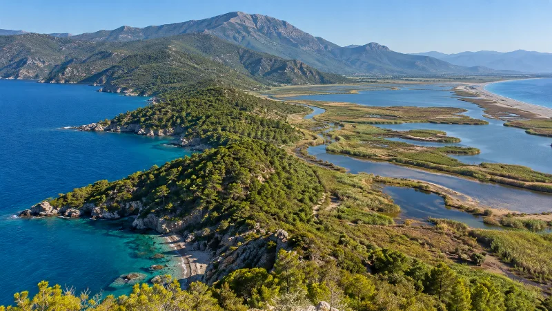
The peninsula above Doğanbey is rugged and heavily protected. Its slopes are covered with pine and maquis, and the national park that covers most of the ridge is known for its plant diversity and for the steep coves along its western and northern shores. The coastline near Doğanbey is rocky, with clear water and a few small bays, but it is not a developed beach strip.
Inland, towards Söke, the land flattens into the plain of the Büyük Menderes, a major river delta that forms one of the most important wetland areas in the eastern Mediterranean. The delta and the peninsula together make up the national park, and the combination of mountain, coast and marsh gives this corner of Aydın a wider range of habitats than most parts of the Aegean coast.
Reaching Doğanbey
Doğanbey is reached from Söke, the nearest district centre, by road heading west towards the Dilek Peninsula. From the main coastal route through Davutlar and Güzelçamlı, a signed side road branches off and leads inland to the village. The journey is short by car, and private transport is the most straightforward way to arrive, since the village sits away from the busiest coastal corridor.
Public transport in the area is oriented towards the larger coastal settlements; services to small inland villages can be limited, so it is sensible to confirm current arrangements locally rather than assume a frequent connection. The roads are generally paved and in reasonable condition, though the final approach to the old quarter is narrow.
When to Visit
The Aegean climate here brings hot, dry summers and mild, wetter winters. Spring, from roughly March to May, and autumn, from September to November, offer the most comfortable conditions for walking, with moderate temperatures and greener surroundings after the winter rains. High summer is hot and bright, and the stone lanes of the old quarter retain heat, so early morning or late afternoon is preferable at that time of year.
Winter visits are possible and the landscape is at its greenest, but rain can make the rougher paths slippery and some days are grey and windy. Whatever the season, the old village is best experienced slowly and on foot.
Nearby Places in the Same Area
Several places sit within easy reach and share the geography of this part of Aydın. Güzelçamlı, further north along the peninsula road, is the main gateway to the national park and its coastal access points. Davutlar lies between Söke and the coast and serves as a larger settlement on the route. Kuşadası, to the south, is the region's best-known coastal town.
Inland from Söke, the ancient site of Priene stands near the village of Güllübahçe, and the Büyük Menderes delta offers wetland scenery and birdlife on the other side of the plain. Together with the wooded slopes of the Dilek Peninsula, these places form the wider context in which Doğanbey sits — a quiet, half-empty stone village at the meeting point of mountain, sea and delta.
From the land
Find All →
Urfa Peppers
Urfa peppers, known locally as isot, are dark red peppers grown and sun-dried in Şanlıurfa province in southeastern Türkiye, where intense heat and very dry air shape their colour, oily texture and mild bitterness.
Explore →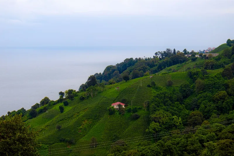
Trabzon Tea
Trabzon tea is the black tea grown on the rain-soaked slopes of Trabzon province on Türkiye's eastern Black Sea coast, where acidic soils and constant humidity create one of the few climates in the country where Camellia sinensis thrives.
Explore →
Bursa Chestnuts
Bursa chestnuts are sweet, starchy nuts grown on the sloping terrain of Bursa province in northwestern Türkiye, where a temperate climate supports chestnut trees and an autumn harvest.
Explore →Related content
Söke
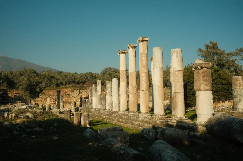
Söke is an agricultural district in Aydın Province, set on the fertile Büyük Menderes plain near the Aegean coast. It is known for cotton and olive production and provides access to Priene and the Dilek Peninsula National Park.

Aydın
Aydın is the inland capital of Aydın Province in Türkiye's Aegean region, recognised for its fig production and its position between the fertile Büyük Menderes valley, the coastal district of Kuşadası and several major ancient sites.
Kuşadası
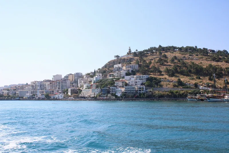
Kuşadası is a lively Aegean resort town and cruise port in Aydın Province, best known for its proximity to the ruins of Ephesus and for a coastline of sandy bays backed by pine-covered hills.
Dilek Peninsula–Büyük Menderes Delta National Park
Dilek Peninsula–Büyük Menderes Delta National Park in Aydın pairs a forested Aegean mountain ridge with a broad river delta of lagoons and reedbeds. The two halves form one of the western coast's most varied protected landscapes.

Didim
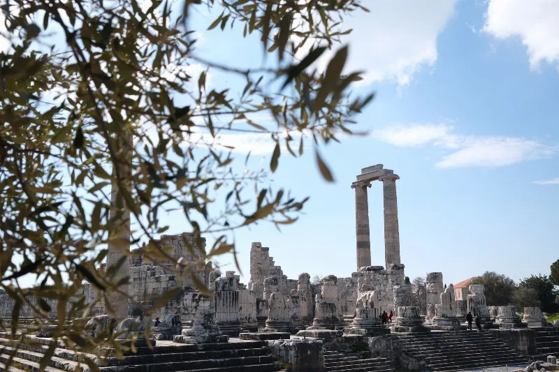
Didim is a coastal district in Aydın Province on Türkiye's Aegean shore, built around the ancient oracular sanctuary of Didyma and its Temple of Apollo, with the sandy beach of Altınkum at its holiday centre.
Priene
Priene is a planned ancient Greek city on the slopes of Mount Mycale in Aydın Province, Türkiye, whose grid streets, theatre and Temple of Athena Polias still trace a Hellenistic urban layout.