
Bergama
Bergama is an inland district of İzmir Province on the Bakırçay plain, built around the ancient city of Pergamon, a UNESCO World Heritage Site reached by a cable car up to its acropolis.
Bergama is a district and district centre in İzmir Province, Türkiye, set inland from the Aegean coast on the Bakırçay plain in the northern part of the province. It is a working agricultural town of low-rise buildings, a long-established weekly market and a weaving tradition, but what defines it internationally is the ancient city of Pergamon, inscribed on the UNESCO World Heritage List and layered directly into and around the modern settlement. Few places in western Türkiye place a Hellenistic capital, a Roman provincial centre, an Ottoman townscape and an active farming economy so closely together.
The Bakırçay Plain and the Surroundings of the Town
The district occupies the broad, flat floor of the Bakırçay valley, the river known in antiquity as the Kaikos, which drains westwards toward the Aegean. The plain is enclosed by hills that rise on both sides, with the Kozak plateau forming higher, pine-covered ground to the north and west. This setting explains Bergama's character: it is fertile, irrigated and cultivated, with cotton and other field crops historically central to the local economy, and it is separated from the sea by a stretch of lower hills and coastal districts rather than sitting on the shore itself.
The modern town spreads across the plain at the foot of the steep hill that carries the acropolis of Pergamon, with the ancient lower city and its monuments interwoven with ordinary streets and housing. Because the archaeological zone is not fenced off from daily life, arriving in Bergama means passing through the ancient city as much as visiting it.
Pergamon: From the Attalid Kingdom to the Province of Asia
Pergamon emerged as a major power in the Hellenistic period, when the Attalid dynasty ruled a kingdom centred here and turned the city into one of the most important cultural centres of the Greek world. Its library was famous across the Mediterranean, and the city is traditionally associated with the development of parchment as a writing material. After the last Attalid ruler bequeathed the kingdom to Rome, Pergamon became the administrative centre of the Roman province of Asia, a role that reshaped its monuments and its urban plan.
The city also holds a place in early Christian history as one of the seven churches addressed in the Book of Revelation. Much of what was uncovered here in the nineteenth century is now dispersed: the sculpted reliefs of the Great Altar are held in Berlin, which is why the acropolis today is read as a landscape of foundations, terraces and reconstructed settings rather than a single intact monument. Detailed coverage of individual monuments belongs with the historic places material for the region; this district overview is intended as a geographic starting point.
The Acropolis, the Terraces and the Cable Car
The acropolis sits on a dramatic hill north of the town centre, and its walls, terraces and steep theatre built into the slope are visible from much of the plain below. A cable car now ascends toward the summit area, offering an alternative to the winding road and giving a clear sense of how the ancient city was organised vertically: civic and religious buildings on the heights, the market and residential quarters below, and the river plain beyond.
From the upper terraces the view takes in the whole Bakırçay basin, the roofs of the modern town and, on clear days, the hills toward the coast. The ascent is as much about understanding the geography of Pergamon as it is about reaching the ruins.
The Lower City: Red Basilica, Asclepion and the Museum
Down in the town, the Red Basilica is the most conspicuous ancient structure in Bergama itself: a vast brick building from the Roman period, originally associated with Egyptian deities and later adapted for Christian use, standing beside the river in the middle of the modern street grid. The Asclepion, the healing sanctuary of antiquity, lies on the western edge of the town toward the plain, and was one of the most consulted medical centres of the ancient world.
The Bergama Museum gathers finds from the excavations and from the wider district, and functions as a useful orientation point before or after visiting the archaeological zones. Together, these three locations show that Pergamon was not confined to a single hill but spread across the valley floor.
The Modern Town: Bazaars, Weaving and Everyday Bergama
Beyond the antiquities, Bergama is a district centre of the Aegean hinterland, with a market tradition that draws traders from the surrounding villages and a long history of carpet weaving. The streets around the central bazaar combine Ottoman-era structures, older houses, workshops and tea gardens in a way that reflects a town that grew continuously rather than being rebuilt for visitors. This is the part of Bergama that explains the local economy and society, and it is where the district's rural connections are most visible.
The Kozak Plateau and the Edges of the District
To the north and west, the land rises to the Kozak plateau, an area of pine forest known for the production and gathering of pine nuts, a distinctive element of Bergama's regional produce. The plateau offers a cooler, wooded contrast to the plain and forms part of the district's rural hinterland alongside scattered villages that depend on forestry, livestock and orchard crops.
Downstream to the west, the Bakırçay approaches the coast near Dikili, and the wider region connects northwards toward Ayvalık and southwards toward Aliağa and the Gulf of Çandarlı. Bergama therefore sits at the hinge between the Aegean shoreline and the inland valleys, which is precisely why it became a regional capital in antiquity.
Climate, Timing and Getting Oriented
The district has a Mediterranean climate with hot, dry summers and mild, wet winters; because it lies inland, days in summer can feel hotter and drier than on the coast, and winters are somewhat cooler than at the shoreline. Spring, when the plain is green and temperatures are moderate, and early autumn are generally the most comfortable periods for walking the acropolis and the lower city.
Bergama is reached by road from İzmir, with the main corridor running north through Menemen and Aliağa, where the regional rail line ends and road transport continues toward the district. Coastal connections run west to Dikili and north toward the Ayvalık area. Within the district, the archaeological zones, the town centre and the surrounding villages are close enough to be combined over a day or two, but they are distinct places, and planning around distance on the plain rather than around the town alone makes for a clearer visit.
Discover Food in Türkiye
All food →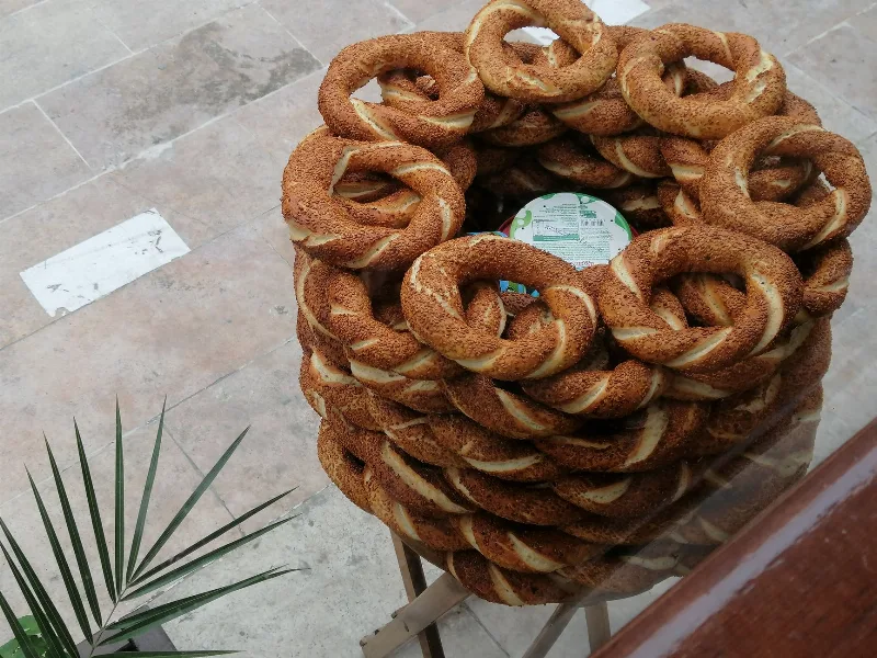
Simit
Simit is a ring-shaped Turkish bread covered in sesame seeds, strongly associated with Istanbul and sold as everyday street food. It is eaten fresh, most often with tea, and has a crisp crust around a chewy crumb.
Explore →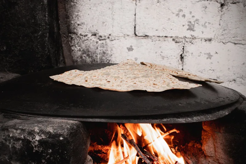
Bazlama
Bazlama is a soft, thick Turkish flatbread made from a leavened dough and cooked on a hot griddle. It is a staple of village baking across Anatolia, eaten warm with butter or used to wrap other foods.
Explore →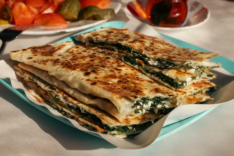
Gözleme
Gözleme is a thin, hand-rolled Anatolian flatbread folded around savory fillings such as cheese, spinach, or minced meat and cooked on a sac griddle. The article covers its regional variations, cooking method, texture, and traditional serving style.
Explore →Related content
Pergamon
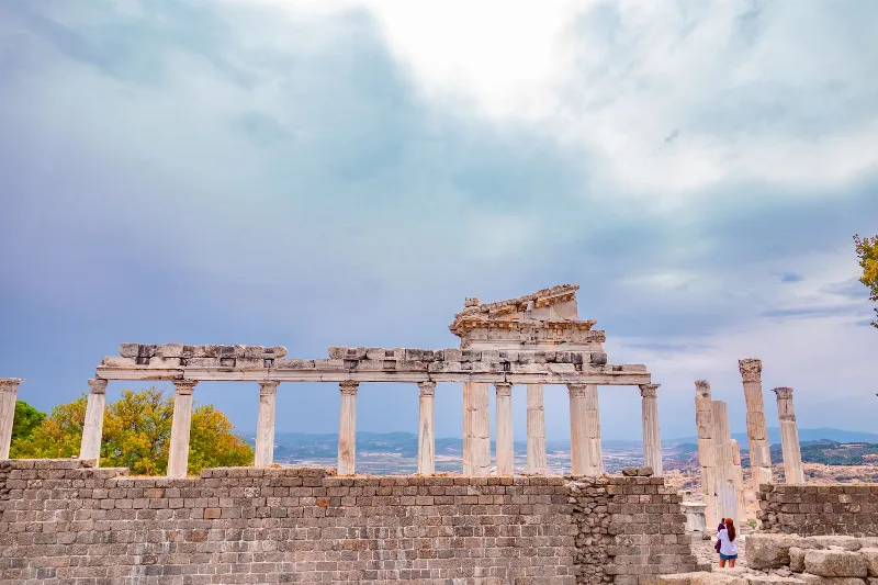
Pergamon was the Hellenistic capital of the Attalid dynasty in western Türkiye, built around a steep acropolis above the modern town of Bergama. Its Great Altar, theatre and Sanctuary of Asclepius make it one of the most important archaeological sites in Anatolia and a UNESCO World Heritage Site.
Pergamon
Pergamon is an ancient Greek city in Aeolis, today the modern town of Bergama in İzmir Province, Türkiye. Its acropolis, library and Great Altar of Zeus, together with the Asclepion healing sanctuary, form one of the most important archaeological settings in the eastern Mediterranean.
Ayvalık
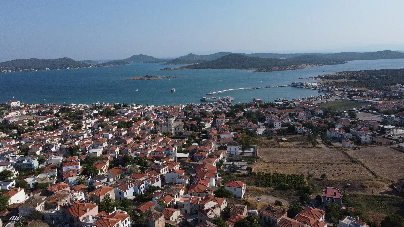
Ayvalık is a coastal district of Balıkesir Province in western Türkiye, known for its olive oil, its Greek-influenced old town and the offshore island of Cunda.
2-Day Bergama and Ayvalık Route: Pergamon to Cunda Island
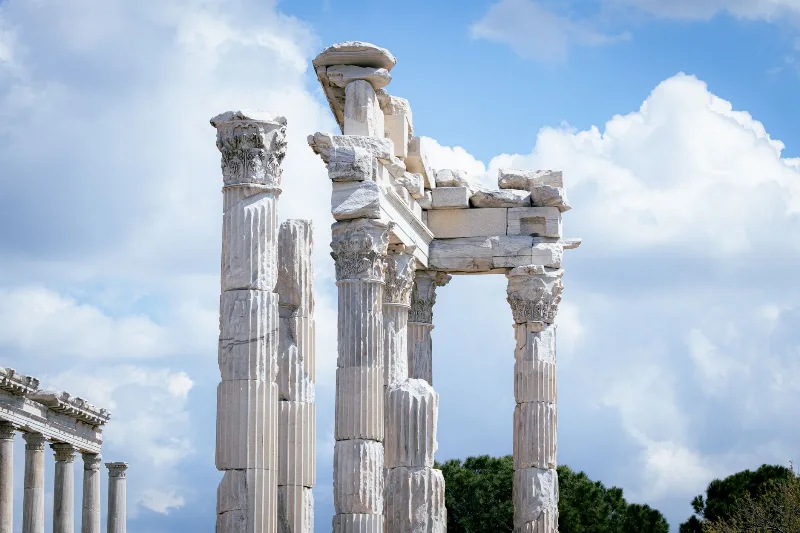
A compact two-day route that pairs the terraced ruins of ancient Pergamon in inland Bergama with the olive-growing Aegean coast at Ayvalık and the causeway-linked island of Cunda.
4-Day North Aegean Coast Route
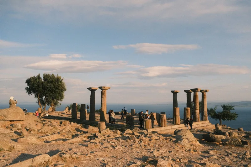
A four-day linear route along the North Aegean coast from Assos to İzmir, with stops at Ayvalık, Cunda, Dikili, Çandarlı, Bergama and Foça. The itinerary is designed for a realistic coastal and inland road trip by car.
7-Day North Aegean to Ephesus Route
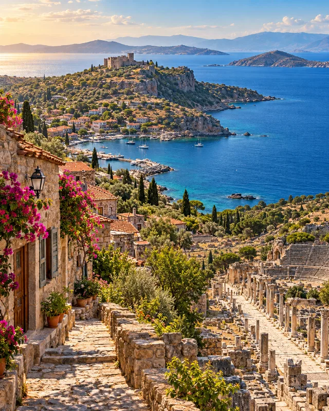
A seven-day southbound route through Troy, Assos, Bozcaada, Ayvalık, Bergama, İzmir and Ephesus, combining archaeology, coastal towns and Aegean culture.