
Mount Tendürek
Mount Tendürek is a broad shield volcano in eastern Turkey, close to the Iranian border, whose summit caldera contains two craters, a small lake and active fumaroles. Its bare lava slopes rise above the high pastures between the Ağrı and Van provinces.
Mount Tendürek is a volcanic mountain in the far east of Turkey, rising between the provinces of Ağrı and Van in the uplands close to the Iranian border. It is not a sharp peak but a wide, gently swelling shield volcano built up from successive lava flows, with a summit that reaches about 3,533 metres. Above roughly 2,000 metres the mountain is almost entirely bare of forest, and its most distinctive feature is a broad caldera at the top containing two craters, the eastern of which holds a small crater lake and ground that is still visibly active with fumaroles and mineral deposits.
Where Mount Tendürek stands
The mountain belongs to the Doğubayazıt district of Ağrı on its northern side, while its southern flanks fall towards the Van plain. It occupies the high ground between the two, forming one of the most prominent elevations in the landscape south of Mount Ararat. Because it sits on a broad plateau rather than in a narrow range, the volcano is visible from a wide area, and its long, low profile is often read as a dark band on the horizon rather than as a single cone. The summit area lies well above the surrounding pasture land, so the mountain forms a clear climatic and vegetational boundary between the more sheltered valleys around Doğubayazıt and the open country to the south.
A shield volcano built from lava flows
Tendürek is among the youngest volcanic structures in Turkey, belonging to the same broad belt of recent volcanism as Mount Ararat, Süphan and Nemrut. Its shape is the result of fluid basaltic lava that spread out over long distances in thin sheets instead of piling up into a steep cone. The result is a low, broad mass with shallow slopes, and solidified lava can be seen across large parts of the upper mountain where the surface is exposed. Unlike stratovolcanoes with a single central vent, Tendürek has erupted from a wide summit area, which is why the top is a caldera rather than a pointed summit.
The caldera and the two summit craters
The caldera near the top is several kilometres across and encloses two distinct craters. The larger, western crater is dry, while the eastern crater holds a small body of water and is the focus of the mountain's present-day activity. Sulphur deposits and coloured mineral staining are visible around the vents, and the ground in this area is warm, with steam escaping from fissures. This combination of a cold high-altitude setting and hot ground is what makes the summit of Tendürek unusual among Turkish mountains: the crater area is a geothermal landscape rather than a purely erosional one.
Vegetation and the high pasture environment
The flanks of Tendürek carry no forest. Below the summit the slopes are covered by alpine and subalpine meadow, thinning into sparse cushion plants and low grasses as altitude increases, and giving way to bare rock, scree and old lava surfaces near the top. The mountain is part of a wider pastoral landscape, and the meadows around its base are traditionally used as summer grazing grounds by livestock herders, whose animals move up as the snow retreats. This grazing pattern, rather than any agricultural settlement, is the main human presence on the mountain's lower slopes.
How the mountain changes through the year
The climate here is harsh and continental, with long, very snowy winters and short, cool summers. Snow lies on the upper slopes for much of the year and can persist into early summer in sheltered hollows, while the summit area is exposed to strong wind and frequent cloud. Late spring and summer bring the clearest conditions and the greatest access to the higher ground; the meadows green up quickly once the snow goes and then dry to a brown-gold by late summer. Autumn arrives early at this altitude, with rapid cooling and fresh snow possible on the tops well before the valleys below see any. Winter makes the mountain a genuinely high-alpine environment, with deep snow and difficult conditions.
Reaching and crossing the Tendürek area
The mountain lies on the corridor between Doğubayazıt, to the north, and the towns of the Van plain to the south, and a road crosses the high ground on the mountain's flank rather than climbing to the summit. Most travellers encounter Tendürek in passing, as the landscape they cross between the two regions. The nearest substantial settlements are Doğubayazıt and Çaldıran, and the wider area is served by the regional connections of Ağrı and Van. Distances in this part of Turkey are long, the altitude is significant, and the weather on the pass can differ sharply from conditions in the valleys on either side.
Practical conditions to know before visiting
Because the mountain is high and exposed, the main considerations are altitude, weather and the absence of shade, water or shelter on the upper slopes. Cloud can descend quickly and reduce visibility, and the combination of wind and cold at over 3,000 metres makes warm, windproof clothing necessary even in midsummer. The ground around the craters is hydrothermally altered and unstable in places, and the steam vents and hot ground should be treated with caution. There are no reliable facilities on the mountain itself, so supplies need to be carried. Anyone planning time above the pastures should be prepared for a remote highland environment where help is not close at hand.
Related natural landscapes nearby
Tendürek sits within a cluster of significant natural features. Mount Ararat rises to the north beyond Doğubayazıt and dominates the skyline from much of the surrounding plain. To the south lies the Van basin and the great alkaline expanse of Lake Van, while further west the volcanic mass of Nemrut and the high country around Süphan continue the same geological story. The open steppe and pasture between these mountains, dotted with small settlements and seasonal grazing areas, is what gives this corner of eastern Turkey its particular character: a high, dry volcanic plateau where bare lava, meadow and water sit side by side.
Beaches & bays
See the coast →
Related content
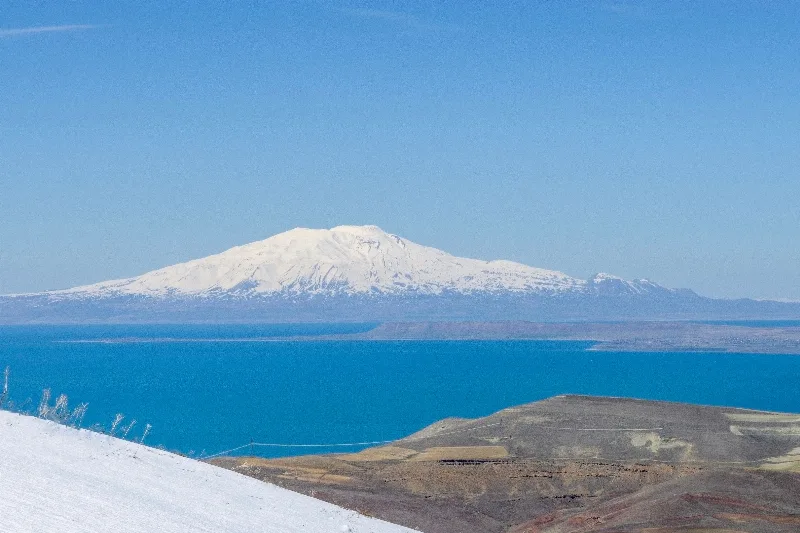
Ağrı
Explore Ağrı, eastern Türkiye: history, standout sights, landscapes, local food and practical travel advice for an unforgettable journey in Türkiye.
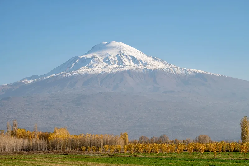
Mount Ararat
Mount Ararat (Ağrı Dağı) is a dormant, snow-capped stratovolcano in eastern Turkey and the country's highest mountain, rising in two distinct cones above the Iğdır Plain near the Iranian border.
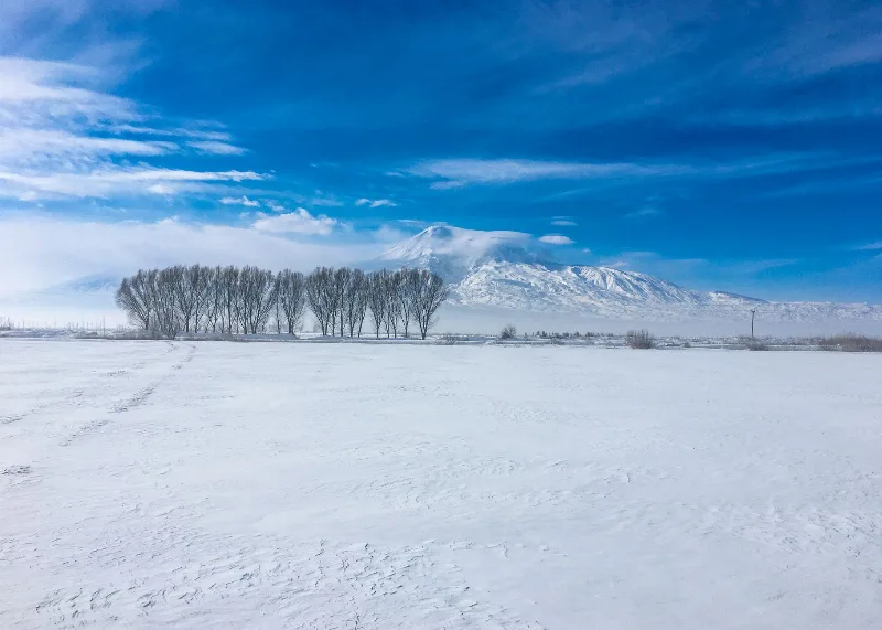
Mount Ararat
Mount Ararat is a dormant stratovolcano in eastern Türkiye and the country's highest mountain at 5,137 metres, known for its twin peaks, permanent ice cap and the long-standing Noah's Ark tradition.
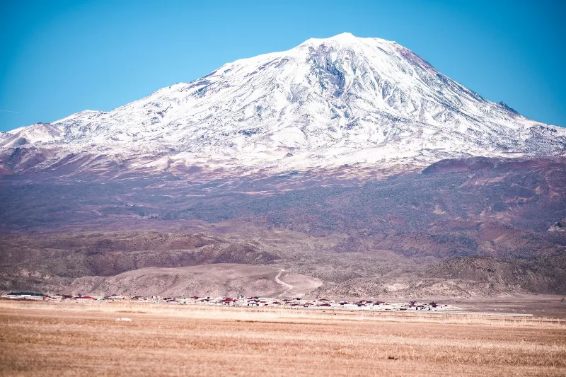
Mount Ararat Adventures
Mount Ararat, or Ağrı Dağı, is Türkiye's highest mountain, a snow-capped volcano in the far east that draws hikers with its high camps, wide plains and layers of legend.
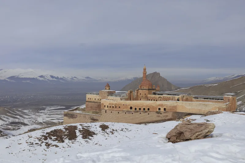
Ishak Pasha Palace
Ishak Pasha Palace is a late Ottoman palace complex in Doğubayazıt, Ağrı Province, eastern Turkey. Built between the late 17th and late 18th centuries, it is known for its stone architecture, which combines Ottoman, Seljuk, and Persian elements.
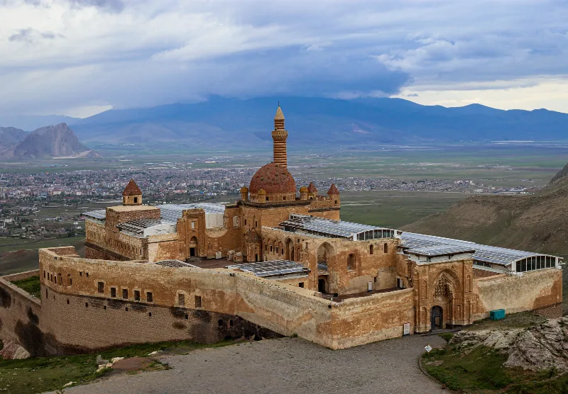
Ishak Pasha Palace
Ishak Pasha Palace is a partly ruined Ottoman palace complex built above Doğubayazıt in eastern Türkiye. Raised between the late 17th and late 18th centuries, it is known for combining Ottoman, Persian, Seljuk and Armenian building and decorative traditions on a terrace facing Mount Ararat.