
Mount Uludağ
Mount Uludağ is a granite massif rising above Bursa in north-western Türkiye, topped by a 2,543-metre summit and protected as one of the country's oldest national parks. Its forest belts, high meadows, glacial landforms and long snow season shape both its landscape and the way it is visited.
Mount Uludağ is a mountain massif in Bursa Province in the Marmara region of north-western Türkiye, rising directly south of the city of Bursa. Its highest point, Kartaltepe, reaches about 2,543 metres, making it the tallest mountain in the region around the Sea of Marmara. The massif is a single, broad upland rather than a narrow ridge, with forested lower slopes, high open meadows and rocky summits. It is a mountain environment defined by altitude: the landscape changes noticeably from the wooded foothills to the bare upper zones, and snow stays on the upper slopes for much of the winter.
Where the Mountain Sits
Uludağ occupies a large area south and south-east of Bursa, the province's main city, and is separated from the coast of the Sea of Marmara by the plain on which Bursa spreads. The massif stands as a clear block of high ground between the coastal lowlands and the inland basins to the south. Because it rises steeply from near sea-level surroundings to well over 2,000 metres, the mountain forms a distinct climatic and ecological boundary, catching moisture and holding snow in a way that the surrounding lowlands do not.
In classical times the mountain was known as the Olympus of Mysia, and it has long been a landmark for the settlements around its base. Today the upper part of the massif lies within Uludağ National Park, which was established in 1961 and is among the oldest national parks in Türkiye.
Geology and Glacial Landforms
Uludağ is largely built of hard igneous and metamorphic rocks, which give it a resistant, block-like form. The most distinctive physical feature of the high mountain is its glacial legacy. During colder periods of the Pleistocene, small glaciers occupied the upper basins, and their traces remain visible in the landscape as cirques, hollows and moraine ridges. A small number of shallow glacial lakes sit in these basins near the summit zone, fed by snowmelt and rain rather than by large rivers.
The upper slopes are rocky and sparse, while the middle and lower slopes are covered by deeper soils formed from weathered rock. This contrast between the bare summit plateau and the forested flanks is one of the mountain's defining characteristics.
Vegetation and Altitude Zones
The mountain is clearly layered by altitude. The lower slopes carry mixed forest, with deciduous trees such as beech alongside conifers. Higher up, coniferous forest, including fir and pine, becomes dominant and forms dense stands across wide bands of the massif. Above the tree line, the vegetation thins into alpine meadow and low shrubs, and the highest ground is largely rock, scree and thin grasses.
This sequence of forest, subalpine woodland and open high meadow is what distinguishes Uludağ from lower forested hills in the region. The upper meadows are especially open and wind-exposed, offering long views across the massif and toward the surrounding lowlands.
Wildlife of the Massif
The national park protects a range of wildlife typical of Türkiye's western mountains, supported by the combination of dense forest and open high ground. Wild mammals and birds of prey are associated with the protected area, and the forest belts provide cover and habitat across a large, continuous block of mountain terrain. The relative inaccessibility of parts of the upper massif has helped maintain these habitats.
The Mountain Through the Seasons
Snow dominates the upper mountain through the winter months, when the high slopes and the area around the main settlement zone are covered and the surface is frozen or packed. Spring arrives later at altitude than in Bursa below, with snowmelt feeding the small lakes and streams and the high meadows turning green as the snow retreats. Summer brings the most accessible conditions on the upper mountain, with the meadows open and the ground generally firm, though the high zone remains cool and changeable. Autumn returns colour to the deciduous forest on the lower slopes and is followed by the first snows of the new season.
The snow season is long enough that winter conditions extend well beyond the calendar winter on the highest ground, and travellers should expect snow or ice on upper routes even when Bursa itself is mild.
Reaching and Moving Around the Mountain
The mountain is reached from Bursa, which is the main gateway to the area. A cable car line climbs from the lower edge of the city into the mountain, providing direct access to the middle elevations and connecting to the road network on the upper slopes. A road also winds up from the Bursa side, passing through forest and reaching the main high-elevation zone where facilities are concentrated.
Once on the mountain, movement is largely by road and by foot on paths and tracks within the national park. The terrain is steep in places, and the upper zone is open and exposed. Distances on the mountain are greater than they appear, because the road must climb and curve with the slope.
Practical Conditions to Know
The mountain is high enough that weather can differ sharply from the city below. Cooler temperatures, stronger wind and rapid changes in cloud are normal on the upper slopes, and snow or ice can persist on the highest ground into late spring. The alpine zone offers little shelter, so conditions there should be judged on the day rather than on conditions in Bursa. Anyone moving above the forest should be prepared for cold and for changes in visibility.
Because much of the massif lies within Uludağ National Park, the area is managed as a protected natural environment, and visitors should respect the restrictions that apply within the park boundaries.
Related Natural Places Around the Region
Uludağ sits within a wider landscape of natural features in and around Bursa Province. The forested mountain slopes run down toward the coastal belt by the Sea of Marmara, and the district of Mudanya lies on that coast. Lake Uluabat, west of Bursa, is a separate lake environment with its own wetland character, and the historic village of Cumalıkızık sits on the lower slopes of the mountain itself. Together these places show how quickly the terrain shifts from high mountain to plain, lake and coast in this part of Türkiye.
Beaches & bays
See the coast →
Related content
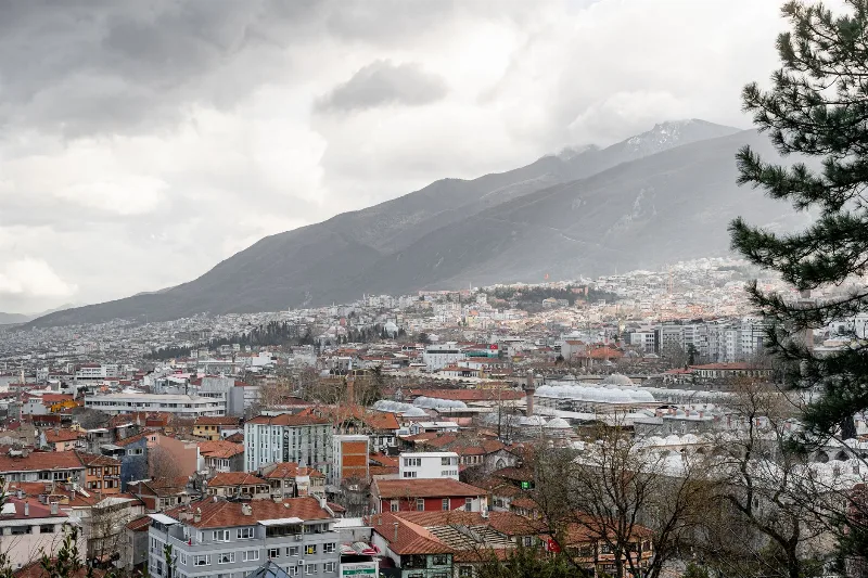
Bursa
Bursa is a major metropolitan city in northwestern Türkiye and the first great capital of the Ottoman Empire, known for its silk heritage, thermal springs and the mountain of Uludağ rising directly behind it.
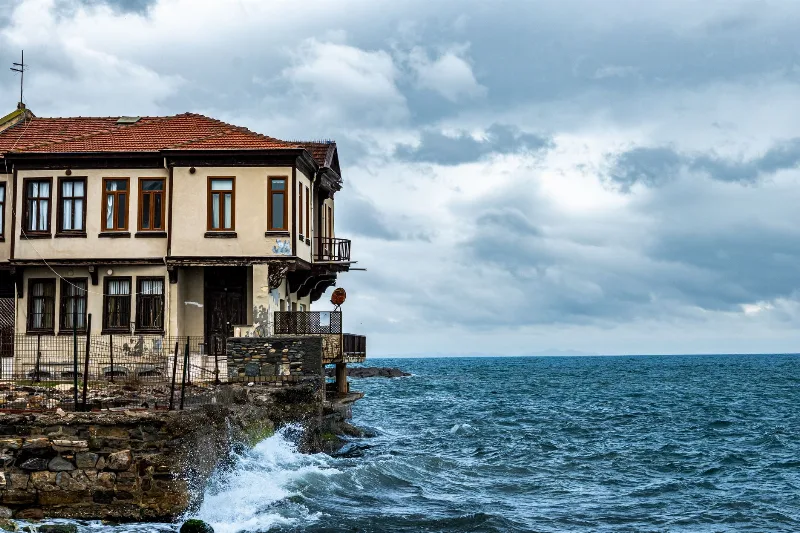
Mudanya
Mudanya is a coastal district of Bursa Province on the southern shore of the Sea of Marmara, known for the house where the 1922 Armistice of Mudanya was signed, its working harbour, and its long shoreline of olive groves and former Greek villages.
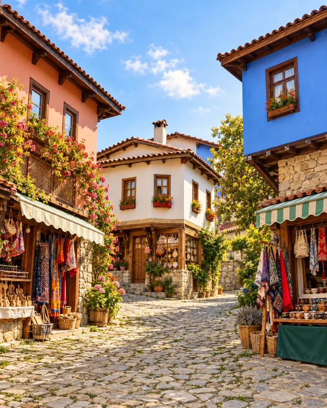
Cumalıkızık
Cumalıkızık is a historic Ottoman village in Bursa, Turkey, known for its well-preserved houses and cobblestone streets. It is part of the UNESCO World Heritage Site 'Bursa and Cumalıkızık: the Birth of the Ottoman Empire'.
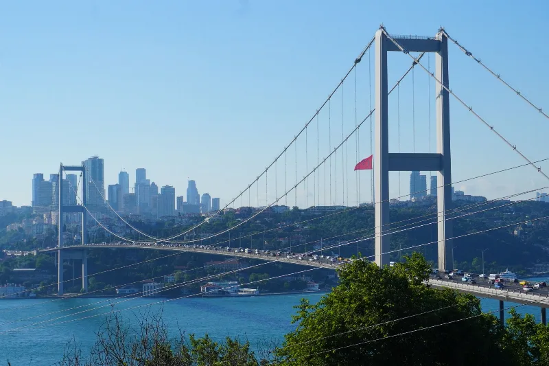
3-Day Istanbul to Bursa Route
Explore the first Ottoman capital on a three-day route from Istanbul to Bursa, combining historic city sites, the mountain landscapes of Uludağ, and the preserved village of Cumalıkızık.
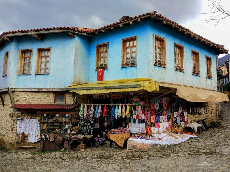
The Ottoman Village of Cumalıkızık Near Bursa
Cumalıkızık, a preserved Ottoman village on the slopes of Uludağ near Bursa, is known for its cobblestone lanes, painted historic houses and long-standing rural traditions that continue today.

2-Day Bursa and Uludağ Route
A two-day route through Bursa's Ottoman monuments and up to the Uludağ National Park by cable car, combining city walking with mountain hiking or skiing.