
Sagalassos
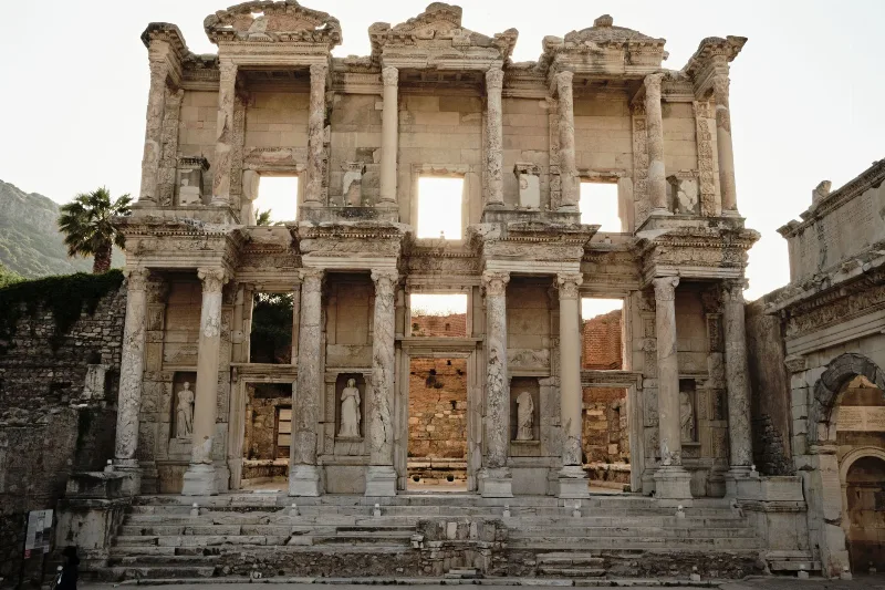
Sagalassos is a ruined Pisidian city in Burdur Province, Türkiye, set high in the Taurus Mountains and best known for its monumental fountain, library and remarkably intact Roman civic buildings.
Sagalassos is an ancient Pisidian city in Burdur Province, in the south-west of Türkiye, built on the slopes of the Taurus Mountains above the modern district of Ağlasun. It sits at roughly 1,450 to 1,600 metres above sea level, which places it among the highest surviving classical cities in the eastern Mediterranean. The site is notable for the scale and preservation of its Roman-era civic architecture, especially a monumental fountain and a library, and for the ongoing archaeological work that has continued there since the early 1990s.
Where Sagalassos Is and How It Sits in the Landscape
The city occupies a series of terraces on a mountain slope facing south-east, above the Ağlasun valley. That position gave it control over a fertile plain, a route through the mountains and clear lines of sight across the surrounding peaks. Burdur city lies roughly 30 kilometres to the north-west, Isparta is to the north-east, and Antalya can be reached across the Taurus range to the south.
The setting is part of why the site survives so well. The elevation brings cold, snowy winters and a shorter working season, which limited later settlement and helped preserve buried structures. The same altitude gives the ruins a dramatic backdrop of pine-covered ridges, scree slopes and karstic limestone.
Why Sagalassos Matters
Sagalassos was a Pisidian settlement, part of a group of mountain communities in the ancient region of Pisidia. It came under wider Mediterranean influence after Alexander the Great's campaign in the region, and later passed into the Roman world, where it flourished during the imperial period. Its wealth came from agriculture, especially olives and grain from the surrounding valley, and from its position on routes linking the Anatolian interior with the coast.
What distinguishes the site today is the quality of its public architecture. During the second century AD the city rebuilt and enlarged many of its central buildings, and several of these were later buried by earthquakes, landslides and sediment. That burial protected decorative elements and statuary that might otherwise have been reused or destroyed. Excavations have produced large numbers of sculpted works and architectural pieces, which have shaped understanding of Roman provincial urbanism in Asia Minor.
What Can Be Seen at the Site
The ruins cover a substantial area and are best understood as a sequence of districts along a walking route rather than a single cluster of monuments.
- The Antonine Nymphaeum and associated fountain complex on the upper terrace, a monumental public water display fed by an aqueduct system.
- The Neon Library, a small but richly detailed building named in its dedicatory inscription, with surviving floor material and wall structure.
- The upper and lower agoras, the commercial and civic squares at the heart of the city.
- The theatre, cut into the slope, with seating and stage structures still legible in outline.
- The bouleuterion and odeon, used for council meetings and performances.
- Bath complexes with surviving heating and drainage elements.
- The Temple of Antoninus Pius and the sanctuary of Zeus in the upper city, tied to imperial cult and local religious practice.
- Street systems, steps, colonnaded ways and terrace walls that show how the city was engineered onto steep ground.
Because excavation and conservation are ongoing, some structures are covered, fenced or supported by scaffolding at any given time. The visible extent of the site changes as work progresses.
Historical Context in Brief
Pisidian Sagalassos appears in historical records in connection with the campaigns of Alexander the Great, after which it entered a period of Hellenistic influence. Under Roman rule it was organised as a city within the province of Asia, and later within the wider provincial arrangements of Anatolia. Its peak of monumental building came in the second century AD. From late antiquity onward the city contracted, with earthquakes, changing trade patterns and shifts in settlement contributing to its abandonment. It was left largely uninhabited and gradually covered by soil and vegetation before systematic excavation began in the modern period.
The Site Museum at Ağlasun
A museum in Ağlasun displays finds from the excavations, including sculpture and architectural decoration recovered from the city. It gives context to the ruins themselves, particularly for visitors who want to understand the statue groups and carved ornament that have been lifted from the site.
Access and Practical Visiting Information
The site is reached from Ağlasun by road, and the final stretch runs uphill to a parking and entrance area below the main terraces. Distances and travel times vary with road conditions, so it is worth checking current local information before setting out. Private vehicles and organised transport are the usual means of access; public transport options are limited and change over time.
Facilities at the site are basic. There is no large commercial zone, and food and drink are generally found in Ağlasun rather than at the ruins. Visitors should plan to bring water, sun protection and suitable footwear, and should not rely on shops or cafés at the entrance.
Opening hours, ticket arrangements and any seasonal closures are set locally and can change. Confirm current details close to the date of travel rather than relying on older information.
Terrain, Walking and Accessibility
The city was built on a slope, and the main route between the lower and upper areas involves stepped paths and uneven stone surfaces. It is a walking site rather than a drive-through one. Visitors with limited mobility should expect difficulty on the steeper sections, and there are few alternatives to the stepped routes.
Paths are not uniformly surfaced, and loose stone and reconstructed paving occur in places. Sturdy shoes matter more here than at many archaeological sites. The route takes time; a visit is usually measured in hours rather than minutes.
Climate and Best Time to Visit
Sagalassos has a continental mountain climate. Summers are warm to hot and dry in daylight, while winters bring cold, snow and the possibility of closures. Spring and early autumn generally offer the most comfortable conditions for walking, with milder temperatures and clearer ground. Snow can lie on the site in winter, and storms in the mountains can arrive quickly, so weather should be checked before travelling.
Morning visits are common because of the heat on the south-facing terraces and because afternoon cloud can build over the ridges.
Nearby Places of Interest
The surrounding region offers additional destinations that combine naturally with a visit. Burdur city, a short drive north-west, has its own archaeological museum and lake. Ağlasun itself is the practical base for the site. Further afield, Isparta lies to the north-east, and the lakes and mountain landscapes of the wider Burdur and Isparta provinces provide wider context for the Pisidian world in which Sagalassos developed.
Things Worth Knowing Before You Go
- The elevation means noticeably cooler temperatures than the coastal resorts, even in the same season.
- Some monuments are protected by shelters or closed during conservation work.
- Combining the ruins with the museum in Ağlasun gives a much fuller picture of what was found.
- Interpretation panels are present but limited in number, so background reading before arrival helps.
- Water, sun protection and appropriate shoes are essential rather than optional.
Sagalassos rewards visitors who come prepared for a steep, exposed and genuinely archaeological landscape rather than a manicured attraction. Its value lies in the combination of altitude, preservation and the density of Roman public architecture that survives across its terraces.
Related content
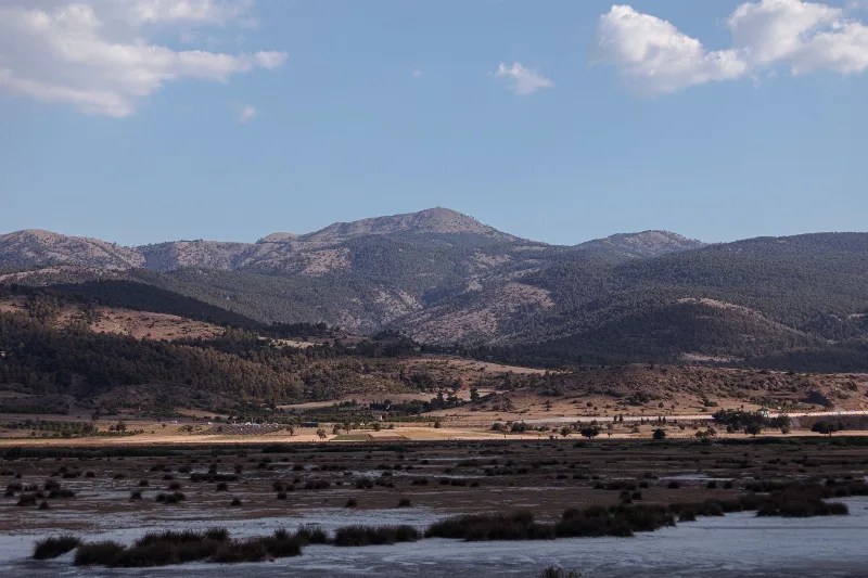
Burdur
Burdur is a provincial capital in southwestern Türkiye, set in the inland Lakes District beside a large saline lake and known for the Roman ruins of Sagalassos and one of Anatolia's oldest Neolithic settlements.
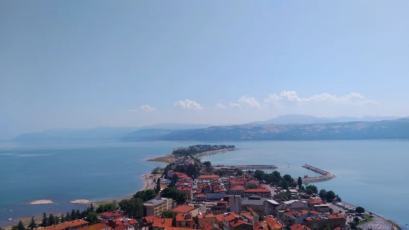
Isparta
Isparta is a city in southwestern Türkiye, renowned for its rose oil production and apple orchards. It serves as a hub for the Lakes Region, with Lake Eğirdir and several natural parks nearby.
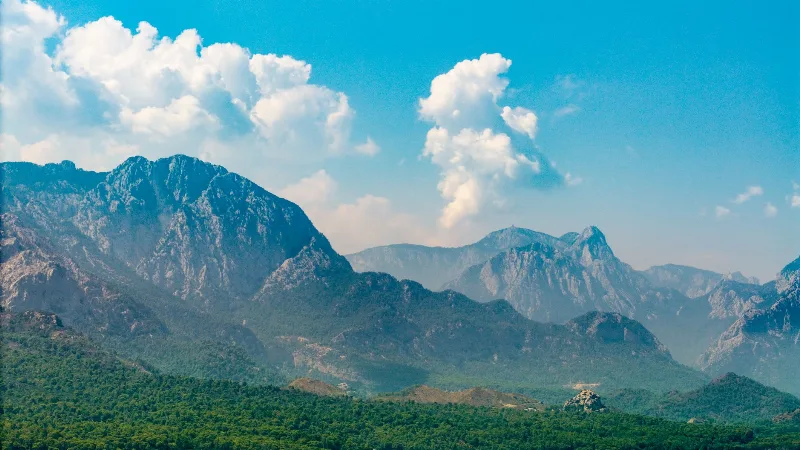
Antalya
Antalya offers a unique blend of vibrant history and stunning natural beauty, making it a must-visit destination in Türkiye.
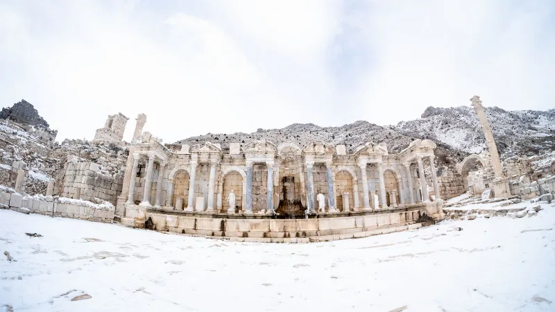
Sagalassos
Sagalassos was a major Pisidian city in the Taurus Mountains of Burdur Province, Türkiye. Its Roman theatre, bath complex and monumental fountain house make it one of the more fully understood ancient cities in the region.
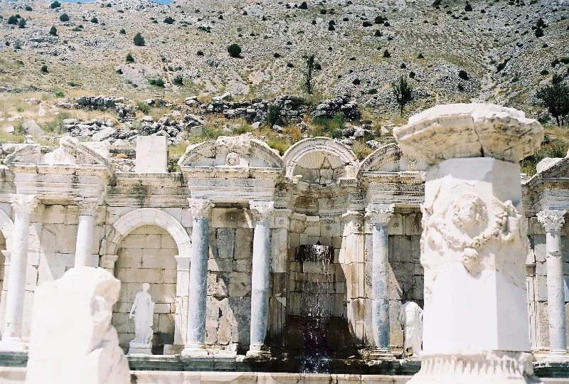
The Ancient City of Sagalassos in the Taurus Mountains
High in the Taurus Mountains above Ağlasun, the ancient city of Sagalassos preserves the streets, fountains and public buildings of a prosperous Pisidian and Roman settlement.
Sagalassos Ancient City and Mountain Views in Burdur
Sagalassos is a hilltop ancient city in Burdur where Roman streets, theatres and fountains look out across the Taurus Mountains. Its ruins reveal a wealthy Pisidian settlement that traded pottery around the eastern Mediterranean.