
3-Day Cappadocia Route
A practical three-day Cappadocia route that starts in Göreme, heads south to the underground cities and the Ihlara Valley, then continues north through Zelve and Avanos before finishing in Ürgüp.
This three-day route begins in Göreme and finishes in Ürgüp, covering the central valleys, the underground settlements to the south and the northern craft town of Avanos. The journey is compact in distance but rich in variety: rock-cut churches, fairy chimneys carved from soft tuff, deep multi-level cities dug beneath the ground, a green river gorge and a working pottery town on the Kızılırmak. It is a linear route, not a loop, and it works best with a car, though short valley walks are essential to appreciate the landscape. Most travellers treat Göreme as the base for the first two nights and Ürgüp or Avanos as the final stop.
Day 1: Göreme and the Central Valleys
The route opens in Göreme, the natural hub of the region. Start the day early if you want to watch the hot air balloons rise over the valleys at dawn; the launches depend on wind and weather, so the flight itself is best arranged flexibly around the first clear morning. After sunrise, head to the Göreme Open Air Museum just outside the town, where rock-cut monasteries and churches cluster together and several interiors still carry painted frescoes.
From there, the day stays within walking distance of Göreme. The Love Valley and Rose Valley trails lead away from the village through sculpted tuff cones and pink-toned ridges, and the paths connect naturally back toward the centre. In the afternoon, continue to Uçhisar and its rock castle, the highest point in the immediate area, which gives a clear overview of how the valleys, towns and open plateau fit together. Ending the day in Uçhisar or back in Göreme makes sense because both sit on the same western edge of the central district.
Day 2: South to the Underground Cities and the Ihlara Valley
The second day turns south, following the corridor from Nevşehir toward Derinkuyu and Kaymaklı. These two underground cities are the anchor stops of the morning: multi-level settlements cut into the rock, with tunnels, storage rooms and ventilation shafts that show how communities lived below the surface. Kaymaklı is the first major stop on the road, and Derinkuyu lies a little further south, so the order follows the direction of travel.
From Derinkuyu, the route continues west toward the Ihlara Valley near Güzelyurt. This is the longest driving stretch of the three days, and the landscape changes noticeably as the open plateau gives way to a green gorge cut by the Melendiz River. A walk along part of the valley floor is the best way to see the rock-cut churches set into the cliffs, and the Selime Monastery at the northern end of the gorge adds a dramatic final stop before the return drive. Because of the distances involved, this day is best kept focused on the underground cities and the Ihlara area rather than adding further detours.
Day 3: North to Avanos and East to Ürgüp
The final day moves north and then east, closing the route in Ürgüp. Leave Göreme and stop first at Çavuşin, a village built against a rock face with old cave dwellings above the road. Continue to Zelve, an abandoned rock settlement spread across several valleys, and then to Paşabağ, where distinctive fairy chimneys with multiple caps stand in a small, easily walked area. The nearby Devrent Valley, known for its animal-shaped rock formations, fits naturally on the same stretch of road.
From Devrent, the route reaches Avanos on the Kızılırmak, the longest river in Türkiye. Avanos is known for its pottery tradition, shaped by the red clay of the river, and the town makes a logical midday stop before the final leg. Head southeast to Ürgüp, where the route ends. Ürgüp is a larger town with its own historic centre, and it works well as a finishing point before onward travel from the region.
When to Go and How to Move Around
Spring and autumn are the most comfortable seasons for this route. Summer days can be hot and exposed on the plateau, while winter can bring snow and occasional access limitations in the higher and more remote parts of the valleys. A car gives the most freedom, especially on the second day, when the underground cities and the Ihlara Valley are spread out. Local transport and organised day trips cover many of the same stops, but they limit how long you can spend at each place. Valley walking is a genuine part of the experience, so bring shoes suitable for uneven ground.
The first day is compact and largely walkable, the second involves the most driving, and the third is a steady progression of short stops between Göreme and Ürgüp. Travellers who prefer a slower pace can spread the same places over four days without changing the order. The route is best understood as a sequence of geographically linked areas rather than a single destination, and it pairs naturally with the individual district, historic place and nature pages that cover each stop in more depth.
Remarkable Places
See all places →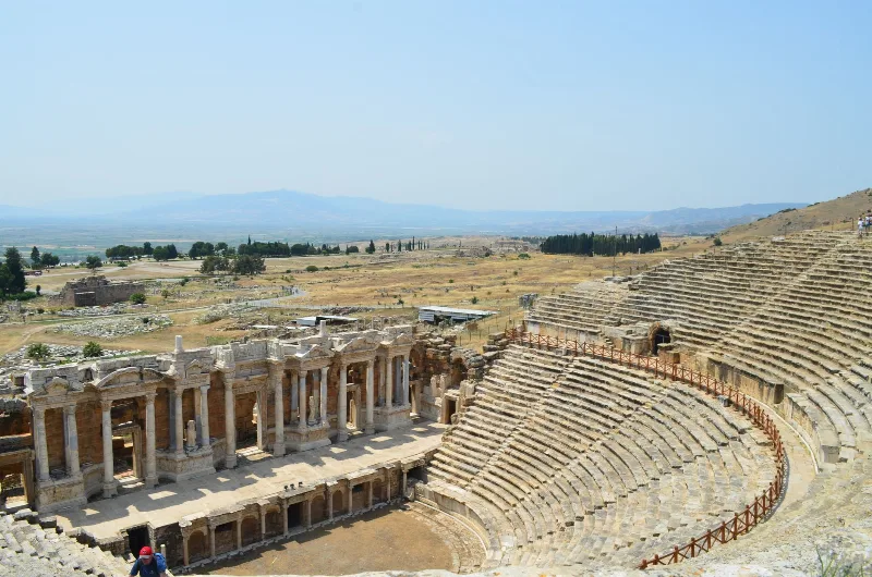
Letoon
Letoon is a Lycian sanctuary near Xanthos in Muğla Province, dedicated to Leto, Artemis and Apollo. Its three temples, theatre and trilingual inscription make it one of southwestern Turkey’s most significant archaeological sites.
Explore →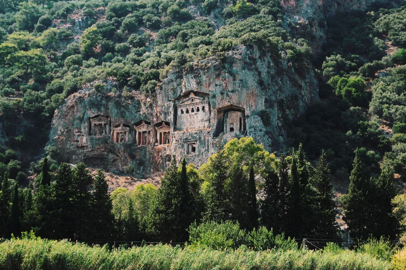
Kaunos
Kaunos is an ancient Carian city on the Dalyan River in Muğla Province, known for its temple-style rock-cut tombs and the extensive ruins of a harbour that silted up centuries ago.
Explore →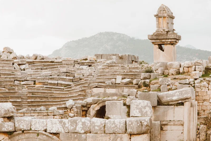
Xanthos
Xanthos is an ancient Lycian city in Antalya Province and a UNESCO World Heritage Site, known for its Lycian tombs, Roman theatre and role as a leading city of Lycia.
Explore →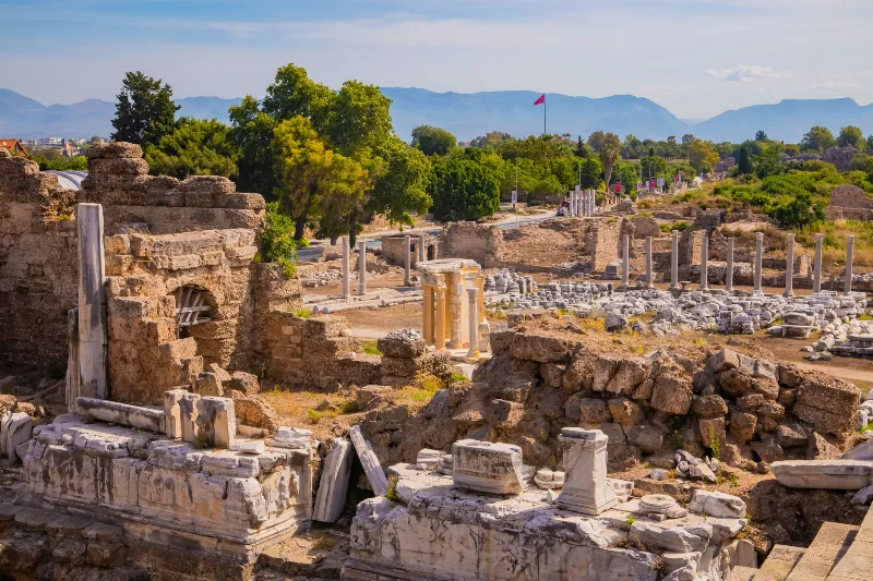
Phaselis
Phaselis is a Rhodian-founded port city on the eastern Lycian coast, where paved streets, agoras, baths and a small theatre stand among pines between three sheltered bays.
Explore →Related content
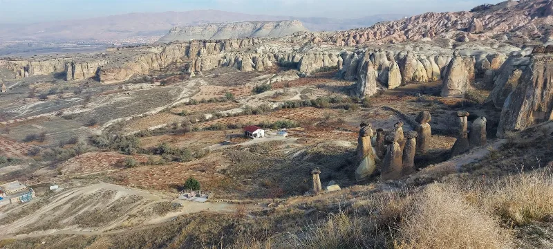
Cappadocia
Cappadocia is a region of Central Anatolia in Turkey defined by eroded volcanic tuff, rock-cut Byzantine churches and multi-level underground cities. This guide explains how the landscape formed, what the main valleys and sites actually contain, and what to know before visiting.
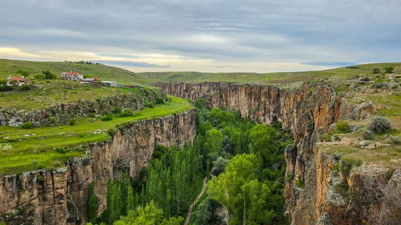
Ihlara Valley
Ihlara Valley is a 14-kilometre canyon in Aksaray Province cut by the Melendiz River, lined with Byzantine rock-cut churches and frescoes. This guide covers its geology, the churches inside it, the walking route and the best time to visit.
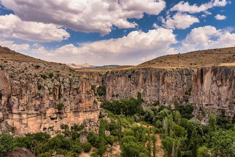
Ihlara Valley
Ihlara Valley is a green canyon in Aksaray Province, cut by the Melendiz River through soft volcanic rock. Its steep walls, riverside vegetation and rock-cut churches make it one of the most distinctive landforms of the wider Cappadocia region.
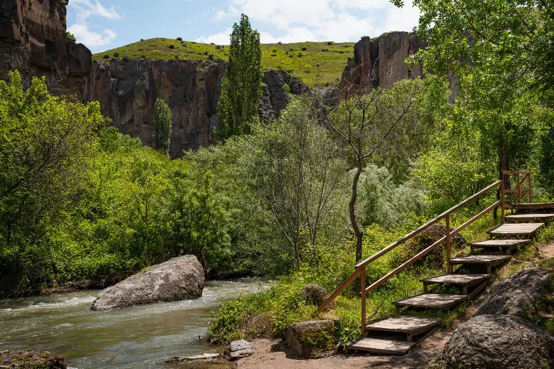
The Ihlara Valley and Its Rock-Cut Churches in Cappadocia
The Ihlara Valley in Cappadocia, Türkiye, is a green canyon carved by the Melendiz River, known for its rock-cut churches, Byzantine frescoes and peaceful walking paths.
2-Day Cappadocia Underground Cities Route
A two-day route from Nevşehir through the underground cities of Kaymaklı and Derinkuyu, finishing with a walk through the Ihlara Valley and the rock-cut complex at Selime.
4-Day Cappadocia and Konya Route
A four-day linear journey from the rock valleys of Cappadocia to the Seljuk city of Konya, linking cave churches, underground cities and the Ihlara Valley with the Mevlana Museum on the central Anatolian plateau.