
Şenyuva
Şenyuva is a small village in the Çamlıhemşin district of Rize, set in the forested Fırtına Valley and known for a historic stone arch bridge and its dense stock of traditional Black Sea houses.
Şenyuva is a village in the Çamlıhemşin district of Rize Province, in the hinterland of Türkiye's eastern Black Sea coast. It lies in the Fırtına Valley, the deep, heavily wooded corridor that the Fırtına River and its tributaries have cut into the northern slopes of the Kaçkar range, and it sits along the road that climbs upstream from the town of Çamlıhemşin toward Zilkale and the higher settlements of the valley. Two things give the village its identity: an old stone arch bridge, and a compact group of traditional houses built in the timber-and-stone manner characteristic of this part of the Black Sea region.
Where Şenyuva sits in the Fırtına Valley
The Fırtına Valley runs roughly north to south, carrying meltwater and rain from the high Kaçkar Mountains down toward the coast near Ardeşen. Şenyuva occupies a position on the valley floor and lower slope, where the ground is steep enough that houses are terraced into the hillside rather than arranged around a flat square. The village is administratively part of Çamlıhemşin, and the district town is the nearest service centre and the practical starting point for anyone approaching from the coast.
The setting is defined by water and forest. Rainfall in this corner of Rize is among the heaviest in Türkiye, and the result is a landscape of dense broadleaf and conifer woodland, moss-covered stone, fast-running streams and a permanent haze of moisture. The valley sides rise sharply on both sides of the village, limiting the amount of level ground and giving Şenyuva the enclosed, vertical feeling that distinguishes Black Sea valley settlements from the open villages of Anatolia's interior.
The stone arch bridge
The village's best-known structure is its stone arch bridge, a masonry crossing of the kind that survives at several points along the Fırtına and its feeder streams. These bridges were built to carry local traffic over water that rises fast during rain and to hold their shape without the elaborate engineering available elsewhere. The Şenyuva bridge is a single, clean arch in cut stone, its parapets low, its deck narrow by modern standards and its fabric weathered by constant damp.
It is worth understanding the bridge as part of a wider valley system rather than an isolated monument. Several comparable arched bridges stand within the same river corridor, and together they show how the valley was knitted together on foot and by pack animal before the road was driven through. Approaching the bridge on foot, from the level of the water or from the road above, gives a clearer sense of its proportions than passing it in a vehicle.
Timber, stone and the shape of the houses
Şenyuva's architecture is the other reason the village is worth a detour. The traditional houses here follow a pattern found across the wet eastern Black Sea: a stone base, often built into the slope so that the lower storey is partly a cellar or stable, topped by timber-framed upper floors that project out over the masonry. Wide overhanging eaves protect the walls from rain, deep balconies provide dry outdoor space, and stone chimneys rise through the roof.
Because the valley is so wet and the ground so uneven, the houses are closely packed and often stacked at different levels, so that the roof of one building sits near the floor of the next. Roofs are pitched and heavy, generally of the materials the region uses for shedding water quickly. Around the wider district, granaries raised on wooden posts — known locally as serender — are another element of the same building tradition, and the village fabric reflects that same logic of keeping stored goods and living space clear of the damp ground.
Walking through the village
Şenyuva is small enough to walk in an hour and steep enough that the hour will feel longer. The lanes between houses are narrow, sometimes paved, sometimes rough, and they climb. Kitchen gardens, fruit trees, small plots of maize and beans, and the usual Black Sea tangle of hydrangea and rhododendron sit between the buildings. Chickens and the occasional cow are part of the scene; this is a working village rather than a preserved open-air museum, and visitors should treat the lanes and yards as people's front doors.
The most satisfying way to see the village is to follow the road through it slowly, then take the footpaths that drop toward the water where the bridge crosses. From below, the arch, the wooded slope behind it and the stone houses above form the image most people associate with Şenyuva. From the upper lanes, the view opens over the valley to the opposite slope, which is forest almost to the ridgeline.
Hemşin culture and valley life
The population of the Fırtına Valley is largely Hemşin, a group with its own dialect, music and dance traditions, and the culture of the valley is distinct from that of the coastal towns. Life here has historically combined subsistence farming in the villages with seasonal movement to high summer pastures, where livestock graze once the snow retreats. That transhumance pattern still shapes the calendar of the valley, and the yayla (high pasture) settlements above Çamlıhemşin remain in use in summer.
The result is a village that is quiet for much of the year and busier in the warm months, when families return, animals move up to the pastures and the valley road carries more traffic. Travellers who want to understand Şenyuva should pay attention to the working details — the wood stores, the drying racks, the small agricultural structures — as much as to the bridge.
Getting to Şenyuva
The approach is by road, from the coast. Travellers arrive either at Trabzon Airport or at Rize–Artvin Airport further east, then continue by road to the town of Ardeşen and up the valley to Çamlıhemşin. From Çamlıhemşin the road follows the Fırtına upstream, and Şenyuva lies along this route toward Zilkale and the upper valley. The drive is short in distance but winding, and the surface can be wet at any time of year.
A private vehicle gives the most flexibility, since the village is a stop on a valley route rather than a destination with extensive transport infrastructure. Valley minibuses do run between Çamlıhemşin and the settlements upstream, but services are geared to local needs and are not frequent, so anyone relying on them should confirm timings locally rather than assume a schedule.
When to visit
Late spring through early autumn is the most accommodating period. In May and June the valley is green and the water is high; July and August are drier, warmer and the busiest weeks in the Çamlıhemşin area; September and October bring clearer air and the start of autumn colour on the slopes. Rain is possible in every month, and heavy downpours can make the streams rise quickly, so walking near the water should be reconsidered during storms.
Winter is quiet and can be beautiful, but snow and ice affect the higher parts of the valley road and reduce the number of places to stop. Anyone visiting outside the summer months should plan around shorter daylight and the possibility of road conditions changing.
Practical points before setting out
The terrain is steep and the walking is uneven. Sturdy footwear matters more than any other item, and the weather can change within an hour, so a waterproof layer is worth carrying even on a clear morning. There is very little flat ground in Şenyuva, and the lanes are not designed for easy access; visitors with limited mobility should expect to view the bridge and the village mainly from the road.
Because the village is residential, quiet and small, it rewards a short, unhurried visit rather than a long one. It also works best as part of a valley itinerary, combined with the places immediately around it rather than treated as a standalone stop.
What lies around Şenyuva
The valley road continues south from the village to Zilkale, a medieval castle set on a rocky spur above the river, and beyond it toward Çat and the Palovit area, where a waterfall drops beside the road. Downstream, Çamlıhemşin serves as the district's main settlement, and further up the side valleys lies Ayder, the best-known of the high pasture resorts in the Kaçkar Mountains. The Kaçkar Mountains National Park covers the high ground above the valley, and the whole Fırtına corridor is a landscape of historic stone bridges, forest and fast water that makes sense when seen as a single route rather than a series of separate stops.
From the land
Find All →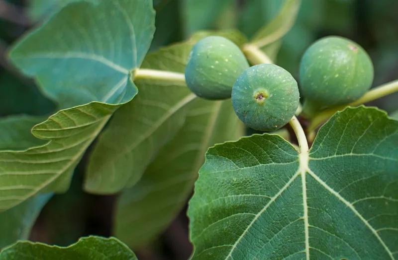
Aydın Figs
Aydın figs are the dried figs of Türkiye's Aegean interior, grown in the valleys around the Büyük Menderes River and prized for their sweetness, soft texture and pale amber colour.
Explore →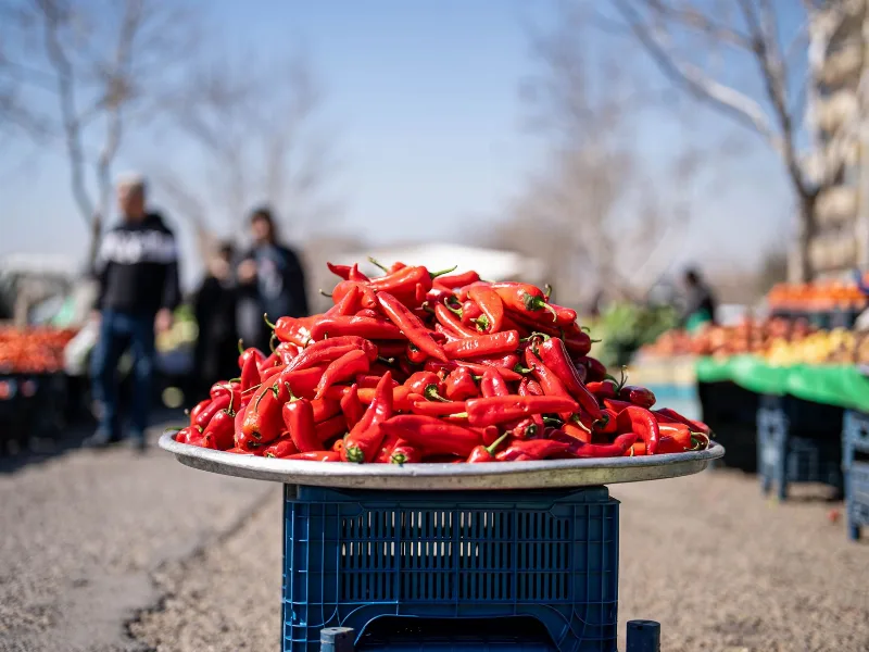
Kahramanmaraş Peppers
Kahramanmaraş peppers are the red peppers grown on the inland plains of southern Türkiye, where hot, dry summers and fertile soils give the crop its deep colour, moderate heat and smoky aroma.
Explore →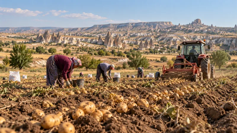
Nevşehir Potatoes
Nevşehir potatoes are grown on the volcanic plateau of Cappadocia in central Türkiye, where tuff-derived soils, cold winters and warm dry summers shape a crop that is harvested in late summer and kept in the region's cool rock-cut storage chambers.
Explore →Related content
Rize
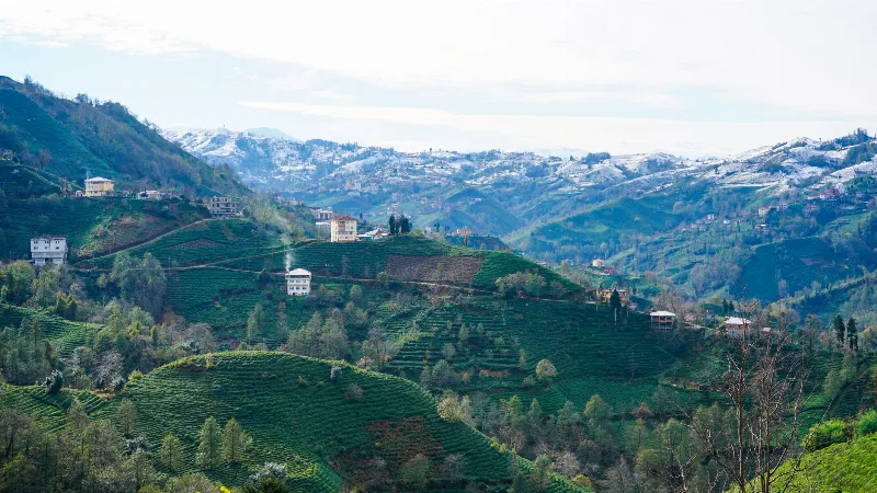
Rize is the capital of Rize Province on Türkiye's northeastern Black Sea coast, a city shaped by tea plantations, steep forested slopes and the high plateaus of the Kaçkar Mountains further inland.
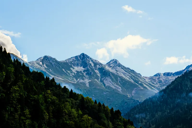
Kaçkar Mountains
The Kaçkar Mountains form the highest section of Turkey's Black Sea ranges, a glacially sculpted landscape of sharp summits, cirque lakes and high summer pastures.
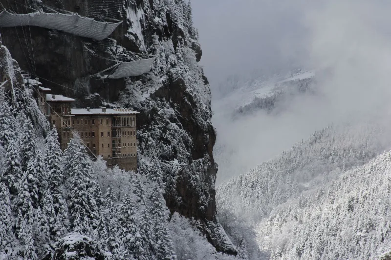
Trabzon
Trabzon is a rain-washed port city on Türkiye's eastern Black Sea coast, framed by the cliffside Sumela Monastery and slopes of tea. Byzantine and Ottoman layers sit close to highland valleys just inland.
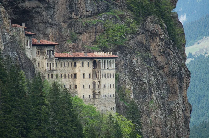
7-Day Eastern Black Sea Highlands Route: Trabzon to Artvin
A seven-day driving route through the Eastern Black Sea highlands, from Trabzon and Sumela to Uzungöl, Ayder, the Kaçkar Mountains and the forests of Şavşat, ending at Artvin.
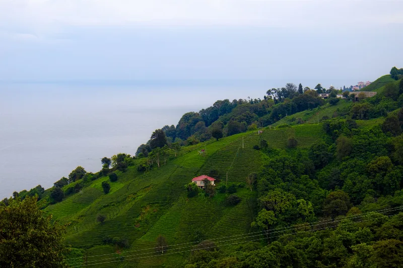
2-Day Rize and Ayder Route
A two-day linear route from Rize city through the coastal tea gardens and the Fırtına Valley to the Ayder Plateau in the Kaçkar Mountains.
Pokut Plateau Fog and Wooden Houses in Rize
Pokut Plateau is a high summer settlement in the Kaçkar Mountains of Rize, known for drifting fog, traditional timber houses and long-established highland grazing traditions.