
Çatalhöyük
Çatalhöyük is a Neolithic and Chalcolithic settlement mound in the Konya Plain whose tightly packed mudbrick houses, painted walls and floor burials changed how archaeologists understand early farming communities. This article explains what survives at the site, how it was excavated and what a visitor can realistically expect to see.
Çatalhöyük is a Neolithic and Chalcolithic settlement mound in the Konya Plain of south-central Anatolia, lying roughly 37 kilometres southeast of the city of Konya near the town of Çumra. Its inhabitants built, demolished and rebuilt mudbrick houses in an unbroken sequence from about 7500 BC into the sixth millennium BC, creating one of the largest and most densely occupied prehistoric communities known anywhere in the world. The site is significant because it preserves an unusually complete picture of how early farming societies organised their houses, their craft production, their symbolism and their treatment of the dead, and it has been a UNESCO World Heritage Site since 2012.
Two Mounds on an Alluvial Plain
Çatalhöyük consists of two distinct mounds formed almost entirely of accumulated building debris, ash and collapsed mudbrick. The larger East Mound holds the Neolithic occupation and rises about twenty metres above the surrounding flat farmland, covering an area of roughly thirteen hectares. The smaller West Mound, separated from it by a few hundred metres and by an old watercourse, contains the later Chalcolithic settlement. The whole complex sits in a broad, level plain watered by the Çarşamba River, whose sediments gradually buried the abandoned settlement after it was left behind. That burying process is the reason the site survived at all: the deposits sealed the architecture and the artefacts within it.
The plain today is intensively cultivated, and the mounds appear as low, pale rises among fields. Wheat and sugar beet grow around them, and the nearest settlements are small agricultural towns rather than a modern urban fringe. This setting matters for understanding the site, because the Neolithic community depended on exactly this combination of fertile alluvial soil, marshland resources and access to distant raw materials.
A Town Without Streets
The most distinctive feature of Çatalhöyük is its layout. There were no streets, alleys or open squares in the usual sense. Houses were constructed directly against one another, sharing party walls, so that the settlement grew as a dense honeycomb of interconnected rooms. Because the exterior walls were continuous, entry was gained from above: people climbed a wooden ladder through an opening in the roof, which also served as the smoke hole for the hearth below. Movement through the settlement therefore happened largely across the rooftops, with open courtyards and refuse areas scattered between clusters of buildings.
The houses themselves were rectangular, built of mudbrick on timber frames, with plastered and repeatedly whitewashed interior surfaces. Inside, a typical room contained raised platforms along the walls used for sleeping, working and sitting, a hearth, and a domed oven. Smaller storage rooms were attached to the main living space. The interiors were renovated constantly, with new layers of plaster applied over old ones, and this habit of continual rebuilding and replastering is what produced the deep stratigraphy that archaeologists now read as a record of domestic life repeated over many centuries.
Farming, Herding and Long-Distance Exchange
The economy of Çatalhöyük combined cultivation, animal husbandry and hunting. Excavators have recovered emmer and einkorn wheat, barley, peas, lentils and bitter vetch, while sheep and goats were kept as domestic animals and cattle are also represented. Wild resources remained important: aurochs, wild equids and deer were hunted, and the surrounding marshes supplied water birds, fish and plant foods. The diet was therefore mixed rather than purely agricultural, which fits the environmental reality of a wetland plain.
Raw materials reveal how far the community was connected. Obsidian, valued for sharp-edged tools, came from sources in Cappadocia, several hundred kilometres to the east, while marine shells reached the site from the Mediterranean coast. Flint, copper and a range of coloured stones were also worked there. This means Çatalhöyük was not an isolated village but a node in an exchange network that linked central Anatolia to distant regions long before the invention of writing or the wheel.
Painted Walls, Modelled Features and Symbolic Space
Murals and Wall Reliefs
Many rooms at Çatalhöyük carried painted decoration. Murals show geometric patterns, rows of handprints, hunting scenes with animals and human figures, and abstract compositions in red ochre and other pigments. Some walls carried plaster reliefs: animals modelled in low relief, and rows of cattle horns, known as bucrania, set into benches and walls. Human skulls were occasionally plastered and modelled as well. These features were concentrated in particular rooms, which suggests that some domestic spaces also served as places of special significance rather than being purely functional.
Figurines and the Problem of Interpretation
The site has produced large numbers of small clay figurines, mostly of animals and of human figures. The best known is a seated, heavy-set female figure found in a grain bin, often reproduced in popular retellings as a "mother goddess" and presented as evidence of a matriarchal society. That reading was proposed by the site's first excavator, James Mellaart, and has been heavily qualified by later research. Figurines at Çatalhöyük occur in ordinary domestic and refuse contexts as well as in special ones, and there is no secure basis for treating them as objects of a single organised cult. The interpretation of the figurines remains genuinely disputed, and it is worth separating the popular image of Çatalhöyük from the archaeological evidence.
Burials Beneath the Living Room Floor
The dead at Çatalhöyük were generally buried inside the settlement rather than in a separate cemetery. Bodies, usually contracted, were placed in pits cut beneath the raised platforms of houses, sometimes wrapped or laid on mats and occasionally accompanied by ochre, beads or grave goods. Individuals of both sexes and all ages were treated this way, and burials were repeatedly inserted into the same platforms over generations. The practice means that ancestral memory was physically embedded in the fabric of the house, and it has given archaeologists an unusually large and well-documented skeletal sample for studying health, diet and kinship in a Neolithic community.
The West Mound and the Later Chalcolithic Phase
Occupation shifted across the plain over time. After the East Mound was abandoned around 6000 BC, settlement moved to the West Mound, where Chalcolithic communities lived for several centuries. The architecture and material culture of the West Mound differ in important respects from the Neolithic sequence: the dense roof-entry layout is less pronounced, pottery traditions change, and the material connections of the community point in somewhat different directions. Together, the two mounds allow archaeologists to trace social and economic change across a long span of prehistoric Anatolian history rather than a single frozen moment.
Excavation History
James Mellaart conducted the first major excavations between 1961 and 1965, revealing the dense architecture and the painted and modelled interiors that made the site internationally known. Work resumed in 1993 under Ian Hodder, who directed a long-term multidisciplinary research project with an explicit emphasis on method and on the interrogation of earlier interpretations. The modern project introduced systematic flotation to recover plant remains, detailed microstratigraphic analysis of floors and deposits, and extensive scientific study of human remains and artefacts. The result is one of the most intensively studied prehistoric settlements in the world, and much of what is now said about daily life at Çatalhöyük derives from that later research rather than from the first campaigns.
What Survives and What a Visitor Can See
There are no standing walls at Çatalhöyük. What survives is archaeological architecture, exposed in open excavation areas and protected by shelters: plastered floor sequences, platforms, hearths, ovens, wall paintings in fragmentary condition, and the overall footprint of the densely packed houses. Interpretation is done through the exposed sections, the traces of building phases and reconstructed elements rather than through monumental remains. This makes the site rewarding for visitors prepared to look closely and less rewarding for those expecting standing ruins.
The visitor facilities include an interpretive exhibition and a full-scale experimental reconstruction of a Neolithic house, which shows how the mudbrick walls, roof openings and interior fittings were built. Finds from the earliest excavations are principally held in the Museum of Anatolian Civilizations in Ankara, while regional archaeological collections in Konya hold material from the wider area, so the site visit is best understood as complementary to museum study.
World Heritage Status
Çatalhöyük was inscribed on the UNESCO World Heritage List in 2012, in recognition of its outstanding testimony to the first steps of settled, agricultural life and to the architecture, art and burial practices of a densely organised Neolithic community. The listing reflects the site's international research value as much as its physical remains.
Practical Visiting Context
The site is reached from Konya by road through the Çumra direction, with a signposted access road close to the settlement of Küçükköy. Much of the route crosses flat agricultural land. On site, the ground is uneven, the excavated areas are partly under protective roofing and there is very little shade in the surrounding plain, so sturdy footwear and sun protection are useful. Summer on the Konya Plain is hot and dry while spring and autumn are considerably more comfortable; winter visits can be cold and the exposed paths muddy after rain.
Related Places in the Same Region
The Konya region allows the site to be set in a longer historical sequence. The city itself holds Seljuk monuments such as the Karatay and İnce Minareli medreses, and its archaeological museum presents regional material from prehistory onward. Southeast of the plain, the rock-cut Byzantine settlement of Kilistra near Hatunsaray represents a very different phase of Anatolian occupation, while the Hittite monument of Eflatun Pınar near Beyşehir belongs to the Bronze Age world that emerged long after Çatalhöyük was abandoned. Placing these places alongside the Neolithic mound makes clear how deeply stratified the history of this part of Anatolia is.
Routes
All routes →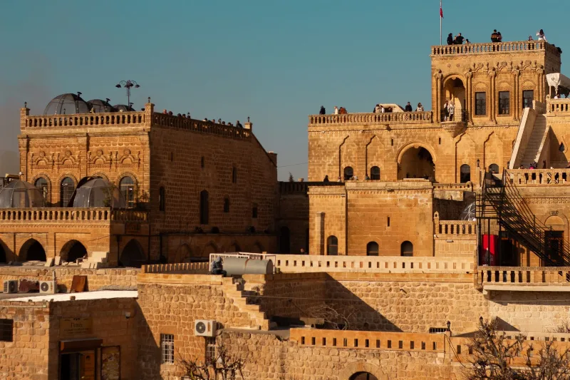
3-Day Mardin and Midyat Route
Explore the stone architecture of Mardin's old city and the historic monasteries of Midyat on this 3-day route through southeast Türkiye. The itinerary starts in Mardin, travels east to Midyat, and visits Deyrulzafaran and Mor Gabriel monasteries.
Explore →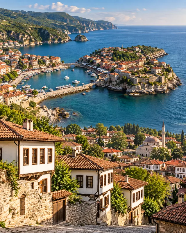
2-Day Safranbolu and Amasra Route
A two-day route combining Safranbolu’s Ottoman streets and traditional houses with the Black Sea scenery and historic harbour town of Amasra.
Explore →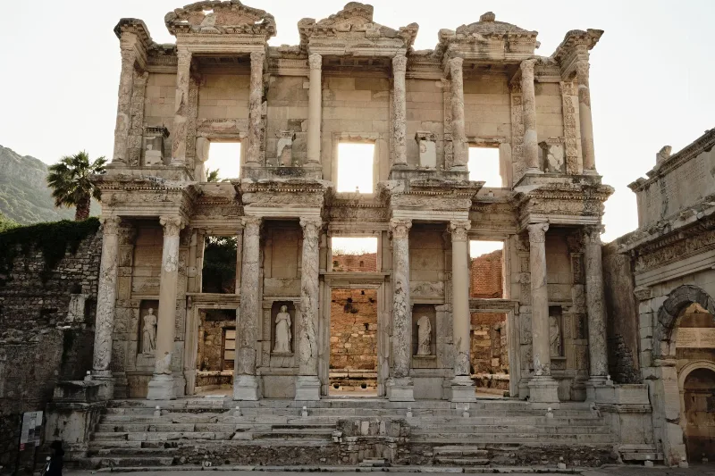
4-Day Ephesus and Pamukkale Route
A four-day west-to-east Aegean route that links the ancient city of Ephesus and the House of Virgin Mary in Selçuk with the white travertine terraces and Hierapolis ruins at Pamukkale, near Denizli.
Explore →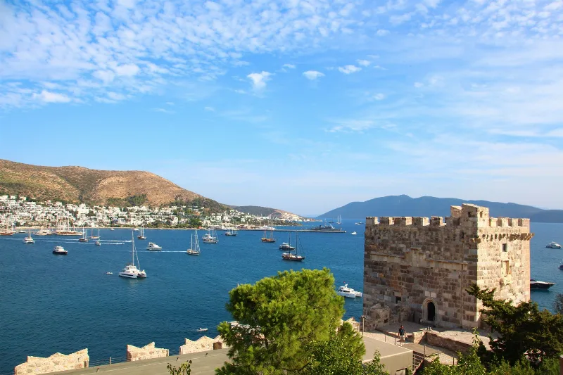
5-Day Bodrum Peninsula Route
A five-day circular drive around the Bodrum Peninsula that links the historic core of Bodrum with the southern shore village of Gümüşlük, the western town of Turgutreis and the northern villages of Yalıkavak, Göltürkbükü and Torba.
Explore →Related content
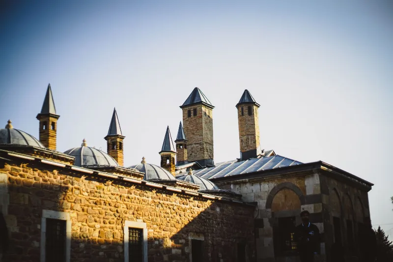
Konya
Konya is a city known for its spiritual essence and cultural heritage, home to the Mevlana Museum and the whirling dervishes.
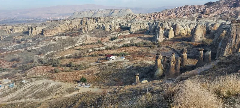
Cappadocia
Cappadocia is a region of Central Anatolia in Turkey defined by eroded volcanic tuff, rock-cut Byzantine churches and multi-level underground cities. This guide explains how the landscape formed, what the main valleys and sites actually contain, and what to know before visiting.
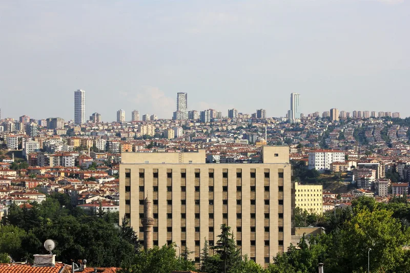
Ankara
Ankara is the capital of Türkiye and the country's second-largest city, set on the high plateau of Central Anatolia and defined by its republican institutions, its long pre-Ottoman history and the mausoleum of Mustafa Kemal Atatürk.
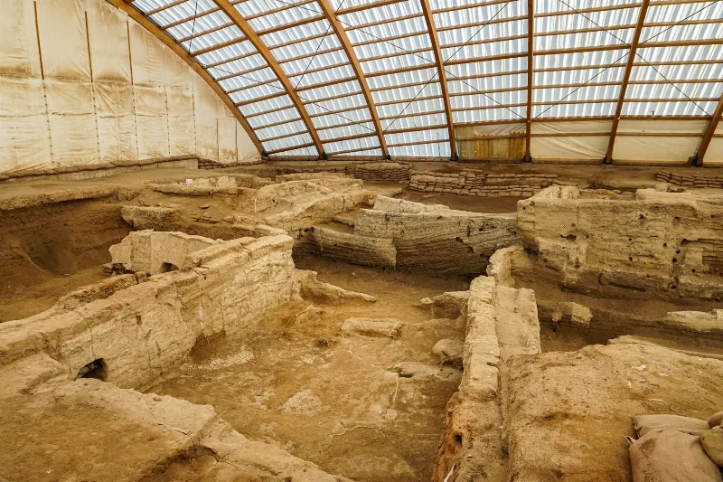
Çatalhöyük: A Neolithic Town on the Konya Plain
Çatalhöyük is a Neolithic and Chalcolithic mound settlement in Konya Province, Türkiye, occupied from around 7500 BCE. Its roof-access houses, painted walls and burials make it one of the most important early farming settlements ever excavated.
4-Day Cappadocia and Konya Route
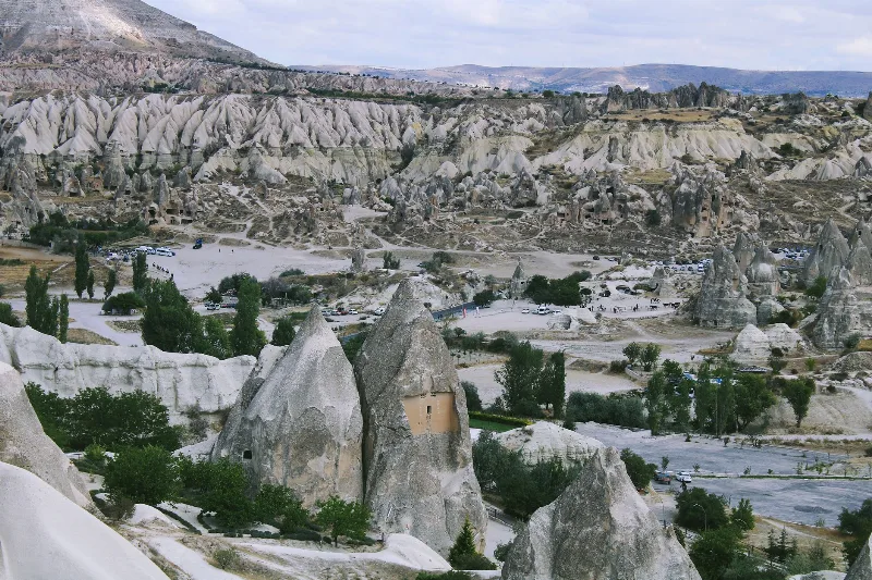
A four-day linear journey from the rock valleys of Cappadocia to the Seljuk city of Konya, linking cave churches, underground cities and the Ihlara Valley with the Mevlana Museum on the central Anatolian plateau.

Central Anatolia Region
Central Anatolia is the historic heartland of Türkiye, known for its wide plains, extraordinary rock formations, ancient civilizations and traditional towns. From the fairy chimneys of Cappadocia to the cultural landmarks of Ankara and Konya, the region reveals the rich history and natural beauty of inner Anatolia.