
Hattusa
Hattusa was the capital of the Hittite Empire, located near Boğazkale in Çorum Province. Its surviving walls, gates, temples and cuneiform archives make it one of the most important Bronze Age archaeological sites in Anatolia.
Hattusa was the capital city of the Hittite Empire, one of the major powers of the ancient Near East during the Late Bronze Age. It lies near the modern village of Boğazkale in Çorum Province, in the north-central part of Anatolia, within a landscape of rocky hills and dry valleys framed by the Budaközü stream. The site was occupied as a royal seat from roughly the seventeenth century BC and remained the political and religious centre of the Hittite state until its collapse around 1200 BC. Because so much of its fortification system, temples and official archives have survived, Hattusa is the primary source of evidence for Hittite civilisation and was inscribed on the UNESCO World Heritage List in 1986.
Geographical Setting in the Çorum Region
The choice of location was strategic rather than accidental. Hattusa sits on a plateau at the northern edge of the Anatolian interior, controlling routes that linked central Anatolia with the Black Sea region to the north and with the wider Near Eastern world to the south and east. The terrain is rugged: the city was built across sloping ground and rocky outcrops, with the settlement spilling down towards a valley. This uneven topography shaped the way the city grew, since the Hittites adapted their walls and buildings to the natural contours instead of imposing a single regular plan. The surrounding region, today part of Çorum Province, remains predominantly rural and agricultural, which has helped preserve the archaeological zone from heavy modern development.
From Settlement to Imperial Capital
Occupation at the site reaches back before the Hittite period, and the name Hattusa itself derives from the Hattians, an earlier population of central Anatolia. Early Hittite rulers established their seat here, and by the sixteenth and fifteenth centuries BC the city had become the administrative heart of a kingdom that would expand into an empire. During the fourteenth and thirteenth centuries BC, under rulers such as Suppiluliuma I, Muwatalli II, Hattusili III and Tudhaliya IV, the Hittite state became one of the dominant powers of its age, competing and then negotiating with Egypt, Assyria and Babylonia. Hattusa reflected that status: it was both a fortified royal residence and a major cult centre, home to a large population of officials, priests, scribes, soldiers and craftsmen.
How the City Was Organised
Modern study divides Hattusa into a lower city and an upper city. The lower city, on the more level ground in the northern part of the site, contained the principal public buildings, including the largest temple complex and structures associated with the administration of the state. The upper city, which spreads across the higher southern slope, is remarkable for the density of its sacred architecture. Excavation has revealed a large number of temple buildings here, more than two dozen in the upper city alone, which indicates that the southern districts functioned largely as a religious quarter. Between these zones ran streets, open courtyards and storage areas, and the whole settlement was enclosed by a lengthy circuit wall.
Fortifications and Gateways
The defences of Hattusa are among its most recognisable features. A massive wall, reinforced with towers at intervals, followed the edge of the plateau and the natural cliffs, using the terrain as part of the defensive system. Several monumental gateways pierced this circuit, each shaped as a passage flanked by large carved figures. The Lion Gate, the King's Gate and the Sphinx Gate are the best known. These entrances were not simply functional; the sculpted guardian figures and the sheer scale of the masonry conveyed the authority and protective power of the Hittite state. A particularly notable element is the great embankment and the associated passage known as Yerkapı, where a tunnel runs beneath the rampart, built with corbelled stonework rather than a true arch.
The Great Temple and Hittite Religion
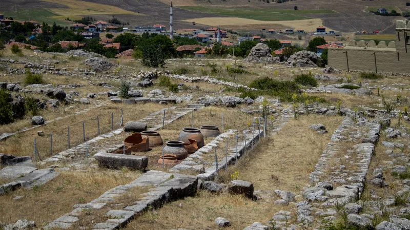
The largest religious structure at Hattusa, conventionally called the Great Temple, stood in the lower city. Its plan is distinctive, with a wide courtyard surrounded by storerooms and ancillary chambers, and two main cellae at its core, understood as dedicated to the Storm God and the Sun Goddess, the principal deities of the Hittite pantheon. Finds from the surrounding rooms include storage vessels and other objects that reflect the temple's economic role as well as its ritual function. Beyond this complex, the many smaller temples of the upper city show that religious practice was distributed across the whole settlement, and together they offer an unusually detailed picture of Hittite cult organisation.
Yazılıkaya, the Rock Sanctuary
About two kilometres from the city lies Yazılıkaya, a natural rock outcrop that was used as an open-air sanctuary and forms part of the same World Heritage property. Two galleries cut into the rock are lined with reliefs of Hittite deities, arranged in ordered processions. The larger chamber shows a gathering of gods and goddesses, while the smaller gallery includes a relief often associated with Tudhaliya IV. The sanctuary was clearly an important ceremonial space connected with the capital, and the reliefs remain some of the most vivid surviving expressions of Hittite religious imagery and royal ideology.
The Archives and Their Significance
One of the most important discoveries at Hattusa has been its archive of cuneiform tablets. Thousands of clay documents were recovered, written mainly in Hittite and Akkadian, and they include treaties, laws, royal correspondence, ritual texts and historical records. Because these texts were found in a controlled archaeological context, they provide direct insight into Hittite government, diplomacy and belief. Among the most frequently cited is the treaty concluded between Hattusili III and the Egyptian pharaoh Ramesses II, which documents the diplomatic relationship between the two powers after their confrontation at Kadesh. The archive does not merely describe the Hittites from the outside; it records their own words.
Rediscovery and Excavation
After the collapse of the Hittite state, the site lost its position as a capital and the memory of its identity faded. Its identification with Hattusa was established through nineteenth- and twentieth-century research, and systematic excavation began in the early twentieth century. Since then, work has continued across the lower and upper city, the gates, the temples and the sanctuaries, gradually clarifying the sequence of construction and rebuilding. Many of the visible remains are conserved foundations and reconstructed sections, since the upper parts of mudbrick and timber buildings have not survived.
Decline and Later Use
Around 1200 BC the Hittite Empire came to an end amid the wider disruptions of the Late Bronze Age. Hattusa was abandoned as a royal capital, and although the site was later occupied by other peoples, including Phrygian and later populations, it never regained its former status. Over the following centuries the ruins were quarried and weathered, and the plain stone walls and gates gradually became the archaeological landscape seen today. This long break in occupation, however, is precisely what preserved the Bronze Age layers for modern investigation.
What Visitors Can See Today
A visit to Hattusa is essentially a walk through a large archaeological landscape. The circuit of the city walls can be traced for long distances, and the monumental gates with their carved guardians are among the most tangible remains. The foundations of the Great Temple and of many smaller temples are visible, laid out in clear plans that allow the structure of the ancient city to be read on the ground. The Yerkapı passage can be entered, and the sloping terrain gives a sense of how the settlement was fitted to the land. Because the site is extensive and exposed, walking shoes, water and a reasonable amount of time are useful, and the weather in the interior of Anatolia can be hot in summer and cold in winter.
Practical Context and Nearby Places
Hattusa is reached from the town of Boğazkale in Çorum Province, and the nearby Yazılıkaya sanctuary is a short distance away, so the two are normally seen together as a single archaeological destination. The broader region of Çorum contains other historical and archaeological sites, and the city of Çorum itself serves as a practical base for the area. Visitors interested in the Hittite period often combine Hattusa with other Anatolian sites of the same era, since the site provides the clearest surviving picture of Hittite urban planning, defence and religion. Understanding Hattusa means understanding not only a ruined city, but the political and religious world of one of the great powers of the Bronze Age.
Routes
All routes →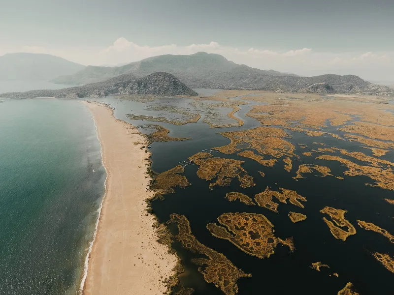
4-Day Marmaris and Dalyan Route
A four-day linear route that starts in Marmaris, crosses the Gulf of Gökova and Lake Köyceğiz, and ends around the river, rock tombs and turtle beach of Dalyan.
Explore →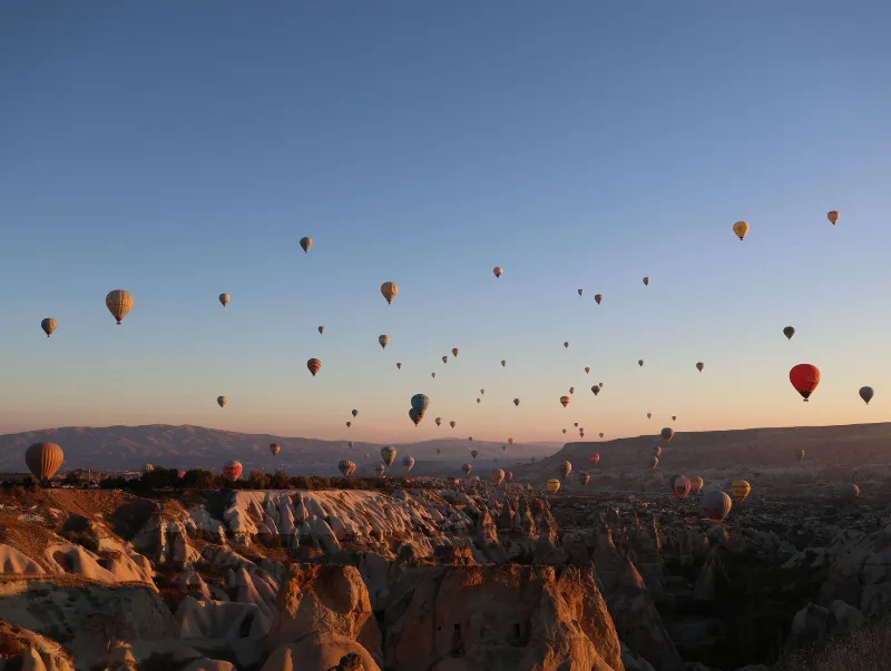
3-Day Cappadocia Route
A practical three-day Cappadocia route that starts in Göreme, heads south to the underground cities and the Ihlara Valley, then continues north through Zelve and Avanos before finishing in Ürgüp.
Explore →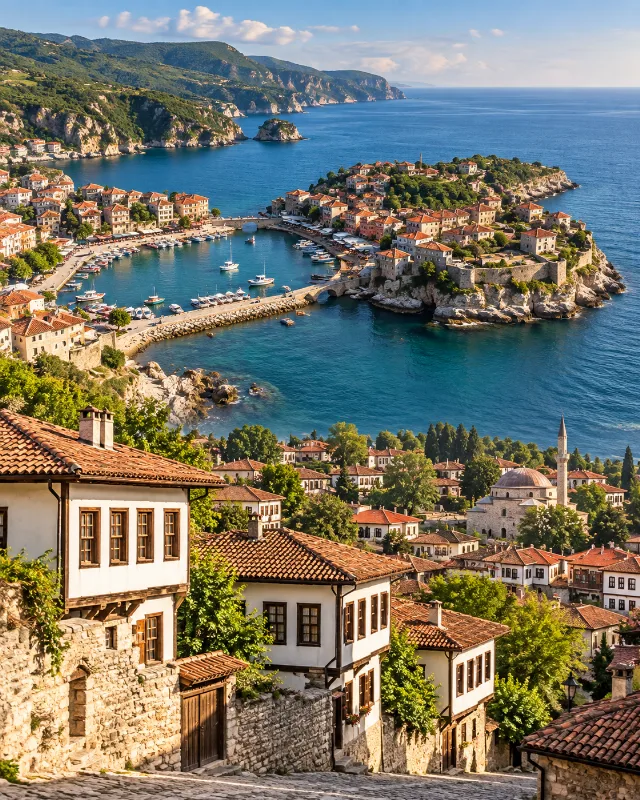
2-Day Safranbolu and Amasra Route
A two-day route combining Safranbolu’s Ottoman streets and traditional houses with the Black Sea scenery and historic harbour town of Amasra.
Explore →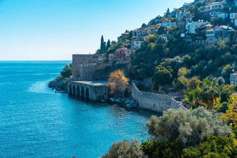
3-Day Alanya and Side Route
A three-day route along Türkiye's eastern Mediterranean coast, starting at Alanya Castle, continuing west to the ancient city of Side, and ending at the Manavgat Waterfalls.
Explore →Related content
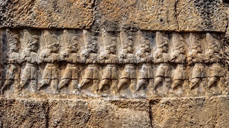
Yazılıkaya
Yazılıkaya is an open-air Hittite rock sanctuary cut into limestone near the ancient capital of Hattusa, decorated with reliefs of gods and kings and now part of a UNESCO World Heritage Site.
Hattusa: The Hittite Capital at Boğazkale, Çorum
Hattusa was the seat of the Hittite Empire in the Late Bronze Age and is now a UNESCO World Heritage Site in Çorum Province, Türkiye. Its walls, temples, gates and the nearby rock sanctuary of Yazılıkaya make it one of the most important archaeological landscapes in the ancient Near East.
The Ancient Hittite Capital of Hattusa
Hattusa, the Hittite capital in Çorum, preserves monumental gates, temples and royal buildings from one of the ancient Near East's great powers.
Alacahöyük
In Çorum Province, Alacahöyük preserves a long settlement sequence, elite Early Bronze Age burials and a monumental Hittite gate with carved reliefs.
Alacahöyük: A Hittite City and Early Bronze Age Royal Tombs in Çorum
Alacahöyük is an excavated mound in Çorum Province that holds both Early Bronze Age royal tombs and a monumental Hittite gate flanked by carved sphinxes. It is one of the key sites for reading the pre-Hittite and Hittite past of central Anatolia.
Historic Places
Ancient cities, monuments, castles and archaeological sites across Türkiye.