
Kaymaklı Underground City
Kaymaklı Underground City is a multi-level subterranean complex in Nevşehir Province, Cappadocia, used as a refuge by early Christian communities. It features tunnels, stone doors, storage rooms, and churches carved into volcanic tuff.
Kaymaklı Underground City is a vast multi-level subterranean complex carved into the soft volcanic tuff of the Cappadocia region in central Turkey. It lies beneath the town of Kaymaklı in Nevşehir Province, approximately 20 kilometers south of the city of Nevşehir. The site is one of the largest and most thoroughly engineered underground settlements in Cappadocia, historically used as a refuge by early Christian communities during periods of foreign invasion. Its extensive network of tunnels, living quarters, storage rooms, and communal spaces reveals a sophisticated understanding of defense, ventilation, and sustainable underground living.
Location and Geological Setting
Kaymaklı is situated in the heart of Cappadocia, a region renowned for its surreal rock formations and extensive rock-cut architecture. The town lies on a plain surrounded by low hills, with the underground city extending deep beneath its streets. The geological foundation of the area is the result of volcanic eruptions from Mount Erciyes, Mount Hasan, and other nearby volcanoes. Over millions of years, layers of volcanic ash compressed into a soft, porous rock known as tuff. This tuff is easily carved with simple tools, yet it hardens upon exposure to air, providing durable structures. The underground city exploits this natural material, creating a hidden world that is cool in summer and relatively warm in winter.
Historical Development and Use
The exact origins of Kaymaklı Underground City are uncertain. Some archaeological evidence suggests that the earliest chambers may have been dug by the Hittites or Phrygians, but the majority of the complex as it survives today is attributed to early Christian communities during the Byzantine period, roughly from the 4th to the 11th centuries. During this time, Cappadocia was a frontier region, vulnerable to raids by Arab armies from the south and east. The underground cities provided a secure haven where entire communities could hide for weeks, along with their livestock and food supplies. Kaymaklı continued to be used intermittently during the Seljuk and Ottoman periods, though its role diminished as the threat of invasion waned. It was rediscovered in the modern era and opened to visitors in 1964.
Architectural Layout and Defensive Features
The underground city is organized vertically, with multiple levels connected by narrow, sloping tunnels and vertical shafts. Although the full extent is not entirely known, eight levels have been identified, and four are currently open to the public. The levels are not simply stacked; they are arranged around ventilation shafts that ensure a continuous supply of fresh air to the deepest parts. These shafts also served as wells, providing water. The tunnels are deliberately low and narrow, forcing intruders to crawl and advance in single file, which made defense easier. Large circular stone doors, resembling millstones, could be rolled across passages to seal off sections. These doors were operated from the inside and had a central hole for spears or communication.
The functional areas within the city are diverse. On the upper levels, there are stables for animals, with tethering holes and feeding troughs carved into the rock. Deeper down, one finds storage rooms for grain, wine, and oil, along with kitchens, dining halls, and churches. The churches are simple chapels with a nave, apse, and sometimes a baptismal font. The presence of wineries, with treading basins and collection vats, indicates the importance of wine in the community's diet and rituals.
What Visitors Can See Today
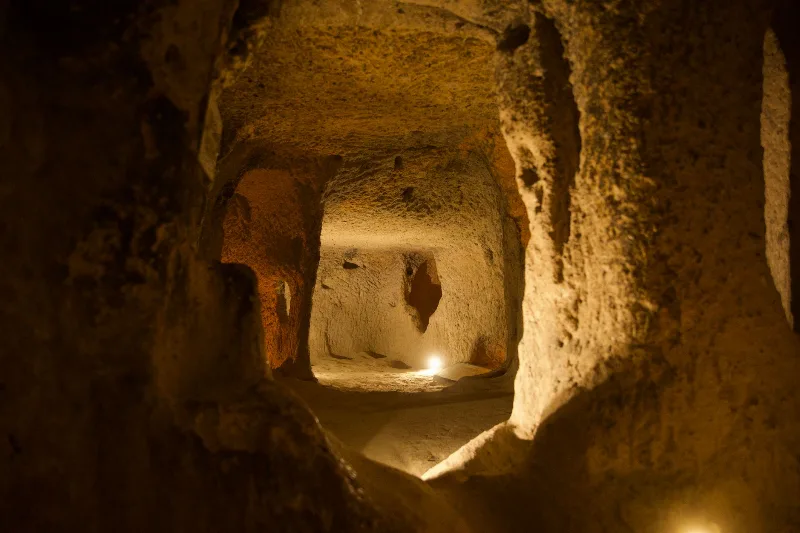
Visitors enter Kaymaklı through a small opening that leads into a maze of tunnels. The first level, closest to the surface, contains stables and living areas. As one descends, the passages become narrower and lower; in some places, visitors must crouch or bend to pass. The second level features a church with a modest nave and a barrel-vaulted ceiling. The third level includes storage rooms and a large communal area that may have served as a meeting hall. The fourth level, the deepest accessible, contains more storage areas and a ventilation shaft that reaches the surface. Throughout the city, one can see the round stone doors, though many are now fixed in place. Lighting is installed along the visitor route, but the atmosphere remains cool, dim, and enclosed.
Archaeological and Historical Significance
Kaymaklı Underground City is a remarkable example of subterranean architecture and communal engineering. It demonstrates how societies adapted to a hostile environment by using natural resources to create defensible, self-sufficient settlements. The city provides valuable insights into the daily life, diet, and religious practices of Byzantine Cappadocia. It also reflects the broader historical context of the region, where underground cities were part of a network of refuges that included Derinkuyu, Özkonak, and Mazı. Archaeological research continues to study the construction techniques, the chronology of the different levels, and the social organization of the communities that used them.
UNESCO World Heritage Status and Preservation
Kaymaklı Underground City is located within the Göreme National Park and the Rock Sites of Cappadocia, which was inscribed as a UNESCO World Heritage Site in 1985. This designation recognizes the outstanding universal value of the region's rock-cut churches, underground cities, and unusual geological formations. The site is protected under Turkish law, and ongoing conservation efforts aim to stabilize the tunnels and prevent erosion. Visitor access is managed to minimize damage to the delicate tuff rock.
Practical Information for Visiting
Kaymaklı is easily reached from Nevşehir by car or local minibus, a journey of about 20 kilometers. From the popular tourist base of Göreme, the distance is roughly 30 kilometers. The underground city is open year-round, but the best times to visit are spring and autumn when the weather above ground is mild. The interior temperature remains around 13°C (55°F) regardless of the season, so a light jacket is advisable. The tunnels are not suitable for people with claustrophobia, mobility impairments, or heart conditions, as the passages are narrow and sometimes steep. Visitors should wear sturdy shoes and be prepared to crouch in several sections.
Nearby Historic and Natural Attractions
The region surrounding Kaymaklı offers numerous other sites of historical and geological interest. The underground city of Derinkuyu, about 10 kilometers to the south, is larger and deeper, with its own unique features. The Göreme Open Air Museum, a short drive north, contains rock-cut churches with vivid frescoes. Uçhisar Castle, a natural rock fortress, provides panoramic views of Cappadocia. The Ihlara Valley, a canyon with churches and homes carved into its walls, lies to the west. These sites, together with Kaymaklı, form part of the rich cultural landscape of Cappadocia.
Routes
All routes →
2-Day Bursa and Uludağ Route
A two-day route through Bursa's Ottoman monuments and up to the Uludağ National Park by cable car, combining city walking with mountain hiking or skiing.
Explore →
2-Day Antalya Waterfalls and Ancient Cities Route
A circular two-day route based in Antalya that pairs the Düden and Kurşunlu waterfalls with the ancient cities of Perge, Aspendos and Termessos, following the eastern coastal plain on the first day and the Taurus foothills on the second.
Explore →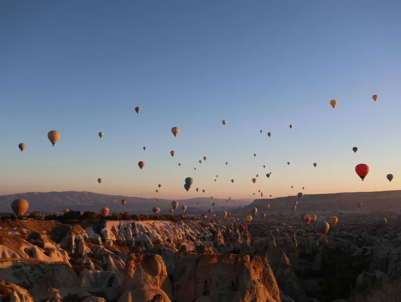
3-Day Cappadocia Route
A practical three-day Cappadocia route that starts in Göreme, heads south to the underground cities and the Ihlara Valley, then continues north through Zelve and Avanos before finishing in Ürgüp.
Explore →
6-Day Mediterranean Coast Route: Antalya to Marmaris
A six-day linear route along Türkiye's Mediterranean coast, linking Antalya, Olympos, Demre, Kekova, Kaş, Kalkan, Patara, Fethiye and Dalyan before finishing in Marmaris. It mixes ancient cities, long beaches and small harbour towns on a continuous westward drive.
Explore →Related content
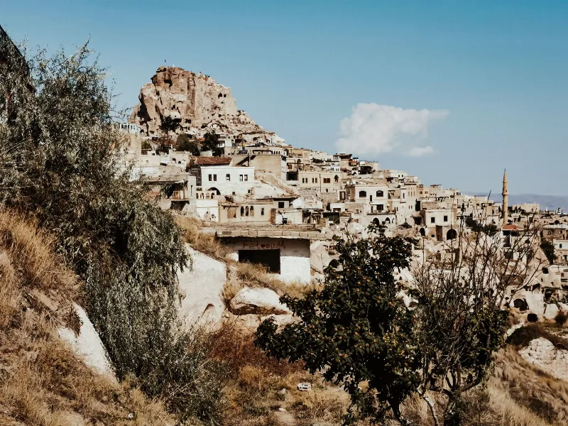
Nevşehir
Nevşehir is a provincial capital in Central Anatolia and the main urban base for the rock landscapes, underground settlements and balloon flights of the Cappadocia region.
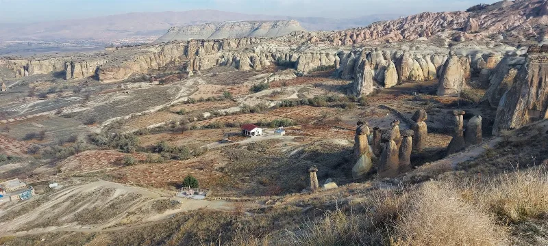
Cappadocia
Cappadocia is a region of Central Anatolia in Turkey defined by eroded volcanic tuff, rock-cut Byzantine churches and multi-level underground cities. This guide explains how the landscape formed, what the main valleys and sites actually contain, and what to know before visiting.
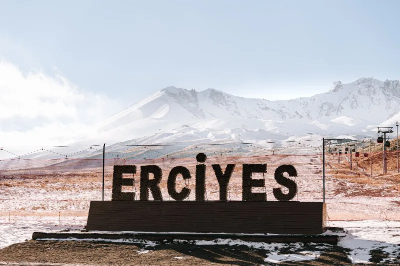
Mount Erciyes
Mount Erciyes is a dormant stratovolcano in Kayseri Province and the highest peak in Central Anatolia, rising sharply from the surrounding plain to a snow-covered summit at 3,917 metres.
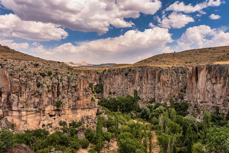
2-Day Cappadocia Underground Cities Route
A two-day route from Nevşehir through the underground cities of Kaymaklı and Derinkuyu, finishing with a walk through the Ihlara Valley and the rock-cut complex at Selime.
Derinkuyu Underground City
Derinkuyu Underground City is a multi-level rock-cut settlement beneath the town of Derinkuyu in Nevşehir Province, the deepest known underground city in Cappadocia and one of Anatolia's most complete examples of subterranean architecture.
Cappadocia's Underground Cities
Carved by hand into soft volcanic rock, the underground cities of Cappadocia form a network of tunnels, halls and storage rooms that reach several storeys below the surface of central Türkiye.