
Rumeli Hisarı
Rumeli Hisarı is a 15th-century Ottoman fortress on the European shore of the Bosphorus in Istanbul, built by Sultan Mehmed II in 1452 to control the strait before the conquest of Constantinople. It survives today as a monumental open-air museum.
Rumeli Hisarı is an Ottoman fortress standing on the European shore of the Bosphorus in Istanbul, in the Sarıyer district. It was built on the orders of Sultan Mehmed II in 1452, the year before the conquest of Constantinople, and occupies the narrowest section of the strait. Its purpose was strategic: to command the waterway and cut off shipping and military aid reaching the Byzantine capital from the Black Sea. The complex, also known as Boğazkesen Hisarı, meaning roughly "the strait-cutter fortress," remains one of the most imposing surviving examples of Ottoman military architecture in the city and functions today as a museum.
Location and Setting on the Bosphorus
The fortress sits on a sloping hillside on the European side of the Bosphorus, directly opposite the older Anadolu Hisarı on the Asian shore. That earlier stronghold had been erected in 1394 during the reign of Bayezid I, and the two structures together allowed the Ottomans to control traffic through the channel. Rumeli Hisarı was positioned at the point where the two continents come closest, a spot where the current is fast and the strait narrow, making it possible to close the passage with artillery and ships. From its walls, the fortified heights of the Asian side, the wooded ridges of the European side, and the open water of the Black Sea entrance are all visible.
The Build of 1452 and the Road to the Conquest
Mehmed II ordered the fortress constructed in preparation for his siege of Constantinople, which fell in 1453. Construction is generally understood to have begun in the spring of 1452 and to have been completed within a remarkably short span of several months. A large workforce of masons, laborers and craftsmen was assembled for the task, and the project was organized in a way that allowed three separate sections to rise at the same time, each associated with a leading Ottoman statesman of the period. The speed of the work underlined the sultan's determination to isolate the city before any attack began.
The fortress had both a military and a political function. Warships and cannon stationed there could challenge any vessel attempting to move through the Bosphorus without Ottoman approval, and the structure also served as a base and a stockpile during the campaign that ended the Byzantine Empire. In this sense it belongs to the final phase of the centuries-long Ottoman effort to take Constantinople, rather than to an earlier era of raids and frontier conflict.
Architecture and the Three Towers
The plan of Rumeli Hisarı is irregular and follows the contours of the hill on which it stands. Its defining feature is a group of three great towers of different shapes and heights, linked by thick curtain walls that descend to the water's edge. The largest tower stands close to the shore, a massive cylindrical structure that anchors the seaward side. A second tower rises further up the slope, and the third, the tallest of the group, crowns the summit of the hill. Each of the three is traditionally associated with a different Ottoman commander or vizier who oversaw its construction.
The walls are of substantial thickness and height, built from local stone with brick courses typical of Ottoman fortification of the period. Their design reflects an era in which gunpowder artillery was becoming decisive, and the masonry was intended to resist bombardment as well as to provide a platform for the defenders' own cannon. Inside the enclosure, the original complex was more than a purely military installation. It contained a small mosque, a bathhouse and other service buildings to support the garrison, and it was conceived as a self-contained settlement as well as a strongpoint.
The Fortress Through the Ottoman Centuries
After the conquest of Constantinople in 1453, Rumeli Hisarı lost much of its immediate strategic value, since the strait was now firmly in Ottoman hands. It continued in use, however, as a garrison, a checkpoint and at times a place of confinement, and it was repaired on several occasions following damage from earthquakes and the effects of time. Its role shifted gradually from frontline fortress to a control point on an internal waterway, and over the centuries some of the smaller structures within its walls fell into ruin or disappeared.
What Survives Today
The three main towers and the connecting walls remain the dominant surviving elements. Visitors can still trace the line of the fortifications from the shore up to the hilltop, examine the thick stonework and the differing profiles of the towers, and see the remains of the internal buildings, including the bathhouse. From the upper levels there are wide views along the Bosphorus in both directions, toward the Black Sea to the north and toward the city to the south. The site has been restored and is presented as a monument and museum rather than an active military installation.
- The great cylindrical tower beside the water
- The middle tower on the slope
- The tallest tower at the summit of the hill
- The curtain walls linking all three
- Surviving remains of the interior buildings and bathhouse
Visiting the Fortress
The ground inside Rumeli Hisarı is uneven and sloped, with stairs leading between levels and up into the towers, so comfortable walking shoes are advisable. Because the site is on a hillside, some climbing is unavoidable to reach the highest viewpoints. The surrounding district of Sarıyer can be reached by road and by public transport along the European shore of the Bosphorus, and the fortress lies on the main coastal route between the city centre and the northern suburbs. The general area is busiest in the warmer months, and mornings or shoulder seasons tend to be quieter for those who wish to explore the masonry and the towers without crowds. Outdoor events and concerts have been held at the site in the past, so access to particular areas can occasionally be affected.
Nearby Historic and Geographic Context
Across the Bosphorus, Anadolu Hisarı provides a direct point of comparison, being the earlier and smaller of the two Ottoman fortresses that once controlled the strait. The coastal settlements along the European shore, including the neighbourhoods near Hisarüstü and Bebek, sit in the same historic corridor between the city and the Black Sea. The fortress is also a useful starting point for understanding the wider defensive network that Mehmed II developed around Constantinople before 1453, of which the Rumeli Hisarı is the best-preserved single element in Istanbul.
Routes
All routes →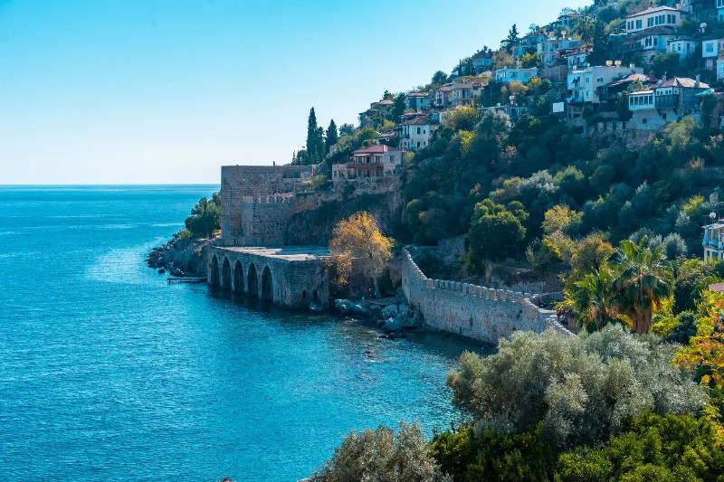
3-Day Alanya and Side Route
A three-day route along Türkiye's eastern Mediterranean coast, starting at Alanya Castle, continuing west to the ancient city of Side, and ending at the Manavgat Waterfalls.
Explore →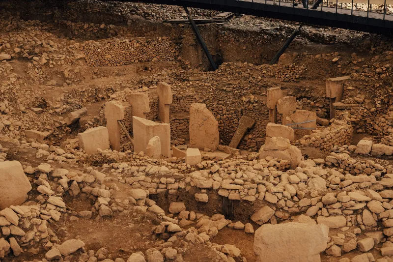
4-Day Southeastern Anatolia Route: Gaziantep to Mardin via Şanlıurfa
A four-day linear route across Southeastern Anatolia, linking the historic cities of Gaziantep, Şanlıurfa and Mardin by road, with the Neolithic site of Göbeklitepe and the ancient settlement of Harran fitted into the middle of the journey.
Explore →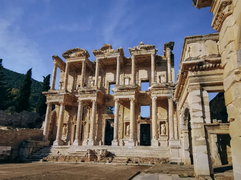
6-Day Aegean Ancient Cities Route
A six-day linear journey from Izmir to Denizli through the great ancient cities of the Aegean, linking Ephesus, Priene, Miletus, Didyma, Lake Bafa, Pamukkale, Laodicea and Aphrodisias in one coherent corridor.
Explore →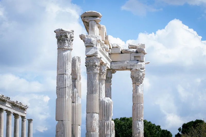
2-Day Bergama and Ayvalık Route: Pergamon to Cunda Island
A compact two-day route that pairs the terraced ruins of ancient Pergamon in inland Bergama with the olive-growing Aegean coast at Ayvalık and the causeway-linked island of Cunda.
Explore →Related content
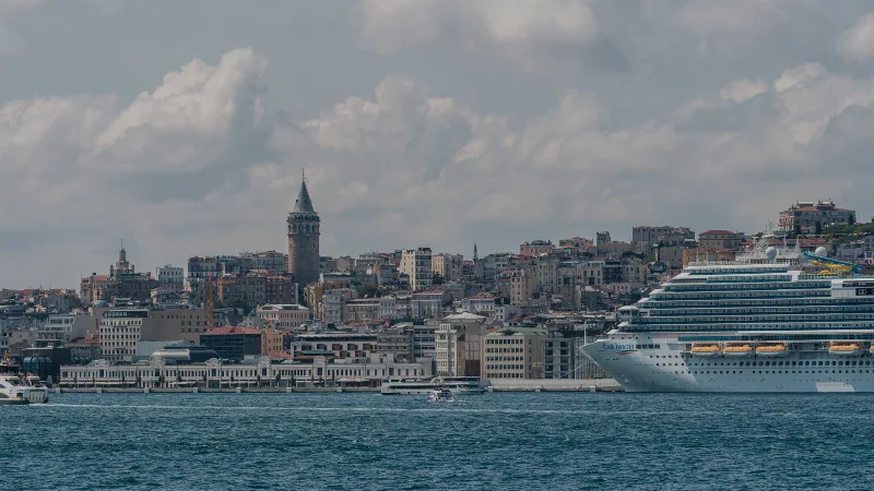
Istanbul
Istanbul is Türkiye's largest city and the country's only metropolis that spans two continents, divided by the Bosphorus strait into a European and an Asian half. Its long run as an imperial capital left a historic core of palaces, mosques and bazaars that still shapes the city's identity.
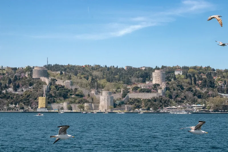
Anadolu Hisarı
Anadolu Hisarı is an Ottoman fortress built by Sultan Bayezid I in 1393–1394 on the Asian shore of the Bosphorus in Istanbul, commanding the narrowest stretch of the strait. Long described as the oldest surviving Ottoman building in the city, it was later reinforced by Mehmed II in preparation for the conquest of Constantinople.
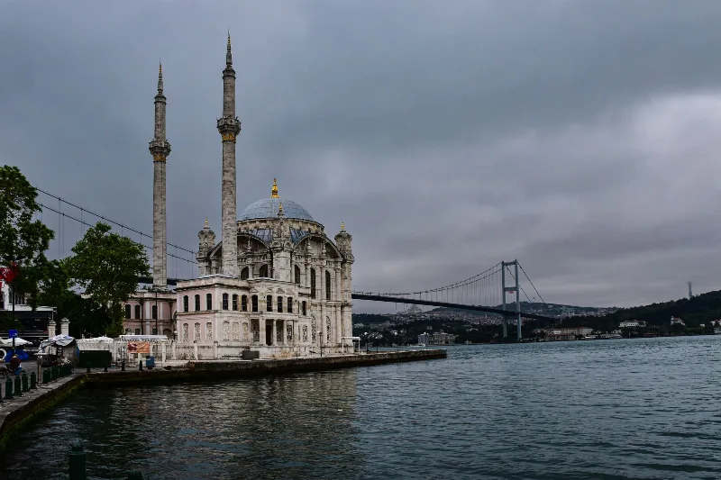
2-Day Istanbul Bosphorus Route
A two-day Bosphorus route that starts on Istanbul's European shore at Ortaköy and Bebek, includes a ferry cruise up the strait, then crosses to the Asian side for Kadıköy and Üsküdar.
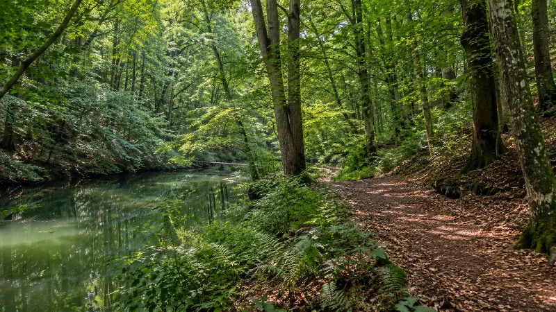
Belgrad Forest
Belgrad Forest is a historic broadleaf woodland on the European side of Istanbul, managed for centuries as the water catchment for the city. Its beech, oak and chestnut stands are cut by stream valleys and small Ottoman-era reservoirs.
The Bosphorus Strait and Its Historic Mansions
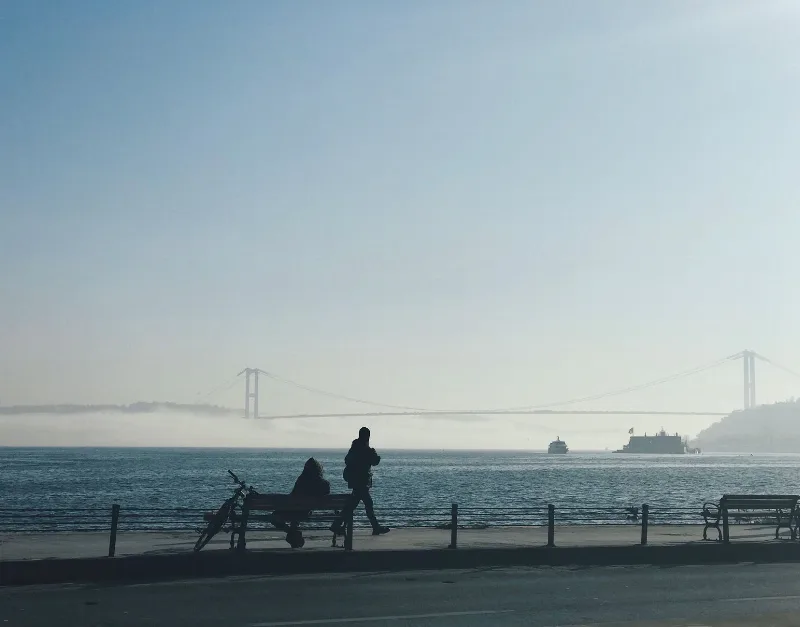
The Bosphorus is the winding strait that divides Istanbul between Europe and Asia, and its shores are lined with wooden Ottoman-era waterfront mansions known as yalıs.
The Oil Wrestling Tradition of Kırkpınar
Held each summer on a meadow beside the Tunca River, Kırkpınar is Edirne's centuries-old oil wrestling festival, where pehlivan compete in leather kispet slicked with olive oil.