
Belgrad Forest
Belgrad Forest is a historic broadleaf woodland on the European side of Istanbul, managed for centuries as the water catchment for the city. Its beech, oak and chestnut stands are cut by stream valleys and small Ottoman-era reservoirs.
Belgrad Forest — Belgrad Ormanı in Turkish — is a large state-owned woodland on the European side of Istanbul. It occupies the rolling plateau between the Sarıyer district and the Black Sea coast, and continues west toward Kemerburgaz and the edges of Eyüp. The environment is a closed broadleaf forest of Oriental beech, oak, hornbeam and sweet chestnut, dissected by shallow stream valleys and containing a series of small historic reservoirs. What defines the place is the long relationship between trees and water: this is not remote wilderness but a woodland that has been managed for centuries to protect the springs and catchments supplying Istanbul.
Where the Forest Lies
The forest sits on the European side of the Bosphorus, roughly 15 to 20 kilometres north-west of the historic centre, on the same plateau that carries the city's northern suburbs. Its southern fringes meet the built-up edges of Maslak and Ayazağa; its northern edges thin out toward the Black Sea villages around Rumelifeneri and Kilyos. Administratively most of it falls within Sarıyer, with portions reaching into Eyüp and the Kemerburgaz area. The terrain is a gently rolling plateau rather than mountains — low ridges, broad shoulders of land and shallow valleys cut by streams, with no dramatic peaks. Elevation is modest throughout and the forest's scale comes from its extent, not its relief.
Two of the city's better-known watercourses rise in or near the woodland: the Alibey and Kağıthane creeks, which flow south-east toward the urban core. Their headwater valleys are part of what makes the forest ecologically significant, since the tree cover regulates runoff into the reservoirs downstream.
A Woodland Built Around Water
Belgrad Forest has been a protected water source since Byzantine times, when the wooded hills north of Constantinople were already guarded to safeguard the city's supply. The Ottoman period added the small masonry dams known in Turkish as bent, built between the sixteenth and nineteenth centuries to impound the streams. Several of these — including Kirazlıbent, Büyük Bent, Topuzlu Bent, Valide Bendi and Ayvad Bendi — survive within the forest and are the most distinctive built features in the landscape. They are low, compact stone structures holding narrow sheets of water in wooded hollows, and they remain part of the city's water infrastructure rather than recreational lakes. Swimming and similar uses are not part of how these reservoirs function, and the protected zones immediately around them are not open in the way ordinary parkland is.
The forest's Turkish name comes from a resettlement episode in the sixteenth century, when Serbs from Belgrade were brought to the area under Suleiman the Magnificent. The name stuck to the woodland long after the settlement itself disappeared from memory.
What Grows There
The dominant tree is Oriental beech, which gives the forest its characteristic tall, smooth-barked, high-canopy appearance and its strong autumn colour. Oaks, hornbeam, sweet chestnut, maples and elms mix in, with a shrub layer of hazel, laurel and other understorey species. Because the woodland has been protected rather than cleared, parts of it carry the structure of old-growth temperate forest: deep leaf litter, standing and fallen dead wood, and a closed canopy that keeps the interior notably cooler and moister than the city outside.
The moisture and the protection also explain the wildlife. Wild boar and roe deer are the most frequently encountered larger mammals, alongside foxes and squirrels, and the forest is rich in woodpeckers and other woodland birds. The animals are shy and the boar in particular are best given distance rather than approached.
Along the Valleys and Around the Reservoirs
The most characteristic walking environment is the stream hollow: a shaded valley floor with a small stone dam, a pool of dark water, and beech woods rising on both sides. These hollows are what visitors generally come to see, and they are scattered across the forest in separate pockets rather than concentrated on one route. The settlement of Bahçeköy functions as the main gateway on the eastern side, and the Neşet Suyu area and the cluster of dams around Büyük Bent are the parts most people see first.
Near Bahçeköy, the Atatürk Arboretum holds labelled collections of trees and shrubs within the forest block, and it is a distinctly different environment from the surrounding woodland — planted, ordered and botanical rather than wild. Elsewhere, the forest edges toward Kemerburgaz are more open and more heavily used by local walkers.
How the Forest Changes Through the Year
Spring arrives late compared with the city centre. Beech leaves come out gradually, the understorey greens first, and the woodland floor carries spring flowers before the canopy closes over. This is the wettest and muddiest period, with the stream valleys holding water and the paths soft.
Summer is the least rewarding season for visitors: the canopy is dense and dark, the humidity is high, mosquitoes are persistent near water, and undergrowth restricts movement off established paths. Autumn is when the forest is at its most distinctive, with beech turning yellow and copper and the leaf fall opening up the views into the valleys. Winter can bring snow, which the forest holds longer than the city because of its elevation and tree cover; the woodland is quieter then, but paths become icy and daylight is short. The forest also receives more precipitation than central Istanbul, so rain gear is relevant in almost any month.
Terrain, Paths and Practical Conditions
The walking is on forest tracks and paths of moderate gradient rather than steep mountain terrain, but surfaces vary: compacted earth, leaf litter, roots, and muddy stretches in the valleys. Good shoes matter more than technical equipment. Because the forest is large and the track network is dense, it is easy to walk further than intended; carrying a map or offline navigation is sensible where paths fork.
Several practical points follow from the forest's status. It is a protected catchment and a managed state forest, so some zones are closed, vehicle access is limited, and fires are not permitted. The reservoirs are drinking-water infrastructure, not lakes for recreation. Wild boar are present throughout and are most active around dawn and dusk. Tick bites are a seasonal consideration in the undergrowth, and long sleeves are worthwhile in late spring and summer.
Reaching the Area
The forest is approached from several sides. The eastern entrances are reached from the Sarıyer–Maslak corridor and from Bahçeköy, which is the most common starting point and has long been the administrative centre of the woodland. From the west, the Kemerburgaz side gives access to the outer blocks. The northern edge of the forest fades toward the Black Sea coast, so the area can also be combined with visits to the coastal villages around Rumelifeneri and Kilyos. Public transport serves the settlements on the fringes, but the interior is essentially pedestrian.
Conservation and Nearby Natural Places
Belgrad Forest is protected primarily because of its role in water supply, and that purpose has preserved a large block of temperate broadleaf forest immediately beside one of Europe's largest cities. It is an unusual case: a woodland whose condition reflects centuries of deliberate restraint rather than remoteness. Visitors looking for further natural settings in the same part of Istanbul can continue north to the Black Sea shoreline around Kilyos and Rumelifeneri, or explore the wooded valleys and reservoirs on the Kemerburgaz side, which share the same forest system but a different, more open character.
Beaches & bays
See the coast →
Related content
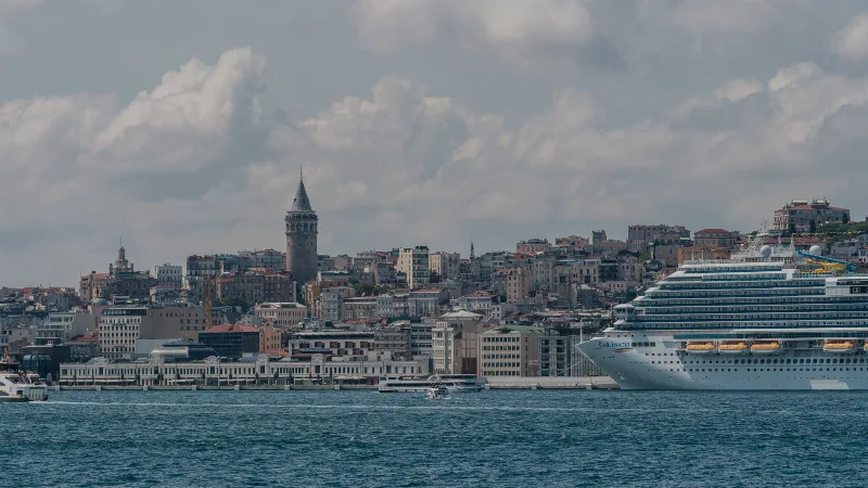
Istanbul
Istanbul is Türkiye's largest city and the country's only metropolis that spans two continents, divided by the Bosphorus strait into a European and an Asian half. Its long run as an imperial capital left a historic core of palaces, mosques and bazaars that still shapes the city's identity.
Marmara Region
The Marmara Region connects Europe and Asia, bringing together historic cities, beautiful coastlines, green landscapes and a rich cultural heritage. From Istanbul's iconic skyline to the peaceful shores of the Marmara Sea, the region offers a remarkable variety of places to discover.
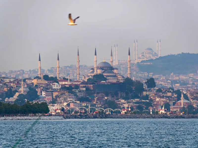
Istanbul's Historic Sultanahmet
Sultanahmet is Istanbul's historic core, a walkable peninsula of Byzantine and Ottoman monuments facing the Bosphorus and the Sea of Marmara.
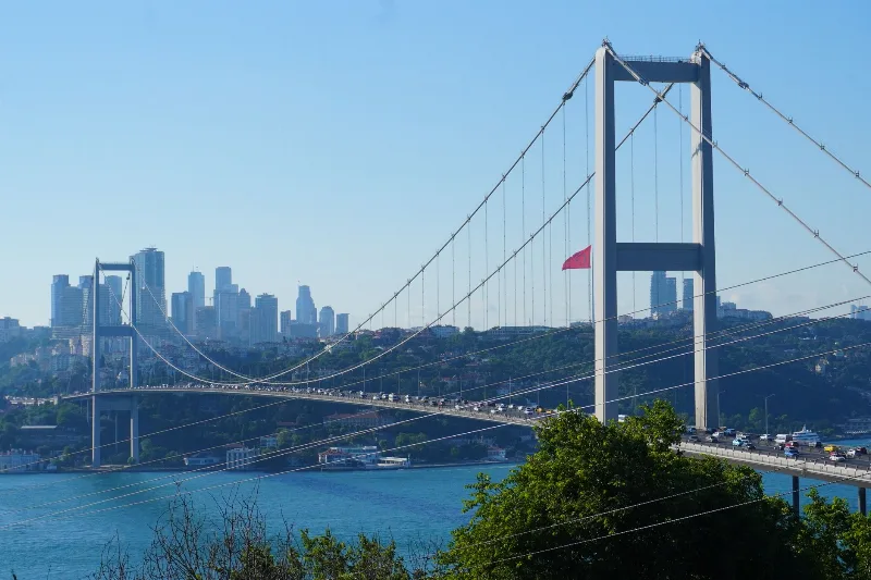
3-Day Istanbul to Bursa Route
Explore the first Ottoman capital on a three-day route from Istanbul to Bursa, combining historic city sites, the mountain landscapes of Uludağ, and the preserved village of Cumalıkızık.
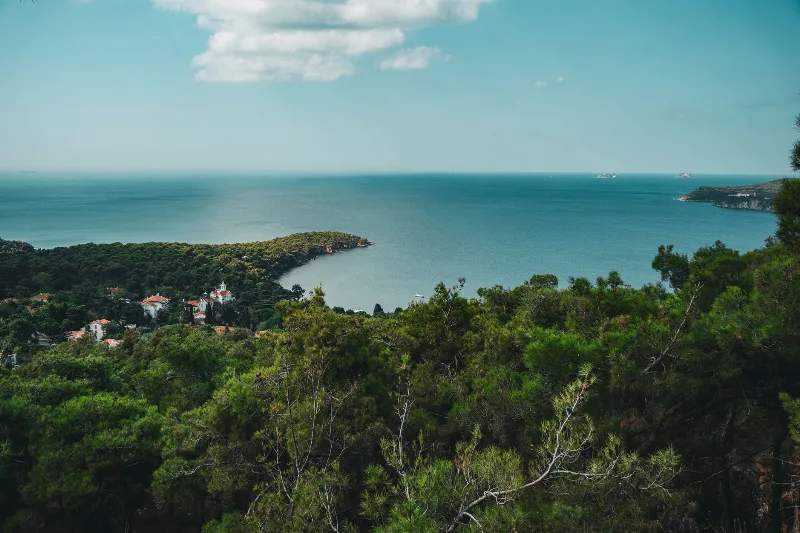
The Serene Beauty of the Princes' Islands
Just a short ferry ride from Istanbul, the Princes' Islands offer pine-covered hills, car-free streets and calm Marmara Sea views. This guide explores the archipelago's landscapes, history and island life.
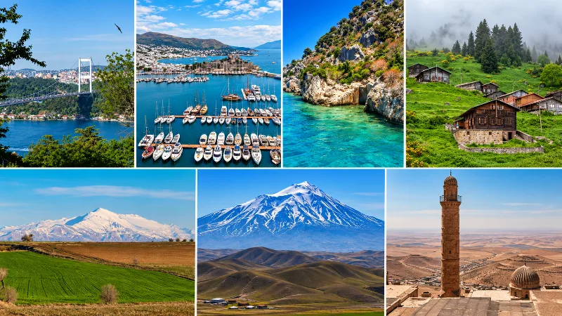
The Seven Geographical Regions of Turkey
An introduction to Turkey’s seven geographical regions and the landscapes, climates and cultural characteristics that distinguish them.