
Karahan Tepe
Karahan Tepe is a Pre-Pottery Neolithic site in Şanlıurfa Province, Türkiye, known for T-shaped pillars and animal reliefs and dated to roughly 9500 BCE.
Karahan Tepe is a Neolithic archaeological site in Şanlıurfa Province in southeastern Türkiye, situated near the better-known Göbekli Tepe. It is characterised by T-shaped stone pillars decorated with animal reliefs and is dated to approximately 9500 BCE, placing it among the oldest known temple complexes in the world. Like its neighbour, it belongs to the group of early monumental sites that have reshaped how archaeologists understand the transition from mobile hunter-gatherer life to settled, complex societies.
What Karahan Tepe actually is
Karahan Tepe is not a single building but an archaeological site made up of several structures, carved features and standing stone elements spread across a rocky plateau. Its defining components are T-shaped limestone pillars, some of which carry relief carvings of animals, set within carefully shaped communal spaces. The site is associated with the Pre-Pottery Neolithic period, a phase before the invention of pottery in the region, when communities were already erecting large, deliberately designed monuments.
Because excavation is ongoing and much of the site remains buried, what is visible changes over time. Rather than a finished, fully presented monument, Karahan Tepe is best understood as an active excavation where new discoveries continue to be reported. That status makes it important both as a visitor destination and as a live subject of prehistoric research.
Where it sits in Şanlıurfa
The site lies in the Şanlıurfa region of southeastern Türkiye, an area often referred to by its association with early monumental architecture. It is located to the east of Göbekli Tepe, within the broader landscape of the Tek Tek Mountains, a range of rocky, scrubby hills that gives the site its distinctive stony character. The surrounding terrain is dry and undulating, with exposed limestone, sparse vegetation and wide views across the plateau and its shallow valleys.
This setting matters. The builders of Karahan Tepe chose a high, rocky location rather than a river valley or a fertile plain, which has fed ongoing debate about the role of such sites in early ritual and social life. The site is part of a wider cluster of Neolithic locations in the region, sometimes grouped together under a shared umbrella because of their similarities in date, structure and design.
Why it is important and how it relates to Göbekli Tepe
Karahan Tepe is significant because it belongs to the same early Neolithic horizon as Göbekli Tepe, yet it is a separate and distinct site. The two are often mentioned together, and Karahan Tepe is sometimes described as a neighbour of Göbekli Tepe, but it should not be treated as an extension of it. Each site has its own layout, its own excavated structures and its own place in the wider network of early monumental centres.
The importance of Karahan Tepe lies in what it adds to the picture rather than what it repeats. Evidence of T-shaped pillars and animal reliefs appears at both sites, but the details differ, and those differences help researchers understand how early communities in the region shared ideas while developing their own local traditions. The very fact that monument building appears at multiple locations in a relatively small area suggests that such activity was more widespread than once assumed.
The date of around 9500 BCE places Karahan Tepe in a very early phase of monumental construction, before farming and pottery were established in the region. The presence of large carved stones and organised communal spaces at this date is a central reason the site is considered archaeologically remarkable.
The architecture and the carved pillars
The most recognisable feature of Karahan Tepe is the T-shaped pillar. These are limestone monoliths, roughly the shape of an inverted or upright letter T, embedded in and around built structures. Some pillars are plain, while others are decorated with low reliefs of animals. These carvings provide direct evidence of the imagery that mattered to the people who used the site.
Alongside the pillars, the site contains prepared floors, walls and hollowed features cut into the bedrock, indicating that the builders shaped the natural stone as well as raising standing elements on top of it. Together, these features point to planned, deliberate construction rather than accidental accumulation, and they form the basis for interpreting the site as a place of communal, potentially ritual, importance.
What you can actually see and what to expect
Because Karahan Tepe is an excavation area, the visitor experience is closer to viewing an active archaeological site than a museum or a reconstructed monument. Visible elements may include standing and broken T-shaped pillars, carved reliefs where exposed, cleared floors and walls, and the surrounding cut-stone features within the excavated zones. Some areas may be covered, protected or temporarily inaccessible depending on the season and the state of the work.
Interpretation at such sites is limited compared with fully developed heritage sites, so it helps to arrive already understanding the basic terms: Pre-Pottery Neolithic, T-shaped pillar, and relief carving. Knowing these makes what you are looking at far easier to read.
Landscape and physical character
The site occupies a rocky, elevated setting with broad views over the surrounding countryside near Şanlıurfa. The terrain is uneven and stony, dominated by limestone outcrops, low scrub and dry ground typical of southeastern Türkiye. Summer heat is intense and there is little shade, while spring and autumn bring milder conditions and greener surroundings. Winter can be cold and wet, and occasional rain or snow can affect the ground underfoot.
Because the surface is rough, sturdy footwear is useful, and mobility on uneven stone can be a consideration for some visitors.
Access and practical points before visiting
Karahan Tepe is reached from the city of Şanlıurfa by road, following routes out towards the Tek Tek Mountains area. Access arrangements, opening status and site facilities can change, particularly because excavation work continues, so it is sensible to confirm current conditions locally before travelling. Because information about visiting hours and guided options can change, treat any single fixed detail as something to verify rather than rely on.
Practical points worth keeping in mind include the region's hot, dry summers, the strong sun on exposed stone, and the limited natural shelter. Bringing water and sun protection is advisable in the warmer months. Photography of the excavated structures is generally the main reason people visit, so a camera and patience for the open, sunlit conditions help.
Best periods to visit
Spring and autumn are generally the most comfortable seasons for visiting this part of southeastern Türkiye, with moderate temperatures and more manageable conditions on the exposed site. High summer brings significant heat, and the winter months can be cold and unpredictable. The site's appearance also changes through the year: greener in spring, drier and barer in late summer, which affects both the landscape and the ease of moving around.
Related places nearby
Göbekli Tepe is the closest well-known Neolithic site and shares the same broad archaeological context, which is why the two are so often discussed together. Şanlıurfa city itself, with its historic and religious heritage, is the main urban base for the area. The surrounding Tek Tek Mountains form the natural setting shared by these early sites and give the region its distinctive rocky character. Exploring Karahan Tepe in the context of the wider Şanlıurfa landscape, rather than in isolation, gives a more complete sense of why this part of Türkiye matters so much to the study of early human history.
Related content
Şanlıurfa
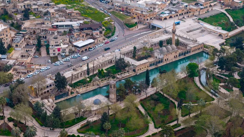
Şanlıurfa, commonly called Urfa, is a large city in southeastern Türkiye and the capital of its province. It is known both as a place tied to the tradition of the Prophet Abraham and as the gateway to Göbekli Tepe, one of the oldest monumental sites ever found.
Göbekli Tepe
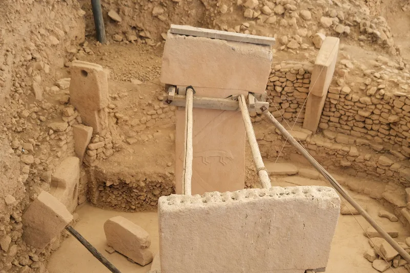
Göbekli Tepe is the oldest known monumental stone complex, raised by hunter-gatherers near Şanlıurfa in southeastern Türkiye around 9600 BCE. Its carved T-shaped pillars and deliberate burial have reshaped ideas about the Neolithic.
Uncovering the Mysteries of Göbekli Tepe
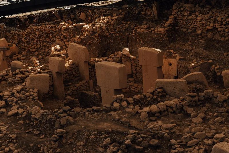
Explore Göbekli Tepe, an ancient archaeological site that reshapes our understanding of human history and civilization.
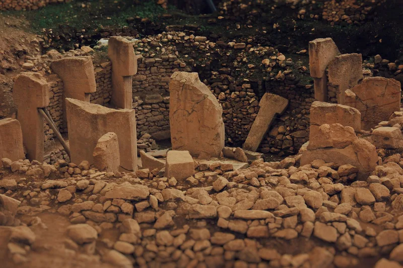
Göbekli Tepe Archaeological Site
Discover Göbekli Tepe, an extraordinary archaeological site in Türkiye revealing ancient civilizations through its monumental structures.
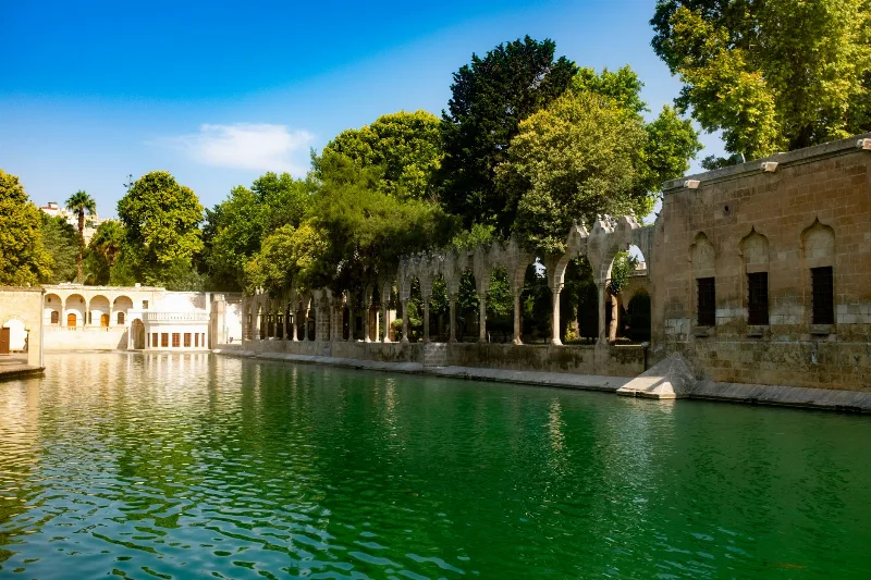
Şanlıurfa's Historical and Cultural Richness
Şanlıurfa in southeastern Türkiye blends Neolithic archaeology, sacred pools, ancient Harran and a lively food and music tradition into one remarkably layered destination.
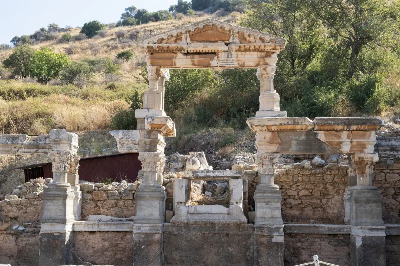
Cultural Heritage of Anatolia
Anatolia's cultural heritage spans millennia, blending ancient civilizations, architectural marvels, and living traditions across Türkiye.