
Lake Tuz
Lake Tuz is a hypersaline lake in Central Anatolia and the second-largest lake in Turkey, known for its salt crust, its salt industry and its flamingo colonies.
Lake Tuz, known in Turkish as Tuz Gölü, is a hypersaline lake lying in a closed basin in Central Anatolia and the second-largest lake in Turkey. Its shores fall within the provinces of Ankara, Konya and Aksaray, roughly between the cities of Ankara to the north, Konya to the southwest and Aksaray to the southeast. The lake sits at about 900 metres above sea level and is extremely shallow, with depths typically measured in tens of centimetres to around one or two metres, so the water body expands and contracts dramatically through the year. It is notable for three things that reinforce one another: it is one of the country's principal sources of salt, it is a major breeding and feeding ground for greater flamingos and other waterbirds, and its summer transformation into a cracked expanse of white salt crust makes it a landscape unlike anywhere else in Türkiye.
A Closed Basin with No Outlet
Lake Tuz occupies the floor of an endorheic basin, meaning it has no outflow to the sea. Water arrives through rainfall, small seasonal streams and, above all, groundwater moving through the surrounding plains, and it leaves only by evaporation. Because dissolved salts have no route out, they concentrate over time. This is the basic mechanism behind the lake's extreme salinity, which in the driest parts of the year can reach levels close to saturation.
The basin is bordered by wide, gently sloping steppe. Across the northern and western margins the land rises into low hills and long agricultural plains, while the southern and eastern shores are flatter and more open. The lake's outline is not fixed: in a wet winter it can spread across roughly 1,600 square kilometres, and by late summer it can retreat to a fraction of that, leaving broad flats of exposed salt and damp sediment behind.
Salt: The Resource That Shaped the Place
Salt harvesting at Lake Tuz is not a modern invention. The deposits have been worked since antiquity, and the lake remains one of the largest single sources of salt in Türkiye. In the dry months the crust that forms on the surface is thick enough in places to be cut or scraped, and the harvested material is processed for food, industry and road use. The traditional rhythm of the lake is tied to this cycle: water in winter, crust in summer, harvest in the driest weeks.
Because the salt is a natural product of evaporation rather than a mined seam, the appearance of the working areas changes constantly. Where water still stands shallowly, the surface reflects the sky. Where it has gone, the ground hardens into pale, patterned plates.
Flamingos and the Bird Life of the Lake
Despite the harsh chemistry of the water, Lake Tuz is ecologically productive. Salt-tolerant algae and microscopic organisms thrive in the brine, and the brine shrimp that feed on them become food for birds. The lake and its surrounding wetlands form one of the most important breeding sites for greater flamingos in the Mediterranean region. In strong years the colony here has produced tens of thousands of chicks, and the birds are the single most recognisable living feature of the lake.
Flamingos are not the only species present. The shallow water, mudflats and neighbouring marshes also attract avocets, stilts, gulls, terns, ducks, waders and raptors, and the area is used by migrating birds as a staging point on routes between Europe and Africa. The nesting colonies are concentrated in specific areas, generally away from the most accessible shorelines, and disturbance at those sites can cause birds to abandon nests.
In some areas the water itself takes on a pink or reddish tint, a result of salt-loving algae and other microorganisms. Seen from a distance, the colouring can be mistaken for something artificial; it is entirely natural and strongest when the water is warm and evaporation is rapid.
What the Salt Crust Actually Looks Like
The defining visual feature of Lake Tuz is the salt crust. As the water recedes, a white layer forms and then dries, cracking into a network of polygonal plates separated by dark seams. The surface is hard and uneven underfoot rather than soft, and in places it is thick enough to walk on. Where a thin film of water remains on top, the crust turns into a mirror, and the horizon effectively disappears.
The crust does not cover the whole basin evenly. Some zones stay wet, some become slushy, and some harden completely. The edges tend to be muddier and softer than the interior. Anyone walking out onto the flats should expect to get salt and mud on shoes and clothing, and should avoid areas where the surface looks dark, wet or recently disturbed.
Seasonal Conditions and When to Visit
The lake has two very different faces. From late spring into early summer, water levels are still relatively high, the surface is reflective and the surrounding steppe is green; this is also the flamingo breeding period, so the lake is at its most ecologically active but also at its most sensitive. Late summer and early autumn bring the fully developed salt crust and the clearest access to the flats, with strong light and high temperatures during the day. Winter rain refills parts of the basin and can make the shoreline muddy and difficult to reach.
Practically, spring and early autumn are the most comfortable periods. Midsummer visits are possible but involve intense sun, glare from the salt and very little shade. Whatever the season, the lake is an exposed, open environment with no natural shelter along much of its shoreline.
Access and Practical Visiting Notes
Lake Tuz is not a single gated attraction with one entrance. It is a large natural feature crossed and skirted by roads, and visitors generally reach it from a few directions. The main highway corridor between Ankara and Aksaray runs close to the lake, and the area around Şereflikoçhisar in Ankara province is a common access point. From Konya, roads heading north and northeast also bring you to the southern shore. The lake lies within a reasonable drive of all three provincial centres and is often seen as a stop rather than a destination in itself.
There is no fee to view the lake, and no reliable expectation of facilities, shade, drinking water or marked trails along most of the shoreline. The terrain is flat but not uniform: hard crust, soft mud and shallow water can occur within a short distance of each other. Shoes that can tolerate salt and mud are useful, and sun protection is essential. Because the flats offer almost no landmarks, it is worth noting the position of your vehicle before walking out, and worth keeping well clear of any bird colonies or nesting areas.
The lake is also formally protected as a special environmental protection area, which places restrictions on development and reflects its status as a site of national ecological importance.
Water Levels, Drought and a Changing Lake
Lake Tuz is highly sensitive to how much water reaches it. Reduced rainfall, abstraction of groundwater for irrigation and diversion of surface water in the surrounding basin have all contributed to lower levels in recent decades, and the extent of standing water varies sharply from year to year. In particularly dry years the consequences have been visible and severe, including mass mortality among flamingo chicks when feeding and nesting areas dried out. This makes the lake an unusually clear example of how a closed basin responds to pressures far beyond its own shores.
Related Places Nearby
A visit to Lake Tuz combines naturally with other sites in the same part of Central Anatolia. The historic Seljuk caravanserai at Sultanhanı stands on the Konya–Aksaray road, and the town of Aksaray is a useful base for the wider region. South of the lake, the Ihlara Valley and the rock-cut landscapes around Selime lead toward Cappadocia. To the west, Konya offers a deep layer of Seljuk architecture and history, while Ankara to the north provides the main transport links. The smaller crater and karst lakes scattered across the surrounding steppe, including the volcanic Lake Meke area, belong to the same wider geography of closed basins and unusual water bodies that defines this part of the Anatolian plateau.

Related content
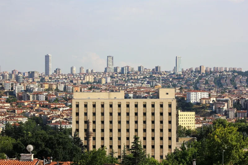
Ankara
Ankara is the capital of Türkiye and the country's second-largest city, set on the high plateau of Central Anatolia and defined by its republican institutions, its long pre-Ottoman history and the mausoleum of Mustafa Kemal Atatürk.
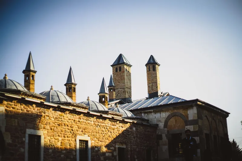
Konya
Konya is a city known for its spiritual essence and cultural heritage, home to the Mevlana Museum and the whirling dervishes.
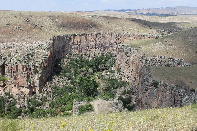
Aksaray
Explore Aksaray, Central Anatolia: history, standout sights, landscapes, local food and practical travel advice for an unforgettable journey in Türkiye.
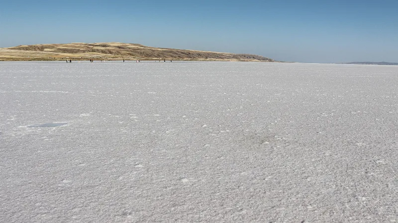
Lake Tuz
Lake Tuz (Tuz Gölü) is a hypersaline salt lake spread across Ankara, Konya and Aksaray in Central Anatolia, and one of the largest salt lakes in the world. Its shallow water, seasonal salt crust and flamingo colonies give it a character unlike any other lake in Türkiye.
Flamingo Migration in Lake Tuz, Aksaray
Every spring, Lake Tuz in Aksaray becomes one of the Mediterranean's most important flamingo breeding sites, with thousands of birds nesting on its shallow, hypersaline flats through summer.

Central Anatolia Region
Central Anatolia is the historic heartland of Türkiye, known for its wide plains, extraordinary rock formations, ancient civilizations and traditional towns. From the fairy chimneys of Cappadocia to the cultural landmarks of Ankara and Konya, the region reveals the rich history and natural beauty of inner Anatolia.