
Malatya
Malatya is a metropolitan city in eastern Türkiye and the heart of the country's apricot industry. Its layered history reaches back to the Chalcolithic settlement at Arslantepe, a UNESCO World Heritage Site beside the modern urban centre.
Malatya is a metropolitan city in eastern Anatolia, in the eastern part of Türkiye, and the administrative centre of Malatya Province. It stands on a high plain in the upper Euphrates basin at roughly 950 metres above sea level, and it is known internationally as the centre of Turkish apricot production — a crop so tightly linked to the city that its name is associated with dried apricots in markets around the world. Beyond agriculture, Malatya belongs to the oldest continuously settled parts of Anatolia; the nearby Arslantepe mound has produced layers reaching back to the Chalcolithic period and is inscribed on the UNESCO World Heritage List.
Where Malatya lies
The city occupies a broad basin known as the Malatya Plain, ringed by mountain ranges that separate it from the surrounding plateaus. To the east and south the province is drained by the Euphrates (Fırat) and its tributaries, including the Tohma, which cut deep valleys through the high ground. This position gives Malatya a distinctly inland, highland character rather than a coastal one: the landscape is one of open plains, orchards, dry slopes and mountain backdrops rather than shoreline.
Because the plain is fertile and well supplied with water from snowmelt and rivers, it has supported dense settlement for millennia. The combination of altitude, sun and cool nights is also what makes the surrounding countryside unusually well suited to fruit growing, apricots above all.
From old Malatya to the modern city
The city that visitors see today is not the original Malatya. The historic settlement stood a short distance to the north, at what is now the Battalgazi district, and that older site preserves a compact core of Seljuk and Ottoman architecture, including a large congregational mosque that ranks among the oldest in Anatolia. Repeated earthquakes damaged the old town, and over the nineteenth century the urban centre gradually shifted to its present location on the plain, leaving Battalgazi as a historic quarter with its own identity.
Modern Malatya therefore grew as a planned, low-density city of wide boulevards, apartment blocks, parks and gardens, spreading outward across flat ground. Its two central districts are Battalgazi and Yeşilyurt, which together form the core of the metropolitan municipality and contain most of the city's civic, commercial and residential life.
Arslantepe and the deep past
Arslantepe, on the edge of the old settlement area, is the single most important archaeological reference point for the region. Excavations there have revealed a long sequence of occupation, from early village life through to the rise of complex, state-like societies and later Hittite-era activity. Its most celebrated remains belong to an early palace complex with evidence of organised administration and elaborate metalwork. The site's recognition as a UNESCO World Heritage Site has given Malatya a place on the map of world archaeology, and it functions as the historical anchor of the city's identity.
The character of the modern city
Contemporary Malatya is greener and more open than many Anatolian cities of comparable size. Orchards and market gardens historically pressed close to the built-up area, and this garden-city feel has been carried into the modern layout, with tree-lined avenues and large public parks. Turgut Özal Nature Park, within the urban area, is the best-known green space and gives residents a wooded escape without leaving the city.
The city's economy has long combined agriculture, food processing and industry, with apricot drying and packing forming a seasonal rhythm that shapes employment and trade across the province. The result is a city that feels agricultural and industrial at the same time, rather than a tourism-oriented destination.
Apricots and regional produce
No account of Malatya is complete without apricots. The province supplies the overwhelming majority of Türkiye's apricot crop and a very large share of the world's dried apricots, and the fruit is woven into local identity, festivals and commerce. Fresh apricots appear in early summer, while the dried form is processed and exported year-round. Beyond apricots, the wider province produces other orchard fruit, grapes and grain, and Arapgir in particular is associated with its own grape varieties and with a distinctive tradition of stone-built houses.
The province beyond the city
Malatya Province is large and varied, and several of its districts have characters quite different from the central plain. Darende, to the west, sits in a valley of the Tohma river with rocky gorges and historic religious buildings. Akçadağ is known for the Levent Valley, a striking canyon landscape of eroded rock formations. Hekimhan, Arguvan, Pütürge, Doğanşehir, Kale and Kuluncak stretch across mountain and plateau country where settlement is dispersed among small towns and villages. These districts give the province a rural, highland dimension that the central city alone does not suggest.
Climate and when to visit
Malatya has a continental highland climate: summers are hot and dry, winters are cold and often snowy, and spring arrives later than on the coasts. The most comfortable periods for travelling through the region are generally late spring and early autumn. Spring is also when the apricot orchards come into blossom, an event tied to the local calendar. Midsummer heat and midwinter cold are both pronounced, and the altitude means that evenings are cool even after warm days.
Reaching Malatya and getting around
The city is served by Malatya Erhaç Airport, which connects it with major Turkish cities, and it also lies on the national railway network, giving overland access from central and western Türkiye. Long-distance roads link it west toward Kayseri and central Anatolia, south toward Kahramanmaraş and Gaziantep, and east toward Elazığ and the upper Euphrates. Within the city, the flat terrain and radial boulevards make movement straightforward by car or public transport.
Malatya and the wider region
Malatya functions as a regional hub for the upper Euphrates area, linking the fruit-growing plains with the mountain districts around them and acting as a gateway between central Anatolia and the east. Its combination of a living orchard economy, a UNESCO-listed prehistoric site and a strongly layered urban history makes it distinct from the neighbouring provincial centres. For anyone tracing Anatolian history or the geography of Turkish agriculture, Malatya is a place where both stories meet.
Discover Food in Türkiye
All food →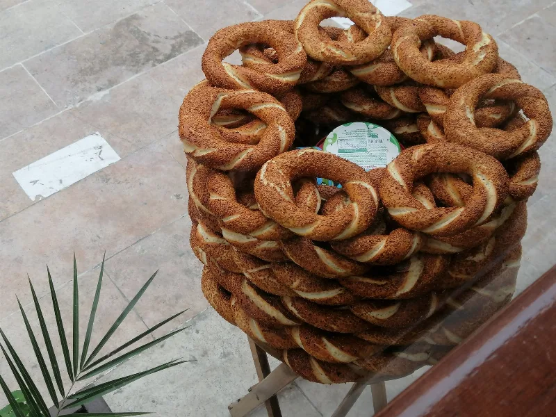
Simit
Simit is a ring-shaped Turkish bread covered in sesame seeds, strongly associated with Istanbul and sold as everyday street food. It is eaten fresh, most often with tea, and has a crisp crust around a chewy crumb.
Explore →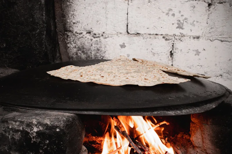
Bazlama
Bazlama is a soft, thick Turkish flatbread made from a leavened dough and cooked on a hot griddle. It is a staple of village baking across Anatolia, eaten warm with butter or used to wrap other foods.
Explore →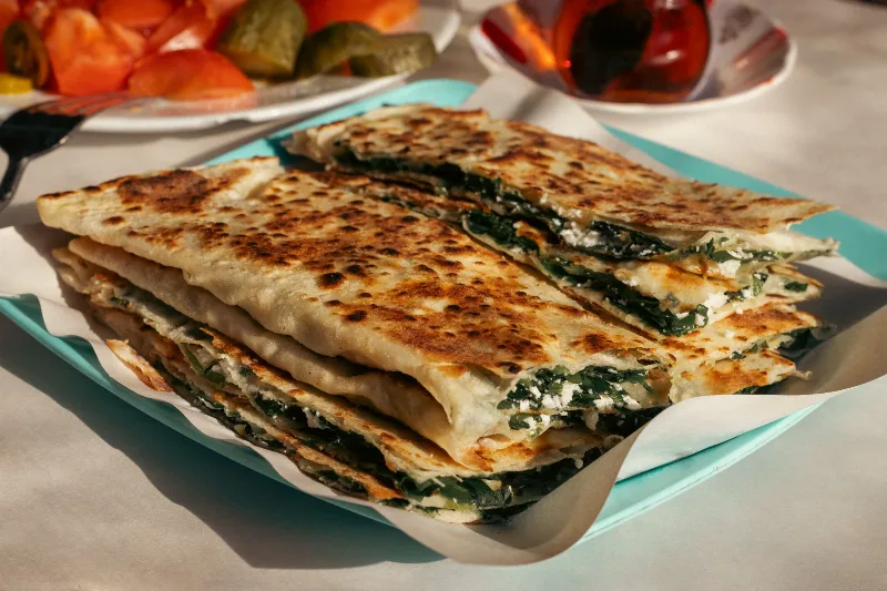
Gözleme
Gözleme is a thin, hand-rolled Anatolian flatbread folded around savory fillings such as cheese, spinach, or minced meat and cooked on a sac griddle. The article covers its regional variations, cooking method, texture, and traditional serving style.
Explore →Related content
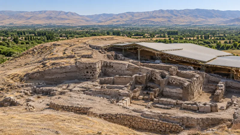
Arslantepe
Arslantepe is a deep archaeological mound on the Malatya plain in eastern Türkiye, where a Late Chalcolithic palace documents the rise of a centralised state and later Neo-Hittite rulers carved lions for its gates. It became a UNESCO World Heritage Site in 2021.
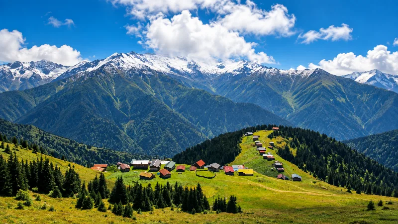
Nature
Lakes, forests, rivers, canyons, mountains, wetlands and national parks across Türkiye.
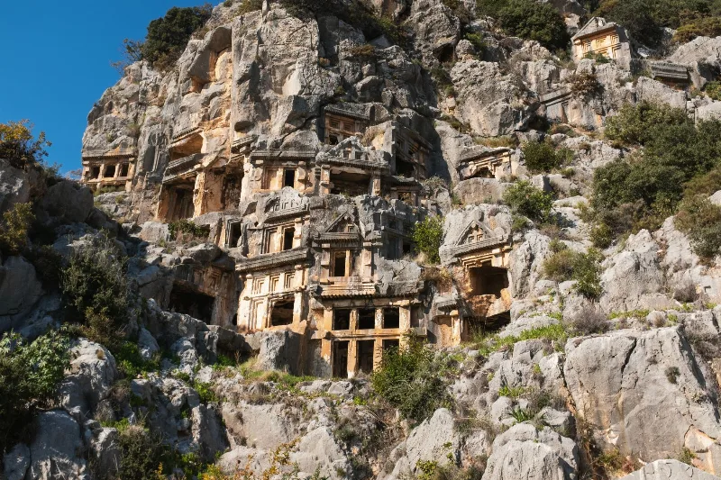
Kale
A working agricultural town on Antalya's Lycian coast, Kale — now usually called Demre — contains the Roman city of Myra, its cliff-cut Lycian rock tombs, a Byzantine church linked to St. Nicholas and the ancient harbour of Andriake.
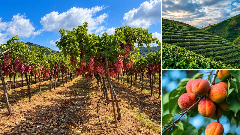
Malatya Apricots
Malatya apricots are the apricots grown in the upper Euphrates basin of eastern Türkiye, where cold winters and hot, dry summers shape the fruit that is mostly dried and traded far beyond the province.
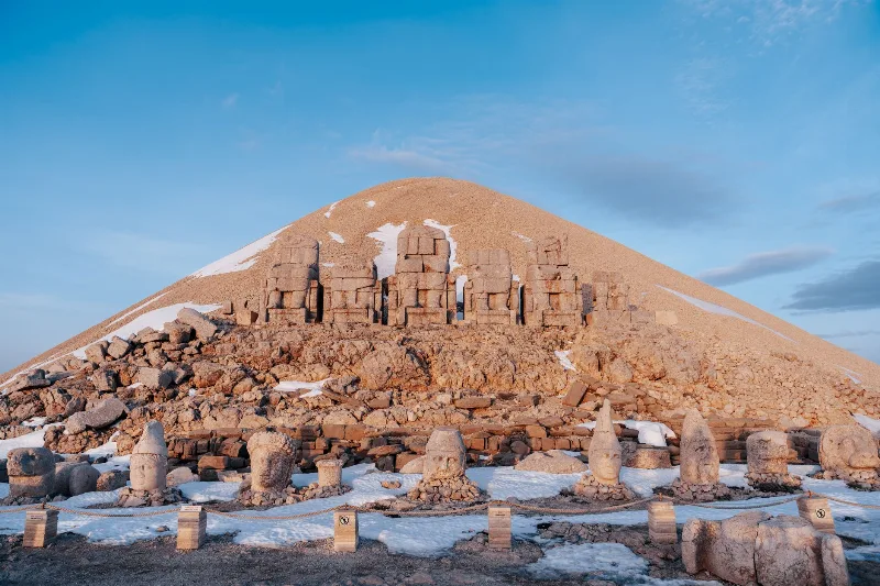
Nemrut
Mount Nemrut in Adıyaman Province is a 2,134-metre summit crowned by the colossal statues and tomb-sanctuary built by King Antiochus I of Commagene, and it has been a UNESCO World Heritage Site since 1987.
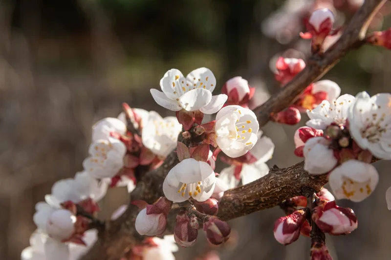
Apricot Blossom in Malatya
Each spring, the apricot orchards around Malatya in eastern Türkiye turn white and pale pink as the trees come into bloom, a short and weather-dependent window that shapes the summer harvest.