
Gito
Gito Yaylası is a seasonal highland settlement in the Çamlıhemşin district of Rize, set in the Kaçkar Mountains above the Black Sea valleys and known for its wooden yayla houses, open meadows and summer pasture life.
Gito Yaylası is a seasonal highland settlement in the Çamlıhemşin district of Rize Province, in the Eastern Black Sea region of Türkiye. It lies within the Kaçkar Mountains, on the uplands that rise steeply behind the coastal strip. Gito is a yayla rather than a permanent village: a summer pasture where families move with their livestock once the snow retreats, and which is largely left to the weather for the rest of the year. Its character comes from the combination of open mountain meadows, clusters of wooden houses built in the local Black Sea tradition and long views over the surrounding peaks, all of which are reached only by mountain roads.
Where Gito Sits Within the Çamlıhemşin Uplands
Çamlıhemşin is one of the inland districts of Rize, running from the Black Sea coast up into the highest part of the Kaçkar range. The coast itself is a narrow strip of towns and tea gardens; behind it the land climbs quickly through forested valleys before opening into the high pastures. Gito belongs to this upper zone, in the belt of yaylas that sits above the tree line and below the rocky summits.
It is not an isolated spot on its own. The Çamlıhemşin uplands contain a whole chain of named pastures — Ayder, Elevit, Pokut, Sal, Huser and others — linked by rough mountain tracks and footpaths. Gito is one of these, which means that anyone visiting it is usually moving through a wider network of pastures rather than heading to a single destination. Understanding that geography helps: Gito is one stop on a high route, not a standalone resort.
What Makes Gito Different from Other Rize Yaylas
Several yaylas in Rize have developed a good deal of visitor infrastructure over the years, with paved access roads, guesthouses and a steady flow of summer traffic. Gito has kept a more pastoral rhythm. It is primarily working pasture, and the daily scene in midsummer is shaped by animals, hay, milking and the maintenance of houses rather than by visitors.
That difference shows in the atmosphere. Because the settlement is smaller and less built up, the soundscape is dominated by cowbells, wind and running water, and the buildings are almost entirely traditional. For travellers who want to see what a Black Sea yayla actually is — a place of seasonal transhumance rather than a mountain holiday village — Gito is a clearer example than the busier pastures nearby.
Yayla Houses and Summer Settlement Life
The architecture of Gito follows the pattern found across the Kaçkar uplands. Houses are typically built of timber, often raised on a stone base that keeps the structure off damp ground, with steep roofs designed to shed heavy rain and snow. Many are simple, practical buildings rather than ornamental ones: a few rooms, a hearth, storage for tools and fodder, and an attached space for animals in some cases. Corrugated sheeting has replaced older roof coverings in many places, but the timber walls, small windows and close grouping of the houses remain characteristic.
The houses are not spread evenly. They cluster in loose groups where the ground is flattest and water is close, separated by open meadow. Fences, hay stacks and narrow trodden paths between the buildings give the settlement its shape. In summer the place is busy from early morning, when animals are taken out to graze, until evening, when they return. By late autumn most families have descended to the valleys, and the houses stand empty under snow.
The Surrounding Landscape: Meadows, Forest and Mountain Weather
Gito opens onto wide alpine grassland, grazed short through the summer and dotted with wildflowers in the early part of the season. The ground is rolling rather than flat, folding into small ridges and hollows that hide parts of the settlement from view. Below the pastures, the slopes drop into dense forest — mostly spruce and beech — which covers the middle elevations of the Kaçkar range and hides the valleys completely from above.
Above the meadows, bare ridges and rocky summits close the horizon. Cloud is a constant feature of this landscape. Fog can roll across the pasture within minutes and reduce visibility to a few dozen metres, then lift just as quickly to reveal the peaks. Rain is frequent, even in midsummer, and the streams that cut through the meadows run high after storms. The light changes fast, which is a large part of what gives the plateau its particular feel.
Walking Conditions and Terrain
Moving around Gito means walking on uneven ground. The meadows are soft and can turn muddy after rain, and the paths between houses and out to grazing areas are trodden earth rather than constructed trails. Slopes are steep in places, and the altitude makes even short climbs feel harder than the distance suggests.
Weather is the main practical concern. Conditions can shift from clear to wet and cold within an hour, and mist can make it difficult to keep a sense of direction. Sturdy footwear with grip, a waterproof layer and warm clothing are sensible even on a bright morning. Visitors who plan to walk further into the surrounding pastures should treat the terrain as genuine mountain country and allow far more time than the map suggests.
How to Reach Gito and When to Go
Access to Gito is by mountain road from the Çamlıhemşin area. The final stretch climbs steeply, is narrow in places and can be rough or unpaved, so it is not comparable to a main-road drive. The condition of these tracks varies from season to season and after heavy rain. Travellers generally reach the Çamlıhemşin uplands with their own vehicle or with organised local transport, and then continue on the mountain roads between pastures.
The visiting window is short. Snow lies on the high pastures for much of the year and can persist into late spring, while early snow can return in autumn. The reliable period is the summer months, roughly from late June to early September, when the roads are clear and the yayla is inhabited. July and August are the liveliest but also the wettest in terms of sudden showers; June and early September tend to be quieter. Outside the summer season, the settlement is effectively closed and the roads may be impassable.
Other Yaylas and Places Nearby
Gito is normally visited as part of a wider circuit of the Çamlıhemşin uplands. Ayder is the best-known yayla in the district and the main hub of the high pastures. Pokut and Sal are neighbouring pastures known for their position on high ridges, and Elevit and Huser lie on the same broad mountain system. Because these places are linked by tracks and footpaths, a trip to Gito often combines two or three of them.
Below the pastures, the valleys are worth attention in their own right. The Fırtına Valley, which drains much of this part of the Kaçkar range, is crossed by historic arched stone bridges that date from the period of local principalities and remain in everyday use. The Kaçkar Mountains National Park protects the high country above the valleys, including glacial lakes and permanent snowfields on the highest peaks. Zilkale, a medieval castle on a rocky spur in the Çamlıhemşin district, sits at the transition between the valley floor and the mountain roads. All of these are geographically connected to Gito and are usually seen on the same journey.
Practical Notes Before Visiting
Facilities on the plateau are minimal. Gito is a working pasture, not a service centre, so visitors should carry their own water, food and rain protection rather than expecting to find them on arrival. Mobile phone coverage in these deep mountain valleys is unreliable and should not be counted on for navigation or emergencies.
- Bring waterproof clothing and footwear with grip; the meadows are wet even in dry weather.
- Expect cold nights at this altitude, even in midsummer.
- Do not enter or disturb houses and animal shelters; most are private and in seasonal use.
- Keep a wide distance from livestock and from guard dogs that protect the herds.
- Take all rubbish back down with you; waste collection does not reach the high pastures.
- Allow extra time for road conditions, and be prepared to turn back if the weather closes in.
Gito rewards a slow visit rather than a quick stop. Its value lies in the ordinary working life of a Black Sea yayla — the houses, the animals, the meadows and the mountain weather — rather than in any single monument or viewpoint. Approached with realistic expectations about roads, facilities and conditions, it offers one of the clearest impressions of the Kaçkar uplands as they actually function.
From the land
Find All →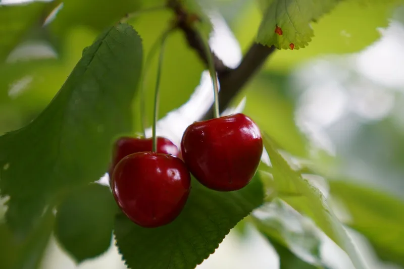
Isparta Cherries
Isparta cherries are the sweet cherries of Türkiye's Lakes Region, grown on high ground where cold winters and dry, sunlit summers give the fruit its size and sweetness.
Explore →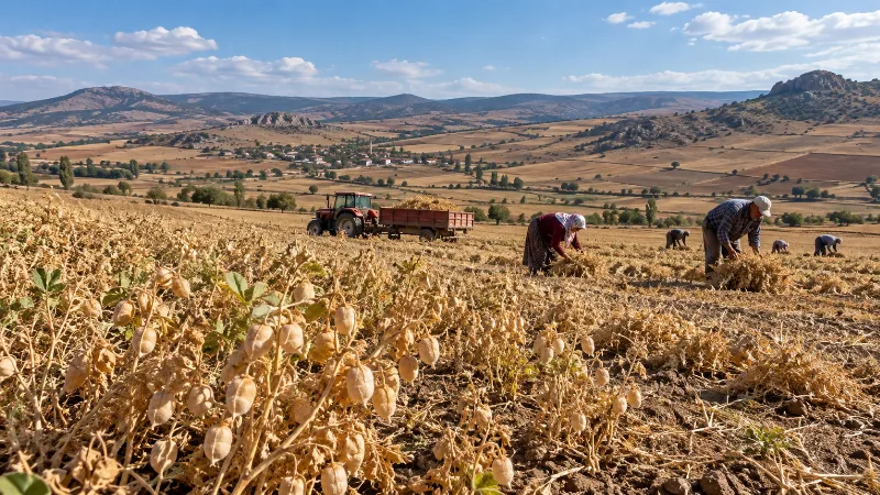
Çorum Chickpeas
Çorum chickpeas are the chickpeas grown across the dry inland plateaus of Çorum province in northern Türkiye, where a transitional continental climate suits the crop and where the same local harvest feeds the region's well-known leblebi tradition.
Explore →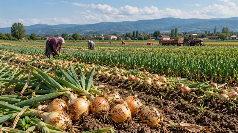
Adapazarı Onions
Adapazarı onions are a locally distinctive onion type grown on the fertile plain around Adapazarı in Sakarya province, where deep alluvial soils and a mild, transitional climate produce bulbs noted for their mild sweetness and their ability to keep well after harvest.
Explore →Related content
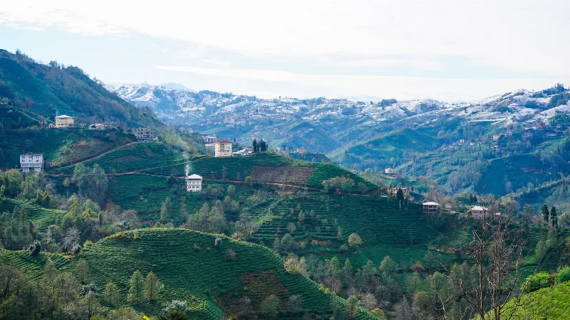
Rize
Rize is the capital of Rize Province on Türkiye's northeastern Black Sea coast, a city shaped by tea plantations, steep forested slopes and the high plateaus of the Kaçkar Mountains further inland.
Kaçkar Mountains
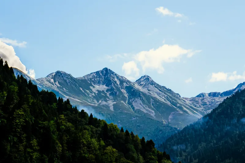
The Kaçkar Mountains form the highest section of Turkey's Black Sea ranges, a glacially sculpted landscape of sharp summits, cirque lakes and high summer pastures.
Ayder
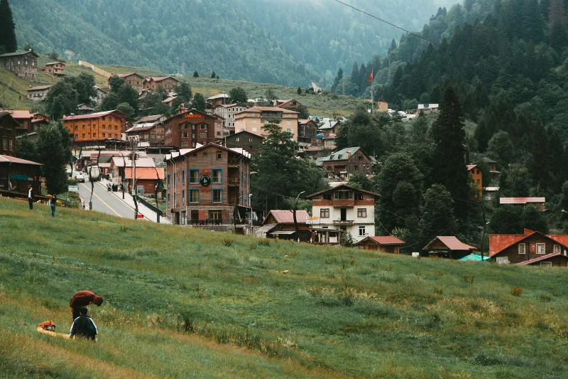
Ayder is a highland village in the Çamlıhemşin district of Rize, set in the Kaçkar Mountains and known above all for its thermal springs, timber architecture and waterfalls.
Nature Reserves of the Black Sea Region
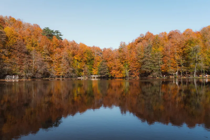
Türkiye's Black Sea coast hides a chain of protected landscapes, from glacial lakes in the Kaçkar Mountains to canyons and old-growth forests in Kastamonu and Bartın.
2-Day Rize and Ayder Route
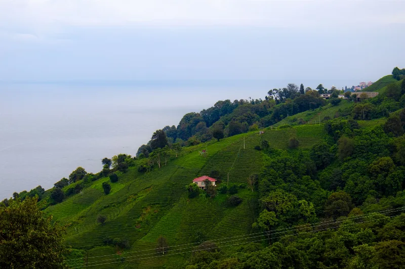
A two-day linear route from Rize city through the coastal tea gardens and the Fırtına Valley to the Ayder Plateau in the Kaçkar Mountains.
Black Sea Region
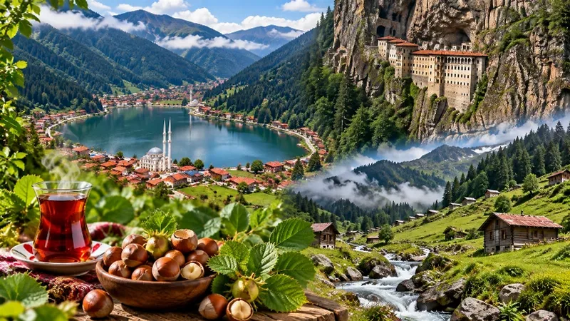
The Black Sea Region of Türkiye is known for its lush green mountains, misty highlands, dense forests and traditional villages. Stretching along the country's northern coast, the region combines spectacular natural scenery with historic towns, tea-growing landscapes and distinctive local traditions.